
- Brief description
-
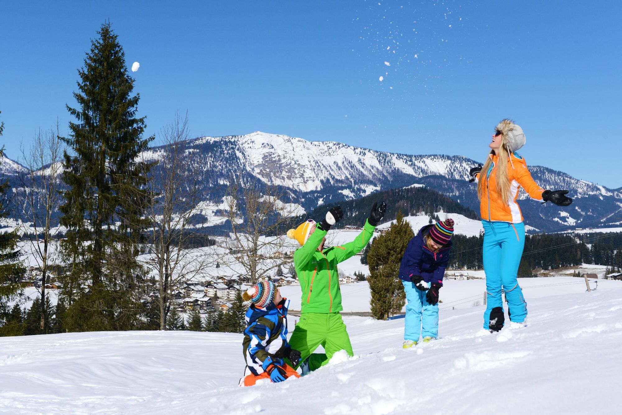
Wonderful winter hike in a sunny location.
- Difficulty
-
medium
- Rating
-
- Starting point
-
car park Oberlehenbauer (Schorn 52, 5441 Abtenau)
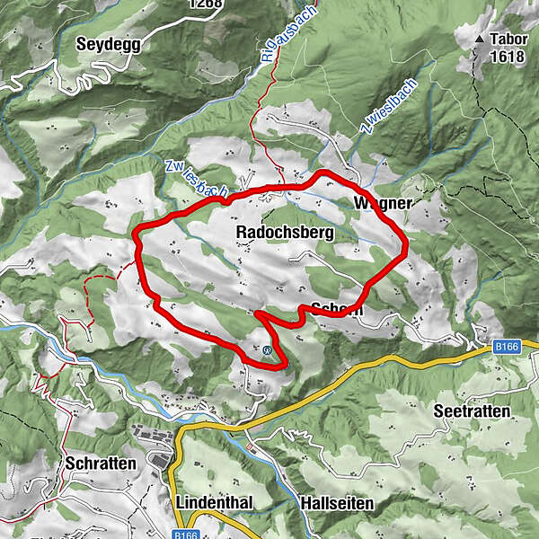
- Route
-
Schorn0.1 kmMöselberg2.7 kmRadochsberg5.3 kmWagner6.4 kmSchorn7.7 km
- Best season
-
AugSepOctNovDecJanFebMarAprMayJunJul
- Description
-
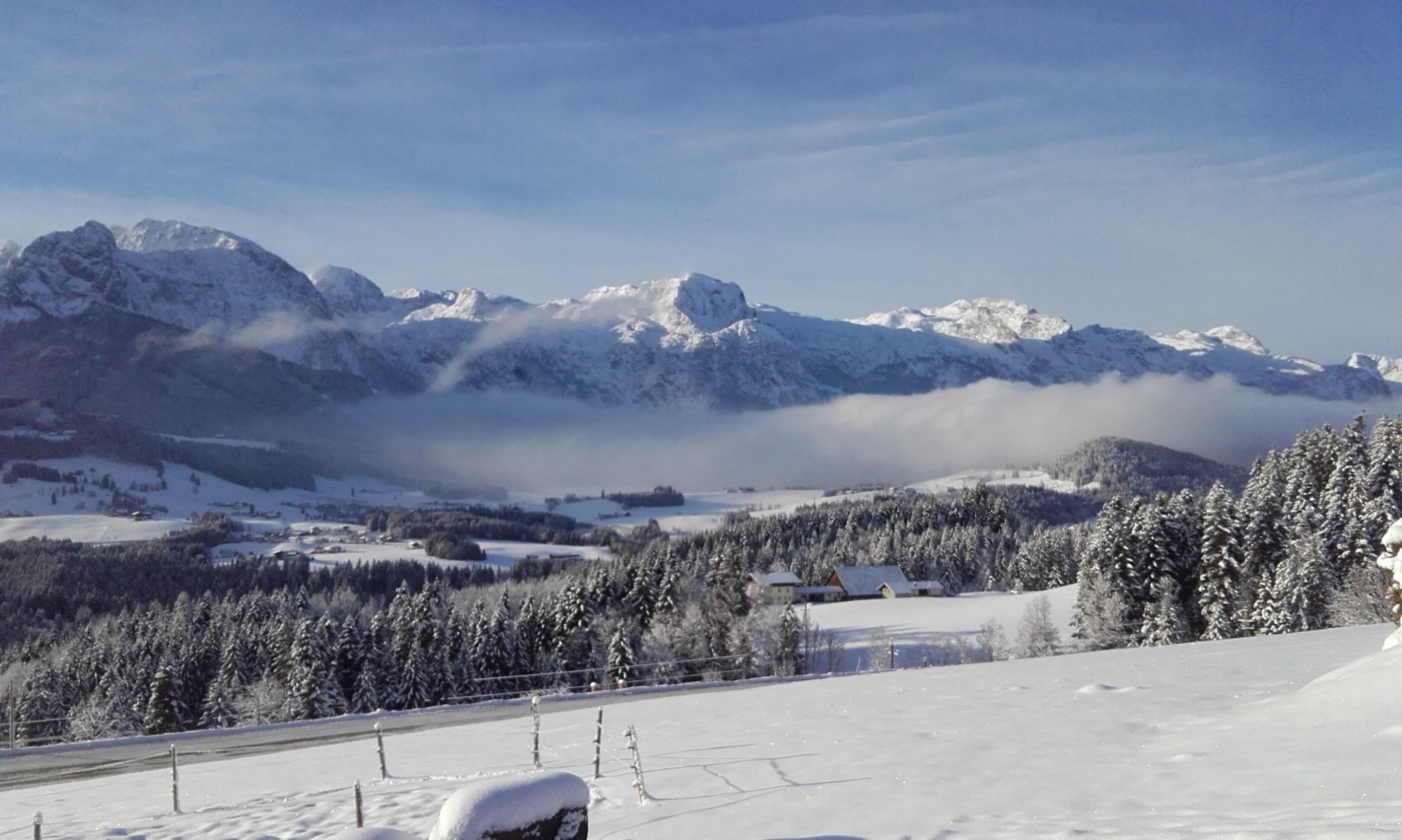
Shortly after the bridge, turn left and follow the sign "Radochsberg", which leads to a higher, very quiet and sunny area. On the road with little traffic, you hike around the Radochsberg, with wonderful views of the Tennengebirge, the Hoher Dachstein, the Bischofsmütze and the Osterhorn group again and again.
- Directions
-
From the starting point at the Oberlehen car park, the winter hiking trail starts in a south-westerly direction along Radochsbergstraße. The entire route follows the less frequented road in the Radochsberg district. After about one kilometre, the trail leads through a piece of forest. Then you follow the road for half a kilometre and come to a fork. Here you branch off to the right onto a small, somewhat steeper section. Then follow the moderate path with a magnificent view of the Tennengebirge mountains covered in deep snow! After about 1.5 kilometres, the trail leads through an idyllic coniferous forest, which you leave again after 1.5 kilometres. Now you come to the "village centre" with the St. Herz Jesu branch church. From here the trail continues uphill to the so-called "Spießhöhe", where you can enjoy the beautiful Dachstein view. After a short rest at the observation bench, the winter hiking trail now leads downhill to the starting point.
- Highest point
- 898 m
- Endpoint
-
car park Oberlehenbauer (Schorn 52, 5441 Abtenau)
- Height profile
-

- Equipment
-
Sturdy shoes, suitable winter clothing.
- Safety instructions
-
Watch out for car traffic.
- Tips
-
Enjoy the sun and the view in peace and quiet on the many power benches.
A highlight in summer too! - Additional information
- Directions
-
Motorway A 10, exit Golling, on the federal road B 162 to Abtenau, then B 166 towards Russbach. At Baustoffhandel Pointinger (building materials trade) turn left off the Paß Gschütt-Bundesstraße onto the Radochsberg Güterweg. Continue to the crossroads at Appartmenthaus Vergissmeinnicht, then turn right approx. 2 kilometres to Oberlehenbauer.
- Public transportation
-
Unfortunately no connection with public transport.
- Parking
-
car park Oberlehenbauer (Schorn 52, 5441 Abtenau)
- Author
-
The tour Abtenau: Radochsberg round trail is used by outdooractive.com provided.