
- Brief description
-
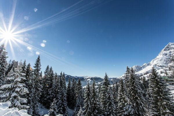
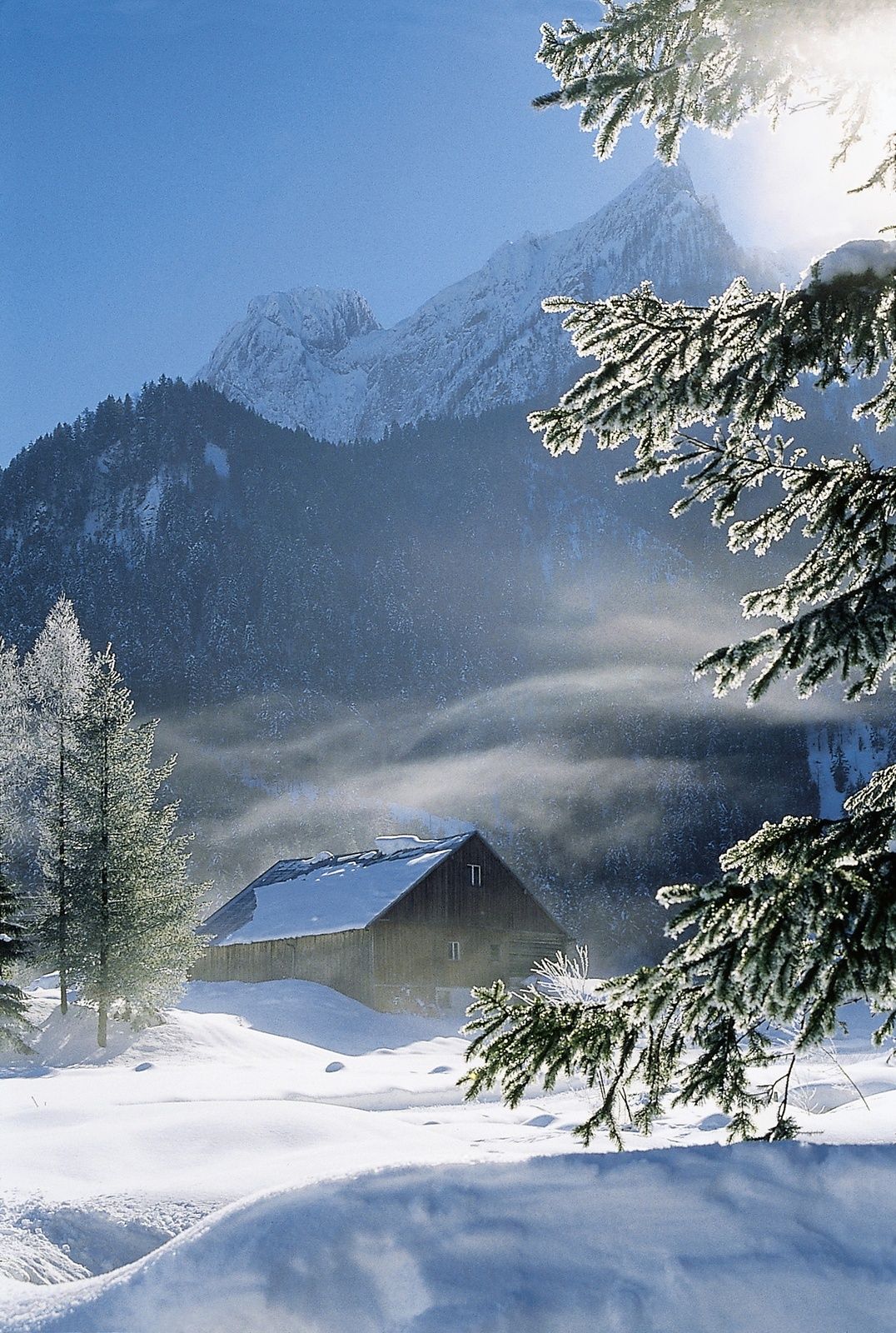
Winter hike at the foot of the Tennengebirge around the Arlstein.
- Difficulty
-
easy
- Rating
-
- Starting point
-
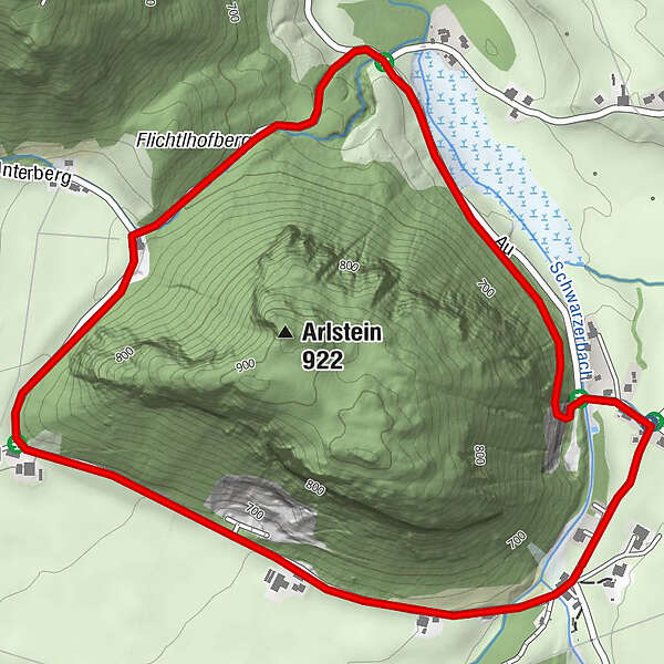
car park: heritage museum Arlerhof Abtenau
- Route
-
Au0.2 kmUnterberg2.4 km
- Best season
-
AugSepOctNovDecJanFebMarAprMayJunJul
- Description
-
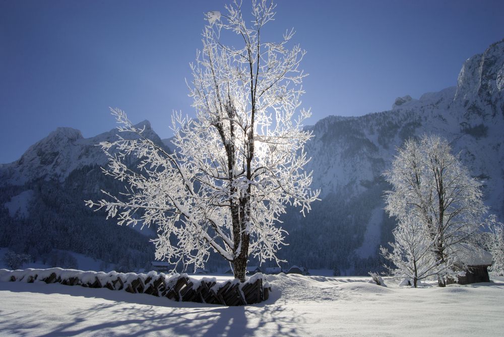
The winter hike "Arlstein-Runde" is an easy hike with starting and ending point at the car park of the Arlerhof heritage museum across the frosty Au, where impressive hoarfrost crystals glisten.
- Directions
-
From the heritage museum Arlerhof, start in the direction of Abtenau. After approx. 200m, turn left at the crossroads onto the side road, on which you hike along the Schwarzenbach for about 1 kilometre. Shortly after the bridge, take the turnoff to the left into the forest with a slight ascent (sign R37). When you leave the forest, turn left and follow the road. Along this road you can enjoy the breathtaking view of the Tennengebirge mountains covered in deep snow.
- Highest point
- 711 m
- Endpoint
-
car park: heritage museum Arlerhof Abtenau
- Height profile
-

- Equipment
-
Winter-proof footwear, suitable winter clothing.
- Safety instructions
-
Pay attention to the traffic.
- Tips
-
Restaurant at the Jausenstation Wandalm (snack station) (approx. 500m from the car park) +43 6243 3059.
A wonderful, easy hiking trail also in summer. - Additional information
- Arrival
-
Coming from the direction of Vienna on the A 1 or from the direction of Munich on the A9, at junction Salzburg continue on the A10 - Tauernautobahn, exit Golling-Abtenau, exit 28 or exit Lammertal-Hüttau, exit 56/60 and then on the Lammertal-Bundesstraße to Abtenau.
Approx. 1 kilometre after the town sign, at Landmaschinen Wallinger (agricultural machinery dealer) , turn right into the Au district. Follow the signs to Heimatmuseum Arlerhof.
- Public transportation
- Parking
-
car park heritage museum Arlerhof

-

-
AuthorThe tour Abtenau: Arlstein round hike is used by outdooractive.com provided.