
- Brief description
-
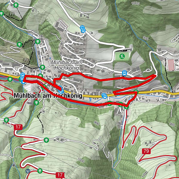
Come and enjoy the scenery in beautiful Mühlbach as you walk through and round our village.
- Difficulty
-
easy
- Rating
-
- Starting point
-
Tourist Office Mühlbach
- Route
-
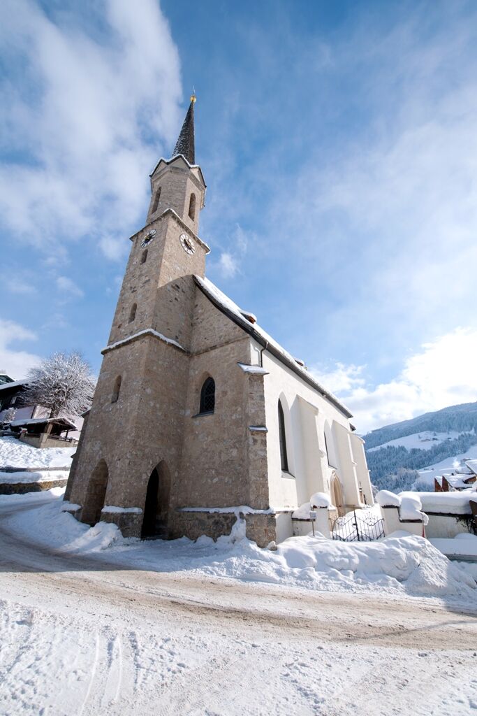
Mesnerhaus, Café, Bar & Restaurant0.1 kmAnderlwirt0.1 kmPfarrkirche zum hl. Sebastian0.1 kmMühlbach am Hochkönig2.1 kmHöring2.4 km
- Best season
-
AugSepOctNovDecJanFebMarAprMayJunJul
- Description
-
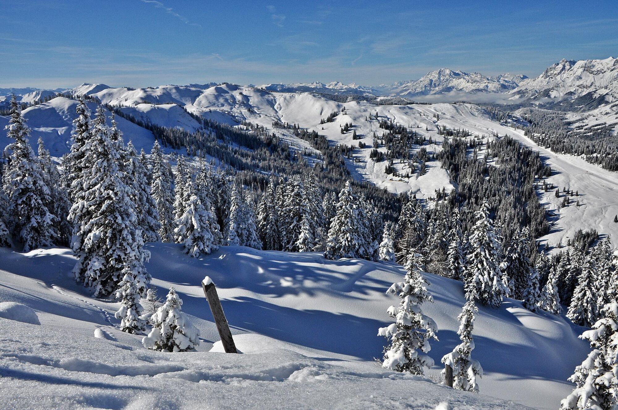
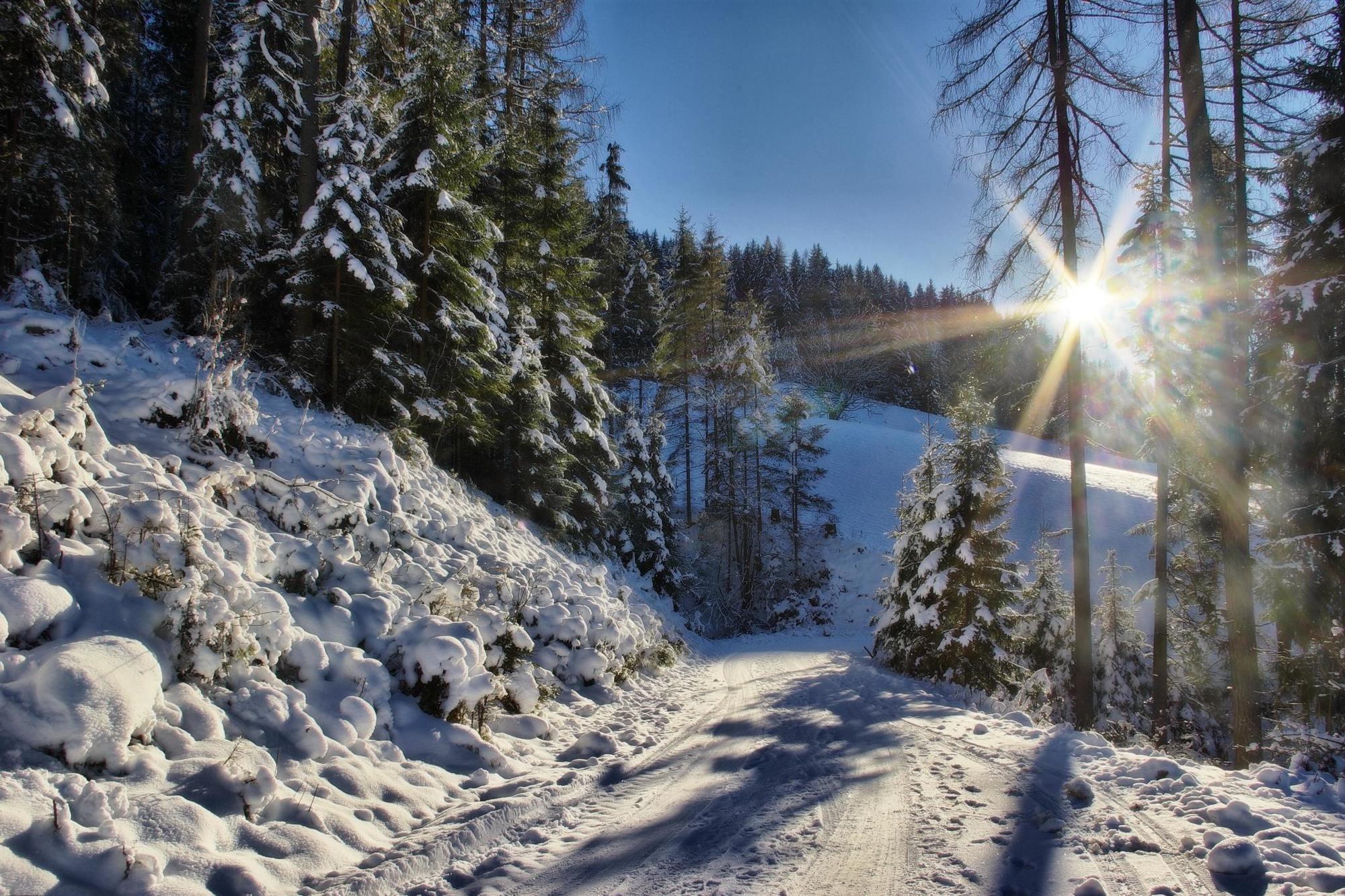
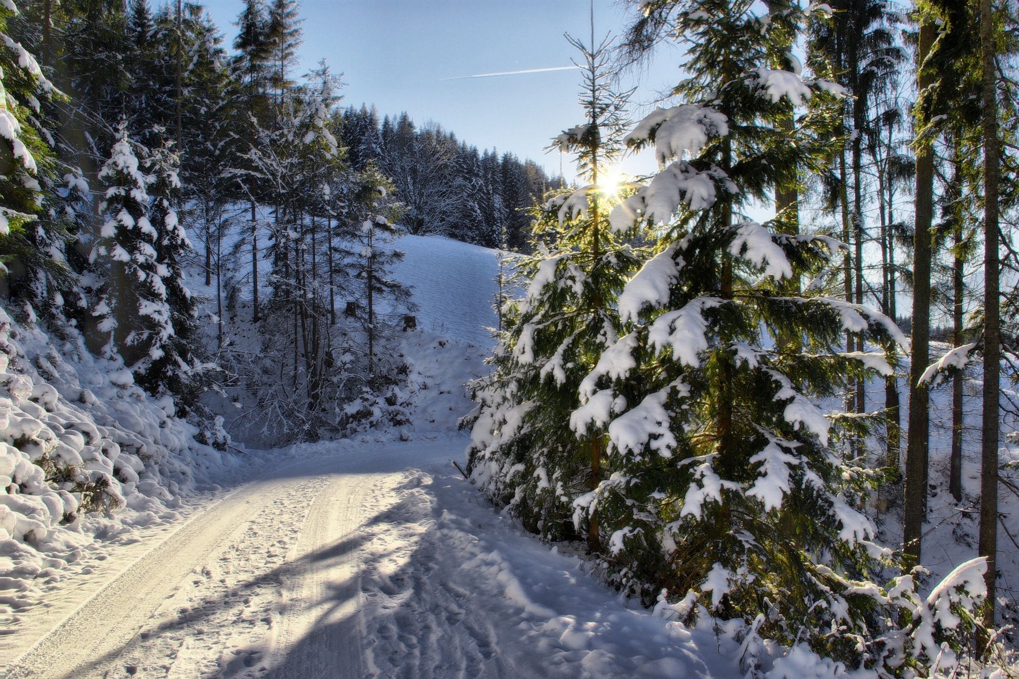
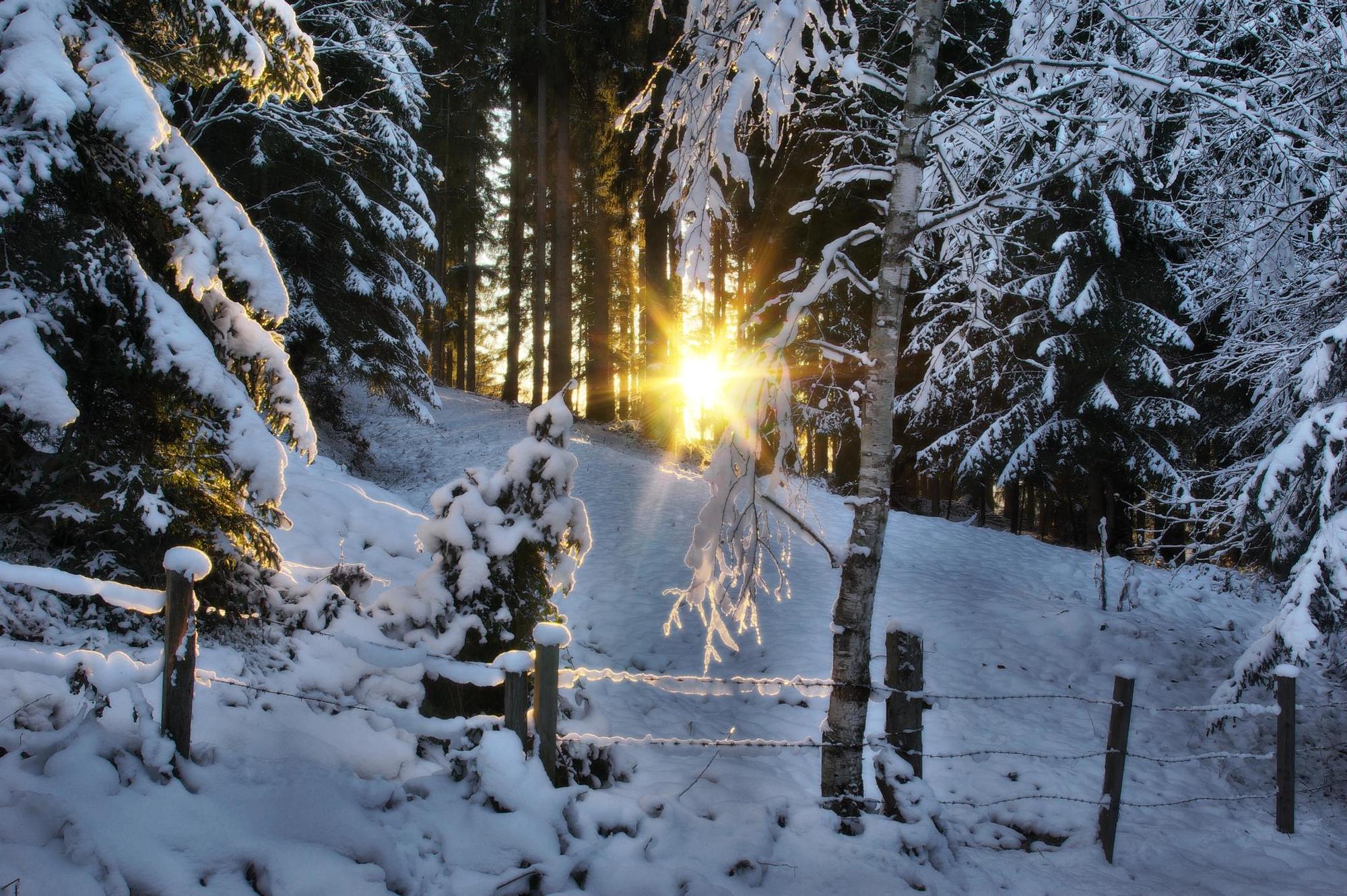
Wonderful hiking experiences in the snow
Hiking is fun even in winter! The snow crunches under your feet as you cross the glistening and magical winter wonderland. On 85 km of groomed winter hiking paths, you will have plenty of time to enjoy the view of the Hochkönig's wonderful alpine world.
- Directions
-
All "winter hiking routes" start from the Tourist Office - view to the BK Bike bike shop.
Follow the road to the left until you reach the bridge by the village mill. Walk along the ski path, past the curling rink, through the "Neubau" settlement until you reach the Scherer inn, where there is another small bridge. After this, turn left and continue to the main road, where you turn left again. At the "Wittig" junction, turn left, along a steep incline, past the "Proneben" entrance to the first apartment block on the left. The path leads you under the apartment block past several garages. The so-called "Wittigweg" ends above the miners' home. Now simply follow the road downhill into the village.
- Highest point
- 879 m
- Endpoint
-
Tourist Office Mühlbach
- Height profile
-

- Equipment
-
Look for a appropriate equipment such a waterproof, semi-heeled shoes (warm boots) and warm outerwear. Further useful items include: headgear, gloves, snow goggles or sunglasses, sunscreen. "Shoe chains" protect against ice slipping on ice and snow, even poles are also helpful.
- Safety instructions
-
Stay on marked hiking trails (pink signs). Small steps and steady pace uphill save your strength and the joints to going downhill. Bending the upper body to the front when you walking downhill, to reduce the risk of slipping. Take something to drink, drinking is important. Check the Information at your hosts or at the tourist office for the weather. Fog and bad weather can surprisingly quickly. You should return in time before you take a risk. As a winter hiker you are on way with your own responsibility. - as well as a summer hiker.
- Tips
-
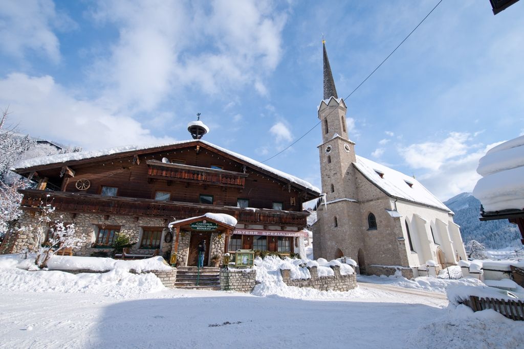
Visit the Sebastian church and the copper - mining museum at the Knappenheim.
- Additional information
- Directions
-
Arriving from Salzburg: Take the A10 motorway to the Bischofshofen exit, then take the B311 in the direction of Bischofshofen. Follow the Hochkönig main road/B164 to Mühlbach.
Coming from Innsbruck/ Kufstein: On the Loferer Straße/B178 towards St. Johann i.T., then on the Hochkönig Bundesstraße/B164 via Saalfelden and Maria Alm to Mühlbach.
- Public transportation
- Parking
-
Parking opposite the fire department.
- Author
-
The tour Winter hiking "Wittigweg" is used by outdooractive.com provided.