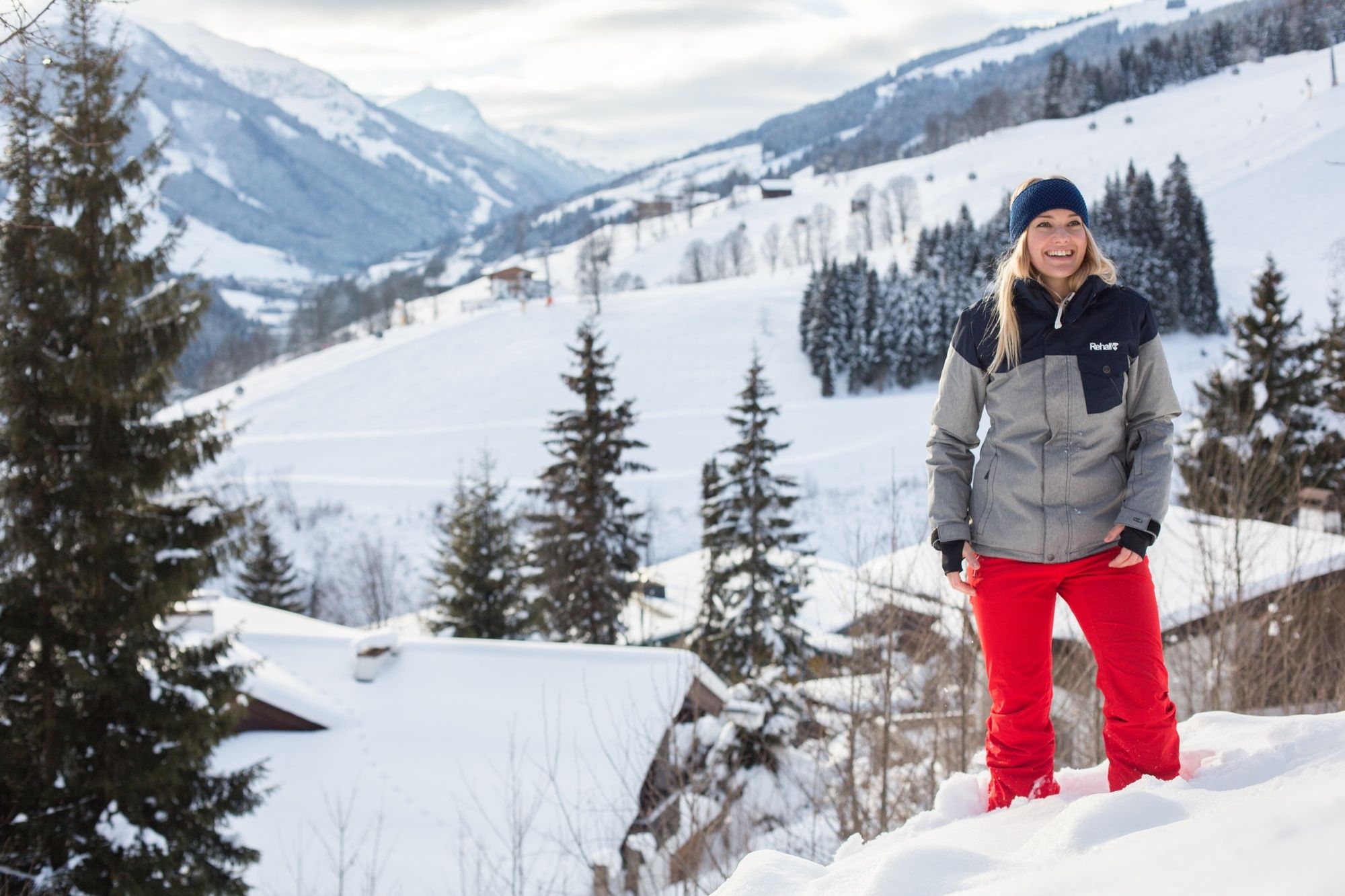
© Saalbach Hinterglemm - saalbach.com, Mirja Geh

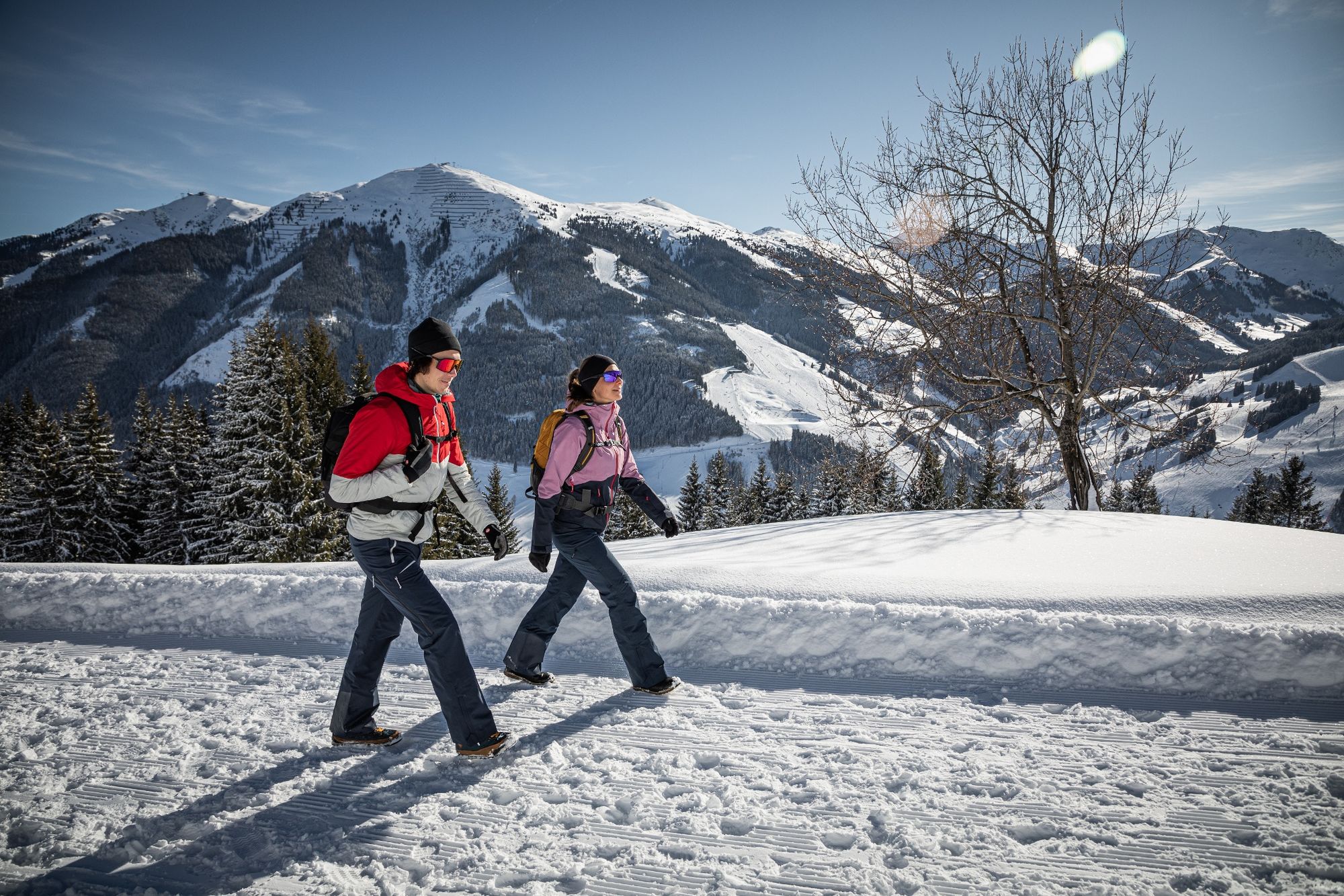
© Saalbach Hinterglemm - Paul Kubalek
- Brief description
-
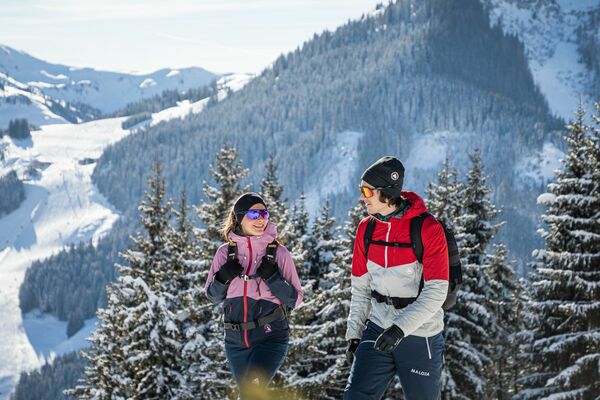
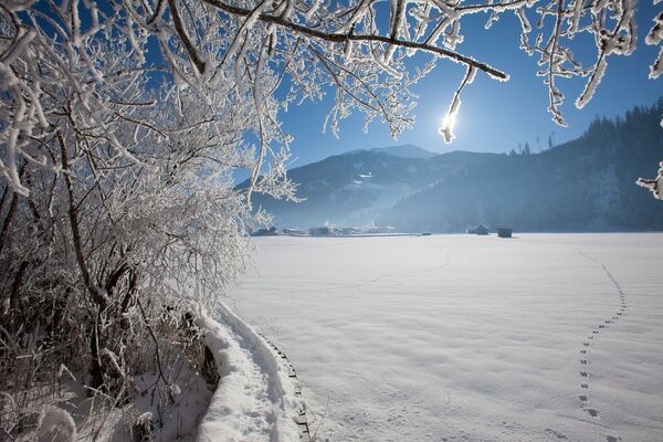
Lovely hike with a fantastic view of Saalbach
- Difficulty
-
easy
- Rating
-
- Starting point
-
Town hall Saalbach (village square)
- Route
-
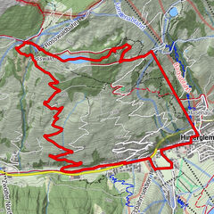
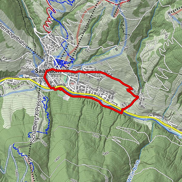
Saalbach3.4 km
- Best season
-
AugSepOctNovDecJanFebMarAprMayJunJul
- Description
-
Start at the village square Saalbach and follow the steep alley next to the church towards the Kohlmaisbahn. Continue the Ronachweg to the Ederbauer. Descent via the Bergerkreuz to the main road. Cross the bridge and follow the promenade to the multi storey car park in Saalbach. From this point cross the road and head back towards the village square.
- Highest point
- 1,064 m
- Endpoint
-
Dorfplatz Saalbach
- Height profile
-

- Directions
-
From Maishofen approx. 14 km along the L111 to Saalbach. At the Aral petrol station turn right into the tunnel where you will find the park house (in the tunnel)
- Public transportation
-
Postbus - daily from 07.00 - 19.00
http://www.postbus.at/de/Fahrplanauskunft/index.jsp
- Parking
-
Park house centre
-

-
AuthorThe tour S04 Ronach is used by outdooractive.com provided.
GPS Downloads


General info
Refreshment stop
Other tours in the regions
-
Saalbach Hinterglemm
187
-
Hochfilzen
64