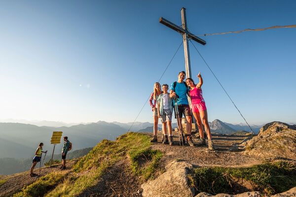

- Brief description
-
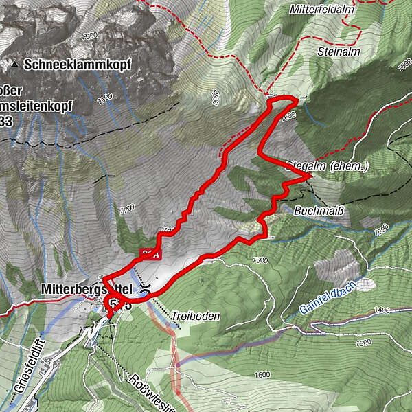
A pleasant circular trail from the Arthurhaus to the Mitterfeldalm and back again via the Stegalm. Here you don't have to walk many meters of altitude but it is a productive hike!
- Difficulty
-
medium
- Rating
-
- Starting point
-
Arthurhaus
- Route
-
Arthurhaus0.1 kmMitterbergsattel (1,515 m)0.2 kmMitterfeldalm2.1 kmMitterbergsattel (1,515 m)4.4 kmArthurhaus4.9 km
- Best season
-
JanFebMarAprMayJunJulAugSepOctNovDec
- Description
-
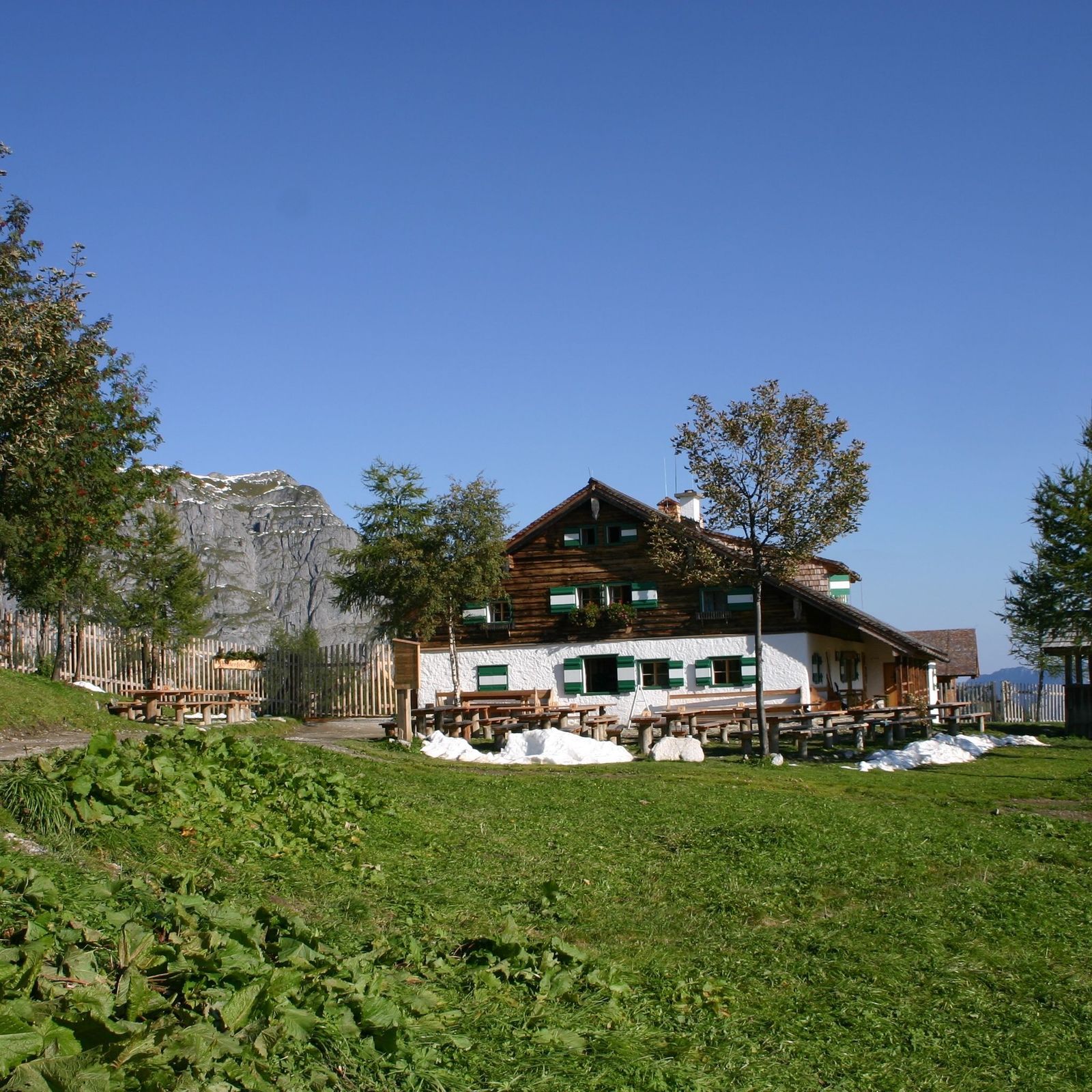
This hike makes hikers' hearts beat faster!At the Arthurhaus, with a view of the Mandlwände, turn right and then walk leisurely along a wide hiking trail.Enjoy the pure nature of Mühlbach with its most beautiful places. When you reach the Mitterfeldalm you must try a nutstangerl, simply wonderful!
Afterwards you walk a short distance through the forest to the Stegalm and further along the marmot trail back to the Arthurhaus.
- Directions
-
A wide hiking trail with the number 430 leads to the Mitterfeldalm. From there a small section through the forest (number 83)The way back is via path number 83 and then 18.
- Highest point
- 1,660 m
- Endpoint
-
Mitterfeldalm
- Height profile
-

- Equipment
-
Good walking shoes , possibly rain gear, something to drink.
- Safety instructions
-
Please observe the 10 rules of conduct when handling grazing livestock.
- Tips
-
Eating possibilities:
On the way:
Arthurhaus Schweizerhütte MitterfeldalmAt the village:
Alpenrose Café Höring Anderlwirt Mesnerhaus Café Bauer - Additional information
- Directions
-
Hochkönigbundesstrasse B164 , Mandlwandstraße in the direction Arthurhaus.
- Public transportation
- Parking
-
Parking directly at the Arthurhaus.
- Author
-
The tour Arthurhaus - Mitterfeldalm is used by outdooractive.com provided.