


- Brief description
-
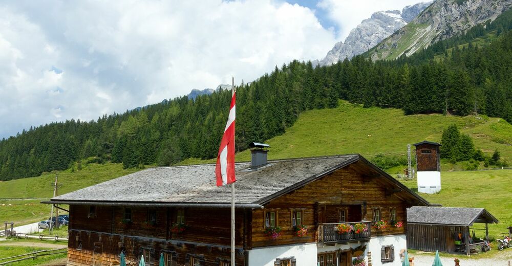
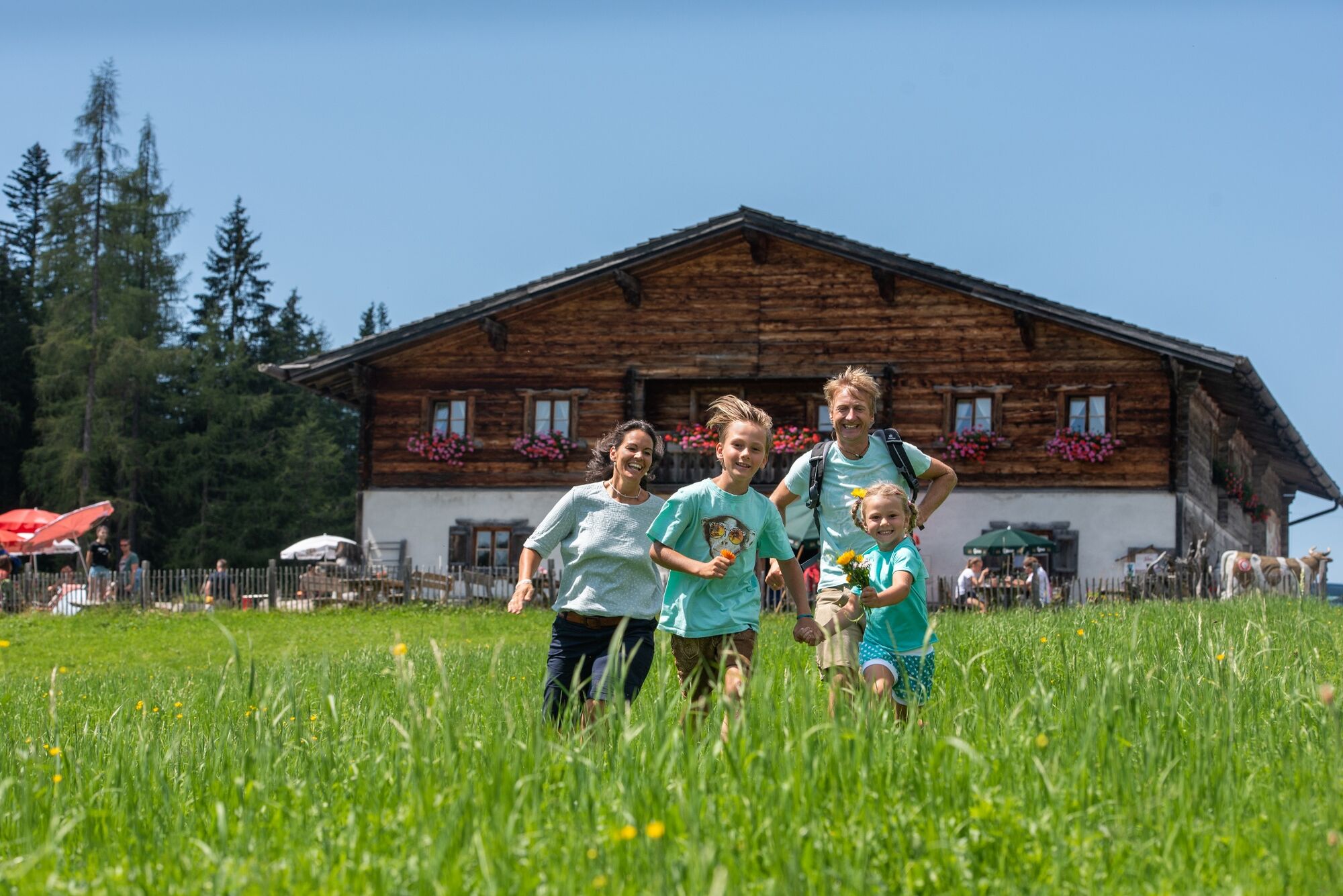
Easy family hike at 1,540 m to the Tiergartenalm!
- Difficulty
-
easy
- Rating
-
- Starting point
-
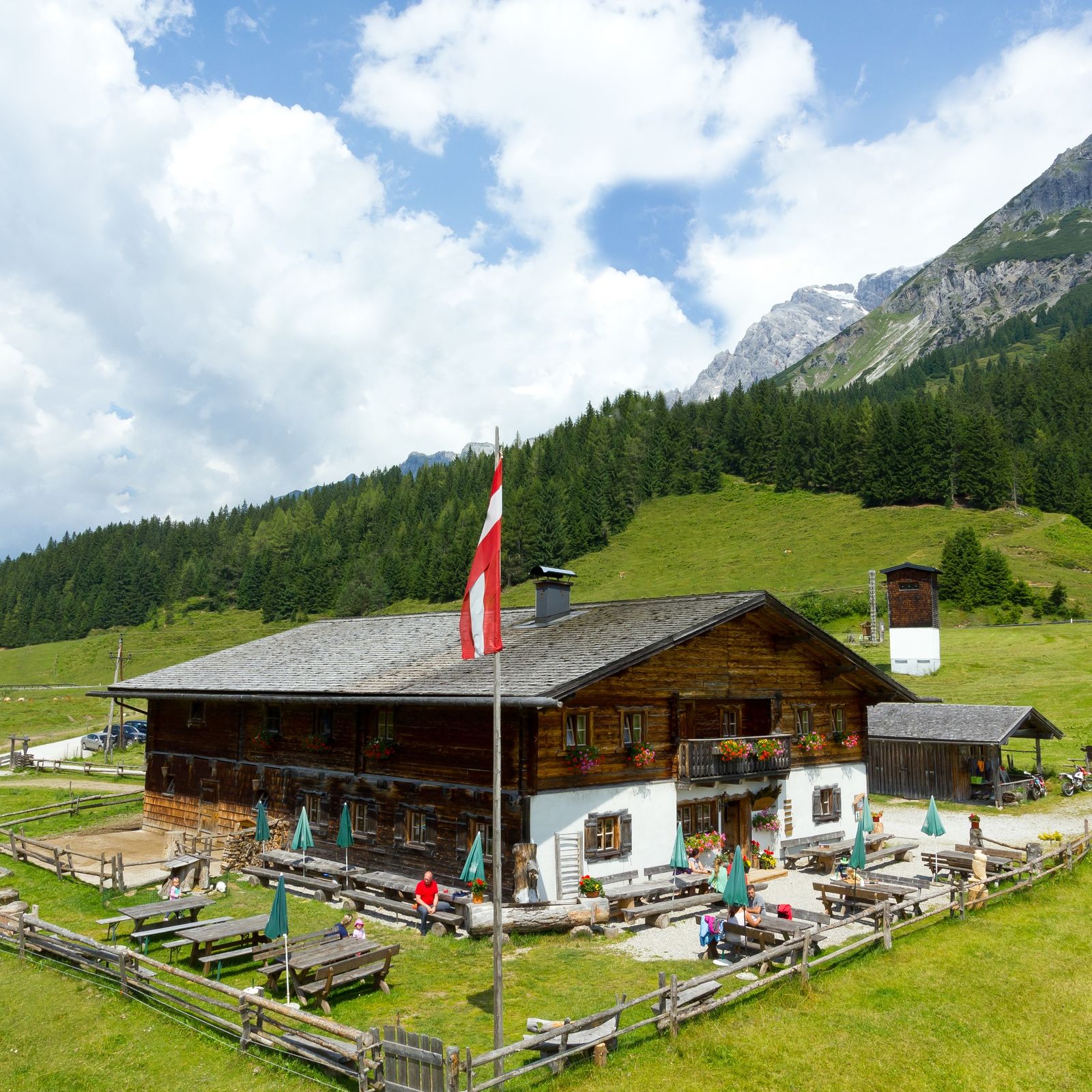
Dietnalm
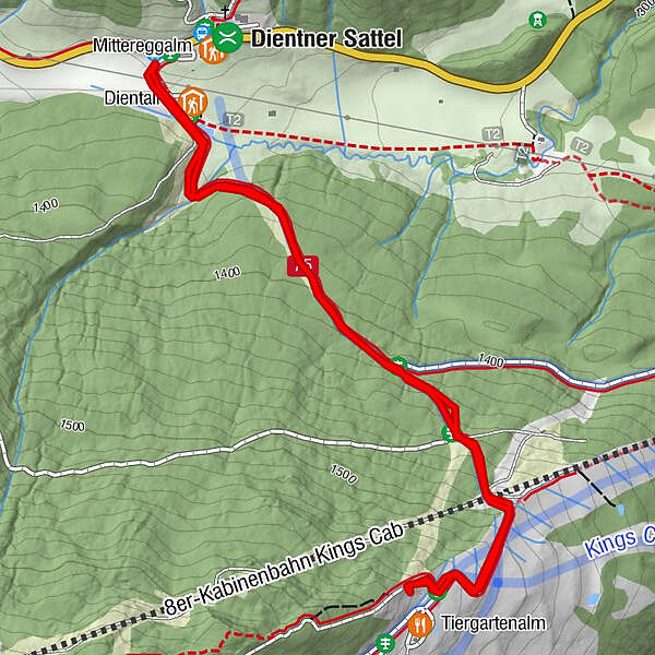
- Route
-
Dientalm0.1 kmDientalm3.1 km
- Best season
-
JanFebMarAprMayJunJulAugSepOctNovDec
- Description
-
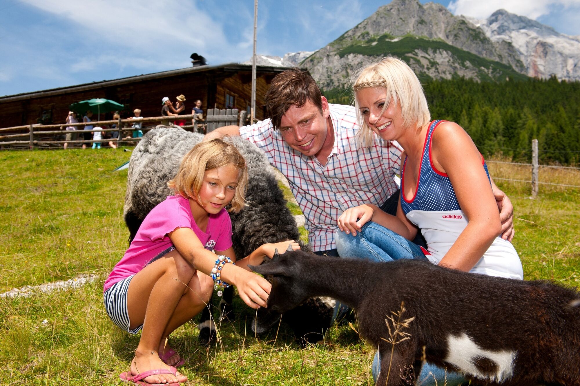
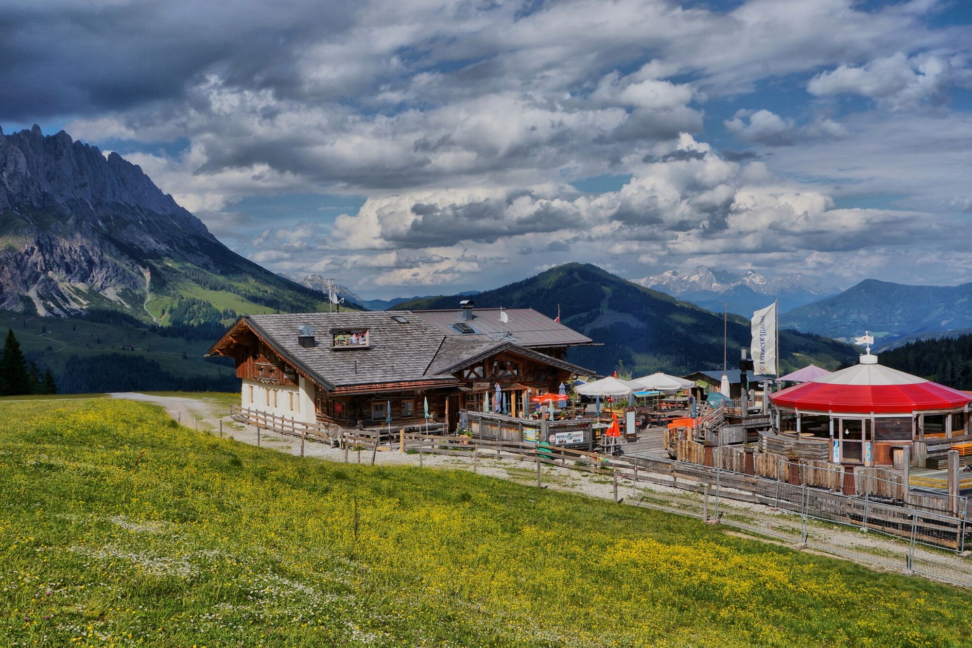
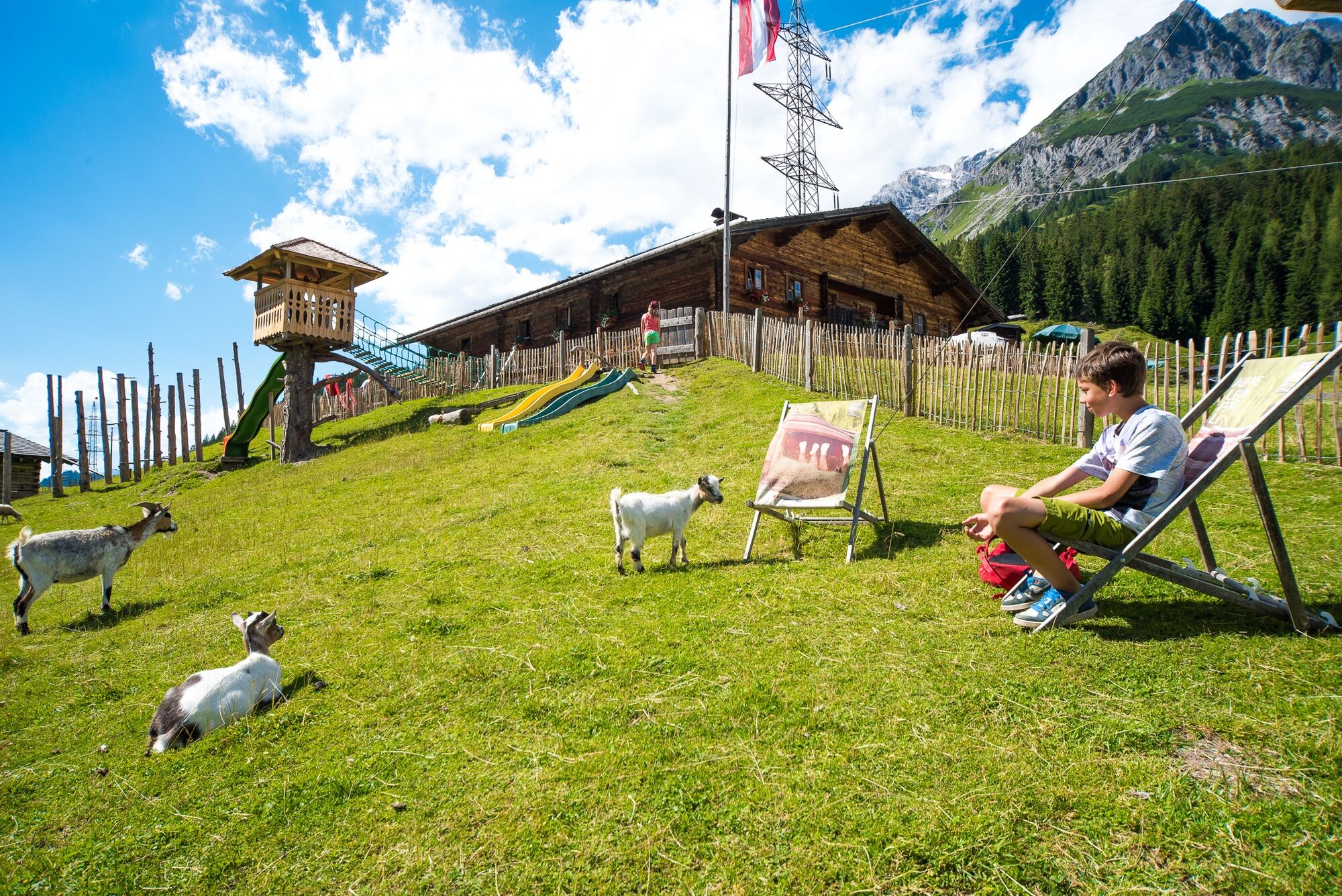
Passing the Dientalm on the right, the trail continues along the wide alpine path no. 75 to the Tiergartenalm. The easy hike up to the rustic alpine pasture at 1,540 m with a petting zoo and wonderful sun terrace offers cosiness in a dreamlike environment.
- Directions
-
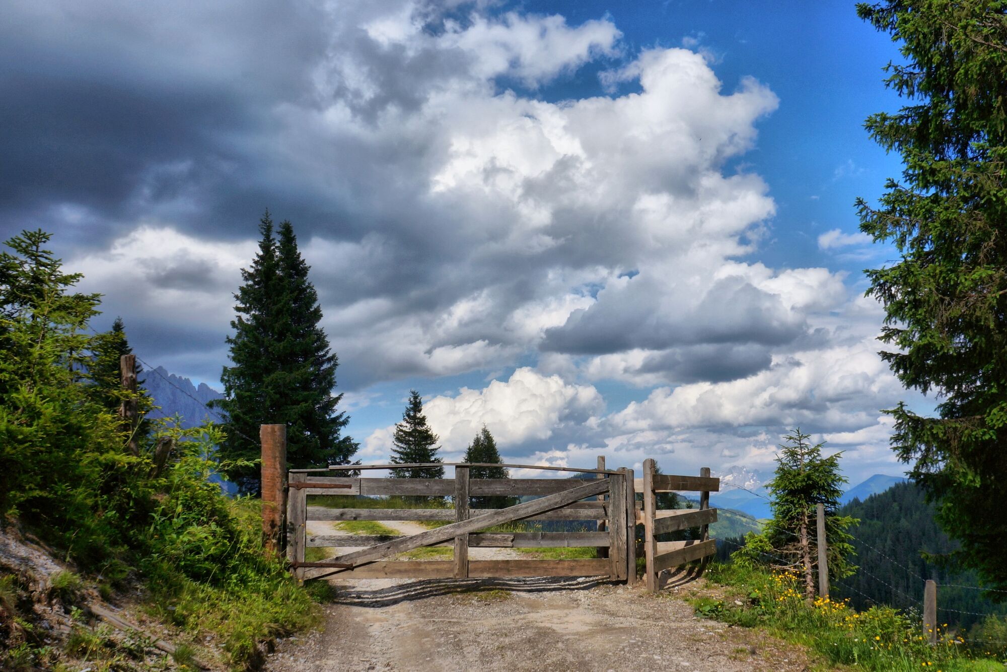
From the Dientalm, trail no. 75 leads along a gravel road steadily uphill to the Tiergartenalm.
- Highest point
- 1,545 m
- Endpoint
-
Dientalm
- Height profile
-

- Equipment
-
Solid, ankle-high hiking boots with grippy sole
Hiking poles
Long and short sleeve breathable clothing
Wind and rain protection
Headgear
Sun protection
Sunglasses
Sun cream
Drinking bottle
Muesli bars
Hiking map
Binoculars
Camera
dressing material
... - Safety instructions
-
Safe hiking requires advance information and preparation. Please observe the rules for correct behaviour in the mountains. Because your safety is very important to us. And don't forget to drink plenty of fluids during the tour! Take litter down into the valley. Conserve the flora and fauna. Behaviour with animals on the mountain pastures: Do not stroke or irritate cows, calves, sheep, horses etc., but behave "quite normally" and do not show any fear. Do not leave paths on alpine pastures and avoid animals at great distances. Dogs must be kept on a leash. Dogs must never chase the grazing animals, especially mother cows fear for their calves. However, should a grazing animal attack the dog, simply let it run for its own protection.
Emergency numbers:
Alpine emergency call: 140 International emergency call: 112 - Tips
-
The tasty Kaiserschmarrn and the dumpling soup are a real must! Near the Tiergartenalm there is our ant trail, it's worth a look!
- Additional information
- Directions
-
Arrival from Bischofshofen: Take the A10 motorway to the Bischofshofen exit, then follow the Hochkönig federal road/B164 to Mühlbach.
Coming from Saalfelden: On the Loferer Straße/B178 towards St. Johann i.T., then on the Hochkönig Bundesstraße/B164 via Saalfelden to Mühlbach.
- Public transportation
- Parking
-
Car park Dientner Sattel

- Author
-
The tour FAMILY WALKING ROUTE Dientalm to Tiertgartenalm is used by outdooractive.com provided.


General info
-
Hochkönig
2016
-
Mühlbach am Hochkönig
597


