- Brief description
-
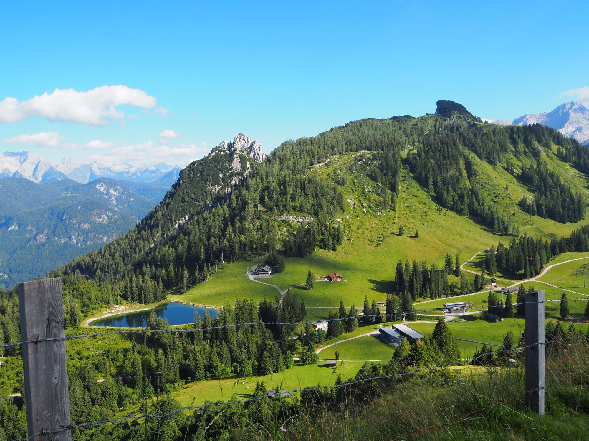
Very beautiful hike from the Almenwelt Lofer in the Salzburger Saalachtal to the Steinplatte in Tyrol.
- Difficulty
-
medium
- Rating
-
- Starting point
-
Mountain station of the Almbahn II
- Route
-
Soderkaser0.1 kmSteger Kaserei0.2 kmSkihütte Schönblick0.4 kmSkihütte Restaurant Almtreff1.4 kmPanorama Tenne9.4 km
- Best season
-
JanFebMarAprMayJunJulAugSepOctNovDec
- Description
-
From the Almenwelt Lofer in the Salzburger Saalachtal, this beautiful trail takes you up to the Steinplatte in Waidring.
- Directions
-
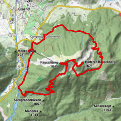
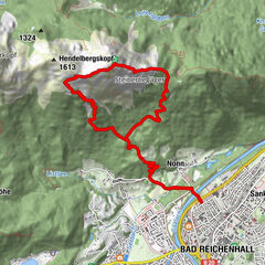
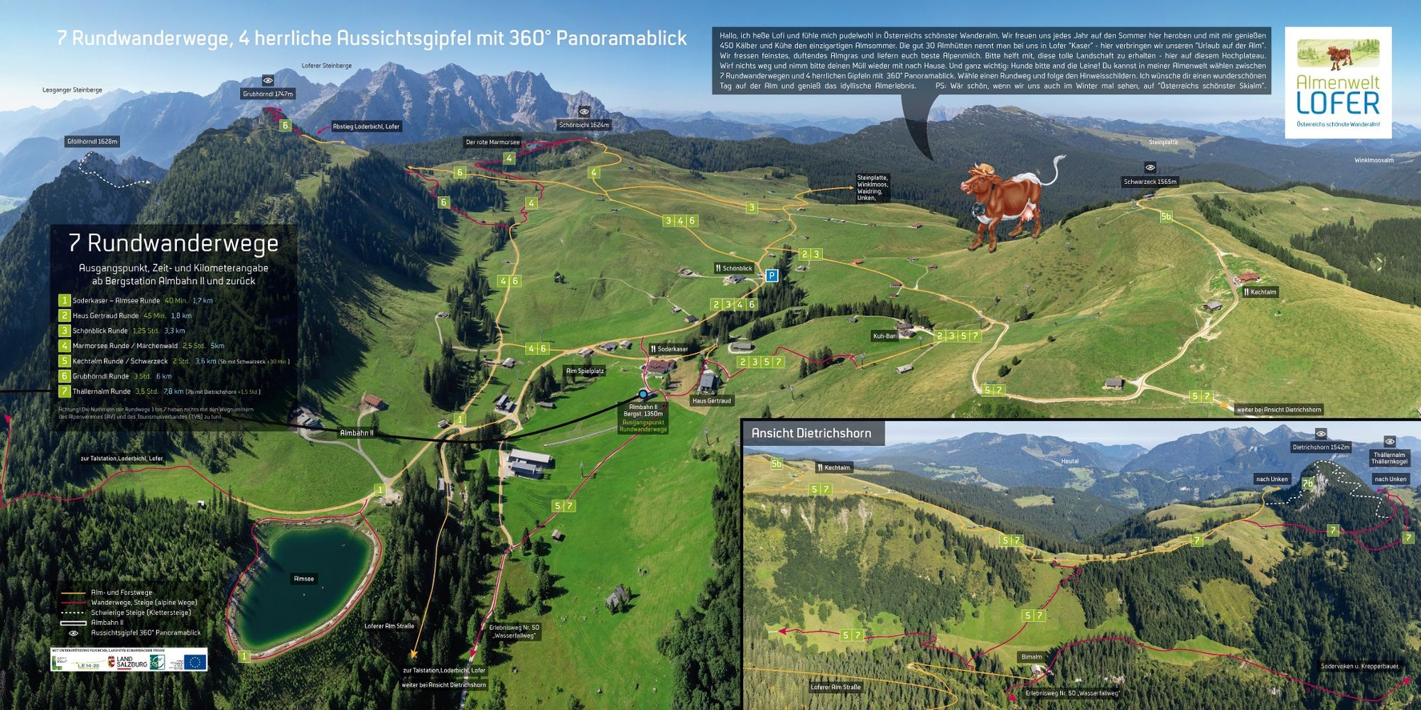
We start our hike on the Loferer Alm at the mountain station of the Almbahn II cable car. From here we walk past the Schönblick inn and over a saddle back down towards the Schönbühelbahn cable car. From here, the Klemmerichsteig trail begins, which takes us up to the Steinplatte.
For the way back, you can either return the same way or walk down along the cable car towards the valley station and then take the 4012 bus from Waidring towards Lofer. From there it is another 3 minutes to the Almbahn I valley station.
- Highest point
- 1,643 m
- Endpoint
-
Steinplatte mountain station
- Height profile
-

- Equipment
-
Hiking equipment
- Tips
-
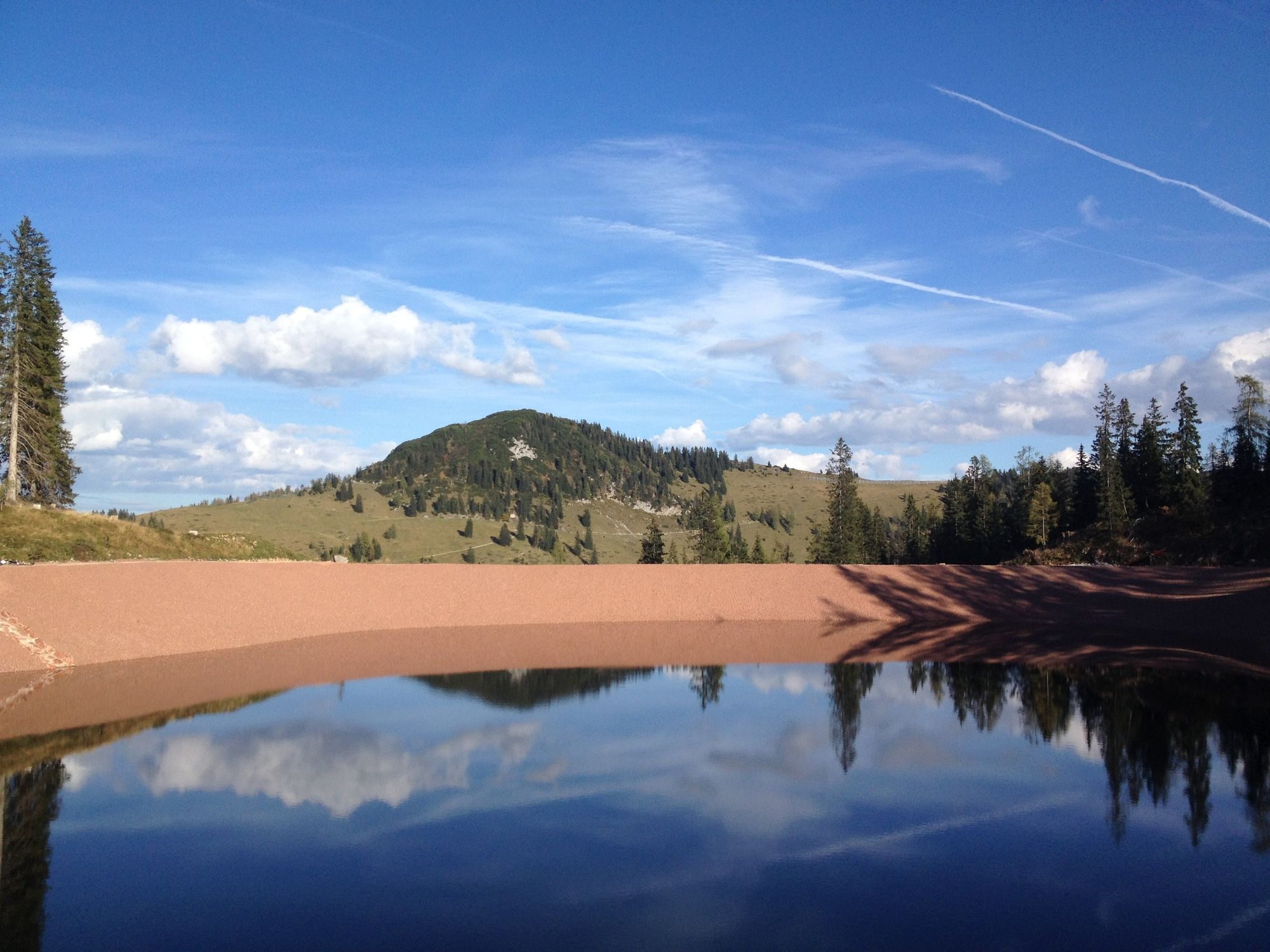
Be sure to take a short detour to the "Red Marble Lake"
- Additional information
- Directions
-
By car to the centre of Lofer to the Almenwelt Lofer car park
- Public transportation
- Parking
-
Car park at the Almenwelt Lofer valley station or large car park at the Salzburger Saalachtal tourist office
-

-
AuthorThe tour From the Loferer Alm to the Steinplatte is used by outdooractive.com provided.


General info
-
Salzburger Saalachtal
1827
-
Waidring
342