
- Brief description
-
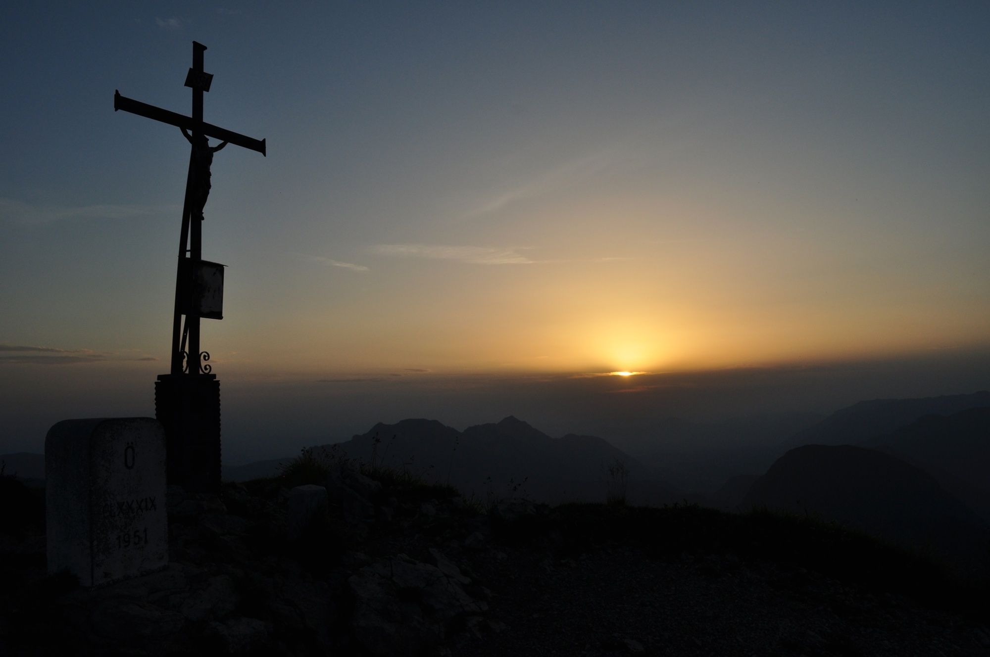
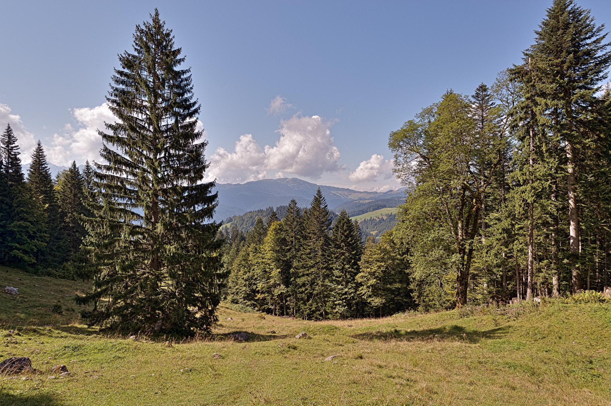
The Sonntagshorn (1961m) is the highest peak in the Chiemgau Alps and offers wonderful distant views in all directions.
- Difficulty
-
medium
- Rating
-
- Starting point
-
Car park Heutalbauer
- Route
-
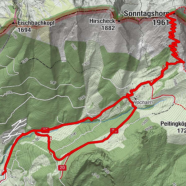
Angerertal0.4 kmTrostberger Hütte2.2 kmHochalm2.5 kmPerchthöhe3.5 kmSonntagshorn (1,961 m)5.4 kmHochalm8.4 kmTrostberger Hütte8.6 kmAngerertal11.1 km
- Best season
-
JanFebMarAprMayJunJulAugSepOctNovDec
- Description
-
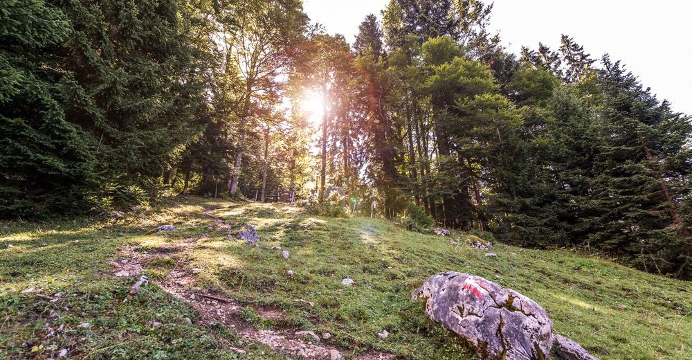
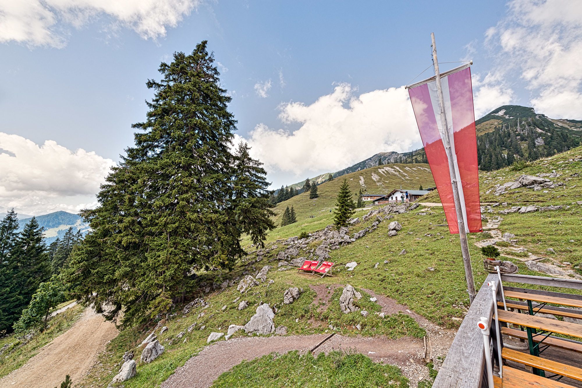
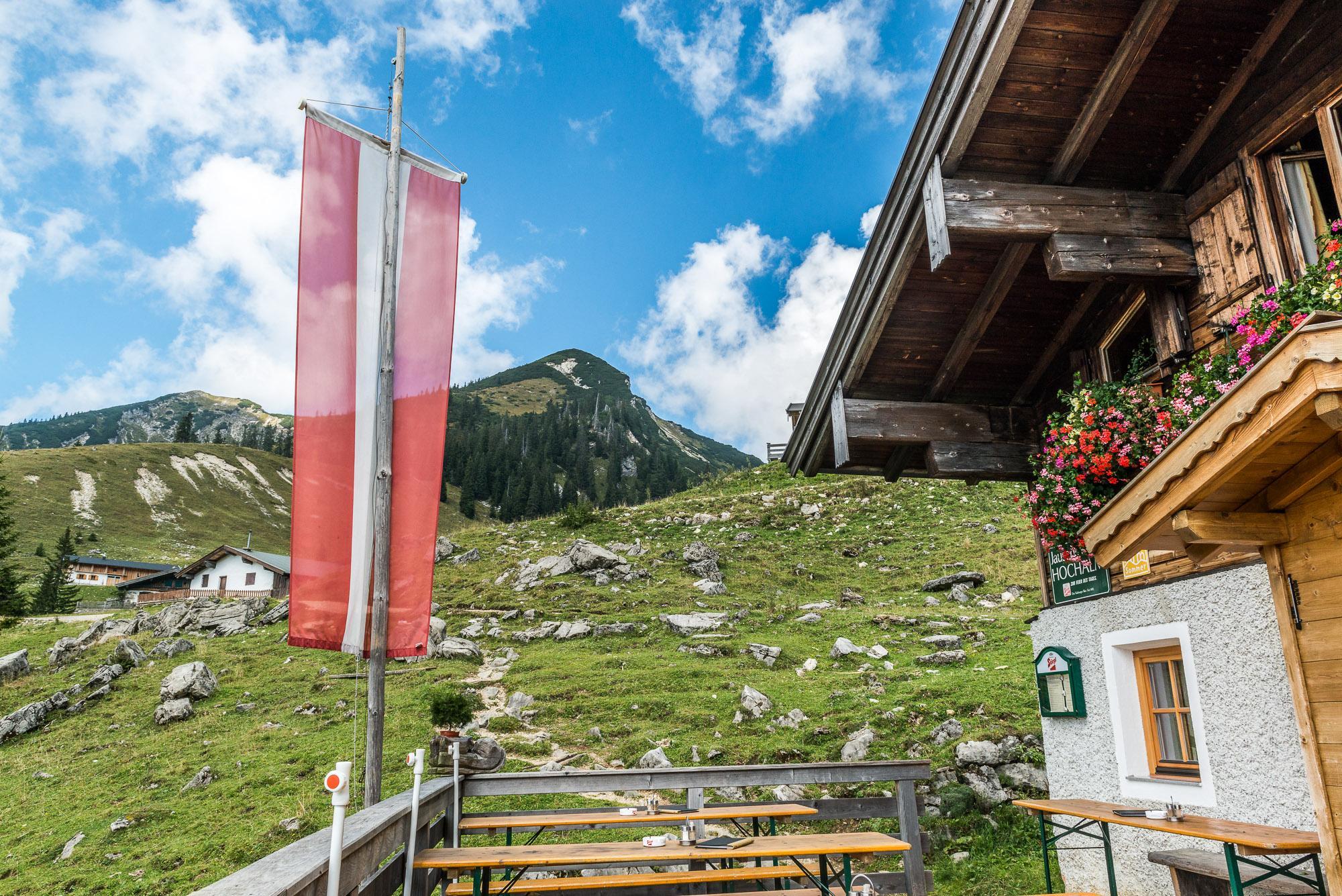
The shortest and easiest way to the summit is via the Hochalm in Salzburger Saalachtal Valley, which is run by the Vitzthum family. From there it is a somewhat steeper climb in serpentines up to the summit. At the top, you are directly on the border between Germany and Austria. From the summit, you can enjoy a magnificent panoramic view of Bavaria, Lake Chiemsee and the foothills of the Alps, the Wilder Kaiser in the west, the Hohe Tauern, Loferer and Leoganger Steinberge mountains and the Berchtesgaden Alps in the south and the city of Salzburg in the east.
You are seldom alone at the summit, but it is a real tour tip - not only on Sunday!
- Directions
-
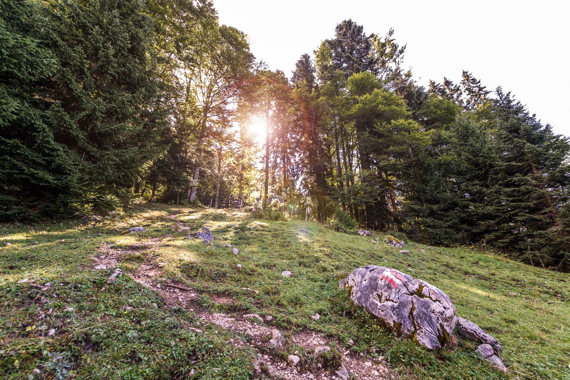
From the car park at Heutalbauer (trail no. 19), walk along the Lahnerbach stream into the valley. After crossing a forest road, you reach the Lochtrettalm and after a short forest section the Hochalm. Follow the road up to the last alpine huts until the moderately steep trail branches off to the left to the highest peak of the Chiemgau mountains, the Sonntagshorn.
Return via the same path or from the Hochalm along the Hochalm road via Gschwendter Alm to Guten Hirten. Here you then turn right (trail no.19a) via the Pichleralm back to the Heutal valley.
- Highest point
- 1,943 m
- Endpoint
-
Car park Heutalbauer
- Height profile
-

- Equipment
-
Clothing: Comfortable walking shoes, breathable clothing depending on the weather (T-shirt, light trousers).
Equipment: Small backpack, sunscreen, hat or cap, first aid kit, mobile phone.
Food: Sufficient water, snacks (energy bars, nuts, dried fruit).
Navigation aids: Map or hiking app, compass (optional).
Other: Light pocket knife or multitool, insect repellent (if needed).
As needed: rain jacket, sunglasses.
- Tips
-
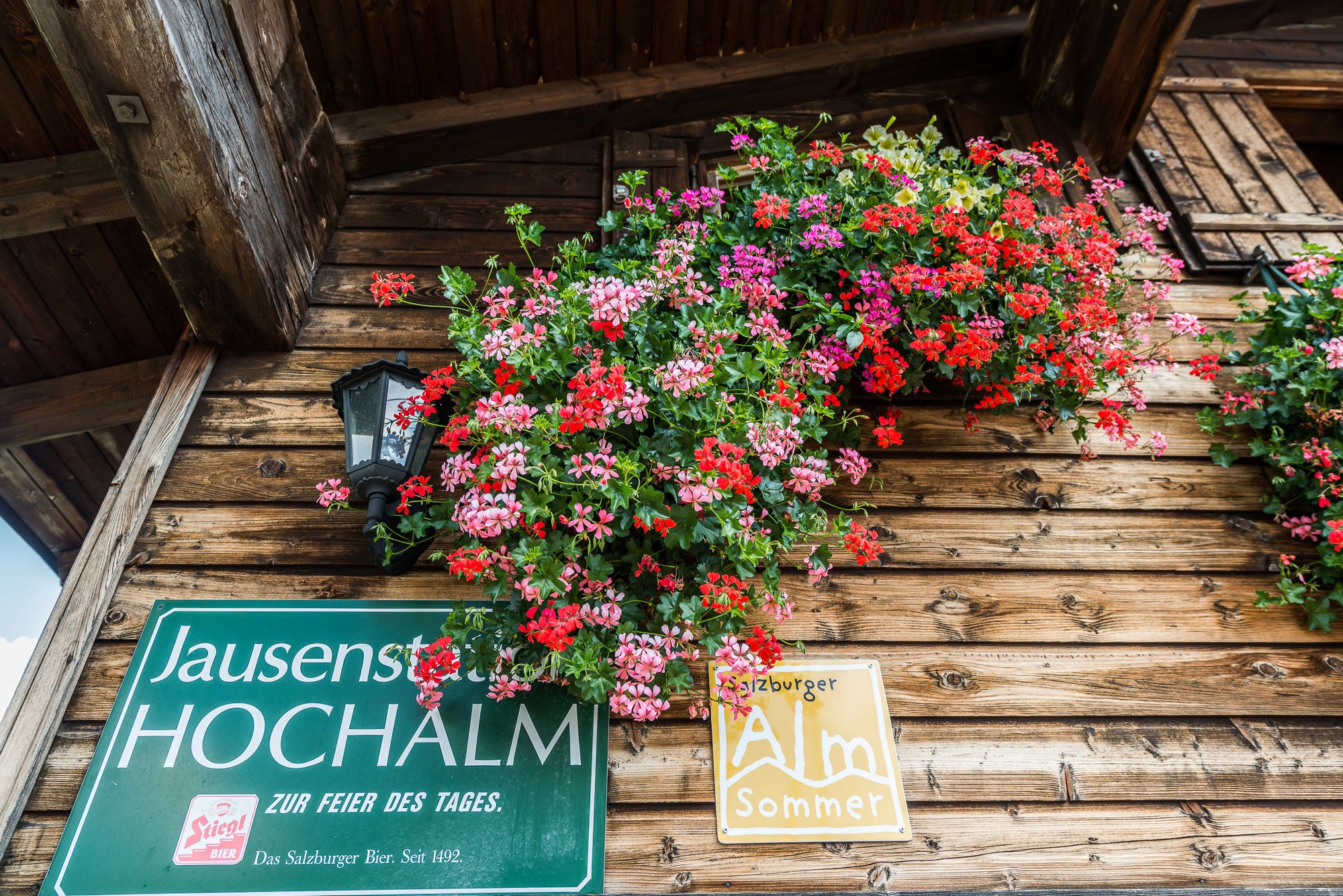
A visit to the Jausenstation Hochalm is always worthwhile.
- Additional information
- Directions
-
In Unken, turn right into Heutal and follow the road up to the top. Just before the Alpengasthof Heutal, turn onto the large hikers' car park (P2).
- Public transportation
- Parking
-
Car park at the Heutalbauer


-

-
AuthorThe tour From Heutal to the Sonntagshorn in Salzburger Saalachtal Valley is used by outdooractive.com provided.


General info
-
Salzburger Saalachtal
1827
-
Unken - Heutal
438