Hike from the Loferer Hochtal to the Schmidt-Zabierow-Hütte (1966m)


- Brief description
-
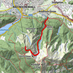
A scenic and challenging hike from Lofer in Salzburger Saalachtal Valley to the Schmidt-Zabierow Hut in the Loferer Steinberge mountains.
- Difficulty
-
medium
- Rating
-
- Starting point
-
Loferer Hochtal
- Route
-
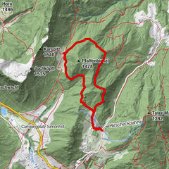
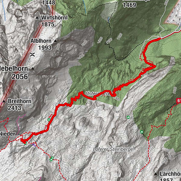
Erstes Wasser1.0 kmZweites Wasser1.9 kmKapplhöhle2.9 kmSchmidt-Zabierow Hütte3.7 kmNamenloses Loch3.8 kmWalter-Schweitzer-Biwak3.9 kmZweites Wasser5.7 kmErstes Wasser6.5 km
- Best season
-
JanFebMarAprMayJunJulAugSepOctNovDec
- Description
-
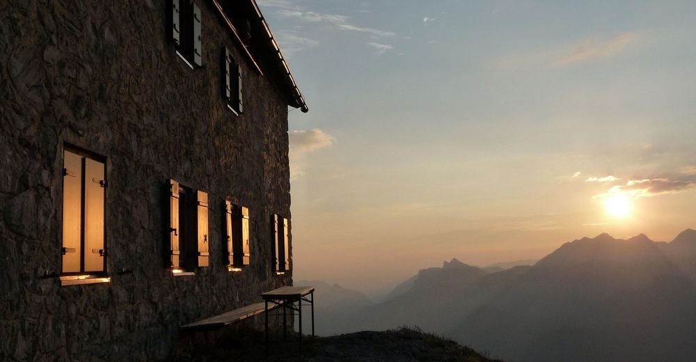
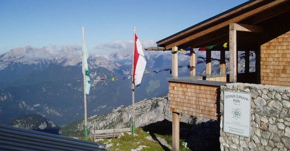
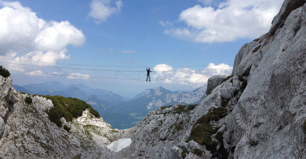
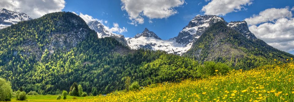
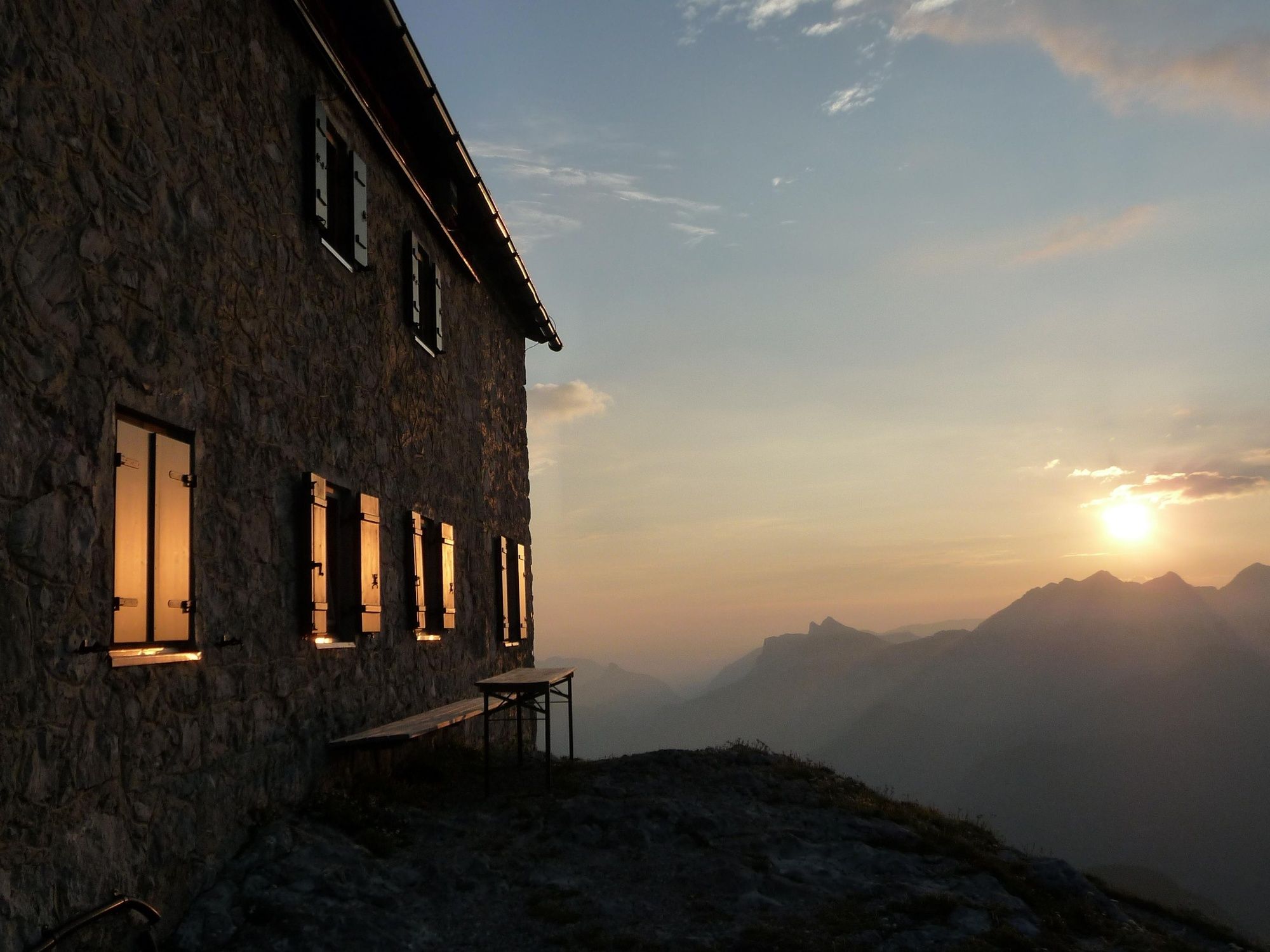
From the Loferer Hochtal valley at the foot of the Steinberge mountains, follow a well-marked mountain trail in serpentines first through forest and later over mountain meadows and scree to the Alpine Club refuge. The steep ascent is rewarded with magnificent views of the Lofer valley basin.
- Directions
-
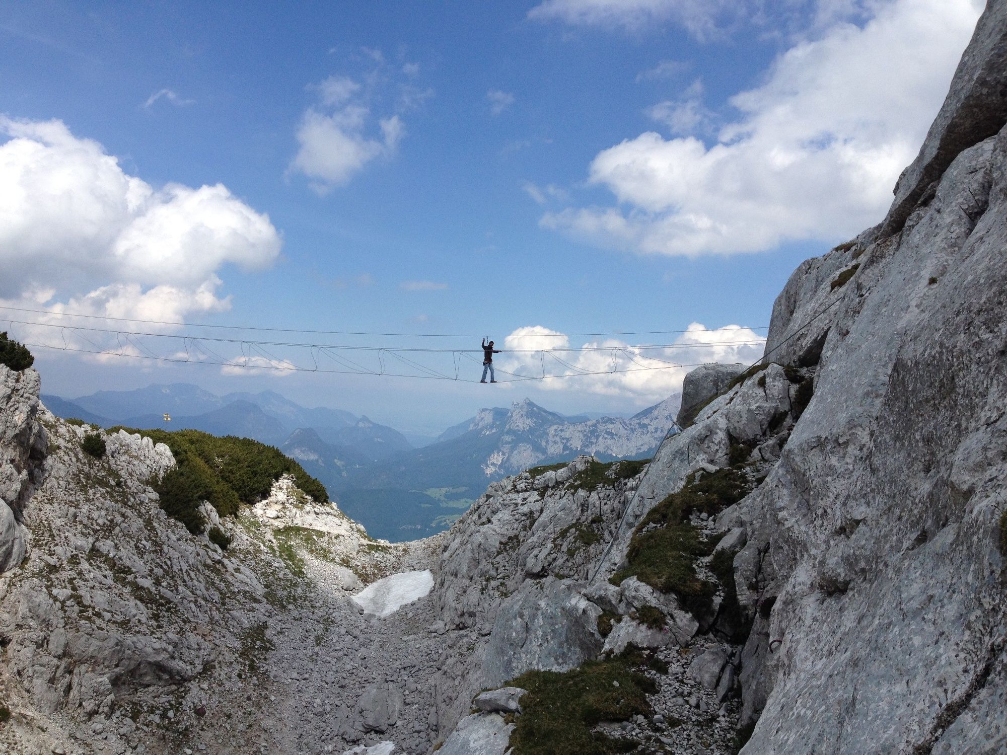
You start your ascent at around 800 m above sea level from the car park of the Loferer Hochtal in the Salzburger Saalachtal Valley. From here, take trail no. 601 into the beech forest. Climb steeply up to about 1400m and you will pass the last parts of the former Steinbergalm, which you pass and continue to climb up towards the hut. The path now becomes stonier and leads through the karst region in serpentines until a few hundred metres before the hut, which has long been visible perched on the rocky outcrop of the Gamskopf. From here you have two different options to reach your destination. Both options are very well signposted and about the same length.
The way back is via the same path.
- Highest point
- 1,952 m
- Endpoint
-
Loferer Hochtal
- Height profile
-

- Equipment
-
Clothing: Comfortable walking shoes, breathable clothing depending on the weather (T-shirt, light trousers).
Equipment: Small backpack, sunscreen, hat or cap, first aid kit, mobile phone.
Food: Sufficient water, snacks (energy bars, nuts, dried fruit).
Navigation aids: Map or hiking app, compass (optional).
Other: Light pocket knife or multitool, insect repellent (if needed).
As needed: rain jacket, sunglasses.
- Safety instructions
-
Especially in the spring months, residual snow fields can occur.
- Tips
-
Note the seasonal times of the Schmidt-Zabierow-Hütte.
In July, the alpine bush blossoms and transforms the mountain slopes into a sea of red colours.
- Additional information
- Directions
-
From Lofer, head west on the main road towards Waidring. Shortly after the tennis court, turn left up the road into the Loferer Hochtal. Shortly before the car park, a gravel road begins, which you follow to the end.
- Public transportation
- Parking
-
Hikers' car park at the end of the Loferer Hochtal valley

-

-
AuthorThe tour Hike from the Loferer Hochtal to the Schmidt-Zabierow-Hütte (1966m) is used by outdooractive.com provided.