

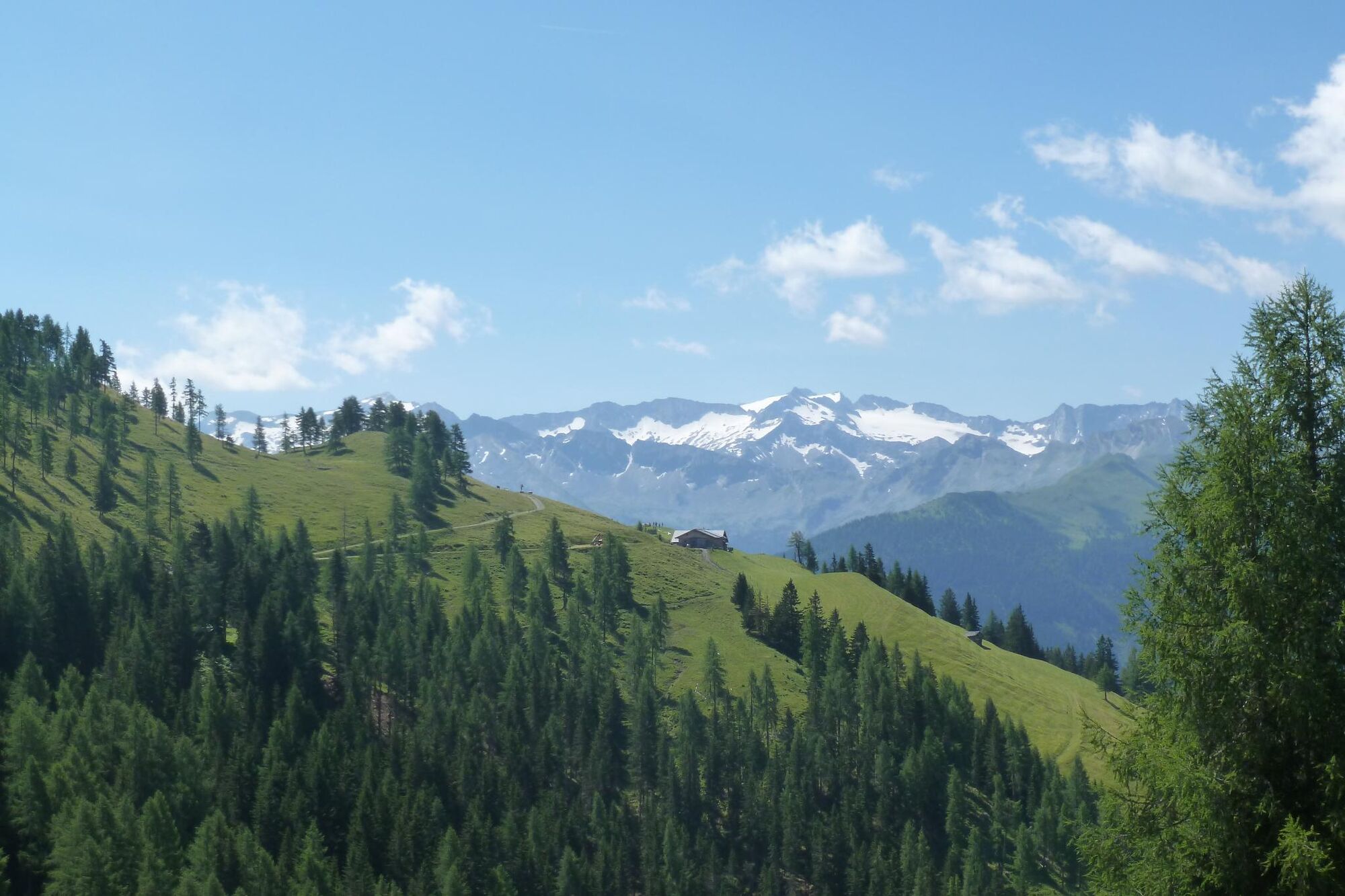
© Hotel Alpendorf - Aktivhotel Alpendorf

© Hotel Alpendorf - Aktivhotel Alpendorf

© Hotel Alpendorf - Aktivhotel Alpendorf

© Hotel Alpendorf - Aktivhotel Alpendorf

© Hotel Alpendorf - Aktivhotel Alpendorf

© Hotel Alpendorf - Aktivhotel Alpendorf

© Hotel Alpendorf - Aktivhotel Alpendorf

© Hotel Alpendorf - Aktivhotel Alpendorf

© Hotel Alpendorf - Aktivhotel Alpendorf

© Hotel Alpendorf **** ☀️

- Brief description
- Difficulty
-
medium
- Rating
-
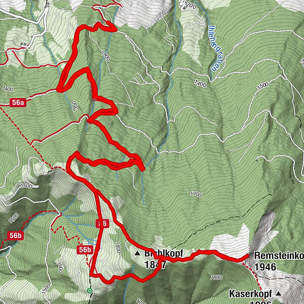
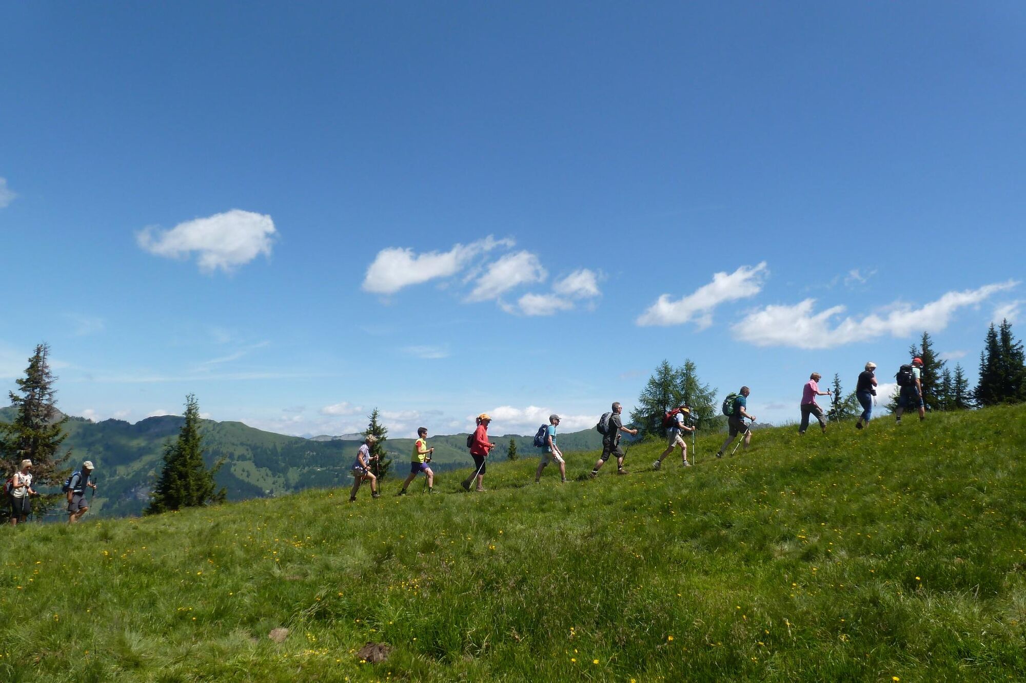
- Route
-
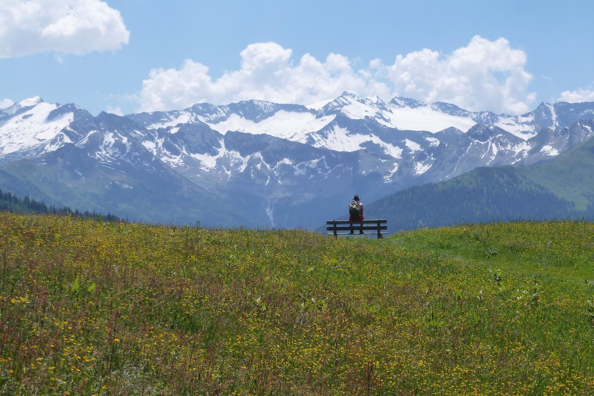
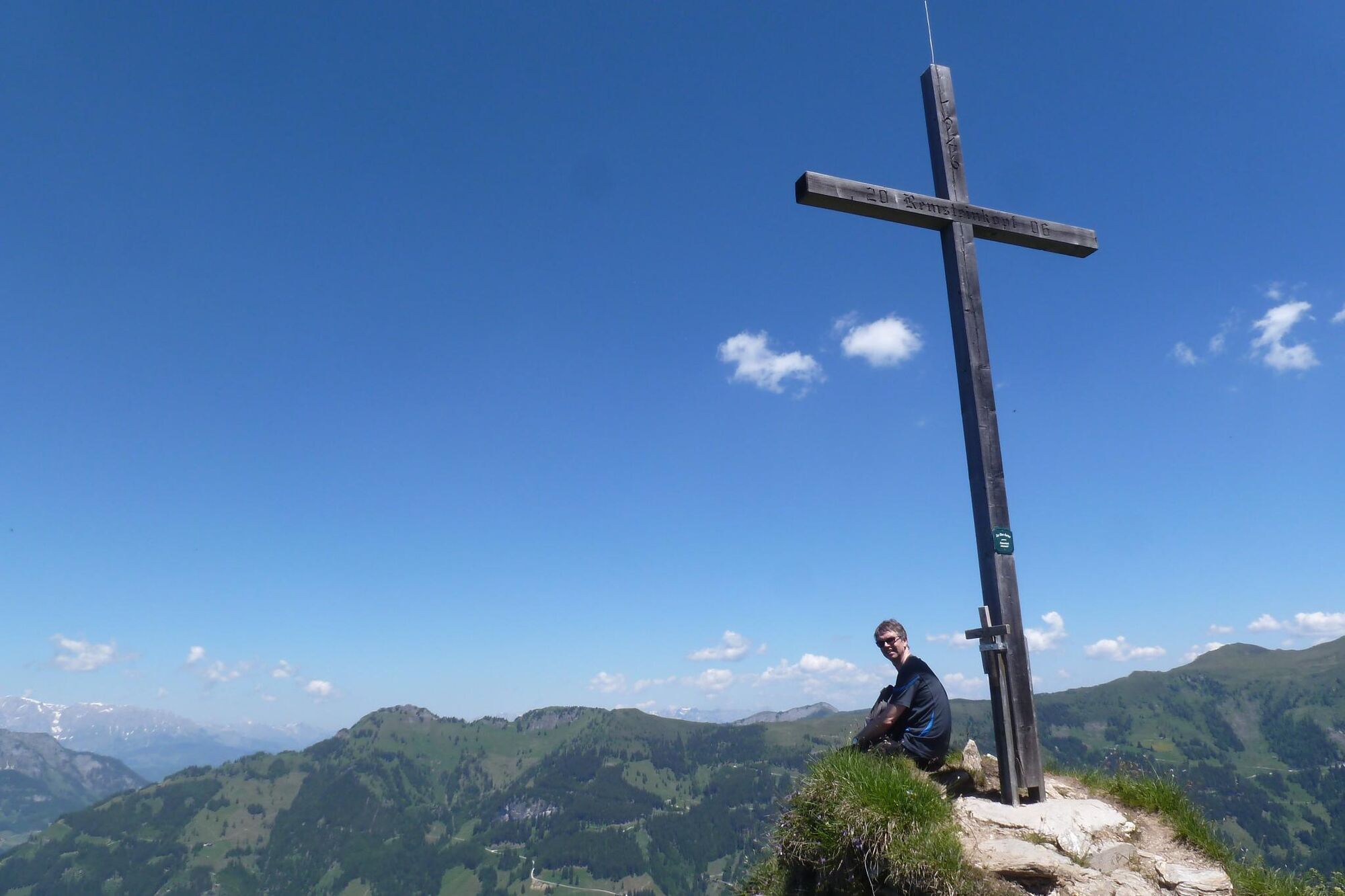
Remsteinkopf (1,946 m)5.8 kmBichlalm7.5 km
- Best season
-
JanFebMarAprMayJunJulAugSepOctNovDec
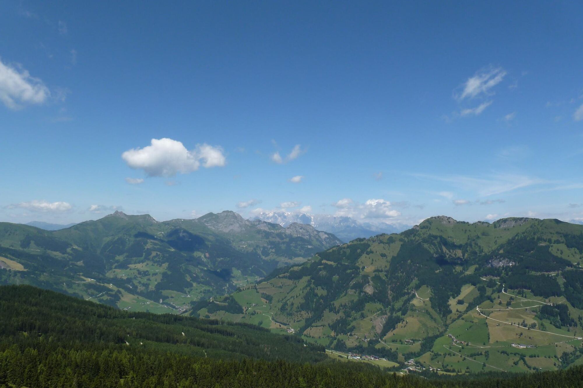
- Highest point
- 1,937 m
- Endpoint
-
Remsteinkopf
- Height profile
-

-

-
AuthorThe tour Gipfelwanderung zum Remsteinkopf is used by outdooractive.com provided.
GPS Downloads


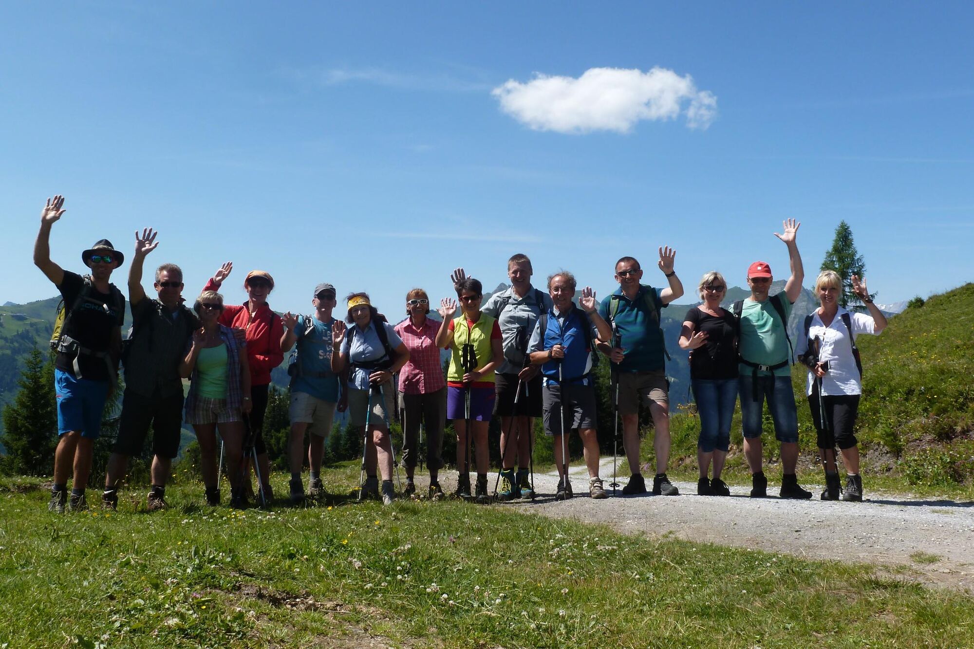
General info
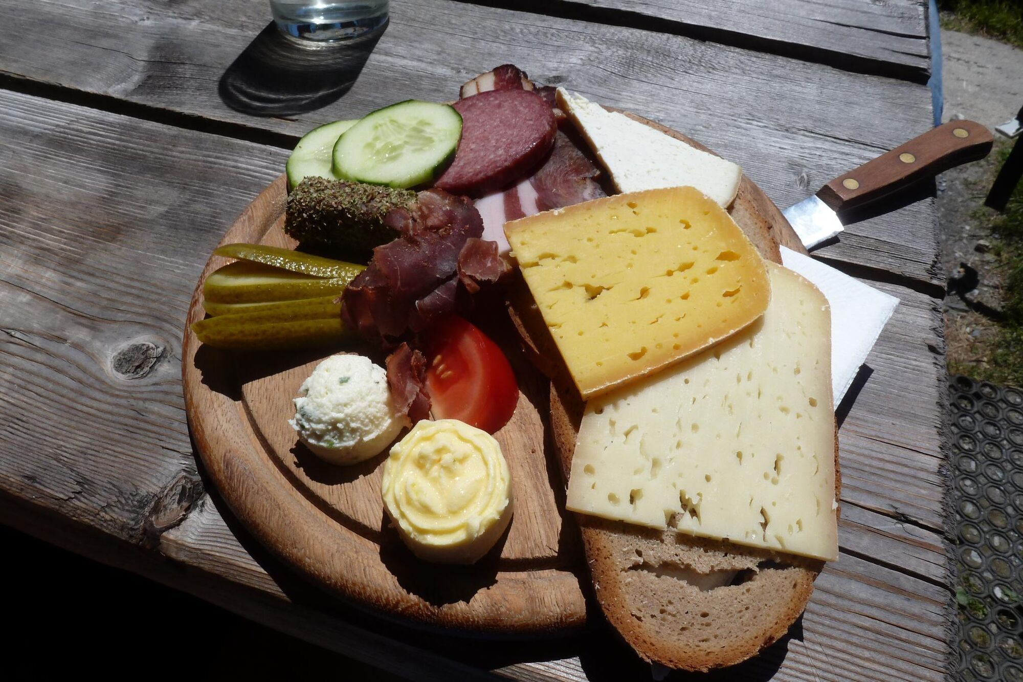
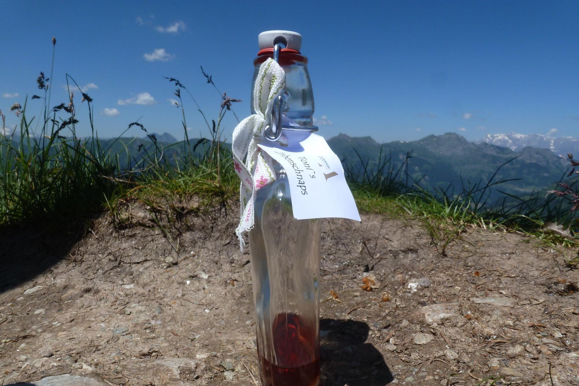
Refreshment stop
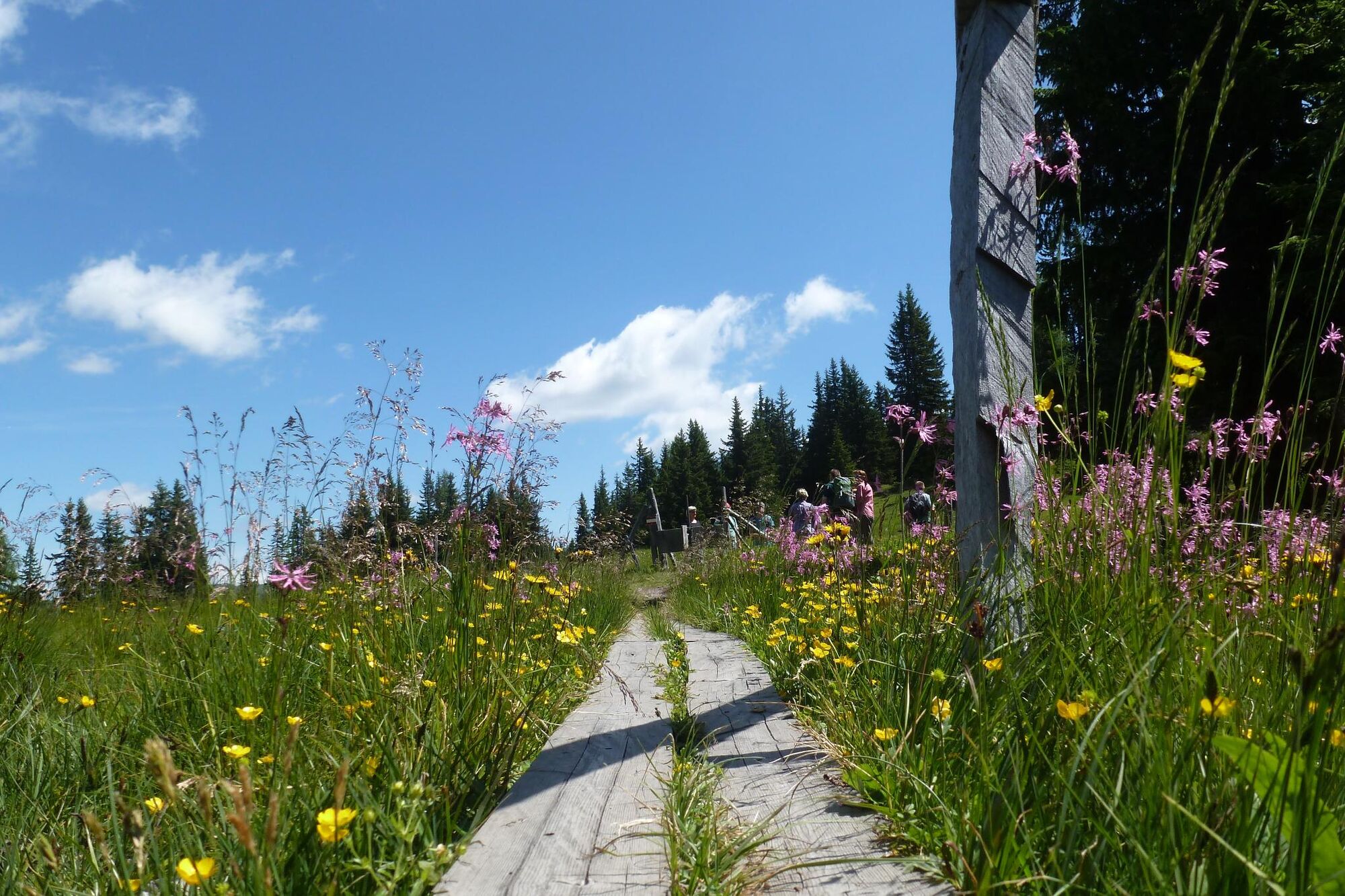
Fauna
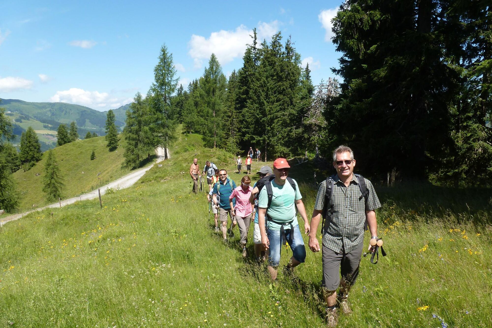
Other tours in the regions


