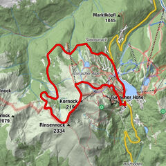
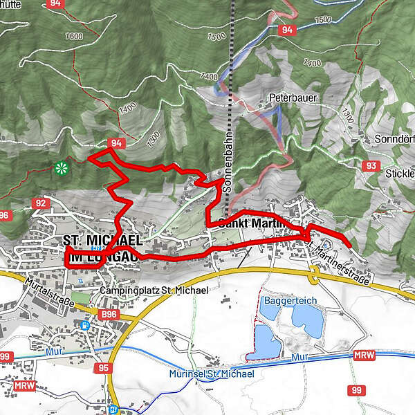
St.Michael-St.Martin

Logo St.Michael-St.Martin
Tour data
5km
1,057 - 1,266m
Distance
240hm
241hm
Ascent
-
 
Duration
Brief description

leichte Anfangswanderung

Difficulty
easy
Rating
Technique
Fitness
Landscape
Experience
Best season
Jan
Feb
Mar
Apr
May
Jun
Jul
Aug
Sep
Oct
Nov
Dec
Highest point
1,266 m

Overall rating

5

0

%

4

0

%

3

0

%

2

0

%

1

0

%

Error
An error has occurred. Please try again.
Thank you for your review

Rating has been deleted

GPS Downloads
  • GPX GPS Exchange Format (XML)
  • KML Google Earth, Google Maps
QR Download Codes for Mobile Phones

Trail conditions

Asphalt (70)
Gravel (5)
Meadow (25)
Forest
Rock
Exposed

Popular tours in the area

Rinsennock 2.334 m

medium Hiking
11.33km | 627hm | 02:50h

Tauernkarsee

easy Hiking
4.26km | 380hm | 02:00h

Großer Hafner 3076m

medium Hiking
17.3km | 1700hm | 06:30h

Mosermandl (2680m)

difficult Hiking
16.34km | 1442hm | 06:45h