

- Brief description
-
A hiking path with a long history – hike along the border between Austria and South Tyrol.
- Difficulty
-
difficult
- Rating
-
- Route
-
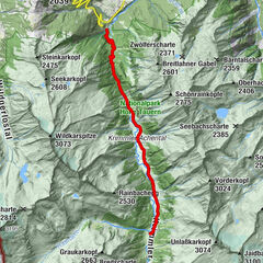
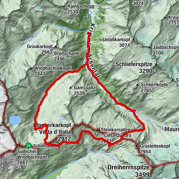
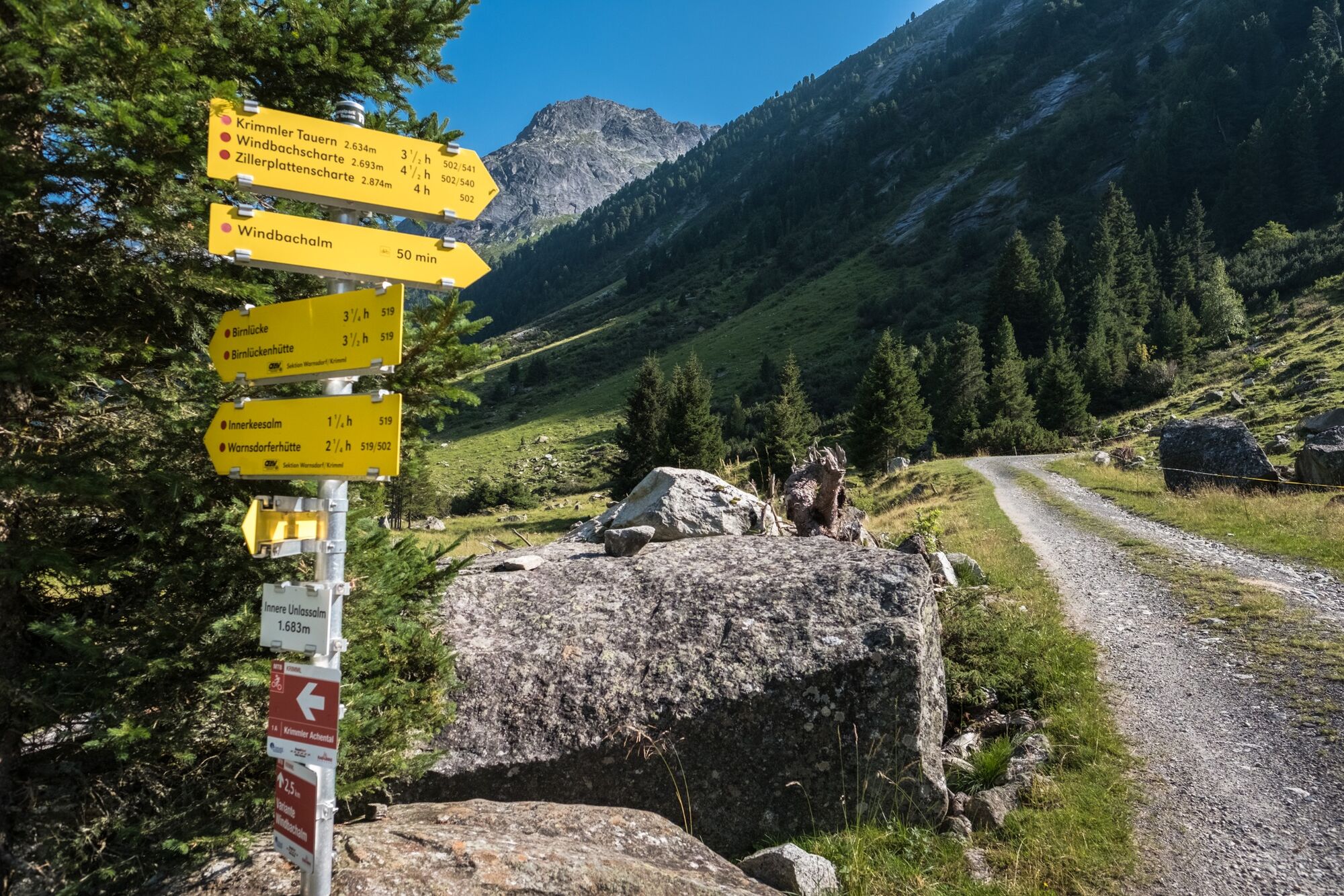
Krimmler Tauernhaus0.0 kmSommerlehenalm0.3 kmFoißgemäueralm0.9 kmHintereggalm1.1 kmKesserlalm1.3 kmAlbl1.6 kmAußerunlaßalm1.8 kmInnerunlaßalm3.0 kmJaidbachalm3.6 kmAußerkeesalm5.3 kmInnerkeesalm6.4 kmBirnlückenhütte (2,441 m)10.5 kmWindbachtal21.7 kmAußerunlaßalm24.3 km
- Best season
-
JanFebMarAprMayJunJulAugSepOctNovDec
- Description
-
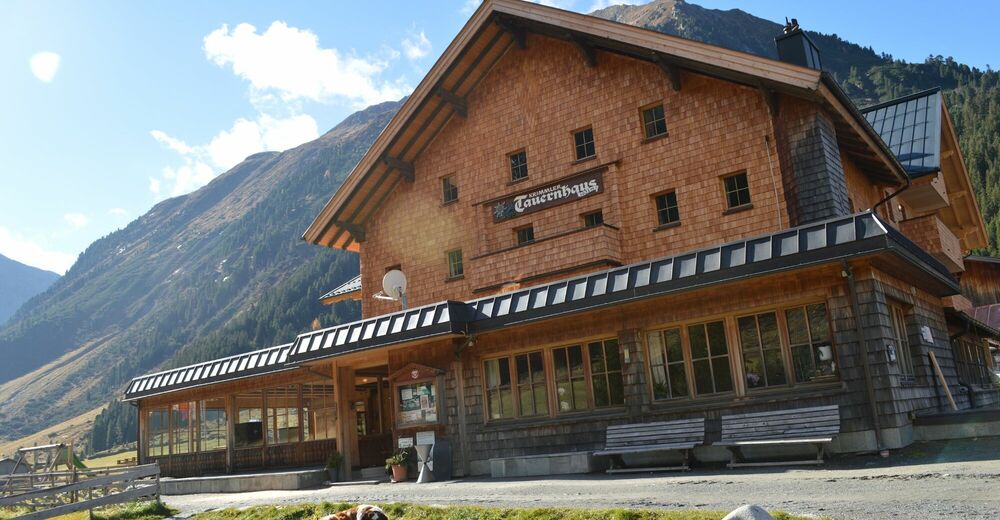
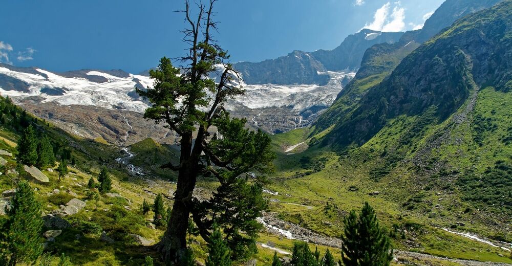
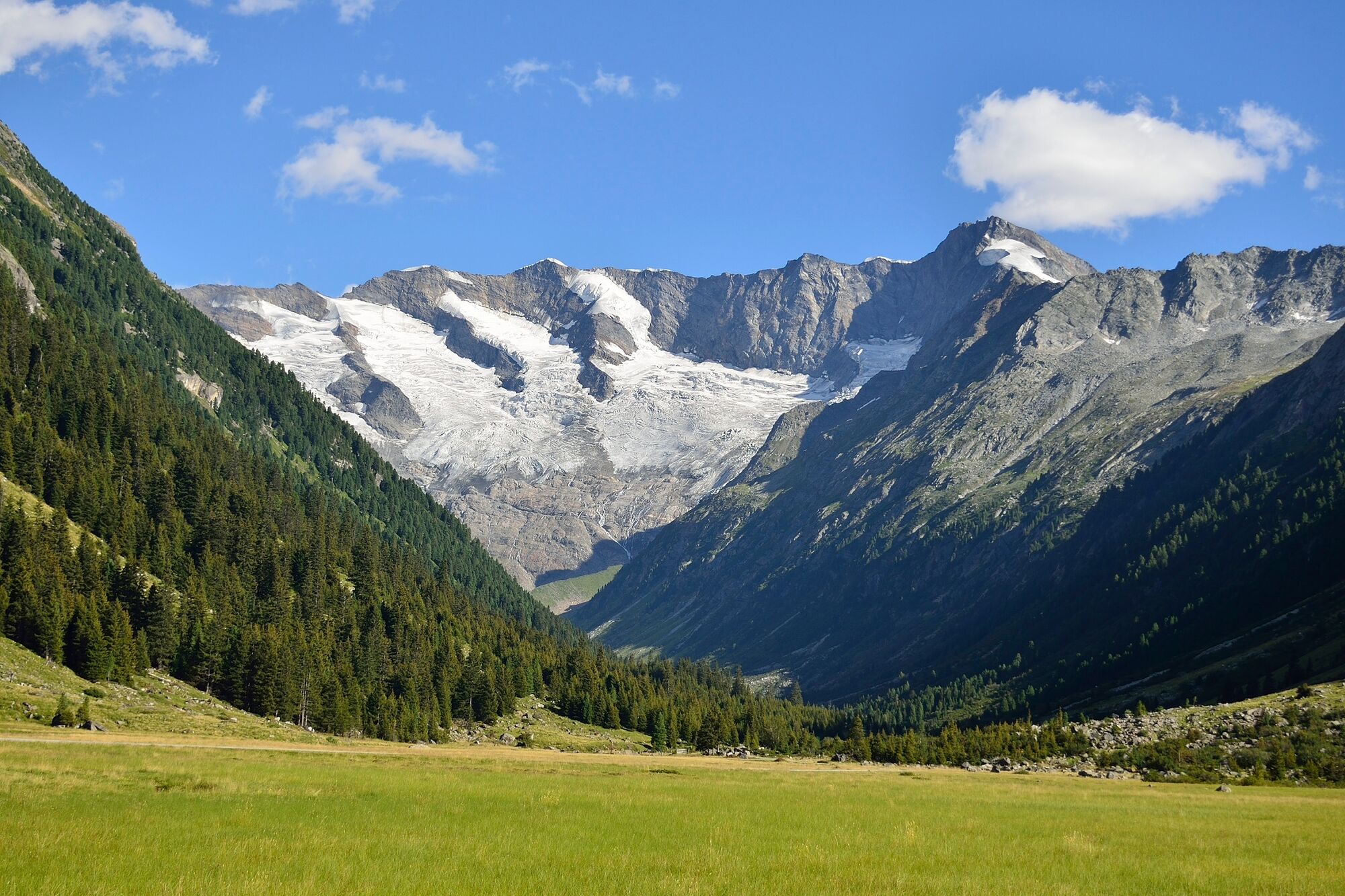
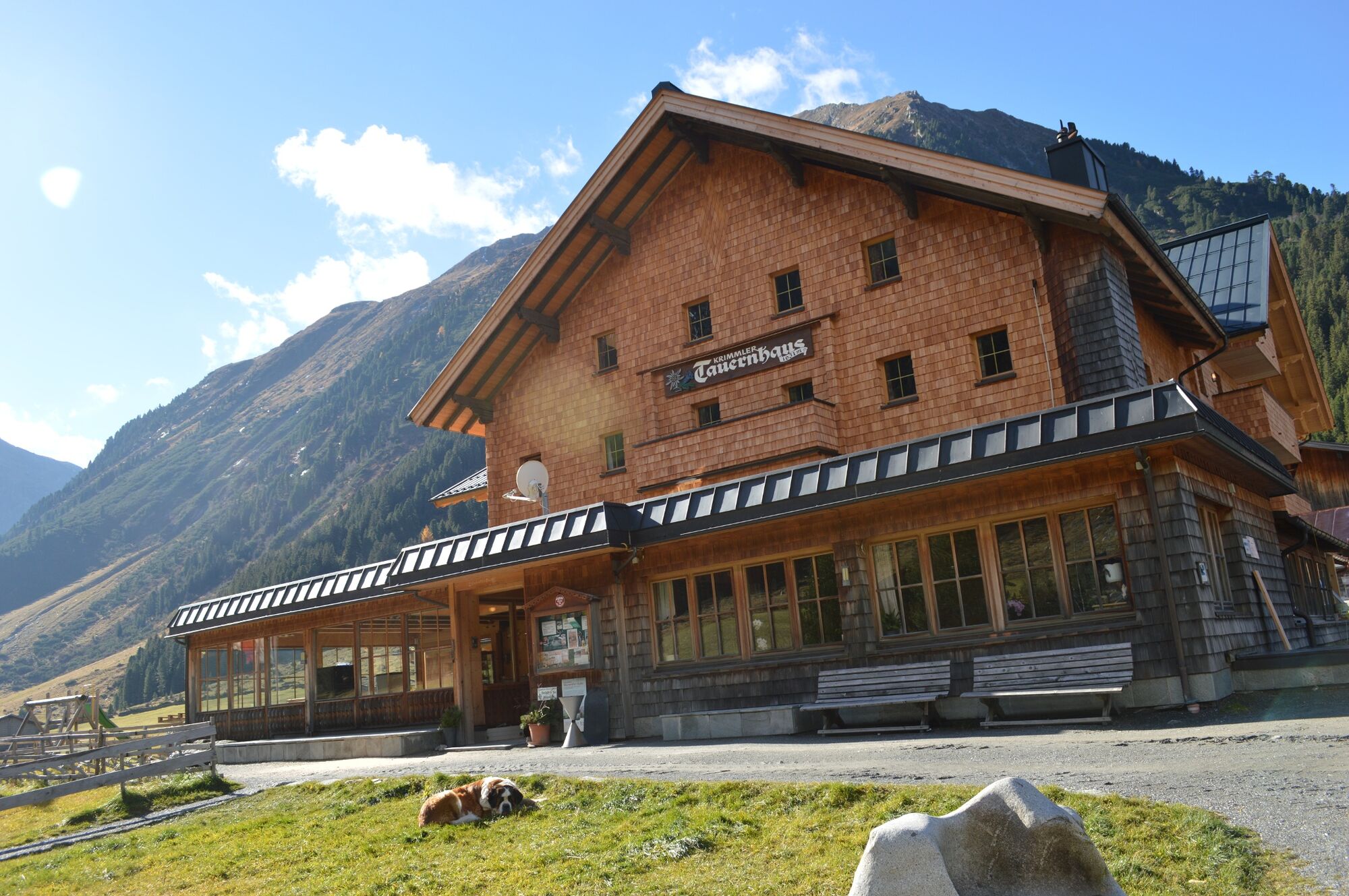
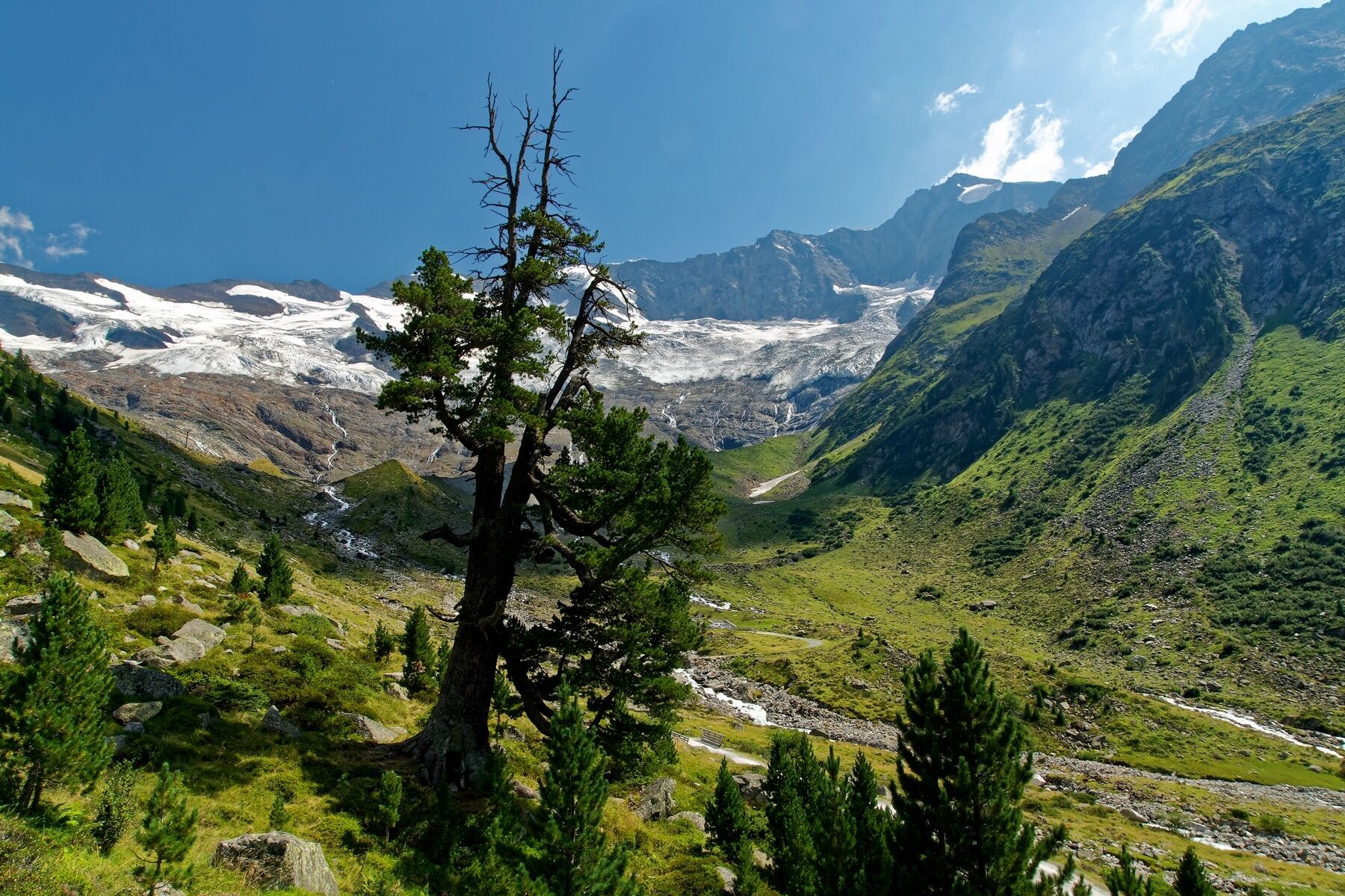
From the Krimmler Tauernhaus, you will walk as far as the valley head of the Krimmler Achental. This path will take you past a number of huts. Right next to the Innerkeesalm, the hiking path branches off to the right in the direction of the Birnlücke, crossing the Krimmler Ache close to the hut. Now, you will make your way up a series of steep switchbacks, then across the slopes of the Grasleiten to the Birnlücke. At this point, you come to the Austrian – Italian border. If you hike down the south side for about 45 minutes, you will come to the Birnlücken Hütte, which is an excellent stop-off point for refreshments. From here, you hike at roughly the same elevation along the Lausitzerweg heading west. On this particular stretch of path, you will come to a short stage that will require you to make your way down steep steps secured by cables – known as the Teufelsstiege (“Devil’s Stairway”). Shortly before the Krimmler Tauern, you will pass an Italian customs hut, known as the Neugersdorfer Hütte. After the Krimmler Tauern, you are in Austrian territory once again. From the Tauernleiten, you drop back down into Windbachtal. Close to the Ausserunlass Alm, you will once again meet up with the wide country lane, which in turn brings you back to the Tauernhaus.
- Directions
-
Nr.: 502, 519, 13, 541
Krimmler Tauernhaus - Achental - Birnlücke - Birnlücken Hütte (Südtirol) - Krimmler Tauern (Austria) - Windbachtal - Krimmler Tauernhaus
- Highest point
- 2,662 m
- Endpoint
-
Krimmler Tauernhaus
- Height profile
-

- Equipment
-
Sturdy hiking shoes, weatherproof clothing, a drinks bottle, hiking poles are recommended.
- Safety instructions
-
Mountain experience, endurance and surefootedness are a must!
- Tips
-
A transfer by National Park Taxi to the Krimmler Tauernhaus is possible, also to the freight lift at the Warnsdorfer Hütte (reservations required!).
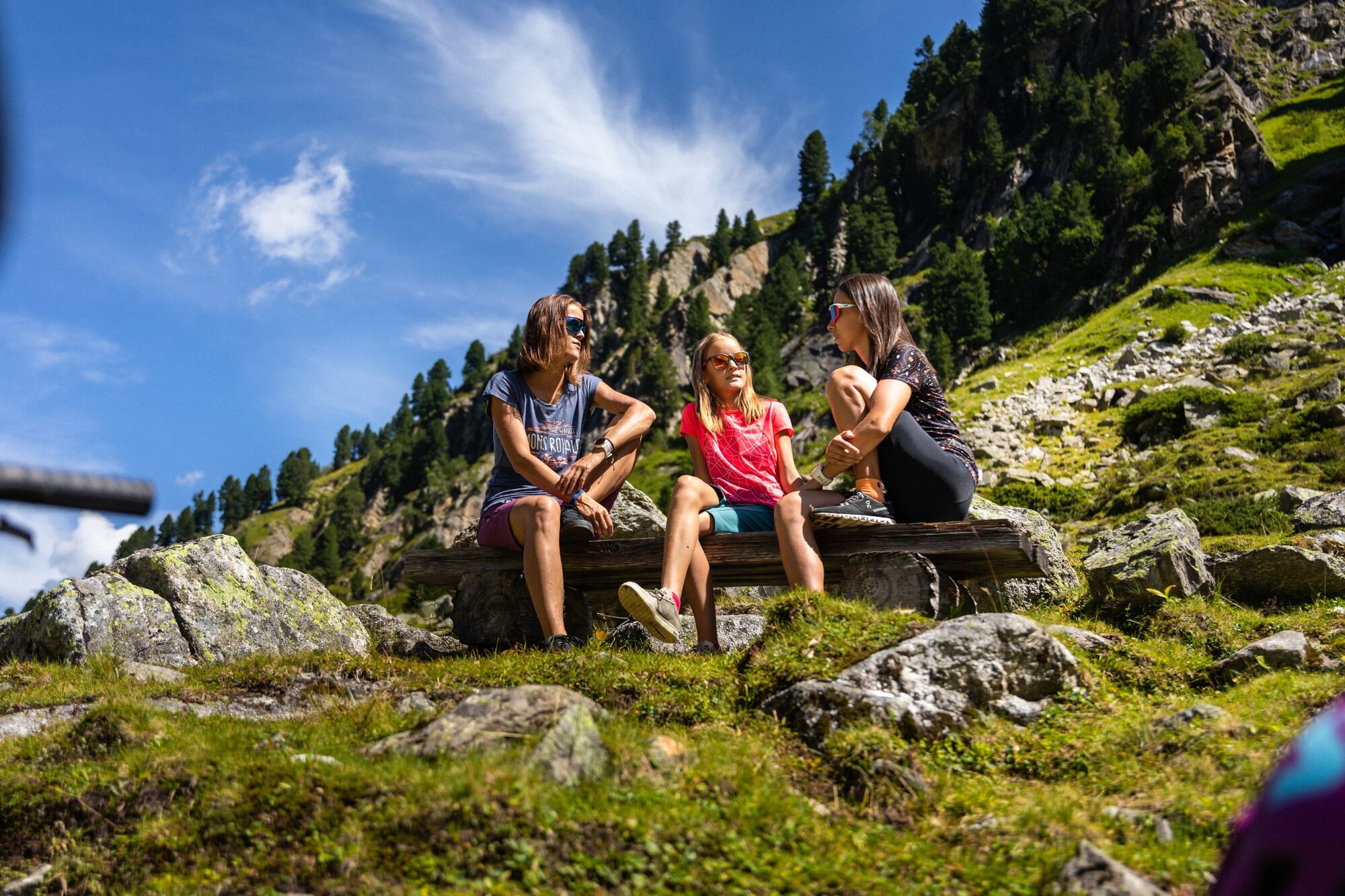
You can overnight at the Birnlücken Hütte.
- Additional information
-
Krimmler Tauernhaus: Tel.: +43 (0)664/2612174, www.krimmler-tauernhaus.at
Jaidbachalm: www.jaidbachalm.at
Birnlücken Hütte: Tel.: +39 (0)474654140, www.schutzhuetten.net/birnlueckenhuette
Tourism Information Krimml/Hochkrimml: Tel.: +43 (0)6564/7239-0, www.krimml.at
- Directions
-
If you are coming from Tyrol, use the Gerlos Alpenstrasse. Coming from the east, travel in on the B165 via Mittersill.
- Public transportation
-
By bus to the stops “Krimml Ort” or “Krimmler Wasserfälle”.
- Parking
-
A low-cost long-term parking is located in Krimml place.
- Author
-
The tour Krimmler Tauernhaus – Birnlücke – Krimmler Tauern (full tour) is used by outdooractive.com provided.