


- Brief description
-
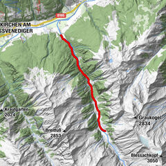
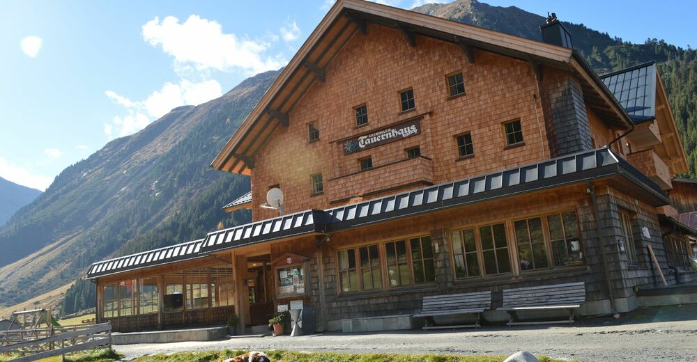
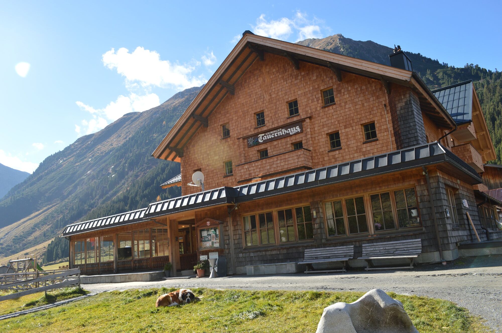
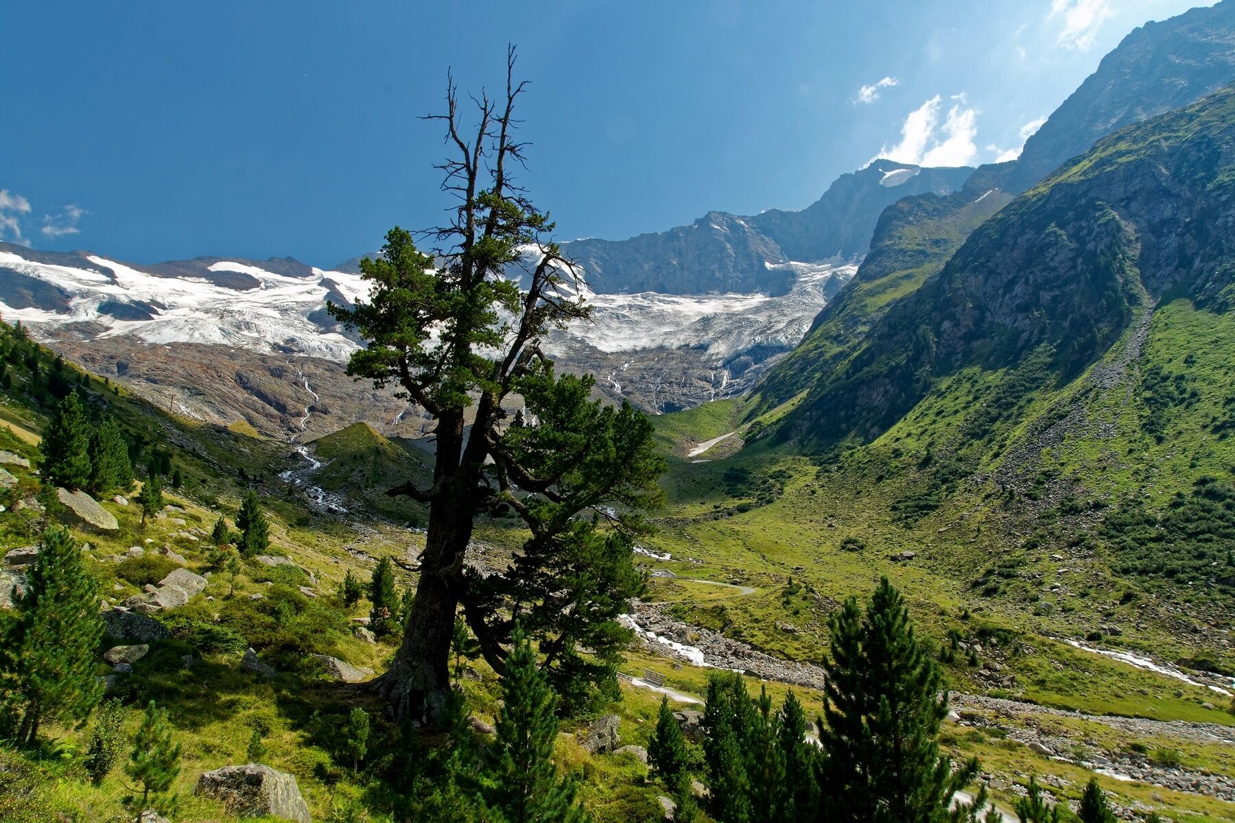
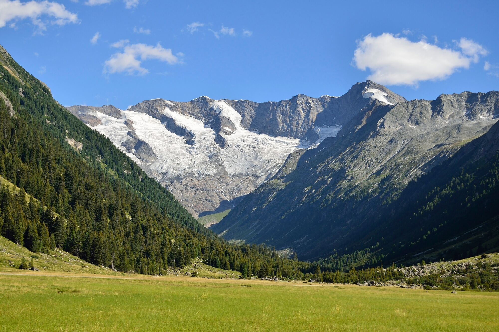
Departing from the historic Krimmler Tauernhaus, you will hike to the Richter Hütte, which is in the middle of the Reichenspitz Group.
- Difficulty
-
difficult
- Rating
-
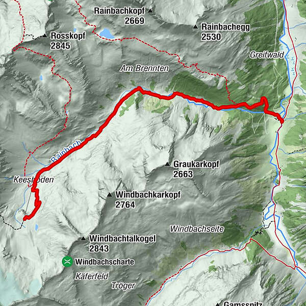
- Route
-
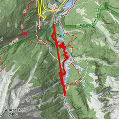
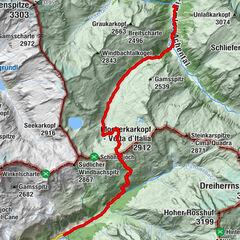
Krimmler Tauernhaus0.1 kmRainbachtal3.1 kmRichterhütte6.5 km
- Best season
-
JanFebMarAprMayJunJulAugSepOctNovDec
- Description
-
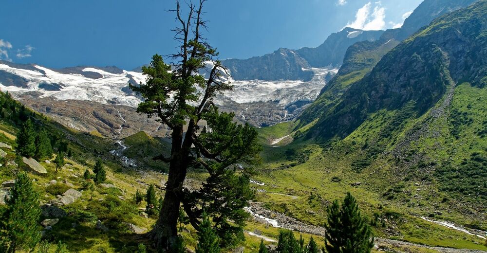
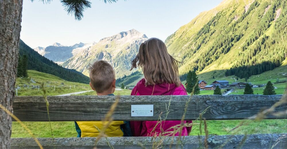
The tour starts at the approximately 600 years old traditional Krimml Tauernhaus at 1.631m in altitude in the high altitude Krimml Achen valley. Following hiking trail no. 512, you will walk past the gigantic Rainbach waterfall and head into the wonderful Rainbach valley. Enjoy the fantastic aroma of the many pine trees that line the path! Once you have reached Richter Hütte (2.374m) you will be rewarded for your exertions with a unique view of the imposing mountain landscape of the Hohe Tauern and the Reichenspitzgruppe mountains!
- Highest point
- 2,359 m
- Endpoint
-
Richter Hütte
- Height profile
-

- Equipment
-
Sturdy hiking shoes, weatherproof clothing, a drinks bottle, hiking poles are recommended.
- Tips
-
Taxi transfers are possible to the Krimmler Tauernhaus (reservations required).
- Directions
-
If you are coming from Tyrol, use the Gerlos Alpenstrasse. Coming from the east, travel in on the B165 via Mittersill.
- Public transportation
-
By bus to the stops “Krimml Ort” or “Krimmler Wasserfälle”.
- Parking
-
Clearly signposted car parks are located right next to the road. Parking fees are charged.


- Author
-
The tour Krimmler Tauernhaus - Richter Hütte is used by outdooractive.com provided.


General info
-
Zillertal Arena
1322
-
Kasern / Hl. Geist
71