© Aigner Robert
© Herr Neuschitzer
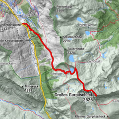
Tour data
3.1km
1,644
- 1,811m
268hm
268hm
02:30h

- Difficulty
-
easy
- Rating
-
- Starting point
-
Parkplatz hinter dem Gasthof Bacher.
- Route
-
Katschberg
- Best season
-
JanFebMarAprMayJunJulAugSepOctNovDec
- Highest point
- 1,811 m
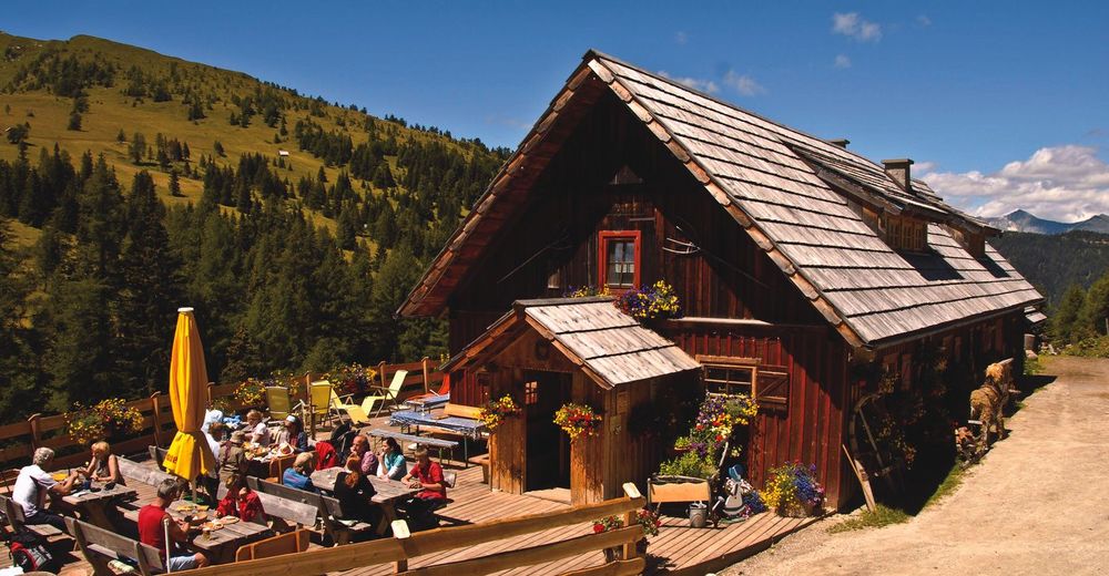
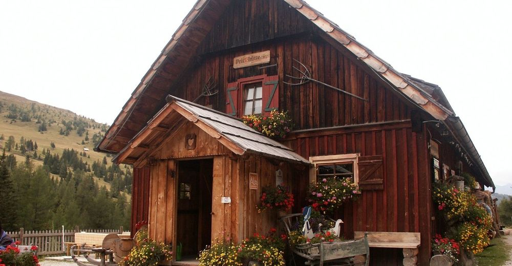
- Rest/Retreat
-
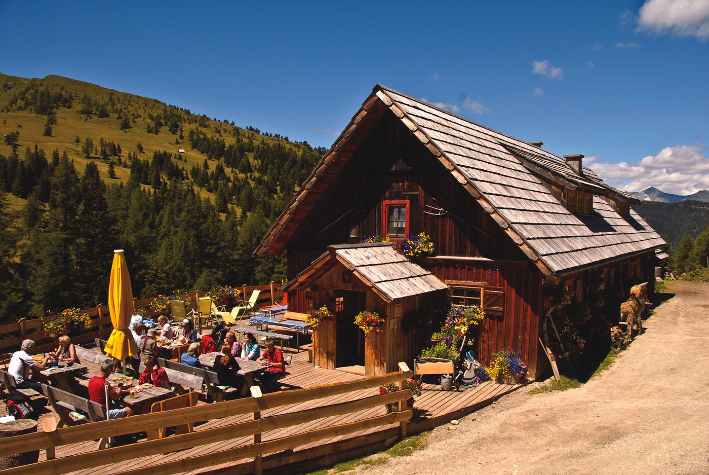
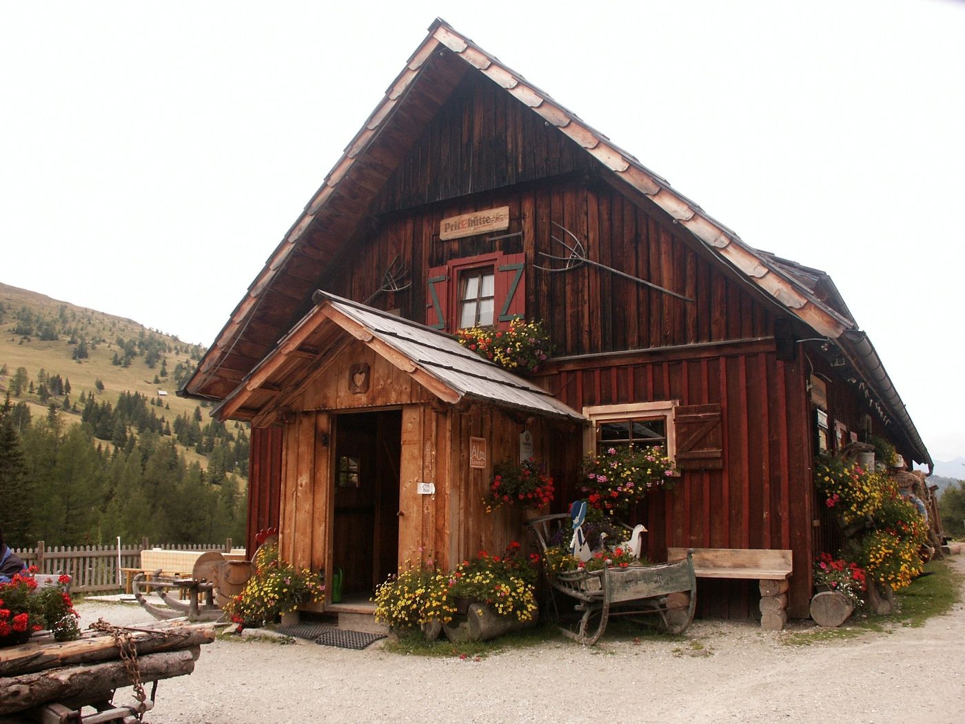
Gasthof Bacher, Pritzhütte
GPS Downloads


Trail conditions
Asphalt
Gravel
Meadow
Forest
Rock
Exposed
Other tours in the regions