Tonimörtlhütte (1.700 m)

Logo Tonimörtlhütte (1.700 m)
Tour data
4.08km
1,277 - 1,708m
Distance
388hm
388hm
Ascent
04:00h
 
Duration
Difficulty
easy
Rating
Technique
Fitness
Landscape
Experience
Starting point

Parkplatz Abzweigung Znachtal

Route
Hinterlahn
0.1 km
Untere Raderhütte
0.5 km
Granglerhütte
1.4 km
Wasserfall Ulnhütten
2.3 km
Tonimörtlhütte
3.8 km


Best season
Jan
Feb
Mar
Apr
May
Jun
Jul
Aug
Sep
Oct
Nov
Dec
Highest point
1,708 m

Rest/Retreat

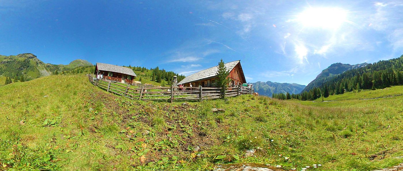
Granglerhütte, Tonimörtlhütte


Overall rating

5

0

%

4

0

%

3

0

%

2

0

%

1

0

%

Error
An error has occurred. Please try again.
Thank you for your review

Rating has been deleted

GPS Downloads
  • GPX GPS Exchange Format (XML)
  • KML Google Earth, Google Maps
QR Download Codes for Mobile Phones

Trail conditions

Asphalt
Gravel
Meadow
Forest
Rock
Exposed
Other tours in the regions

Popular tours in the area

Steirische and Lungauer Kalkspitze summits via Kranzl

difficult Hiking
10.91km | 926hm | 05:10h

Tauernkarsee

easy Hiking
4.26km | 380hm | 02:00h

Großes Gurpitscheck

difficult Hiking
11.76km | 863hm | 04:45h

Faulkogel

difficult Hiking
15.9km | 1490hm | 06:24h