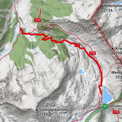
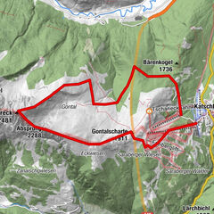
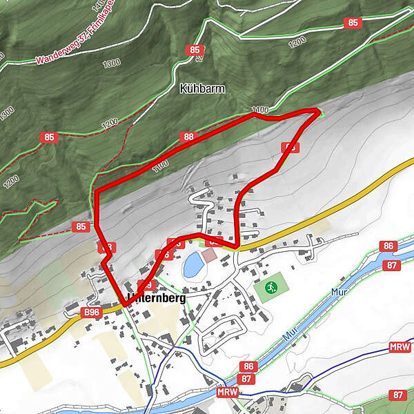
Himmelsteig Rundweg

Logo Himmelsteig Rundweg
Tour data
2.15km
1,023 - 1,108m
Distance
84hm
77hm
Ascent
00:32h
 
Duration
Difficulty
easy
Rating
Technique
Fitness
Landscape
Experience
Starting point

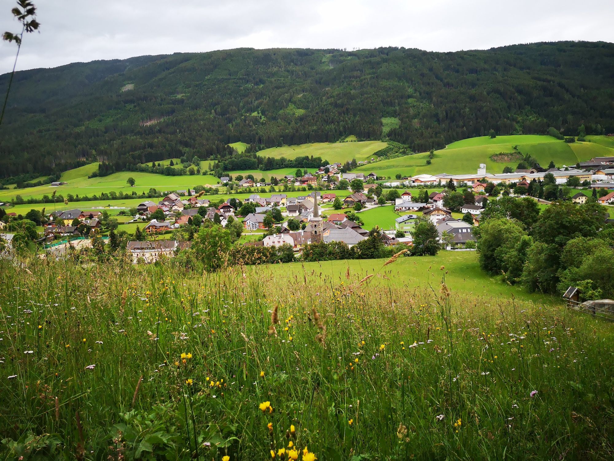
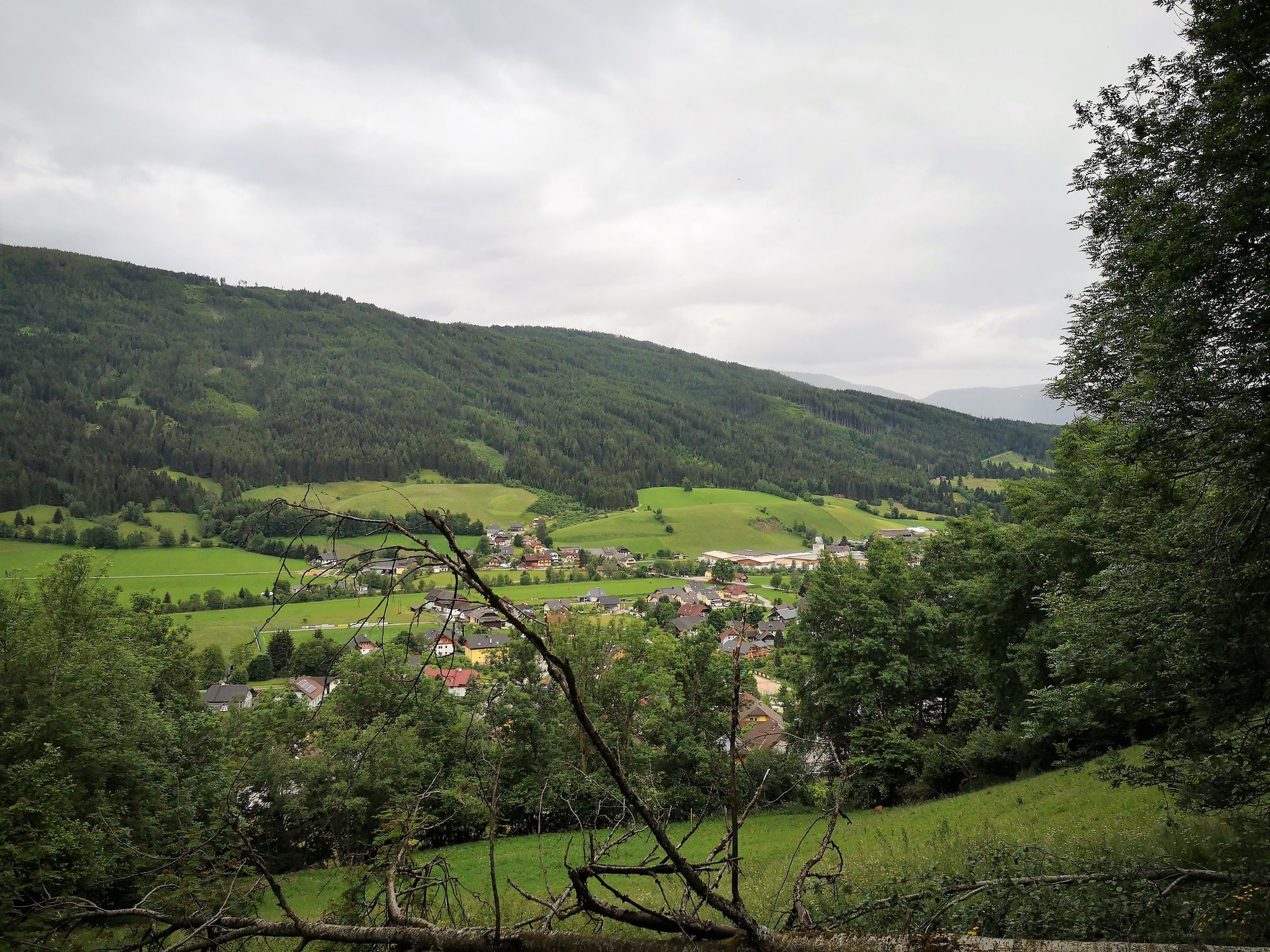
Infostelle Unternberg
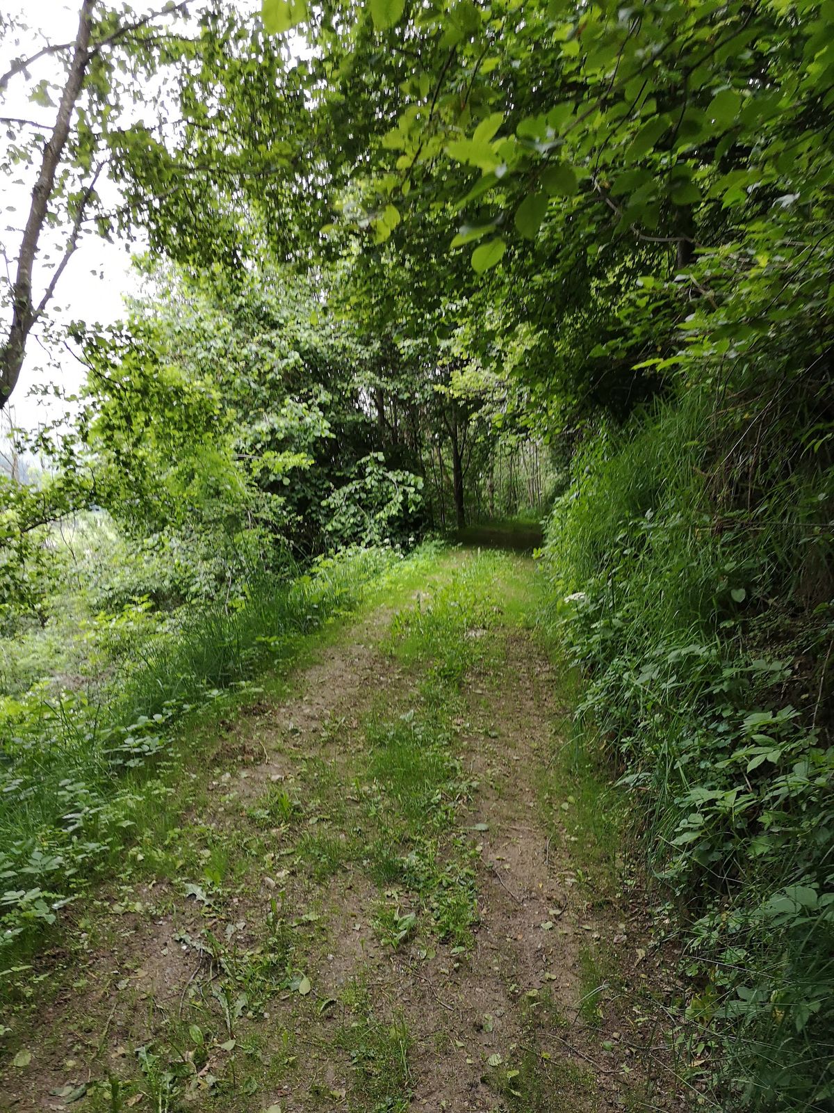
Route
Unternberg
Gasthaus Gfrerer
1.9 km
Pfarrkirche hl. Ulrich
2.0 km


Highest point
1,108 m

Overall rating

5

0

%

4

0

%

3

0

%

2

0

%

1

0

%

Error
An error has occurred. Please try again.
Thank you for your review

Rating has been deleted

GPS Downloads
  • GPX GPS Exchange Format (XML)
  • KML Google Earth, Google Maps
QR Download Codes for Mobile Phones

Popular tours in the area

From the Vögeialm to the Oberhüttensee

easy Hiking
3.13km | 465hm | 01:30h

Großes Gurpitscheck

difficult Hiking
11.76km | 863hm | 04:45h

Steirische and Lungauer Kalkspitze summits via Kranzl

difficult Hiking
10.91km | 926hm | 05:10h

Kareck

medium Hiking
11.1km | 847hm | 04:00h