


- Brief description
-
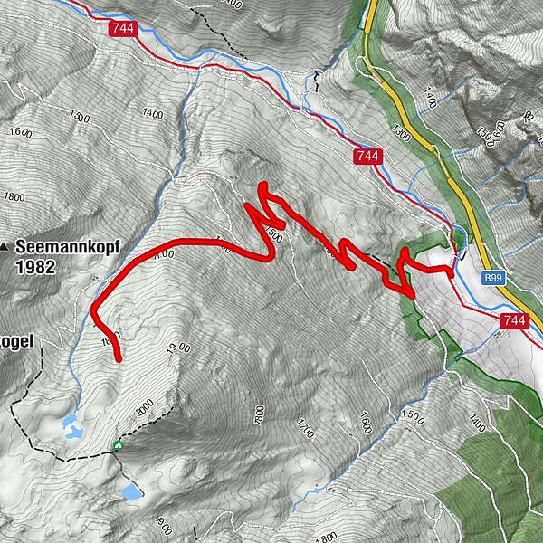
Twenger Lantschfeld - Treberlingspitze
- Difficulty
-
medium
- Rating
-
- Best season
-
JanFebMarAprMayJunJulAugSepOctNovDec
- Highest point
- 1,833 m
- Endpoint
-
Twenger Lantschfeld
- Height profile
-


-

-
AuthorThe tour Treberlingspitze is used by outdooractive.com provided.
GPS Downloads


General info
Refreshment stop
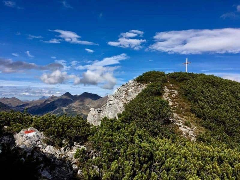
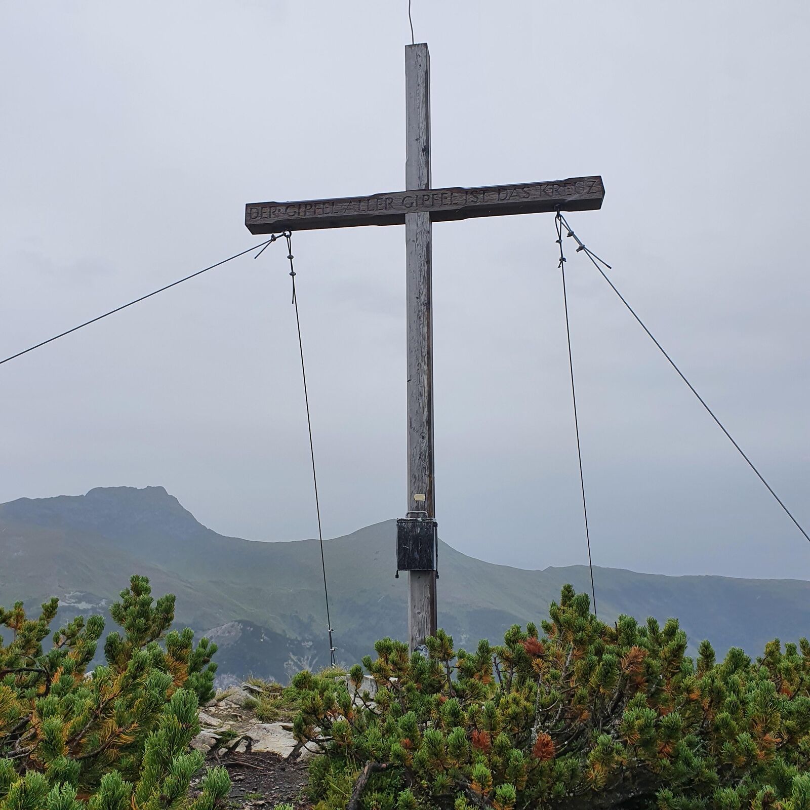
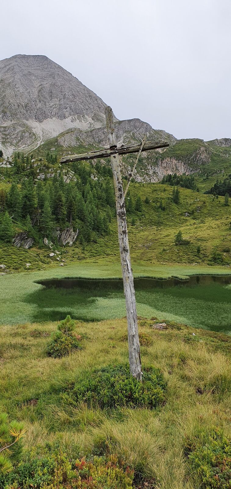
A lot of view
Other tours in the regions
-
Katschberg Lieser-Maltatal
2555
-
Obertauern
1643
-
Tweng
308


