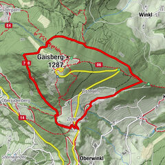
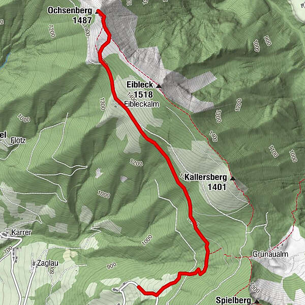
Tour data
3.3km
1,013
- 1,449m
446hm
03:30h
- Brief description
-
Ruhige Tour ohne besondere Anforderungen
- Difficulty
-
easy
- Rating
-
- Starting point
-
Parkplatz an der Mautstelle
- Route
-
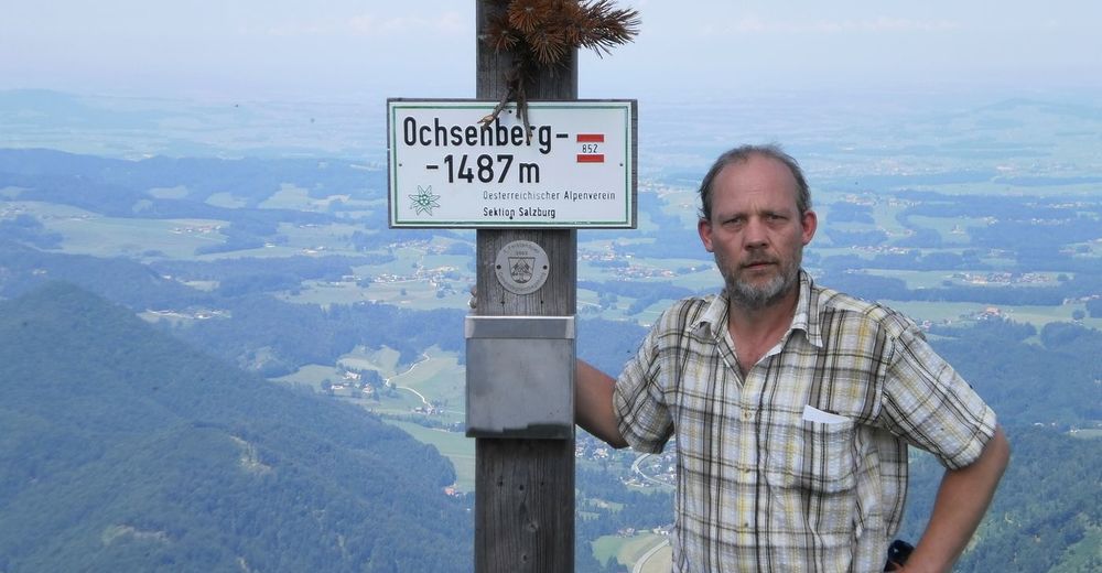
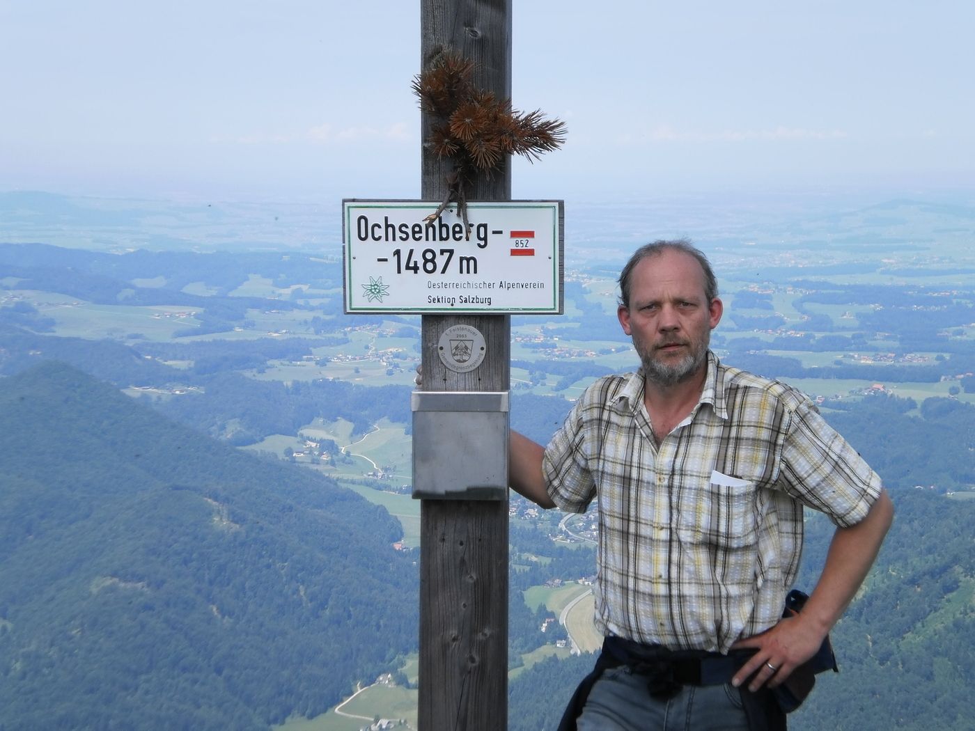
Ochsenberg (1,483 m)3.3 km
- Best season
-
JanFebMarAprMayJunJulAugSepOctNovDec
- Highest point
- 1,449 m
- Rest/Retreat
-
auf dieser Tour gibt es keine Einkehr Möglichkeit.
GPS Downloads


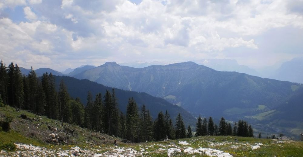
Trail conditions
Asphalt
Gravel
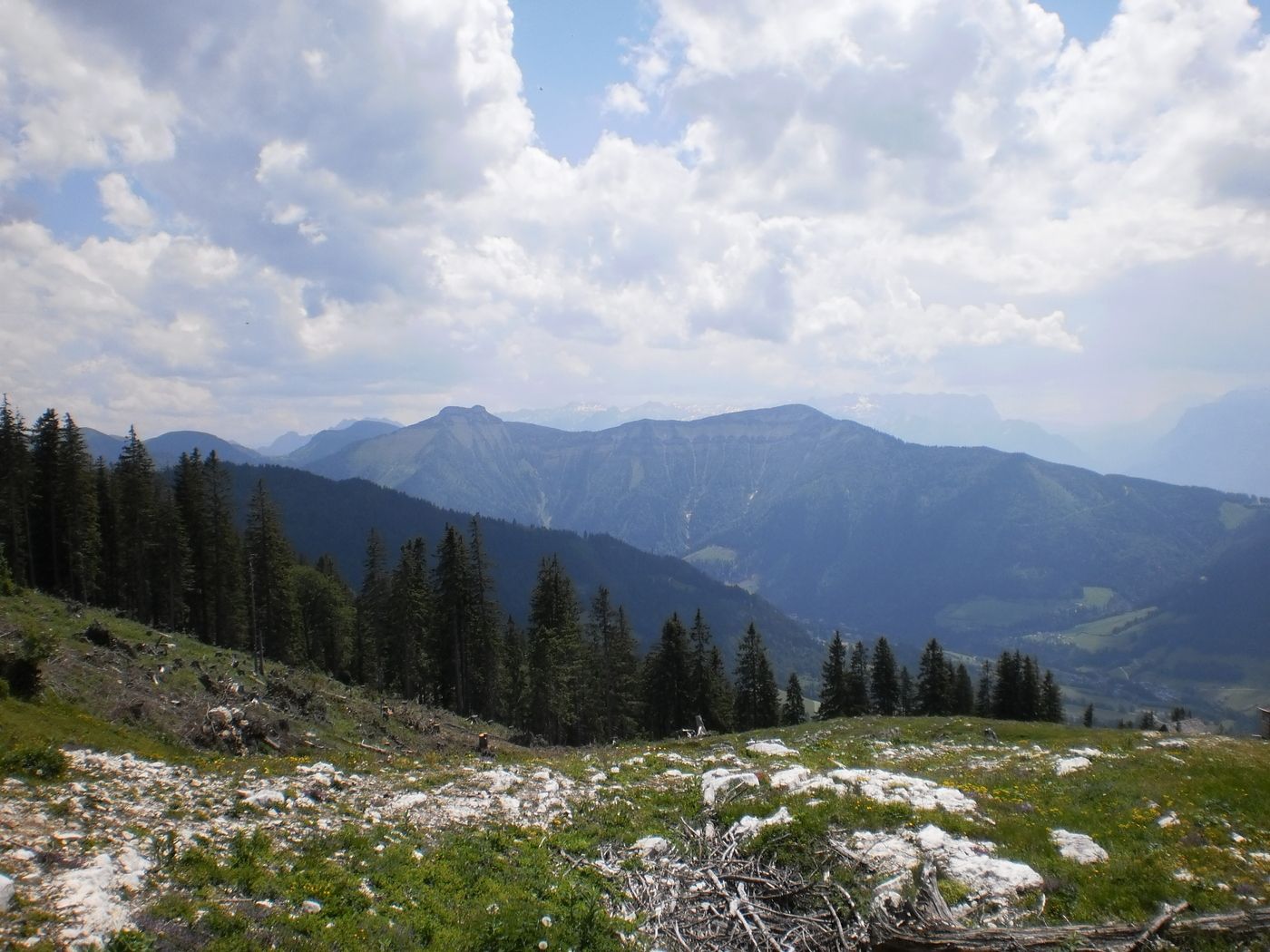
Meadow
Forest
Rock
Exposed
Other tours in the regions