- Brief description
-
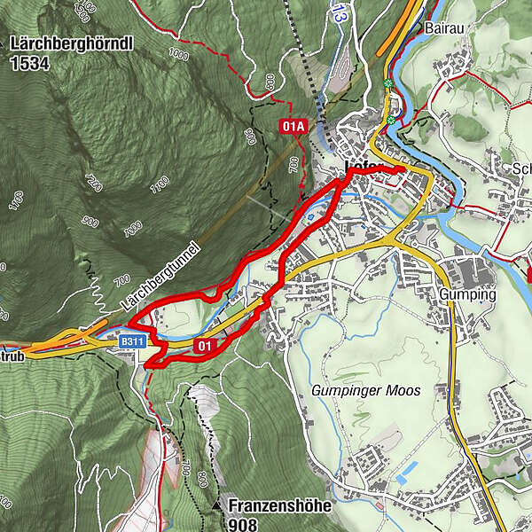
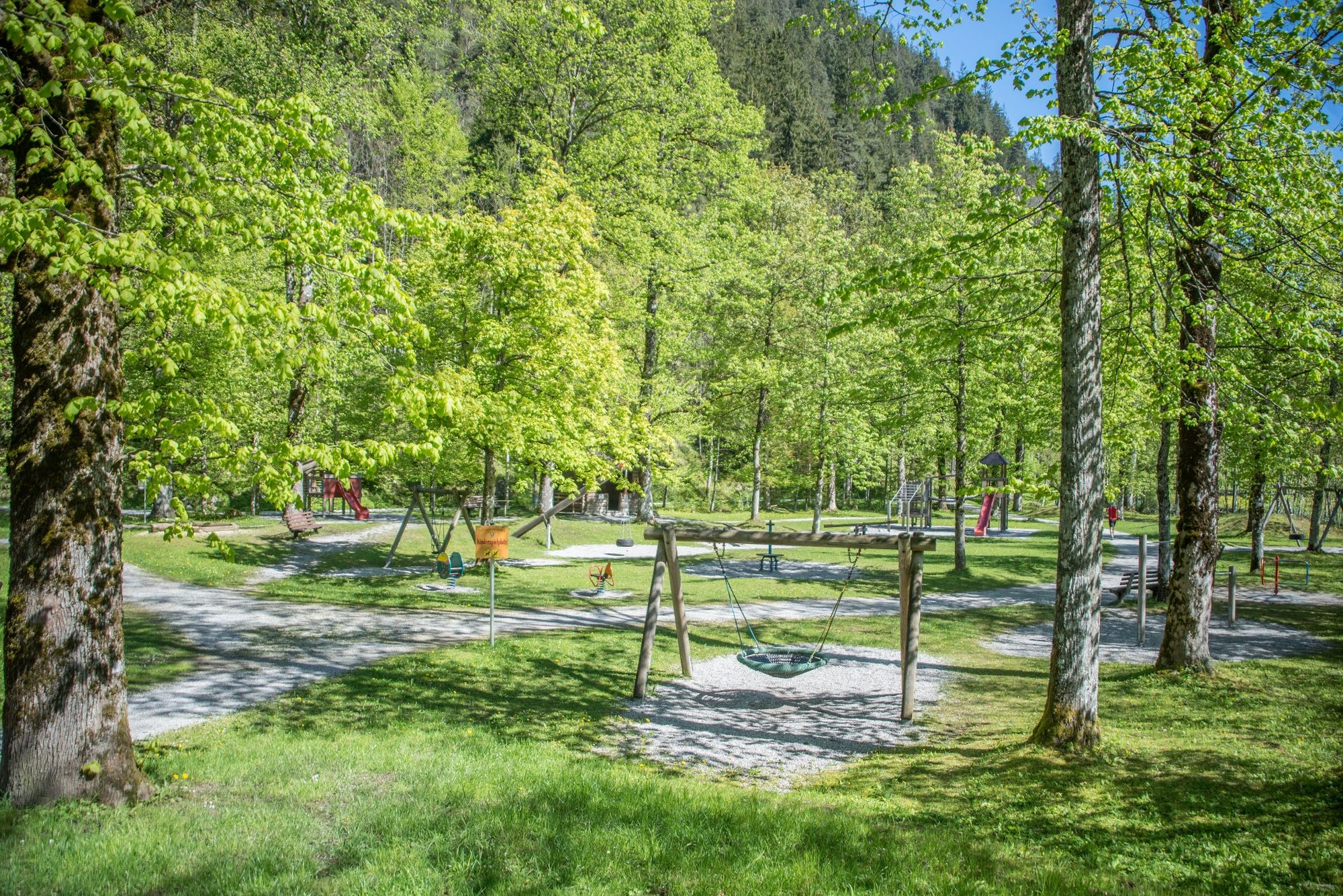
From Lofer we head west to the Kneipp facility and return to Lofer via the playground.
- Difficulty
-
easy
- Rating
-
- Starting point
-
Lofer tourist information office
- Route
-
Pfarrkirche Hll Maria und Leonhard0.1 kmLofer0.2 kmPfarrkirche Hll Maria und Leonhard3.6 km
- Best season
-
JanFebMarAprMayJunJulAugSepOctNovDec
- Description
-
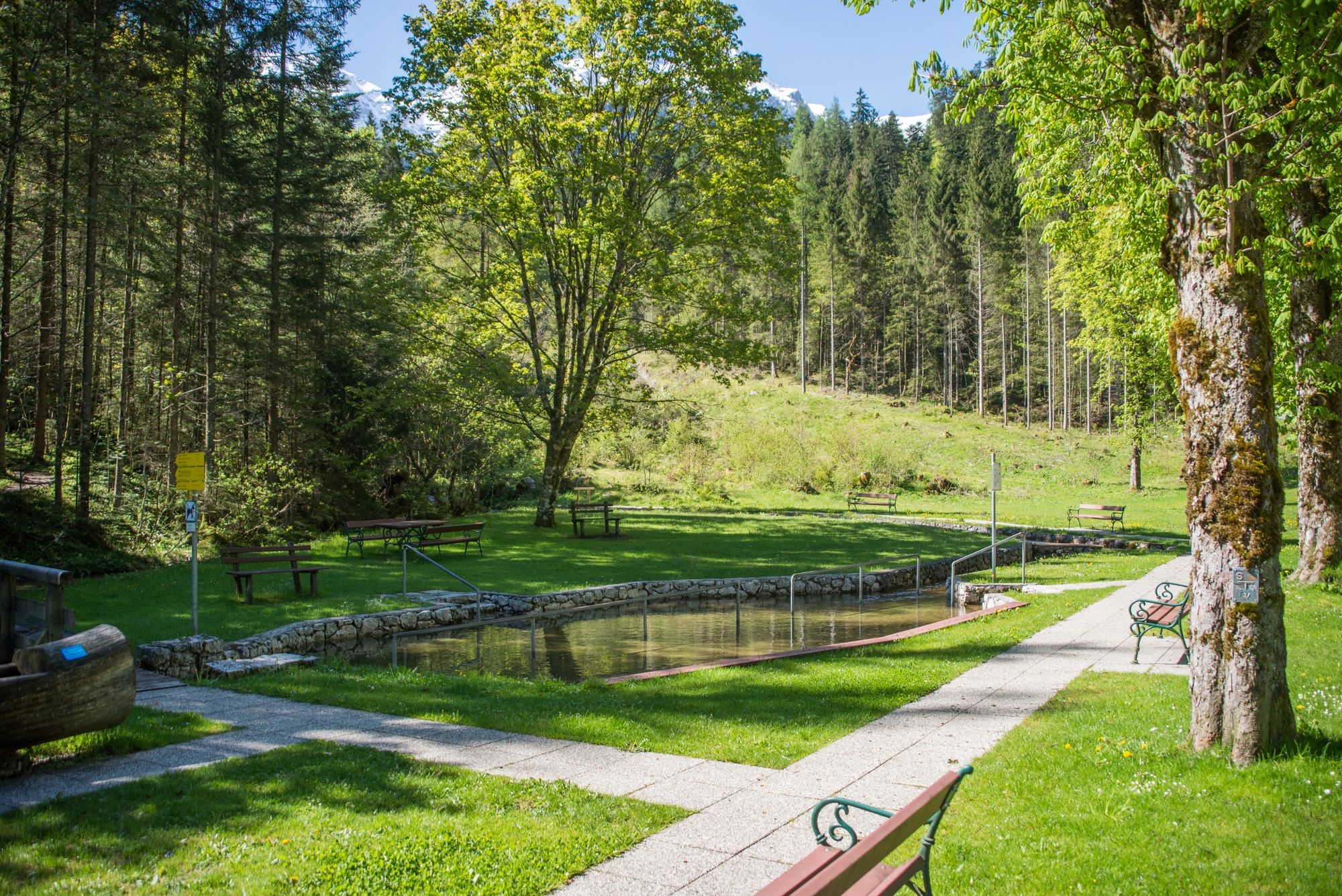
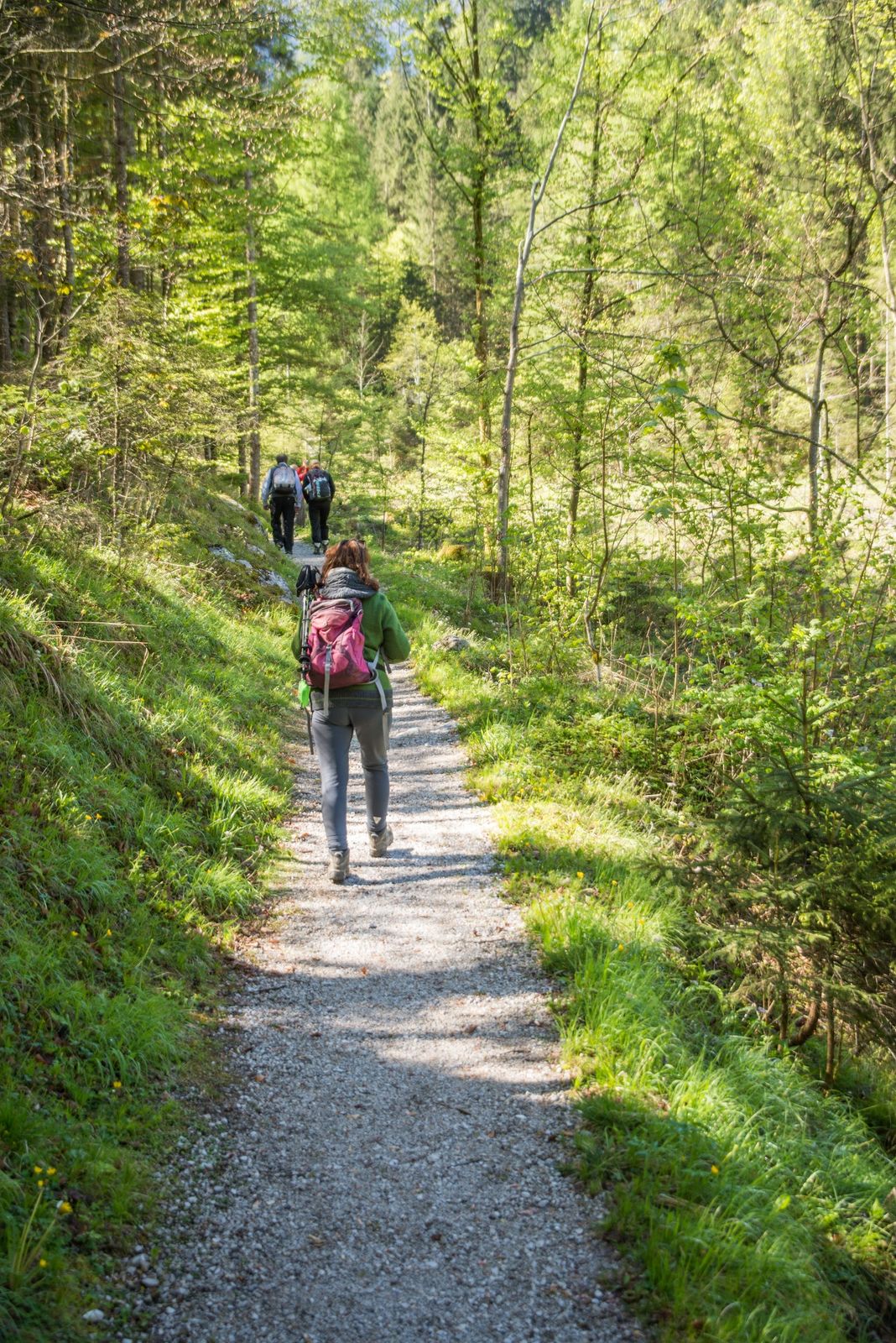
Easy hike from Lofer to the Kneipp facility, which invites you to cool off. Return on the other "valley side" along the Loferbach and past the children's playground to the starting point in Lofer.
- Directions
-
From Lofer along the Marktstraße to the Hotel Lintner. Cross the main road and pass behind the tennis courts to the Kneipp facility. Continue again along the B178, past the Sonneck guesthouse to the playground in Lofer. The last stretch leads along the Loferbach stream back to the center of Lofer.
- Highest point
- 665 m
- Endpoint
-
Lofer tourist information office
- Height profile
-

- Equipment
-
no special equipment is needed.
- Safety instructions
-
Attention: You have to cross the B178 twice.
- Tips
-
The Kneipp facility and the shady playground in the forest are ideal destinations even in hot weather.
- Directions
-
Via the B178 and B311 to Lofer.
- Public transportation
- Parking
-
Parking at the large parking lot in Lofer
-

-
AuthorThe tour Lofer - Kneipp facility - Playground - Lofer is used by outdooractive.com provided.