


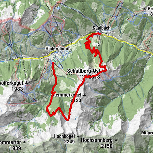
Tour data
21.27km
987
- 2,092m
1,186hm
1,317hm
05:17h
- Brief description
-
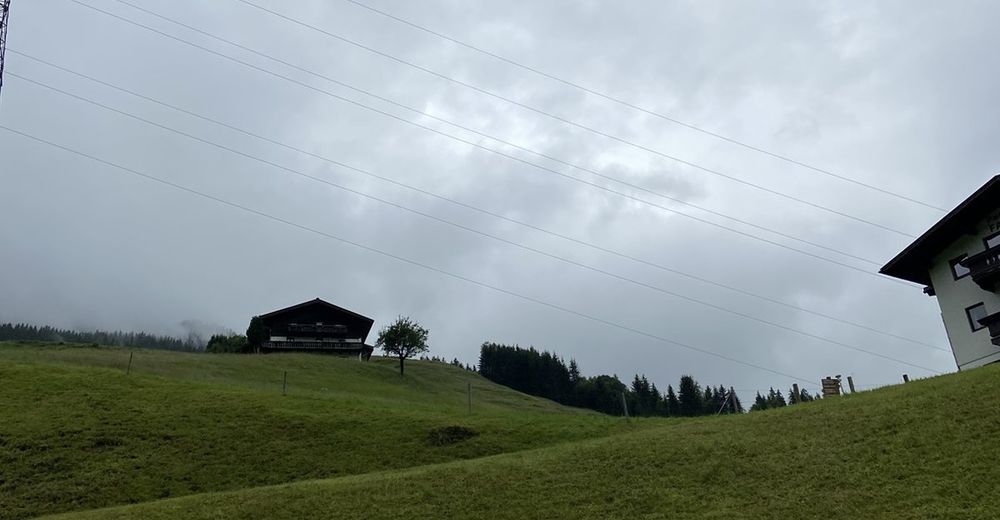
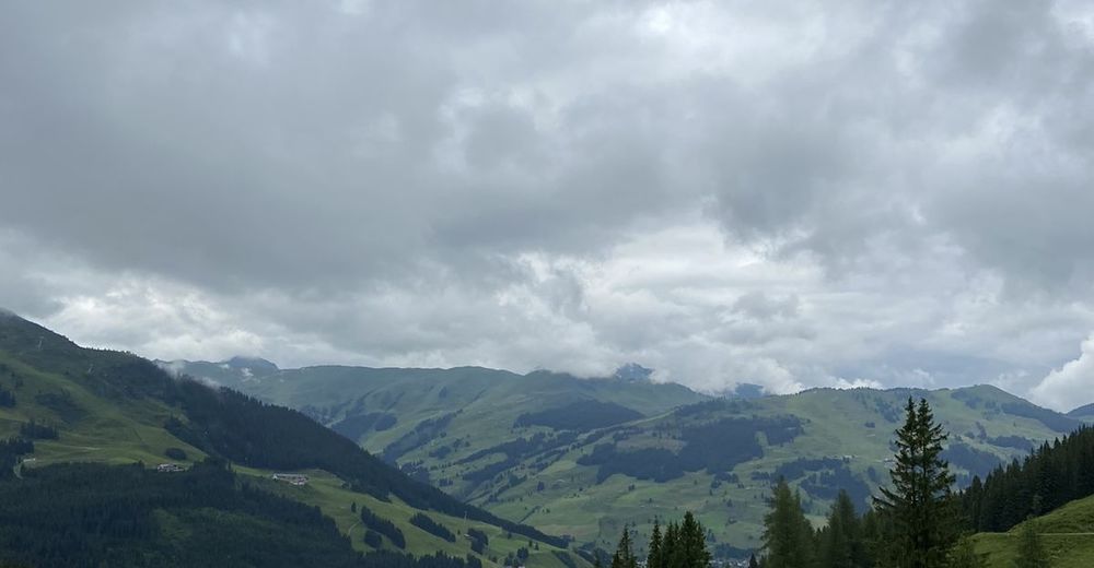
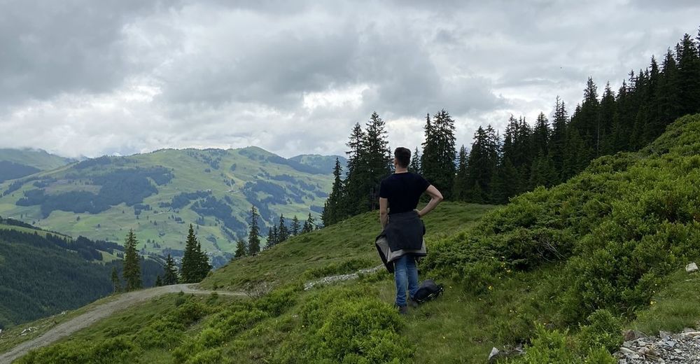
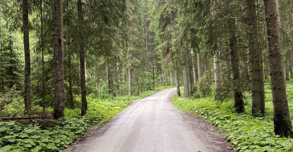
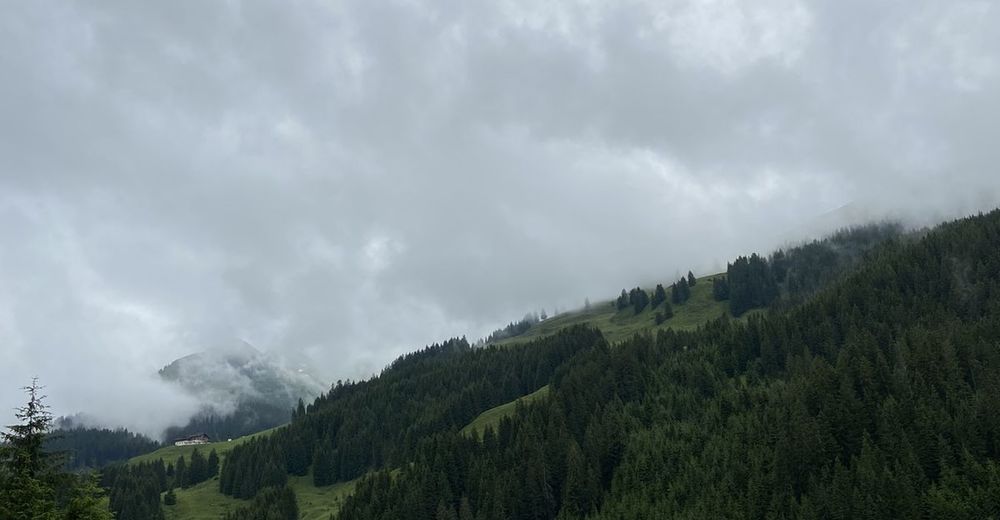
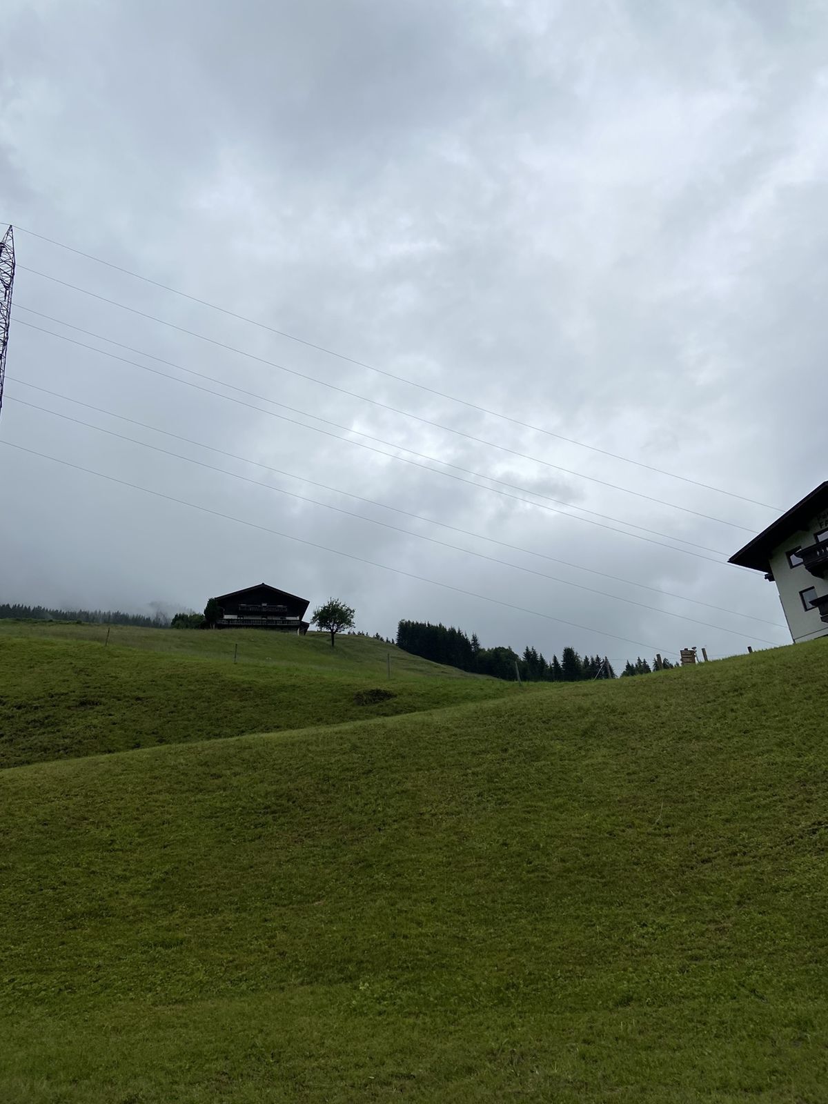
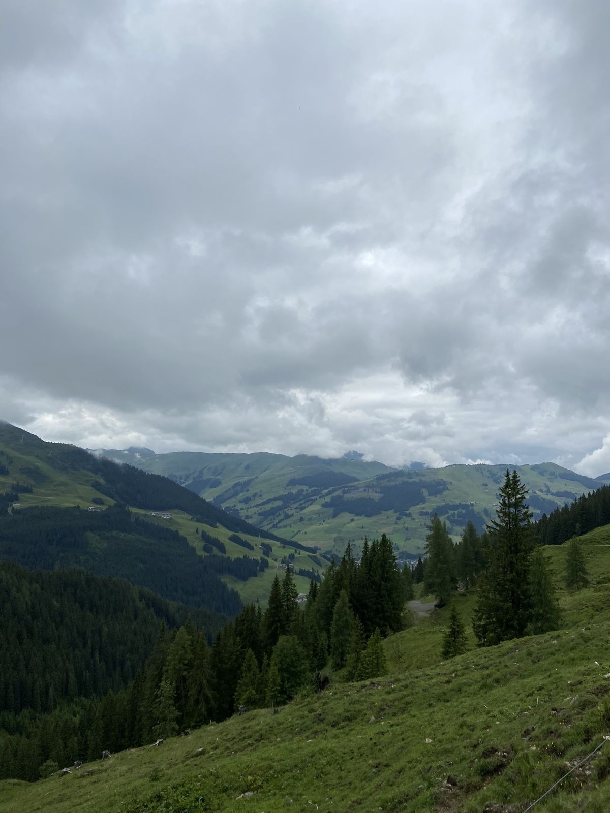
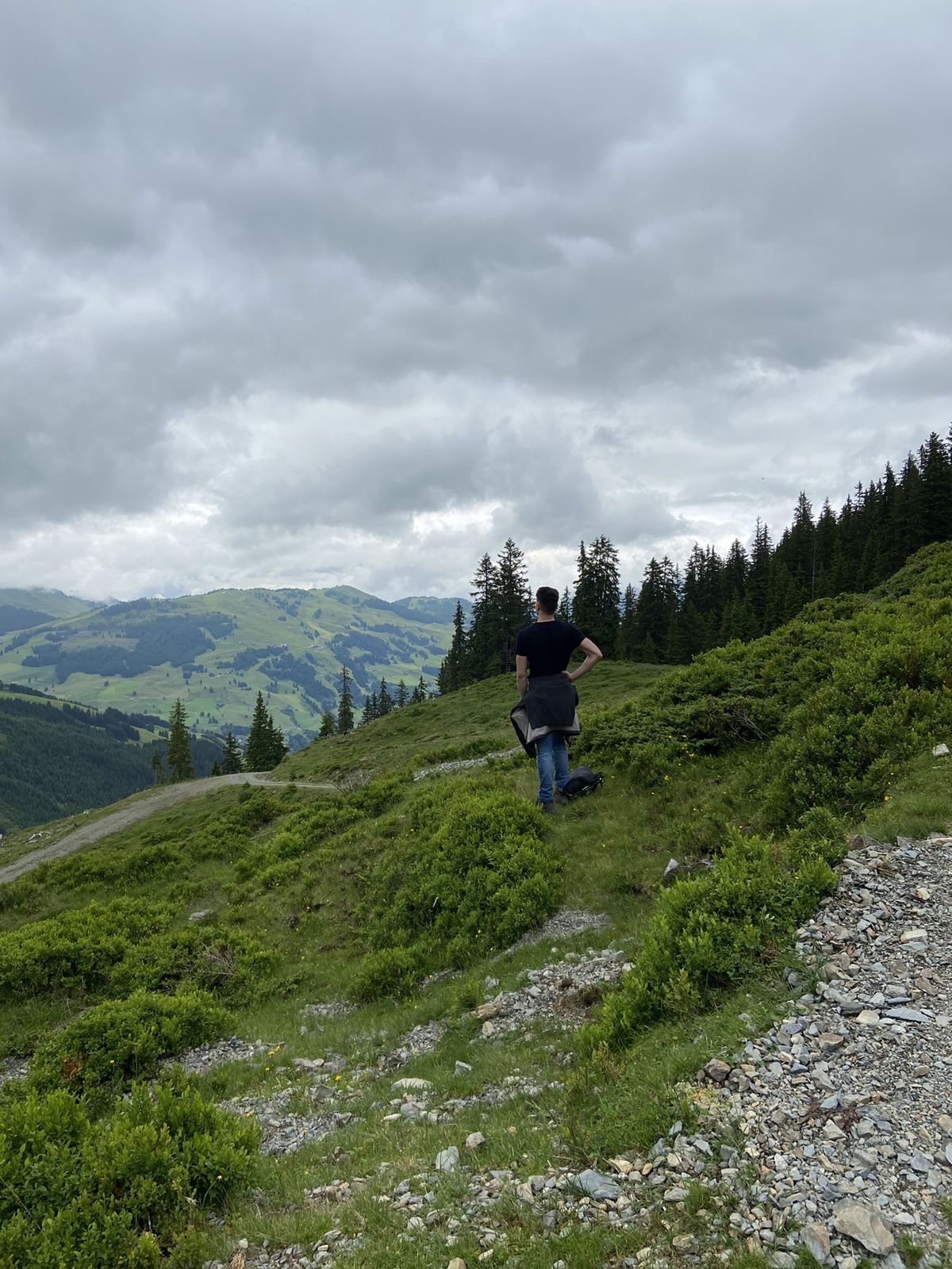
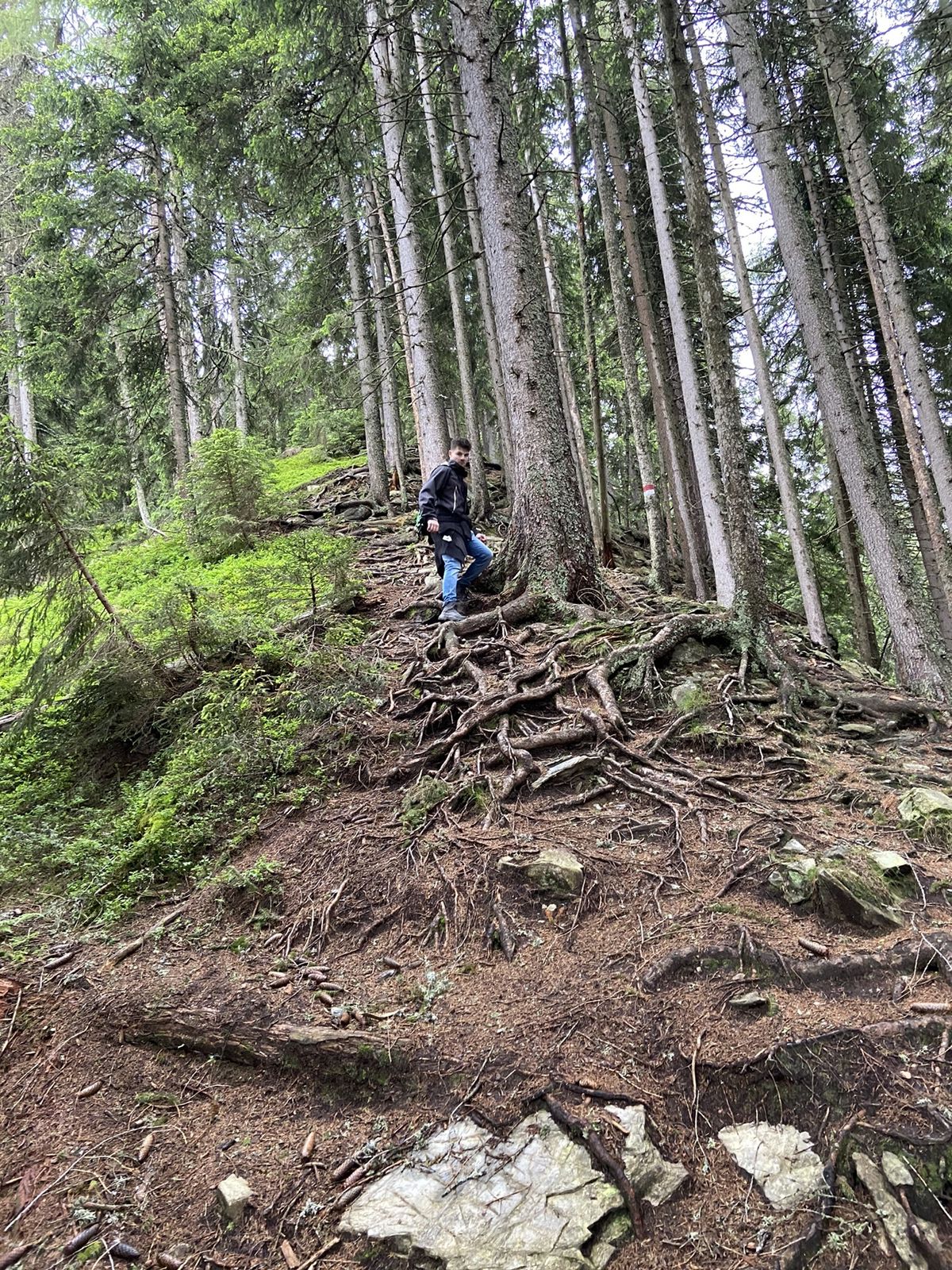
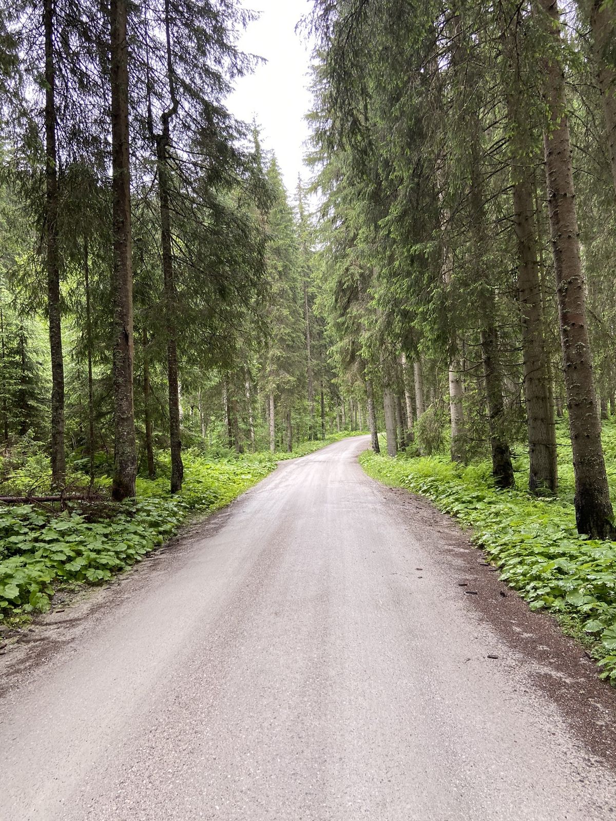
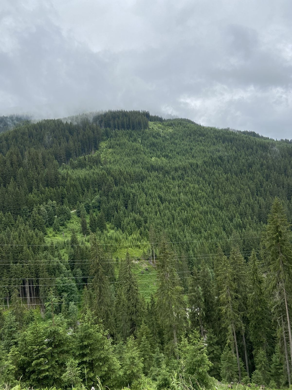
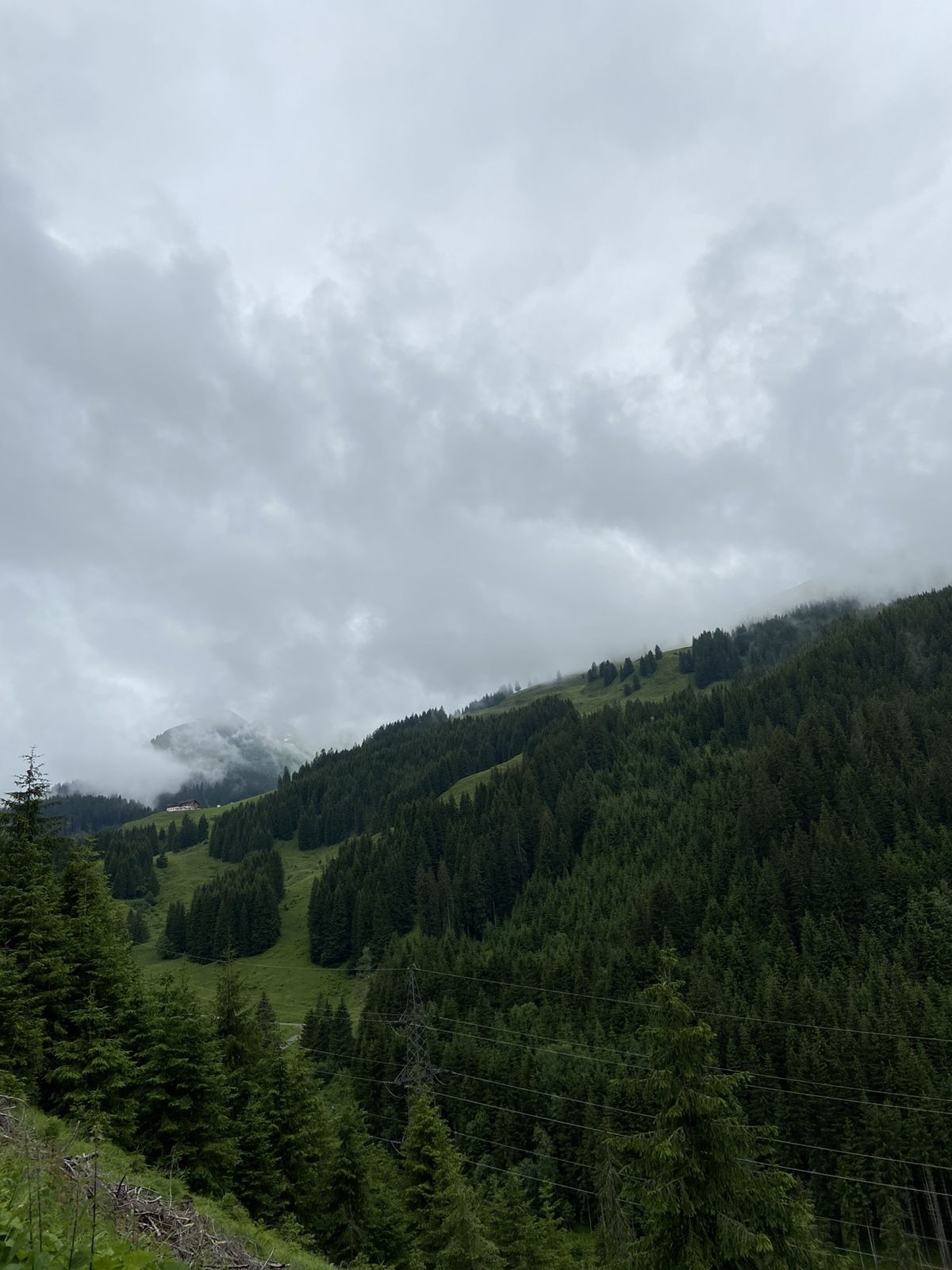
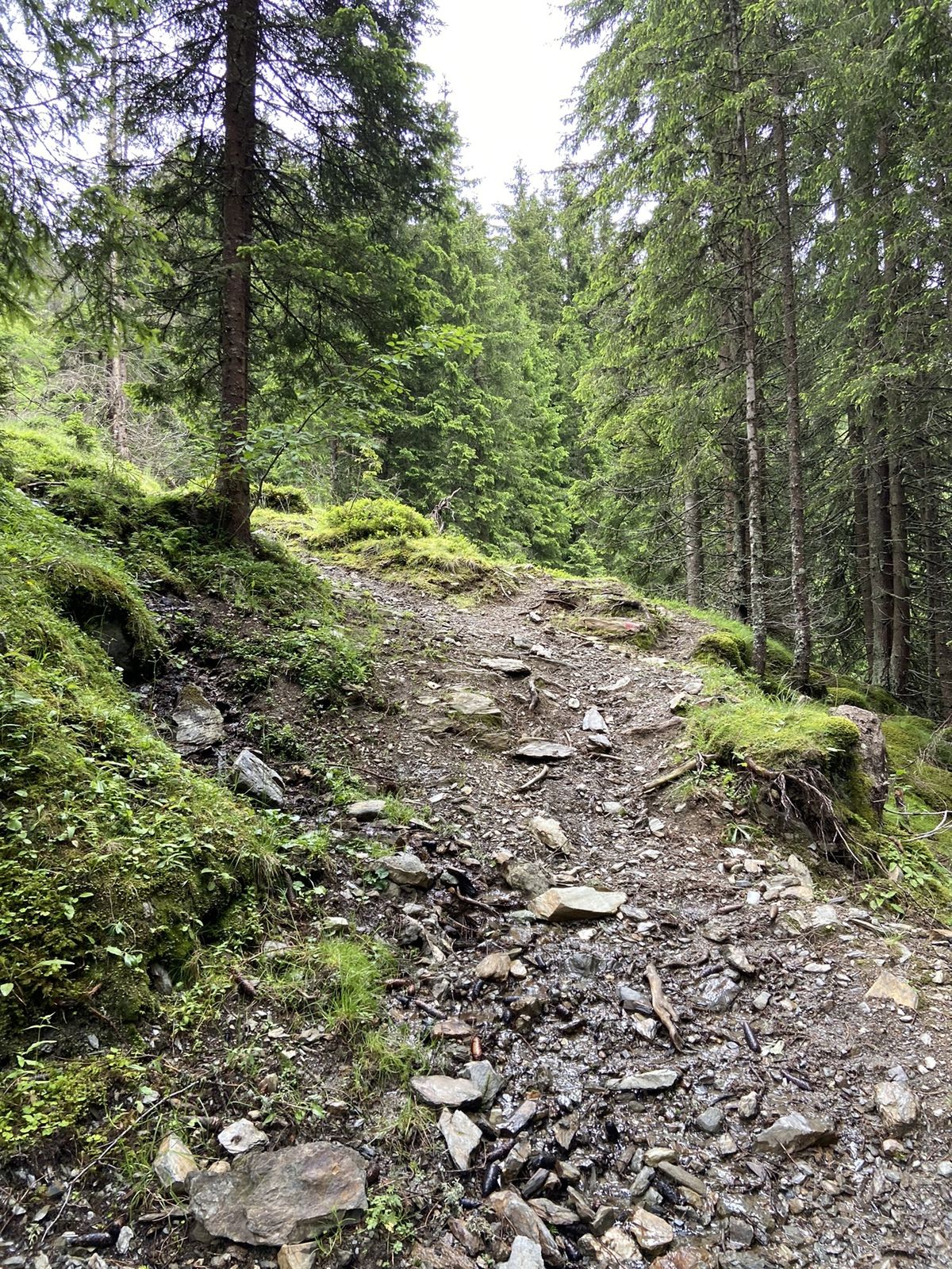
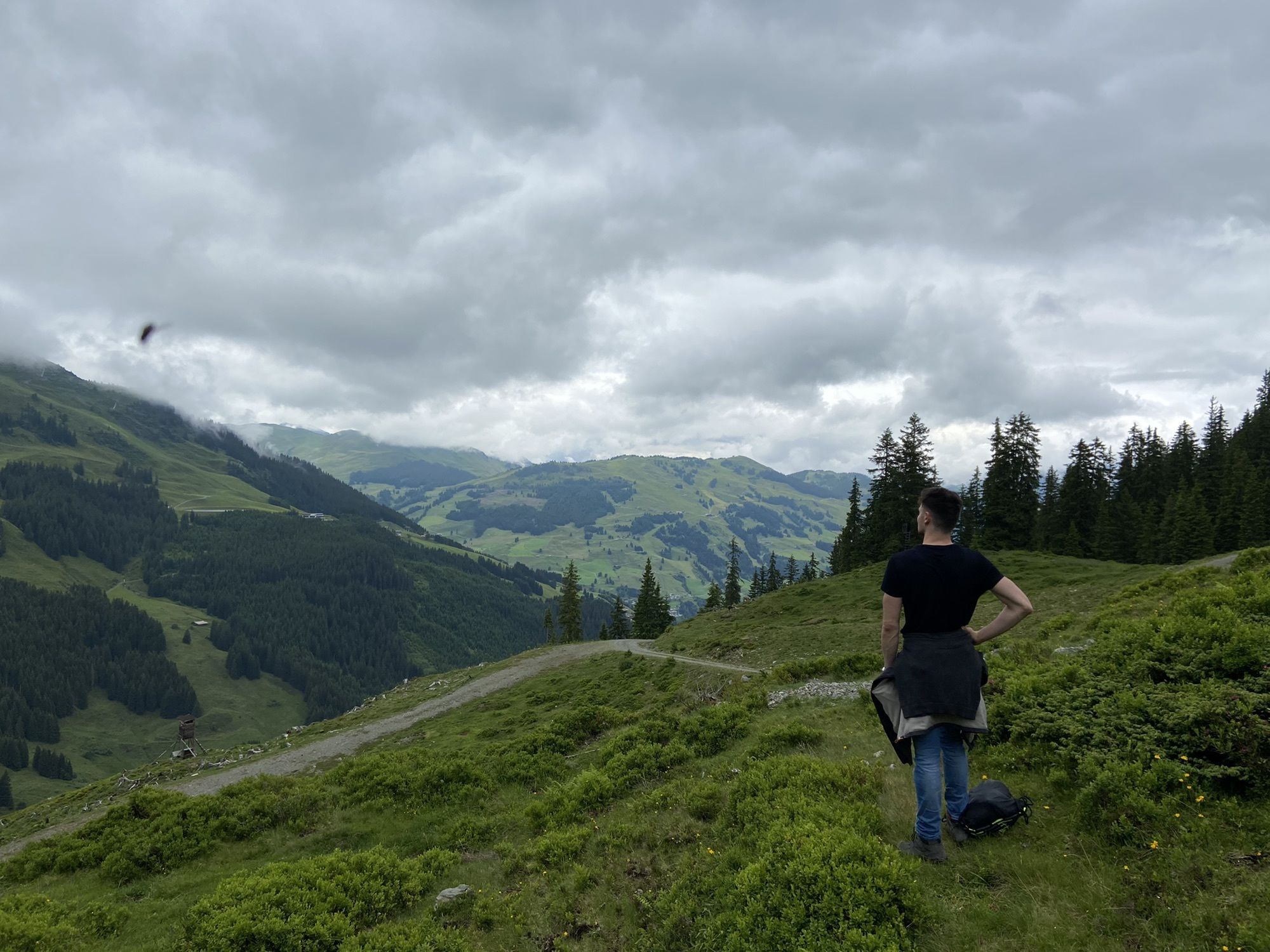
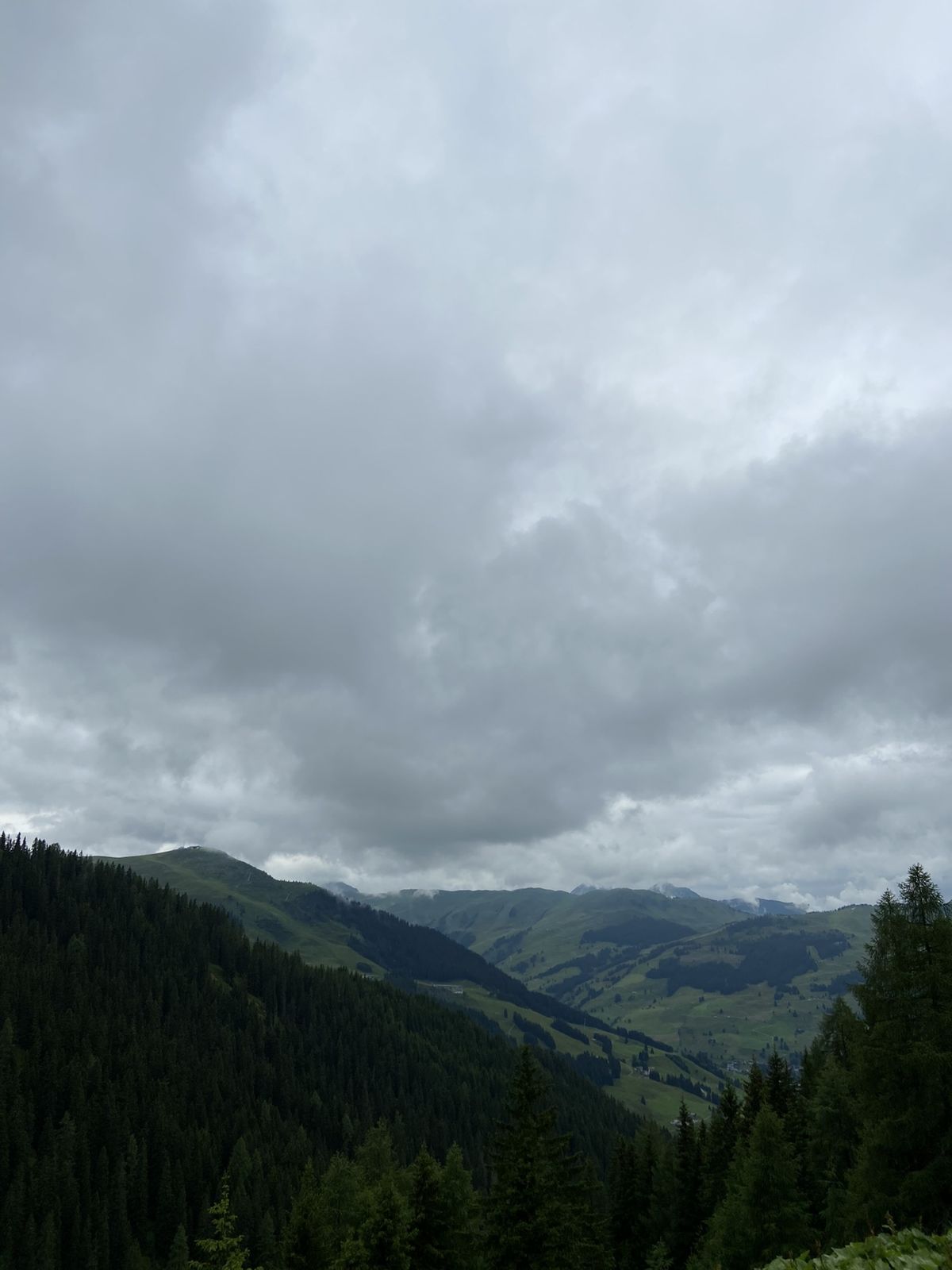
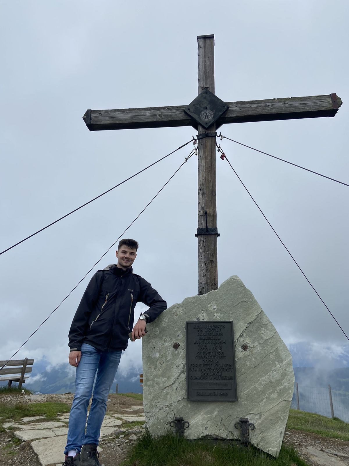
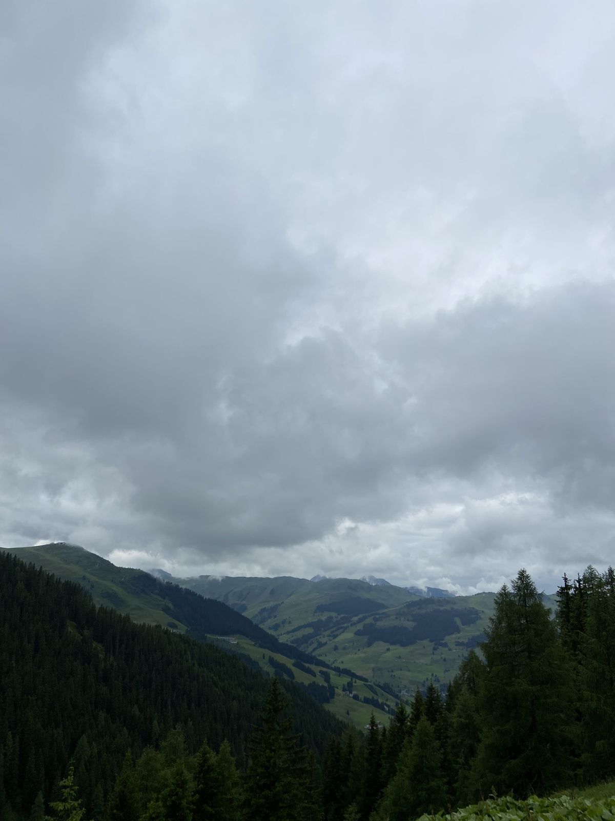
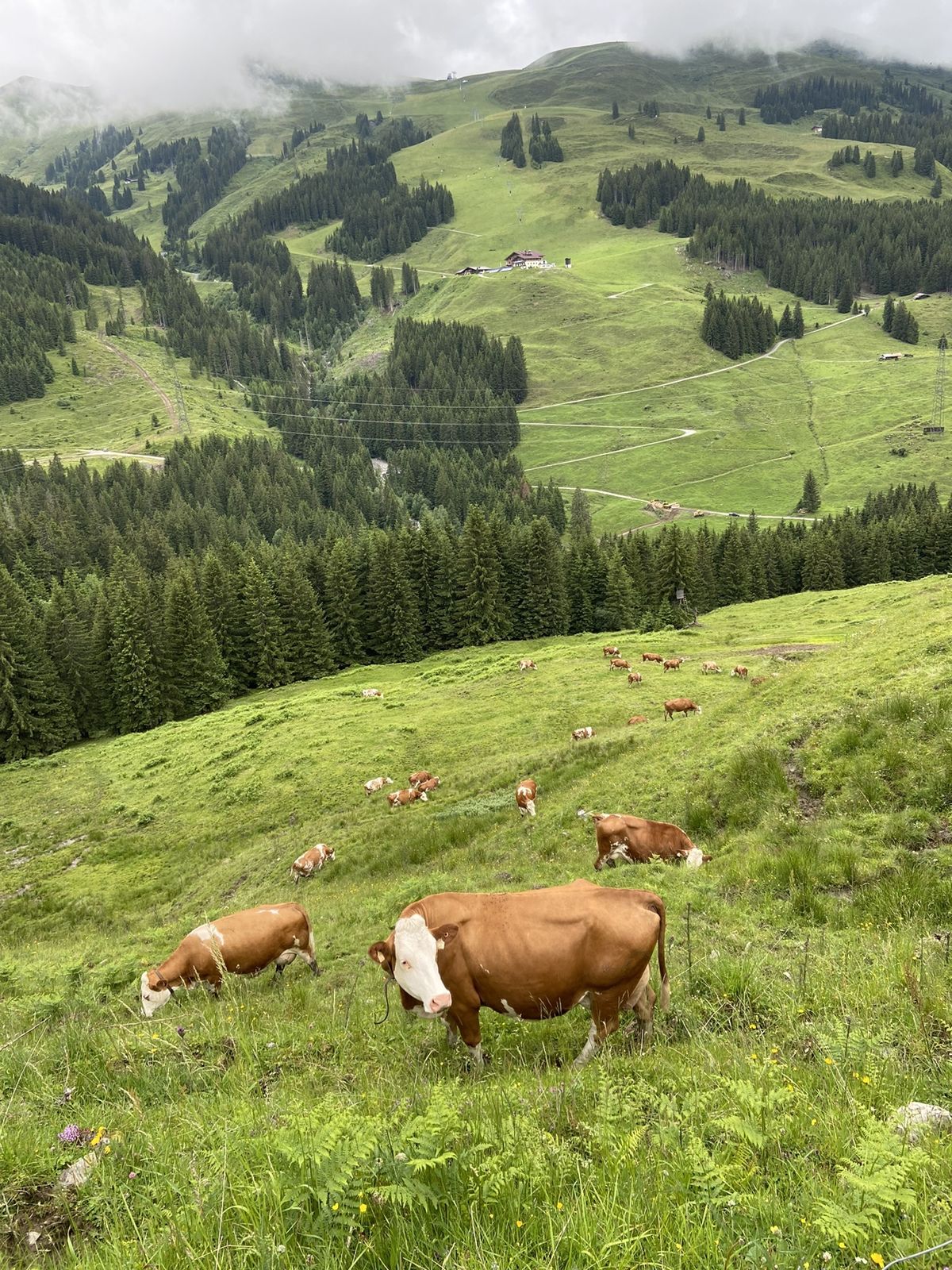
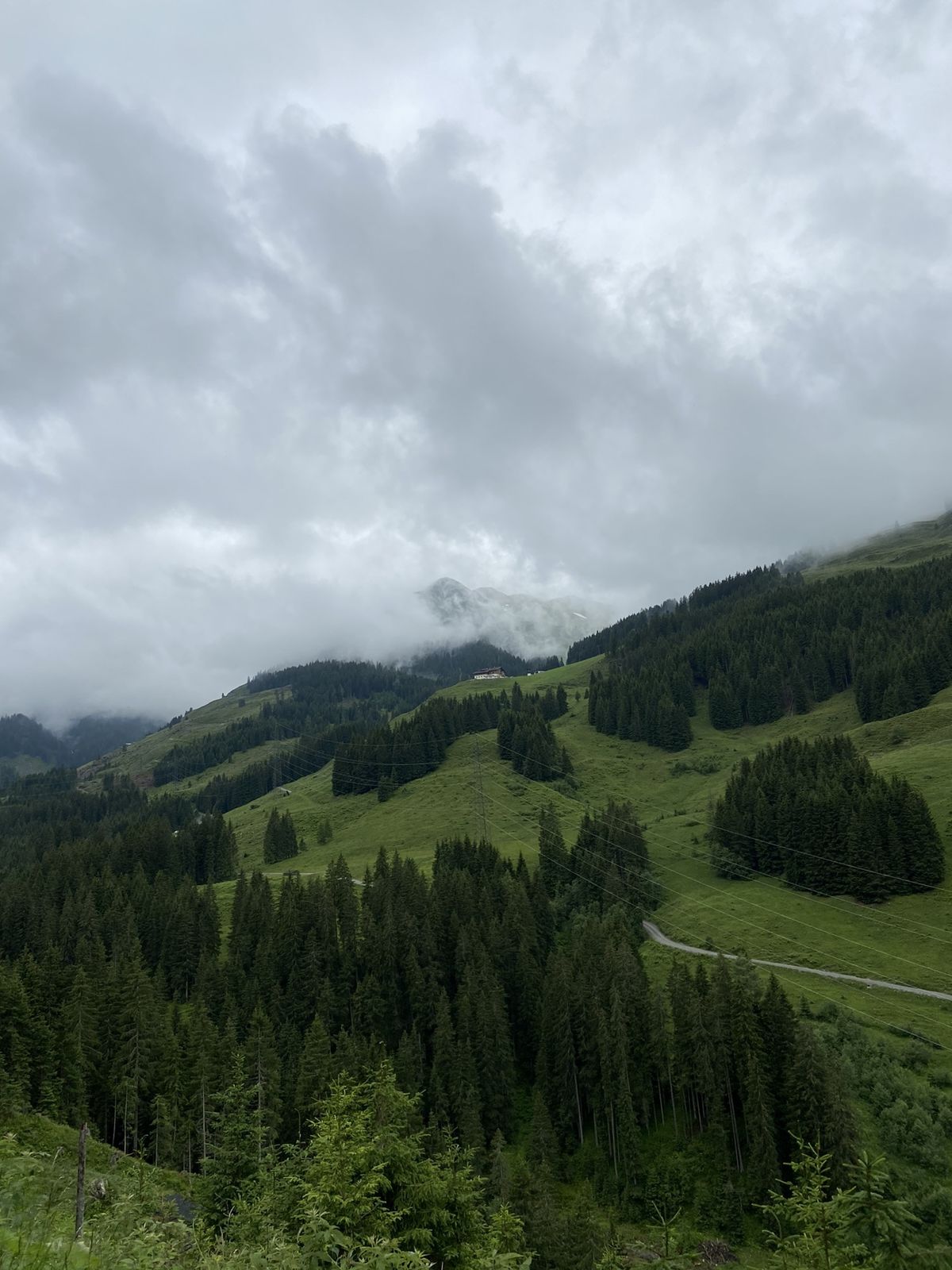
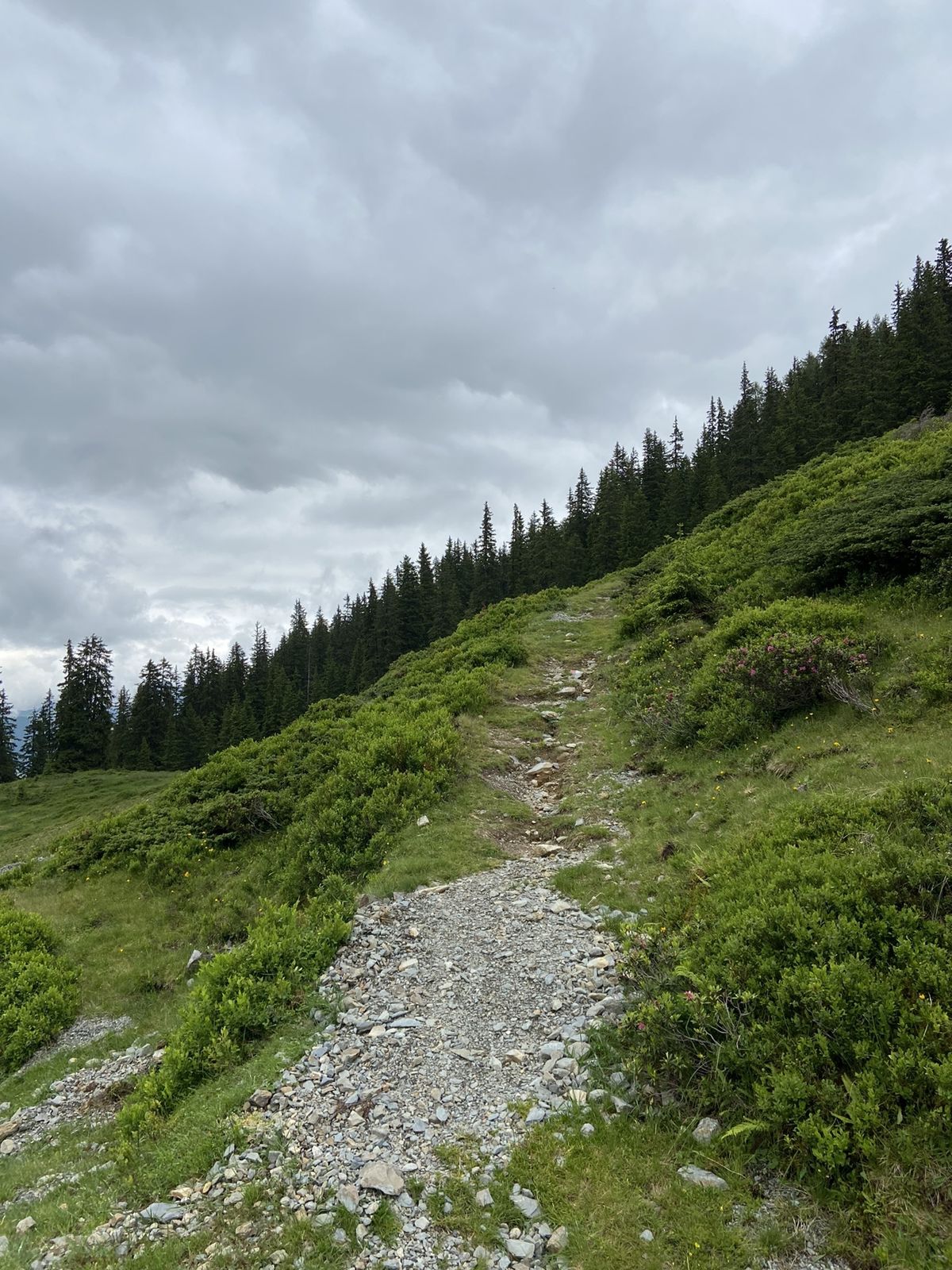
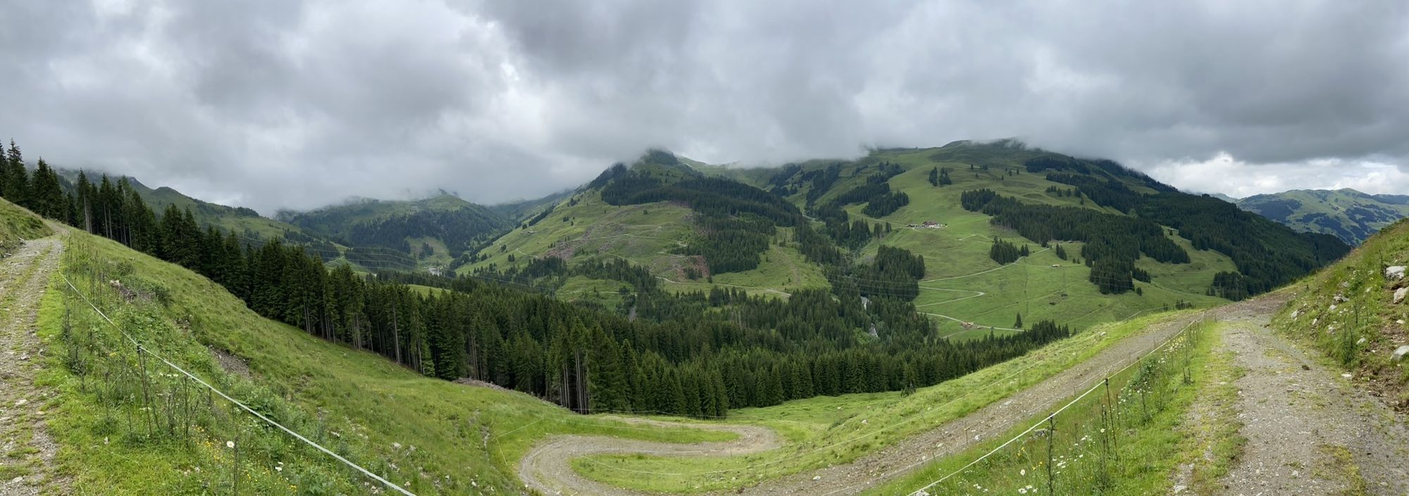
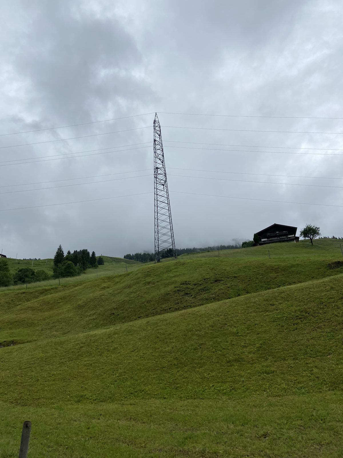
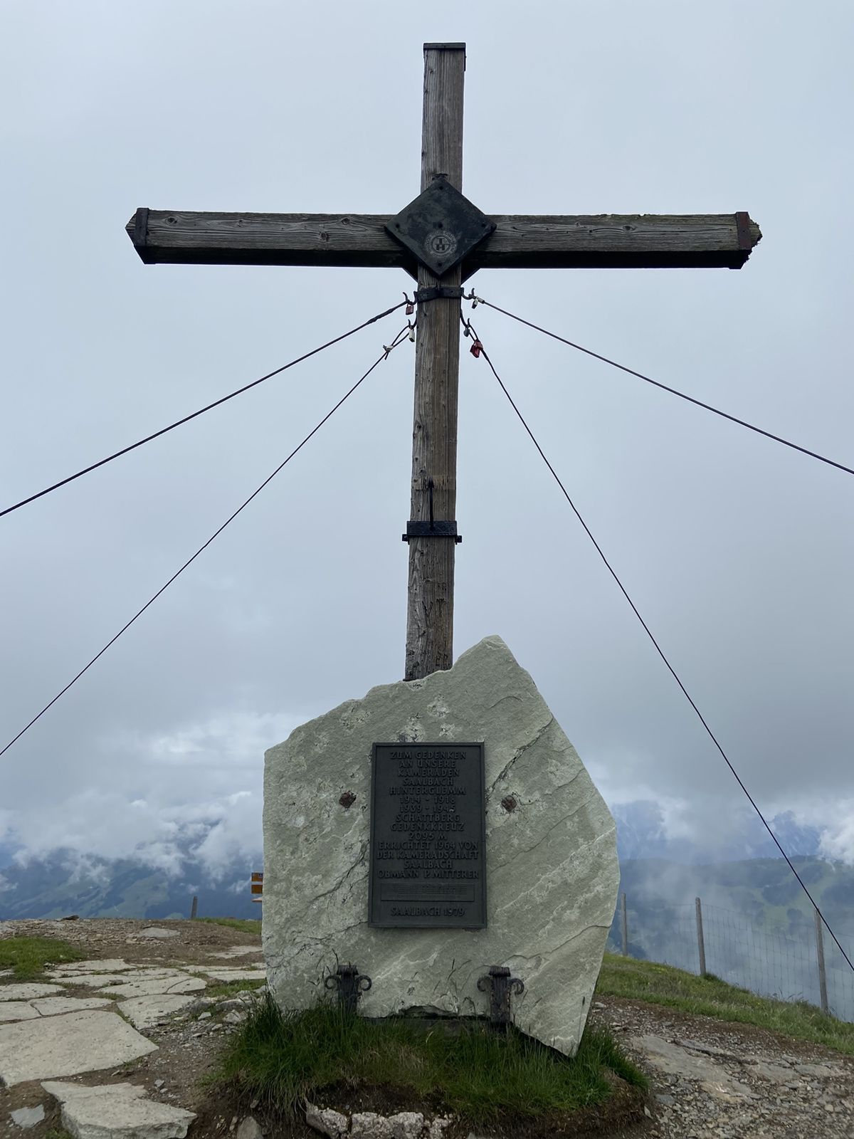
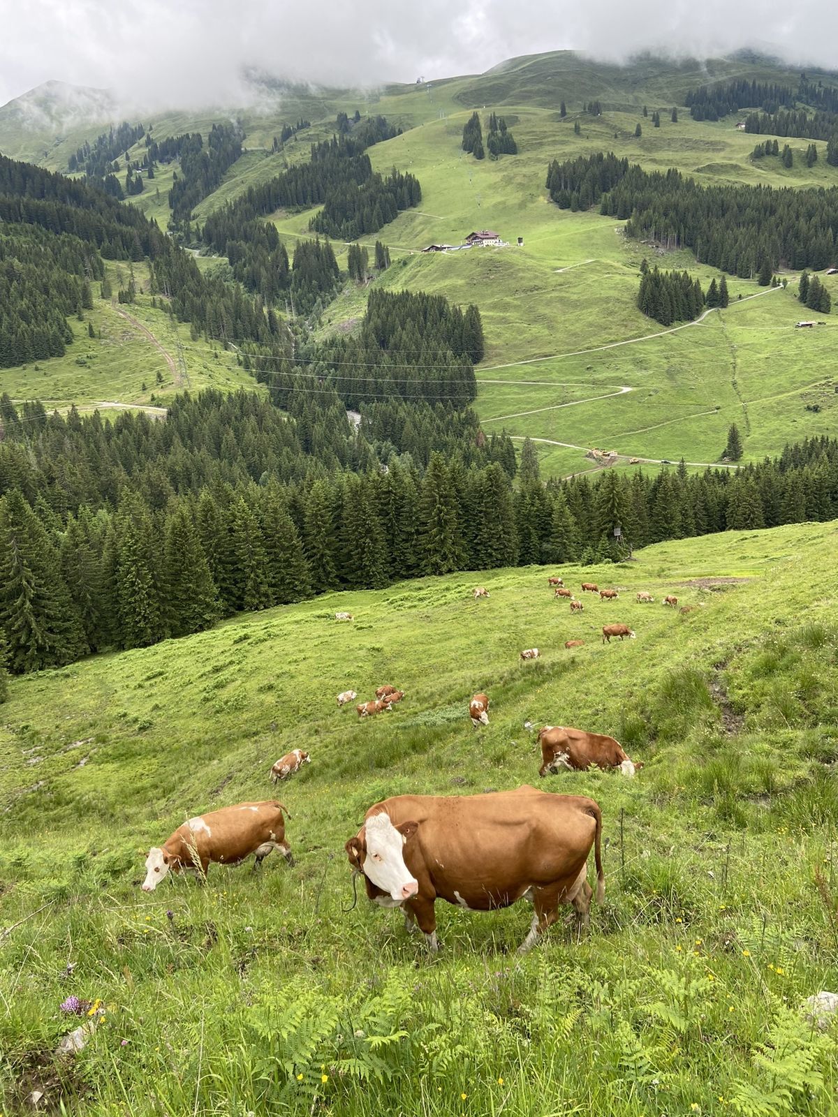
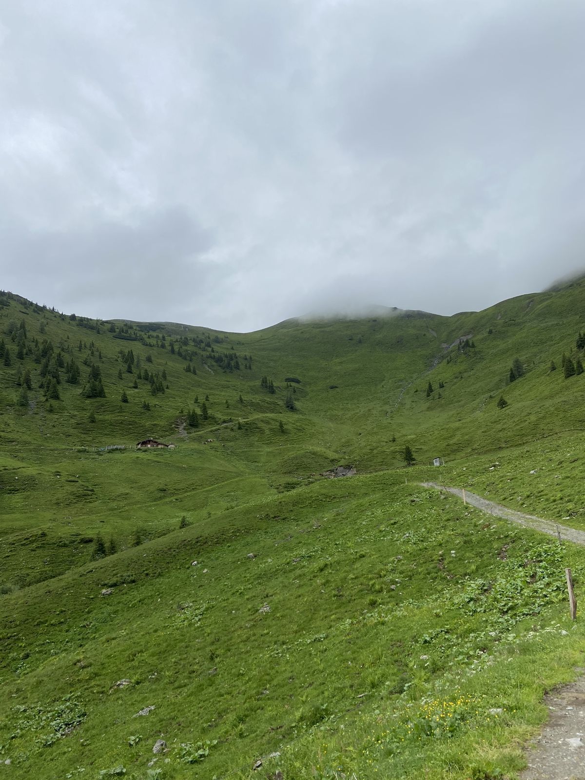
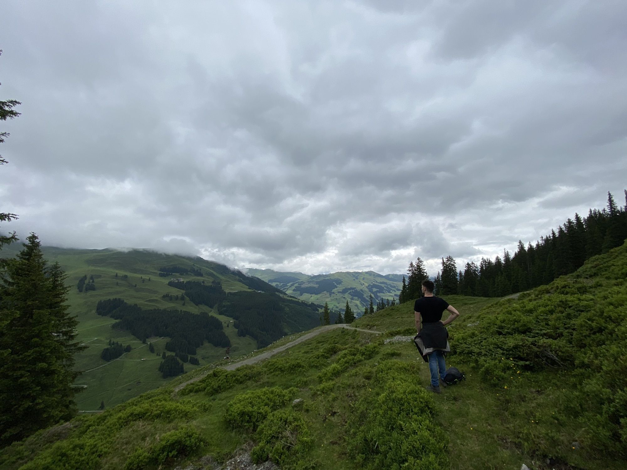
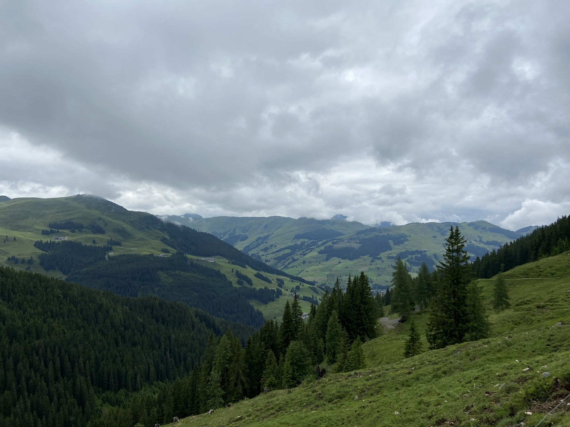
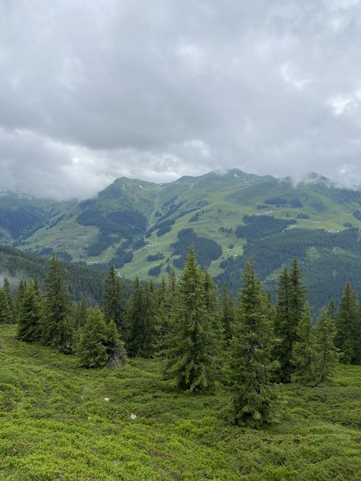
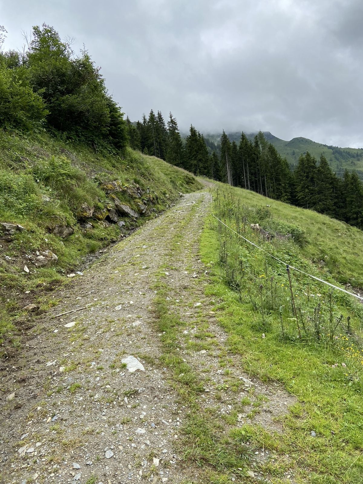
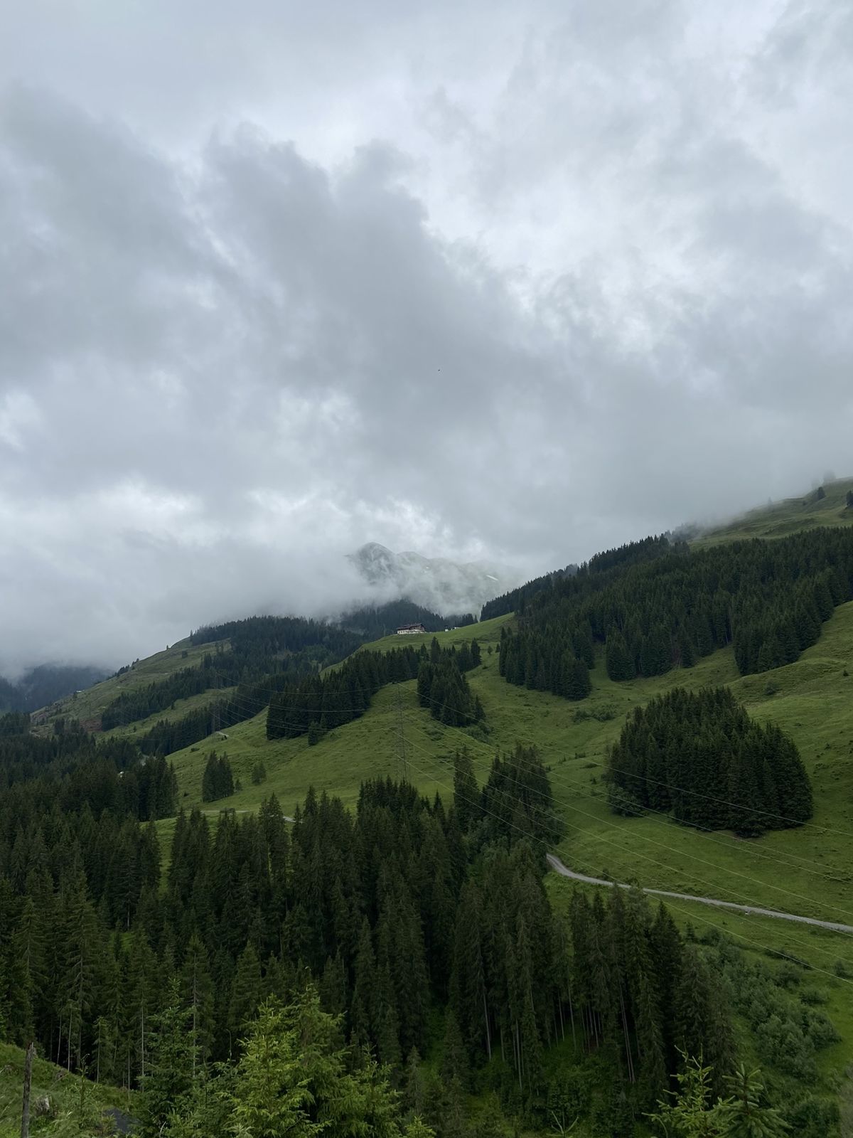
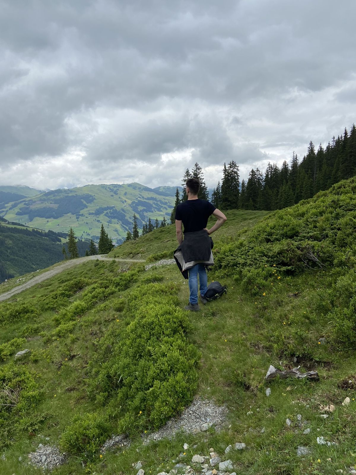
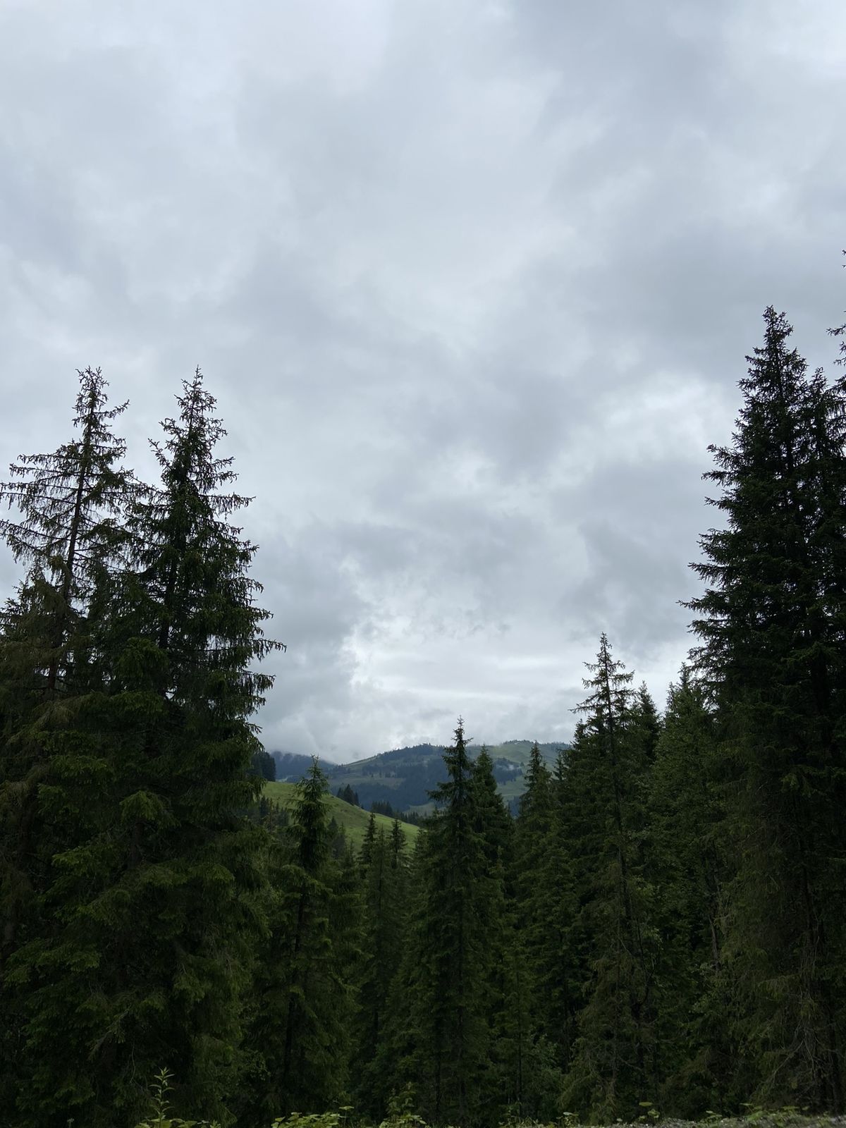
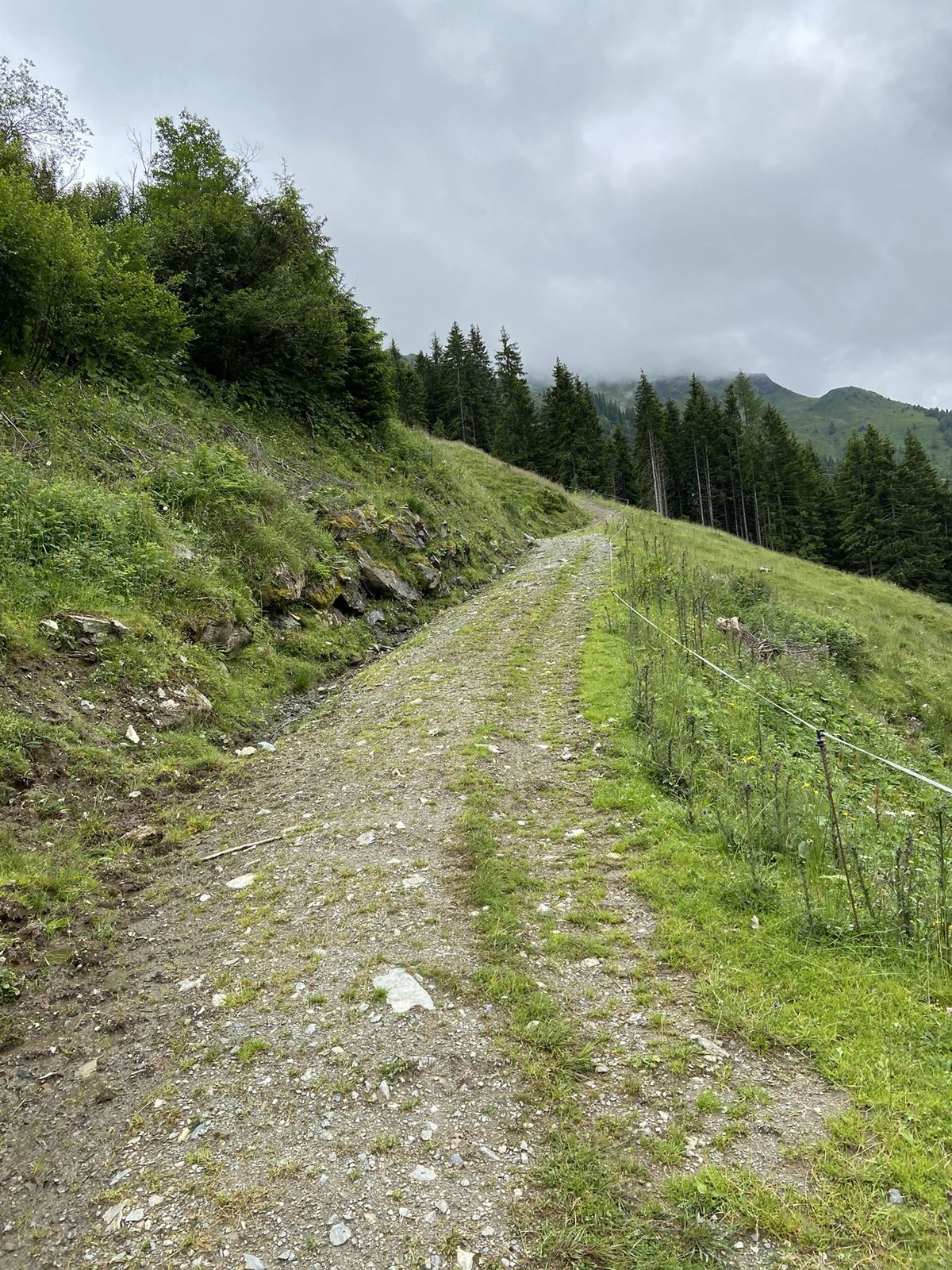
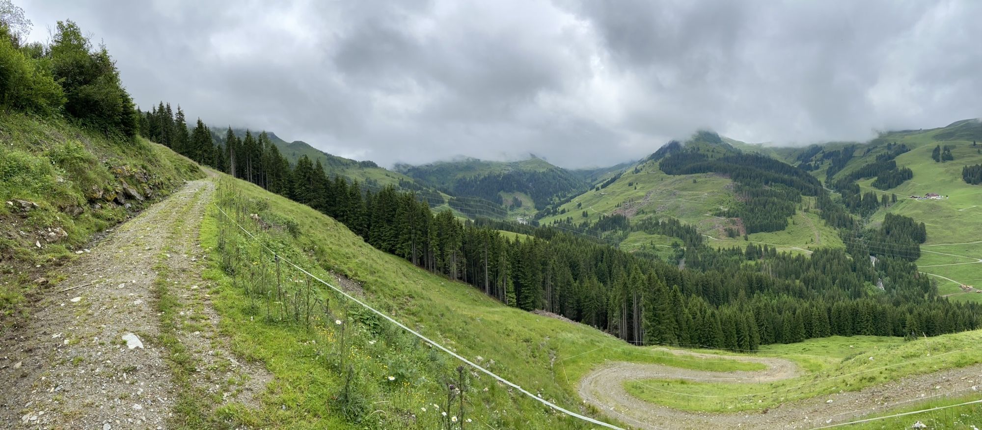
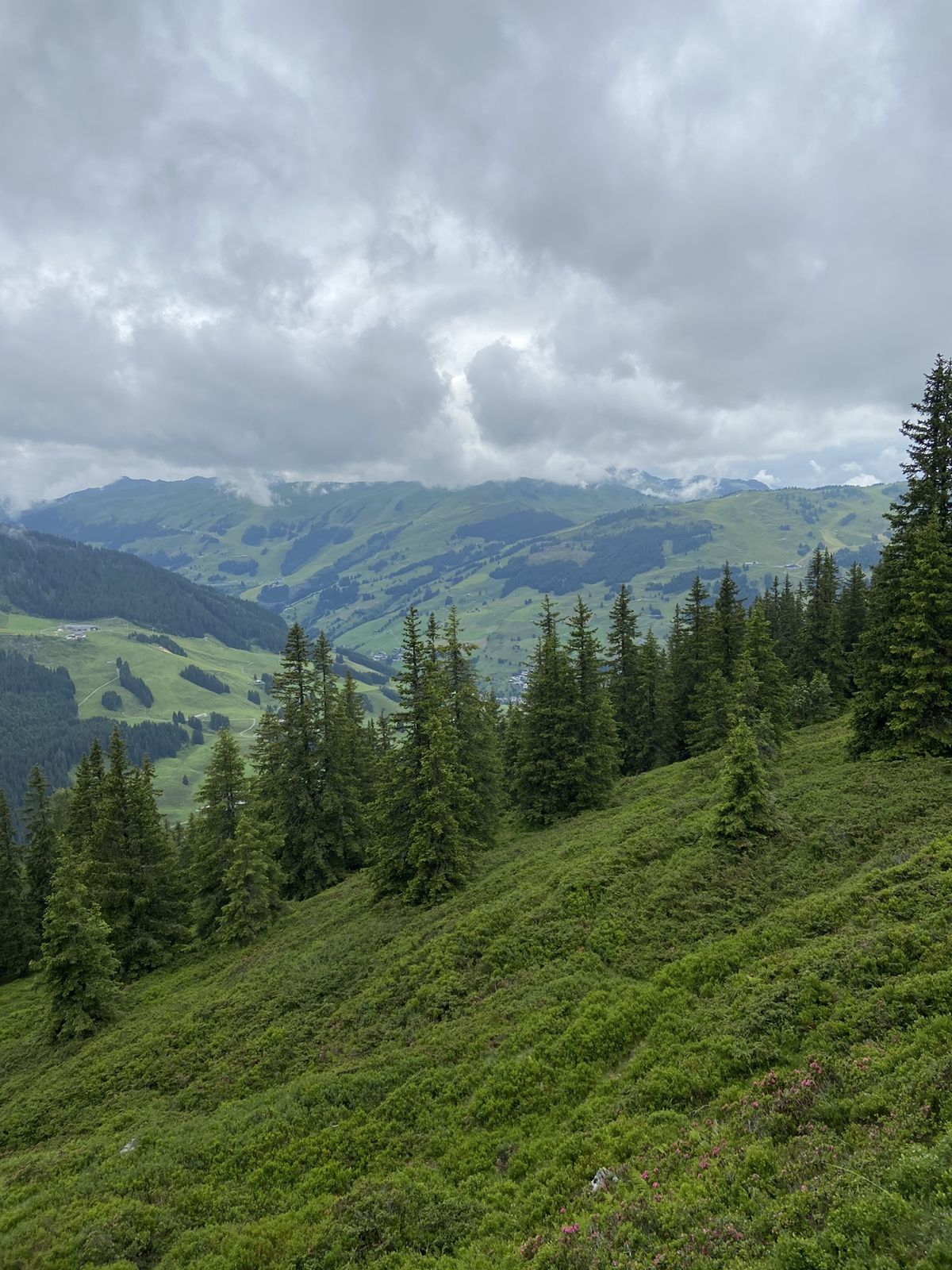
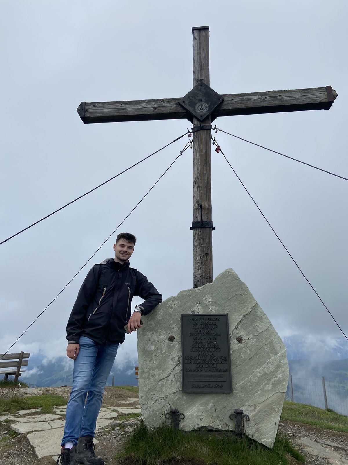
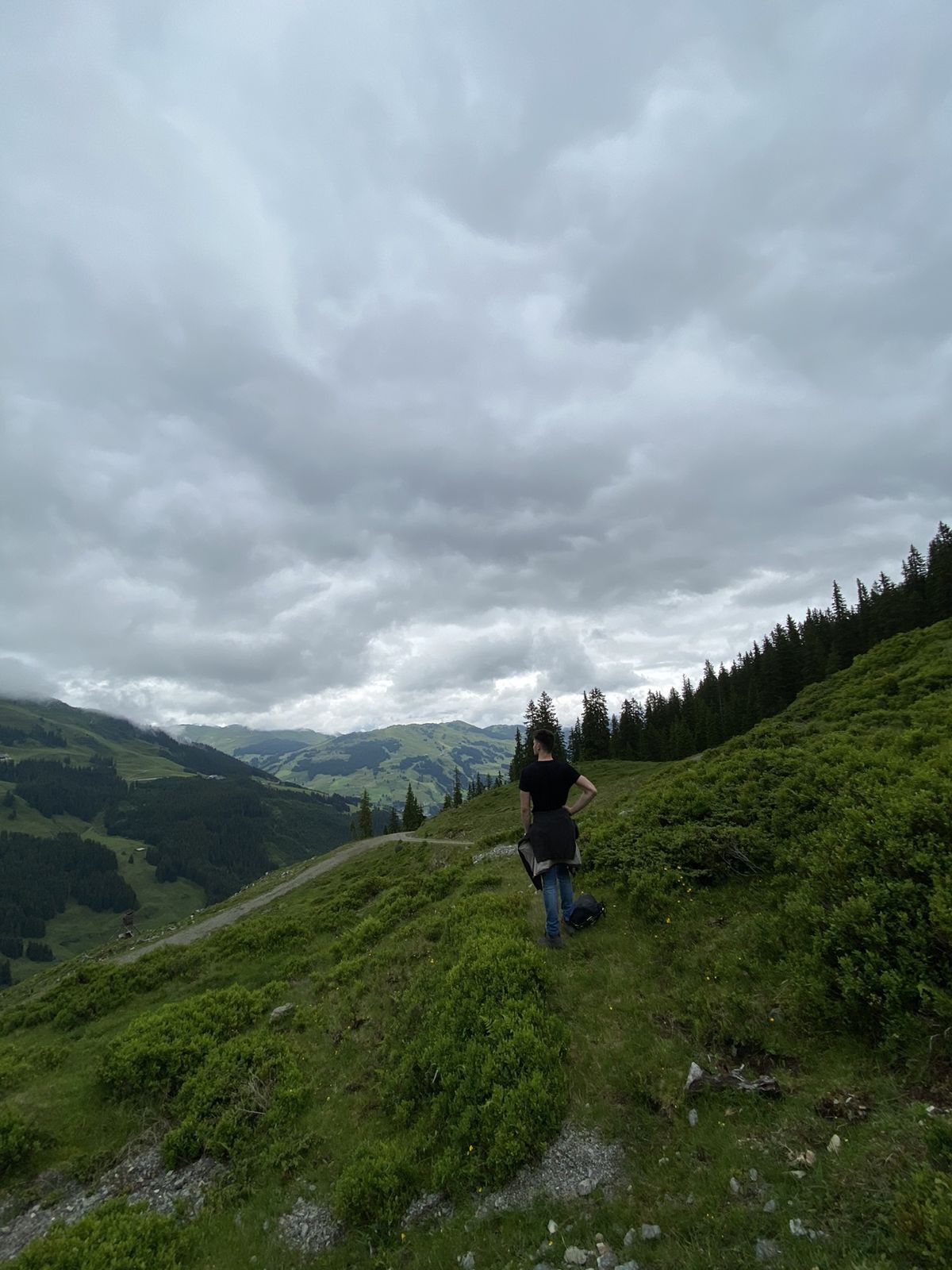
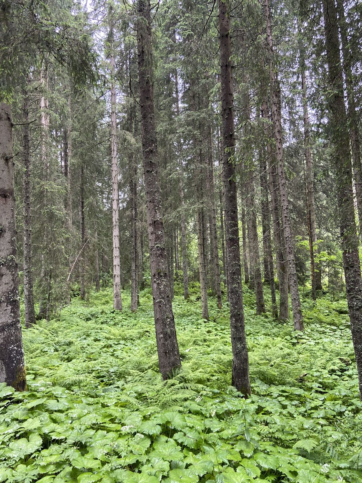
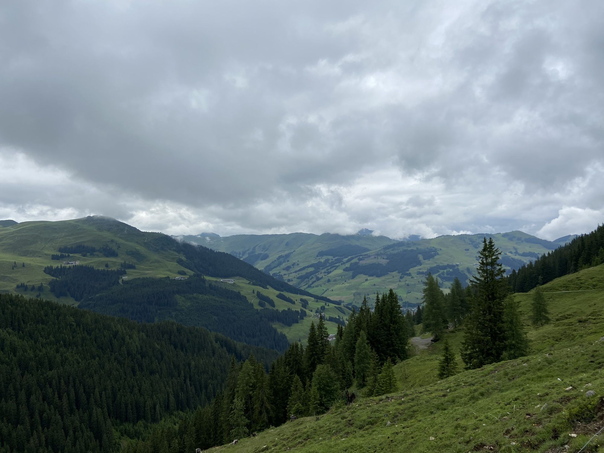
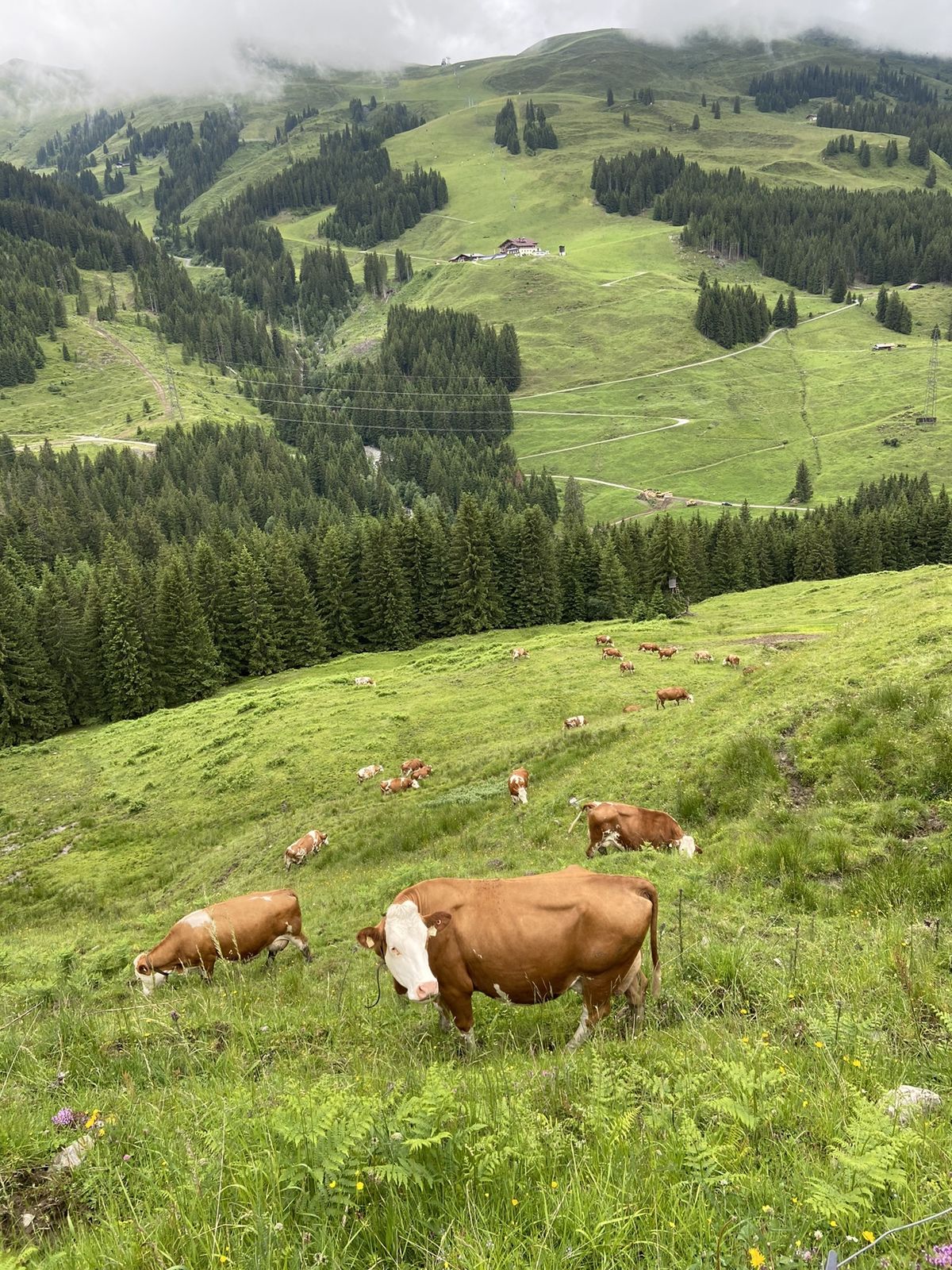
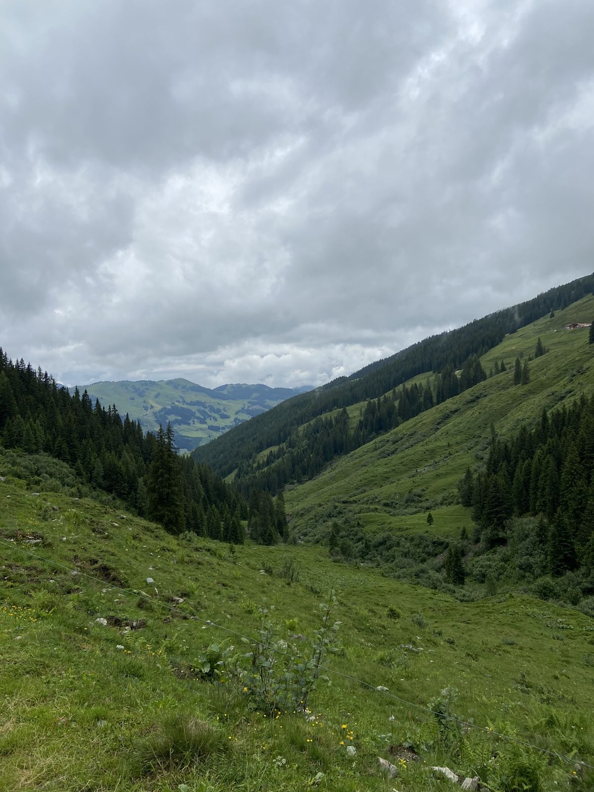
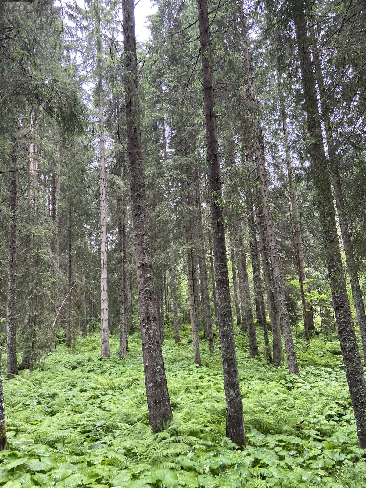
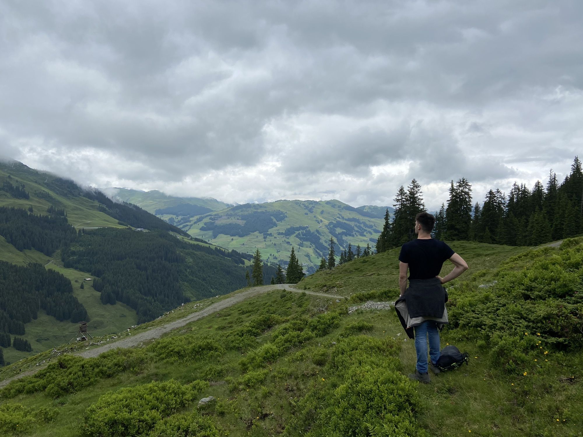
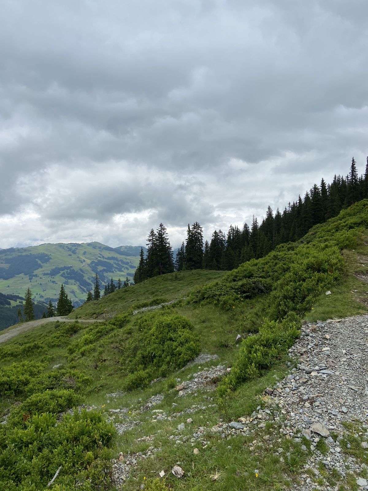
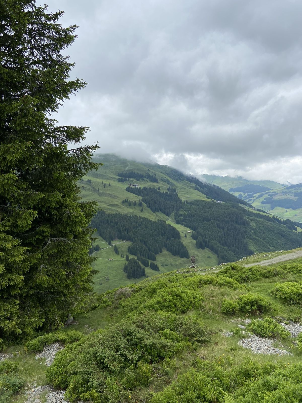
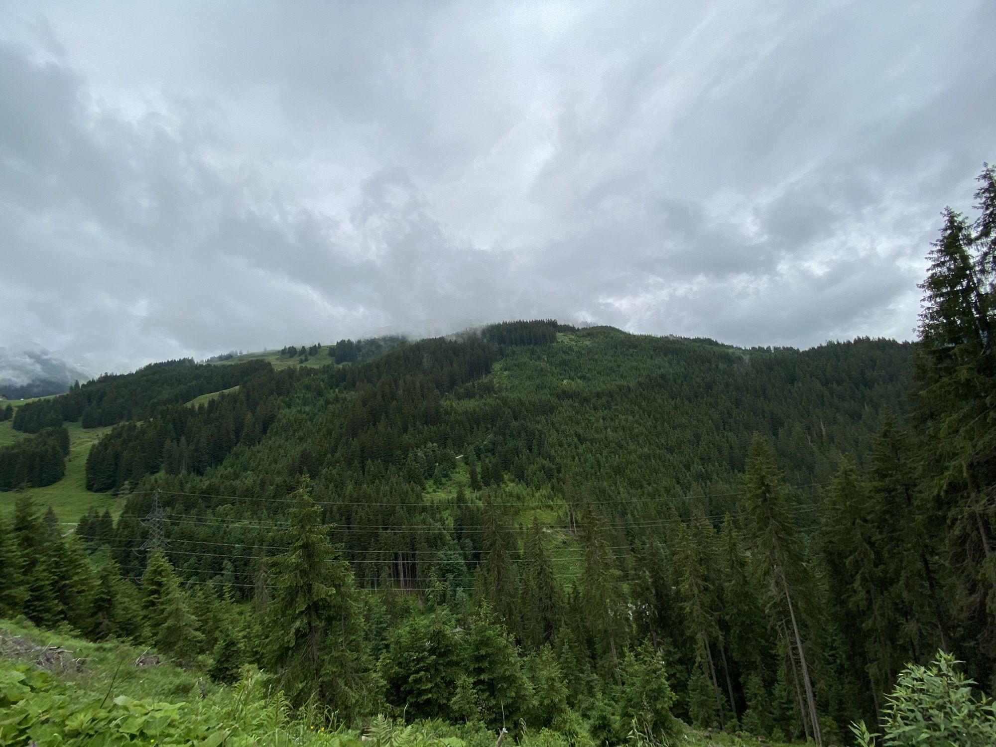
Hinterglemm - Huberalm - Westgipfel - Ostgipfel - Saalbach
- Difficulty
-
medium
- Rating
-
- Route
-
Hacklbergalm8.4 kmWestgipfelbahn Bergstation11.0 kmSchattberg West (2,096 m)11.1 kmWestgipfelhütte11.3 kmSkyRest12.7 kmSchattberg-Ost (2,018 m)12.9 kmSchattberg X-press Mittelstation15.4 kmSchattberg X-press Talstation21.2 kmSaalbach21.2 km
- Best season
-
JanFebMarAprMayJunJulAugSepOctNovDec
- Highest point
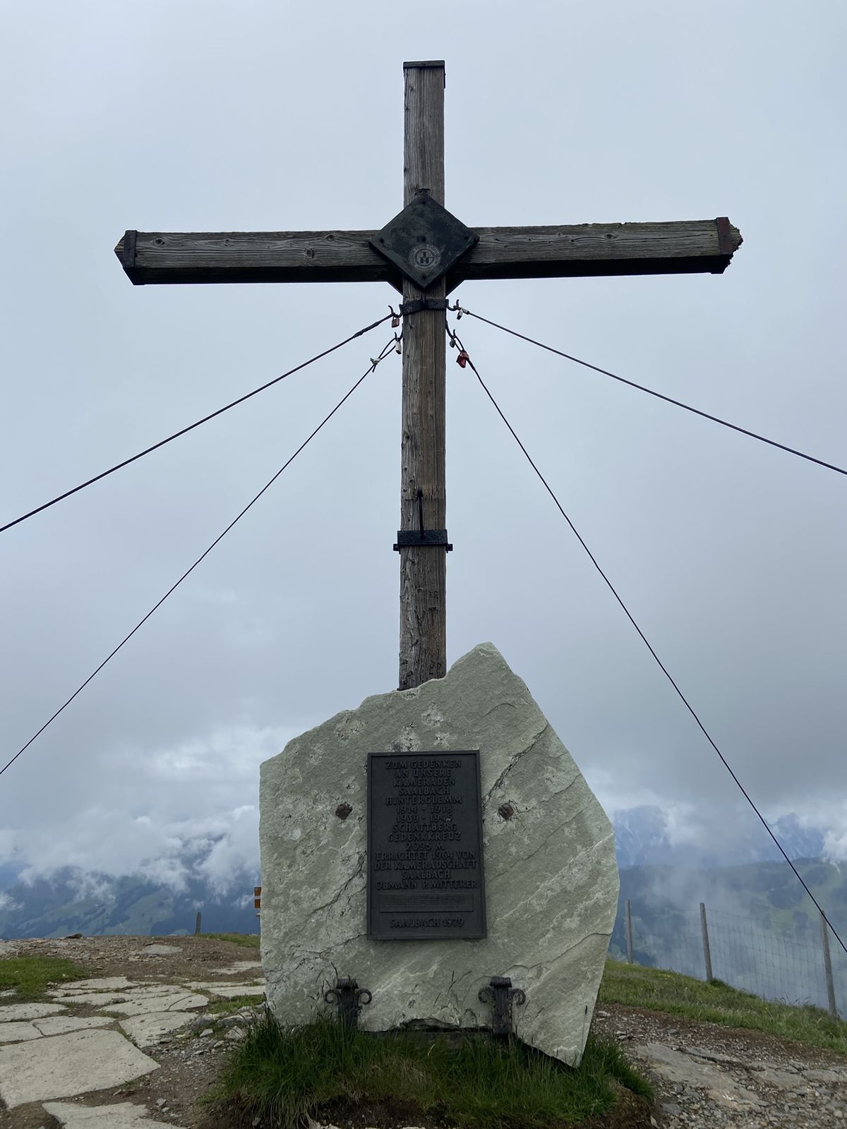
- 2,092 m


GPS Downloads


Other tours in the regions
-
Saalbach Hinterglemm
1594
-
Uttendorf - Weissee
368


