
- Brief description
-
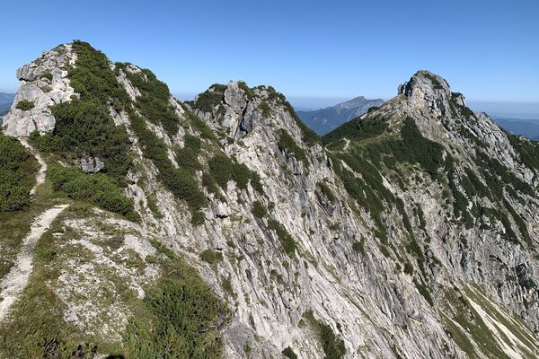
Panoramic hike above Salfelden - through the shady forest over the Teufelsgraben (ditch) with a stop for refreshments and a gondola ride with the Donnerkogel cable car.
- Difficulty
-
medium
- Rating
-
- Starting point
-
bus stop Strub
- Route
-
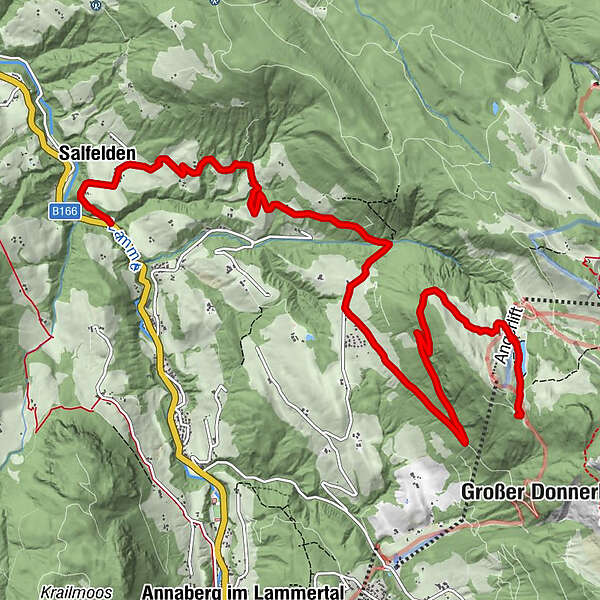
Salfelden0.8 kmEdt0.8 kmKlockau2.8 kmBraunötzhof5.3 kmRottenhofhütte9.7 km
- Best season
-
JanFebMarAprMayJunJulAugSepOctNovDec
- Directions
-
From the stop, cross the bridge onto hiking trail 180 to the "Obersalfeld" farmer. After the house, turn right onto the hiking trail. Cross the ditch, now you pass the country inn Unterschlag. Continue along the path and turn left onto hiking trail 51 in the direction of Teufelsgraben (ditch). Now you cross the mystical Teufelsgraben. After a short slight ascent, you reach the asphalt road. After a few hundred meters, turn left onto trail no. 50 past the Wöllhofsiedlung (housing estate). Follow the forest road to the Rottenhofhütte (hut) (1371m). Then follow the path to the mountain station Donnerkogelbahn. Departure with the gondola - the bottom station of the cable car is right next to the Astauwinkel bus station.
- Highest point
- 1,422 m
- Endpoint
-
valley station Donnerkogelbahn
- Height profile
-

- Equipment
-
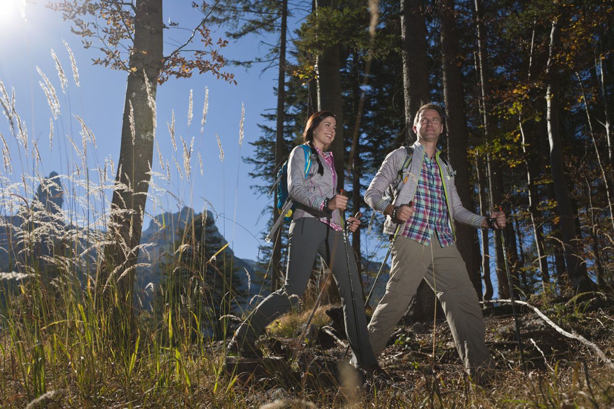
Sturdy shoes, walking sticks are recommended
- Tips
-
Make a stop at the Winterstellgut and enjoy the magnificent view.
A hearty snack with homemade products at the Rottenhofhütte is also recommended.
- Additional information
-
www.winterstellgut.at
www.dachstein.at/sommer/bergbahnen/donnerkogelbahn/betriebszeiten
- Directions
-
Via Tauernautobahn (highway) A10 exit Golling direction Abtenau. To Abtenau to the public free parking lot east. Local bus stop 3 min walk.
- Public transportation
-
boarding in Abtenau Postbus 471 to bus stop Strub
- Parking
-
Free parking at parking lot east.
-

-
AuthorThe tour Salfelden to Astauwinkl via Rottenhofhütte (hut) is used by outdooractive.com provided.