- Brief description
-
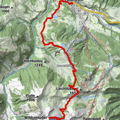
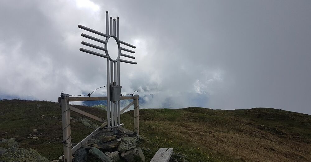
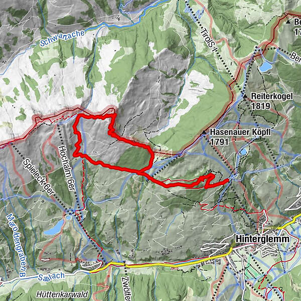
Panoramic circular route from the Reiterkogel gondola to the Hochalmspitze and back again.
- Difficulty
-
medium
- Rating
-
- Starting point
-
Reiterkogel gondola
- Route
-
Wieseralm0.0 kmRoßwaldhütte2.0 kmHochalmspitze (1,921 m)4.2 kmRoßwaldhütte6.8 kmWieseralm8.8 km
- Best season
-
JanFebMarAprMayJunJulAugSepOctNovDec
- Description
-
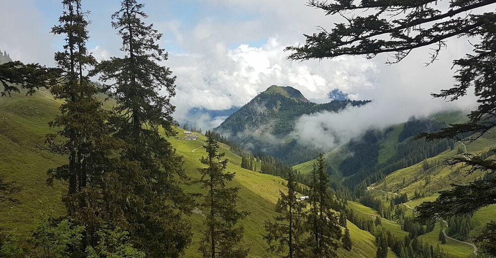
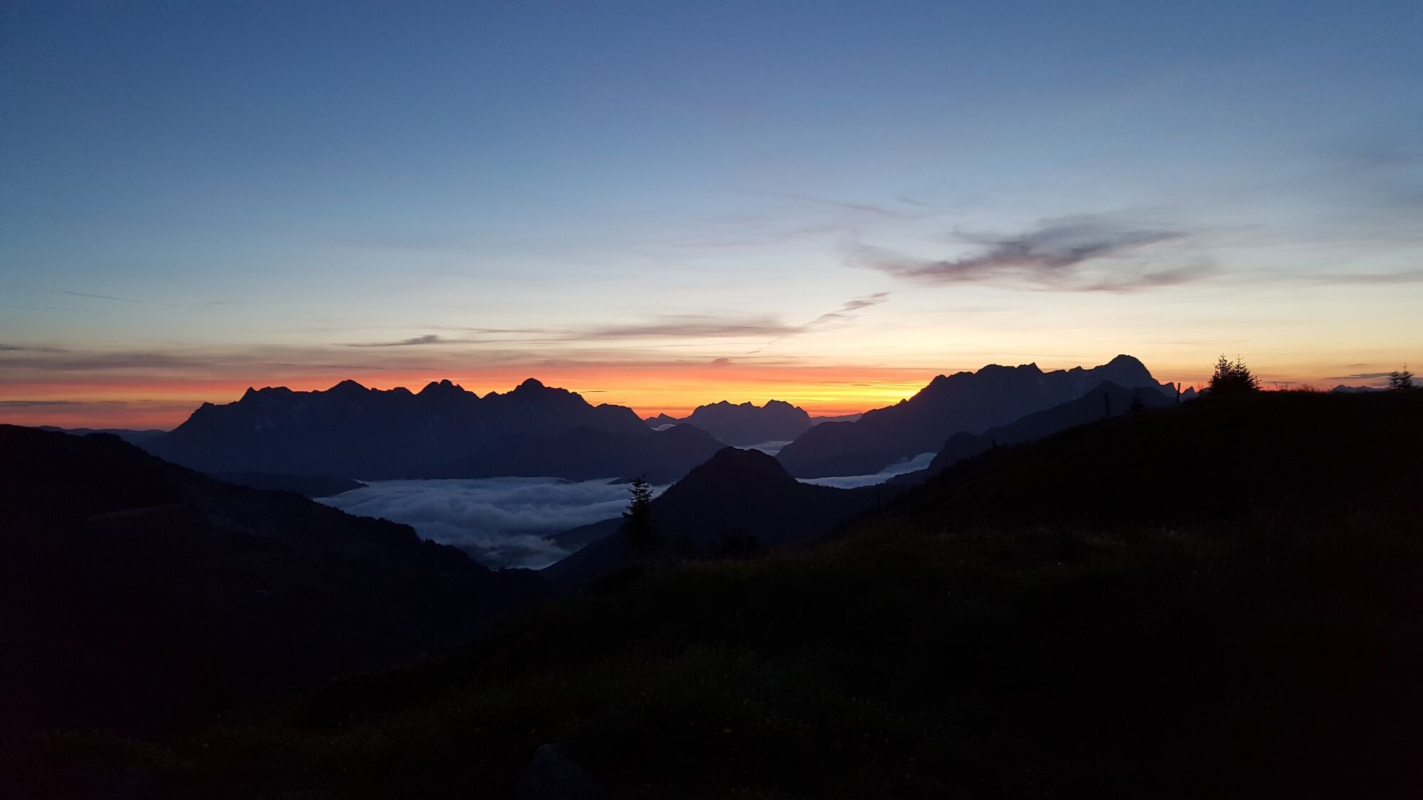
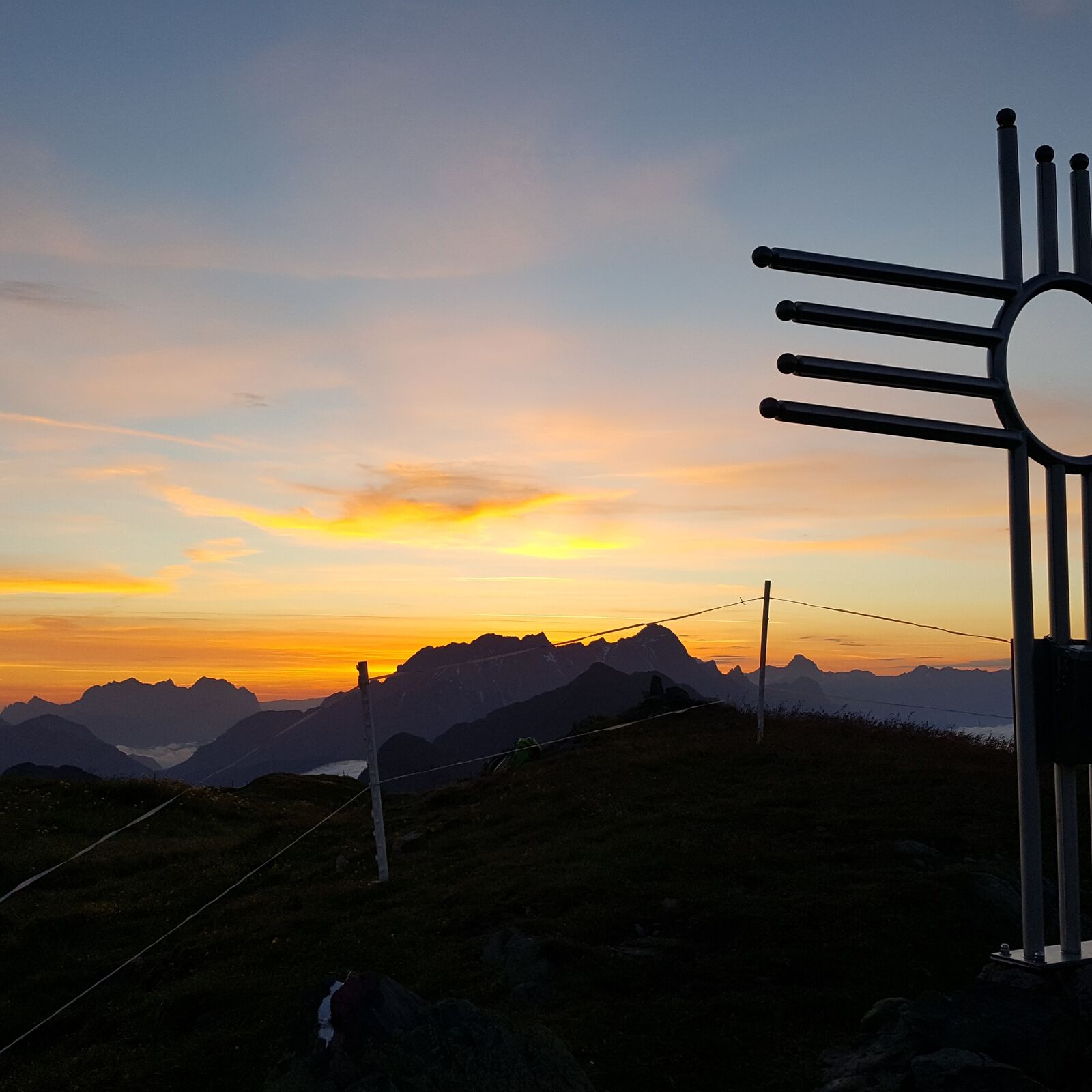
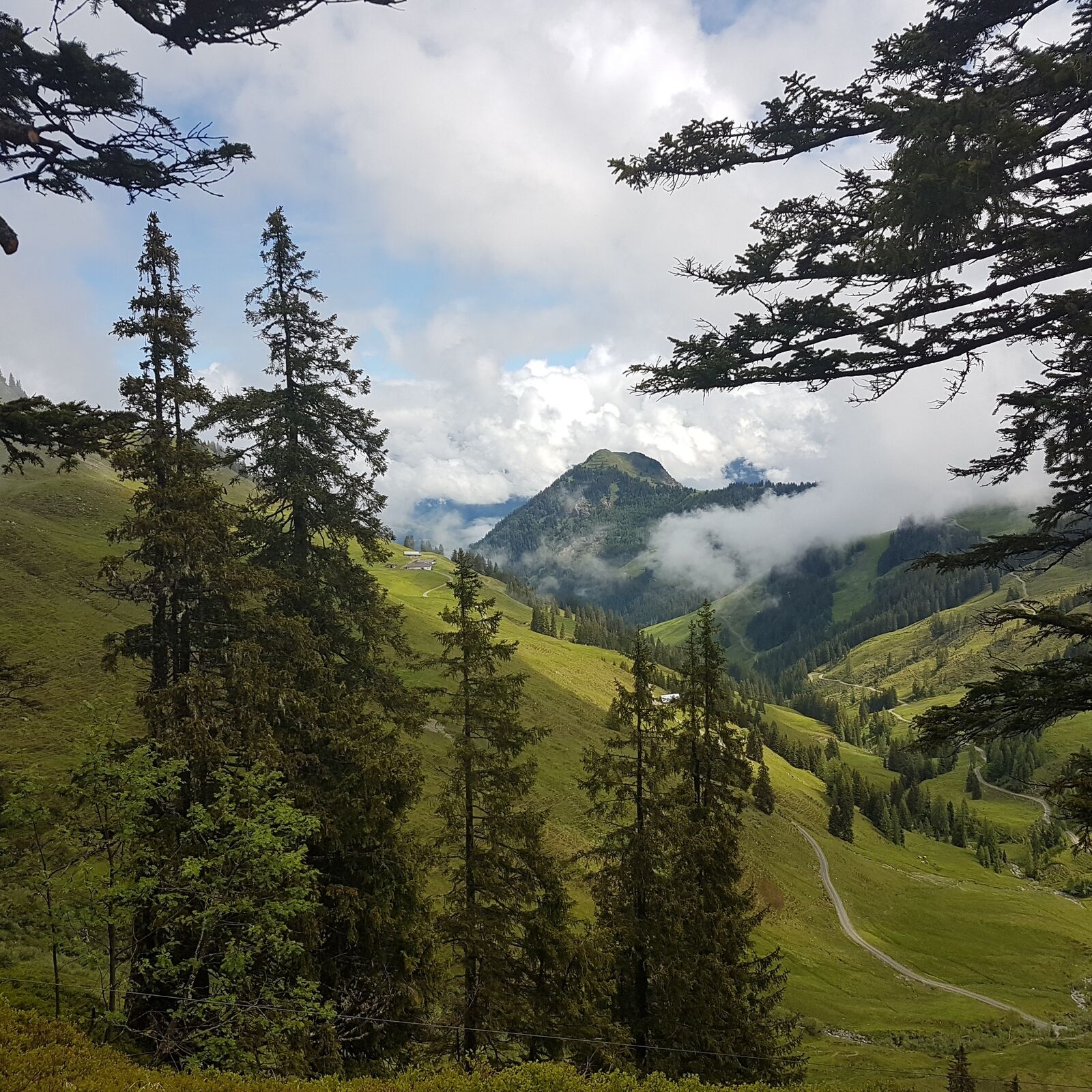
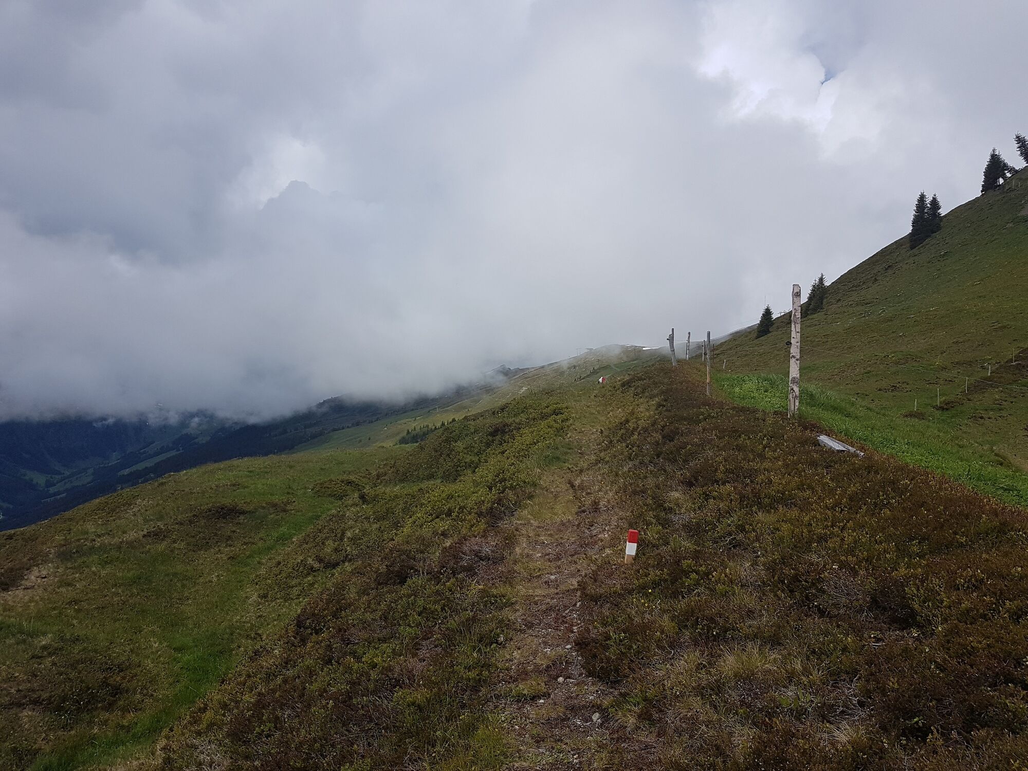
Very nice circular hiking trail. Starting on a forest road and later through forest and over alpine pastures to the Hochalmspitze summit.
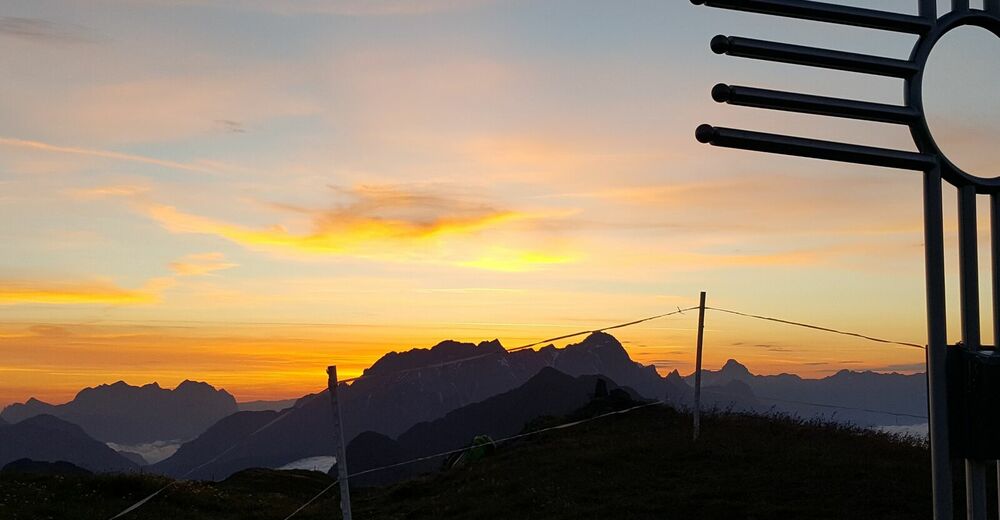
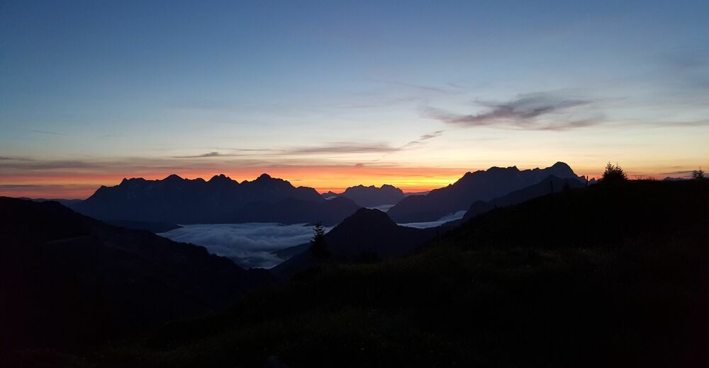
The whole tour offers beautiful panorama with the Kalkalpen in the north and the Hohe Tauern in the south.
- Directions
-
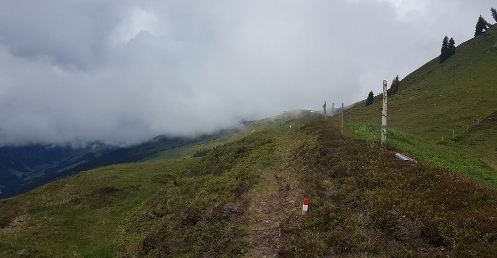
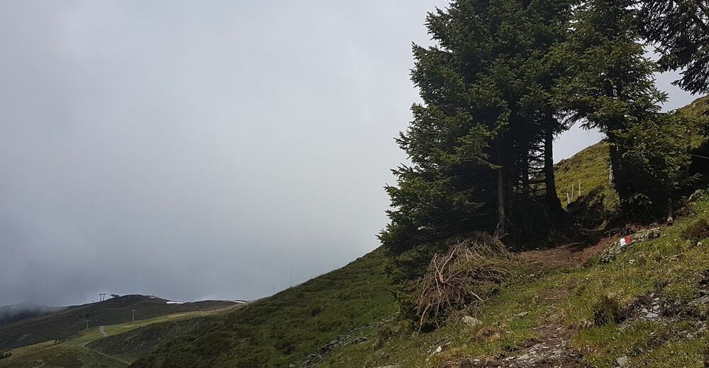
After the ascent with the Reiterkogel gondola, you walk along the forest road in the direction of the Rosswaldhütte, then in the direction of the chapel and below it to the right over the ditch. (Small bridge)
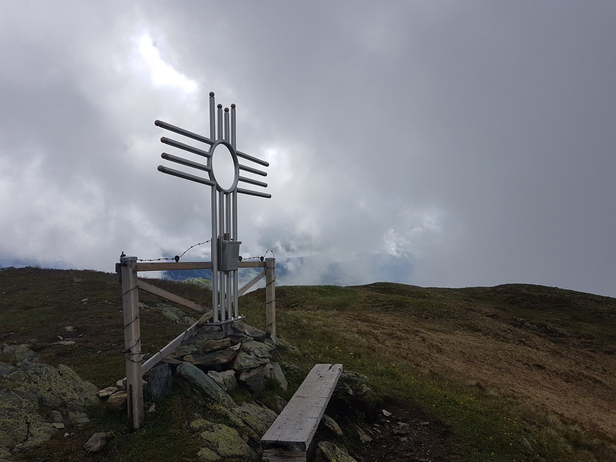
Now through the Rosswald and then a steep uphill over alpine pastures to the summit.
The descent goes along a hiking trail to the Hinterreichkendlhütte, which is not opened, and along the forest road first to the Rosswaldhütte and then back to the starting point.
- Highest point
- 1,914 m
- Endpoint
-
Reiterkogel gondola
- Height profile
-

- Equipment
-
We recommend general hiking equipment, hiking boots and poles.
- Safety instructions
-
The trail from the Rosswaldhütte to the summit is new, so mountain or hiking boots are advisable.
- Tips
-
Alternatively you can descend from the Hinterreichkendlhütte via the alpine oasis Sonnhof to Kolling.
- Additional information
-
Please take not of the operating hours of the Reiterkogel gondola.

-

-
AuthorThe tour Hochalmspitze 1921m is used by outdooractive.com provided.


General info
-
Saalbach Hinterglemm
1594
-
Fieberbrunn
410