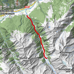
Tour data
12.1km
1,399
- 2,076m
156hm
809hm
03:30h

- Difficulty
-
medium
- Rating
-
- Route
-
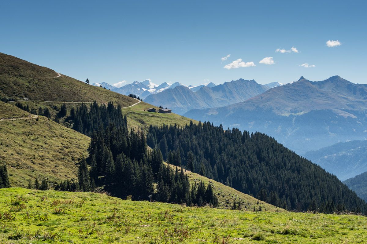
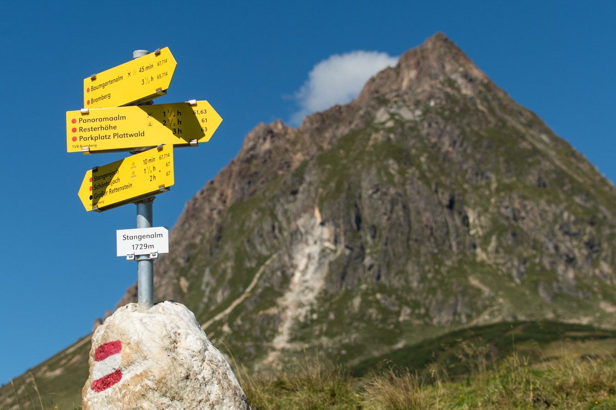
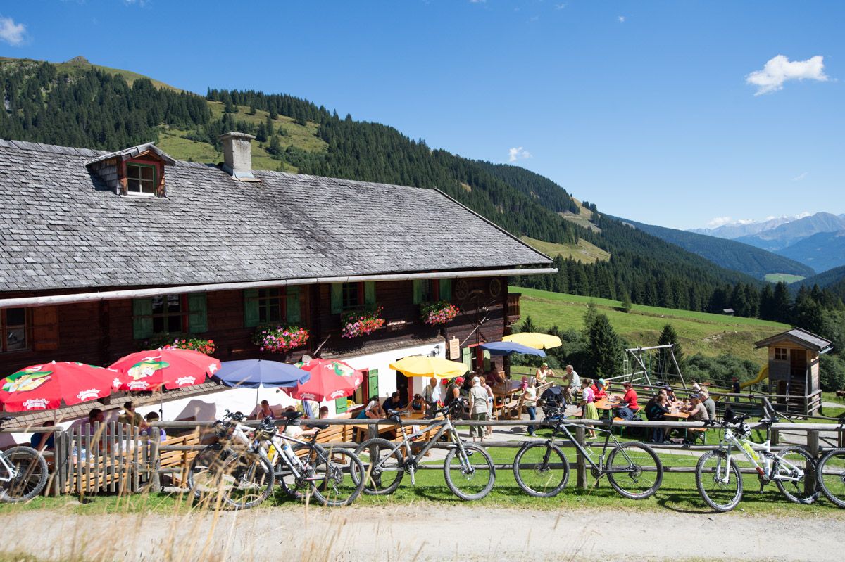
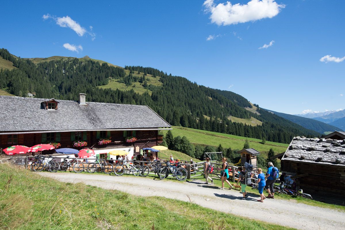
Bergrestaurant Skiarena Wildkogel0.1 kmKinderspielplatz0.1 kmGanzeralm0.2 kmGensbichlscharte (2,021 m)0.9 kmWolkenstein1.0 kmHerrensteigscharte (2,028 m)4.0 kmGernscharte (1,976 m)6.5 kmSteinfeldjoch (1,995 m)7.6 kmBaumgartenalm12.1 km
- Best season
-
JanFebMarAprMayJunJulAugSepOctNovDec
- Highest point
- 2,076 m
- Endpoint
-
Bergstation der Wildkogelbahn oder Baumgartenalm
- Height profile
-


- Author
-
The tour Neukirchen: Herrensteig is used by outdooractive.com provided.
GPS Downloads


General info
Refreshment stop
A lot of view
Other tours in the regions