
- Brief description
-
Should only be undertaken by those with good alpine experience or in the company of a mountain guide.
- Difficulty
-
difficult
- Rating
-
- Starting point
-
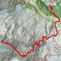
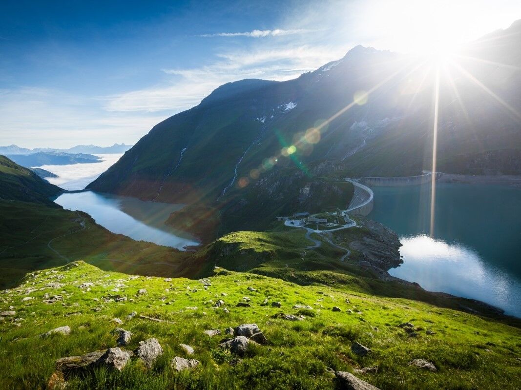
Wall of the Mooderboden dam
- Route
-
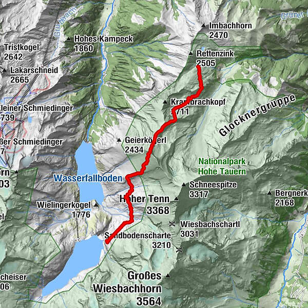
Kempsenkopf (3,090 m)4.8 kmObere Jägerscharte (2,752 m)5.6 kmGleiwitzer Hütte8.8 km
- Best season
-
JanFebMarAprMayJunJulAugSepOctNovDec
- Description
-
From Mooserboden up to the Bratschen and Kempsenkopf to the Gleiwitzer Hütte.
- Directions
-
To begin this walk, take the bus up to the Mooserboden. From here cross over the Mooser and Drossen dam and then proceed in the direction of the Heinrich Schwaiger-Haus. After approximately 200 metres bear towards the north. Proceed along the level terrain of
the Hang Canals and ascend up past the Wielinger catchment area before descending about 50 m just before the catchment area.
Now make your way climbing up through mountain pastures to the Hauseben. From here continue rising in windings up to the Bratschen to the Kempsenkopf (difficult stages safe-guarded with a rope). From here the path forks, leading in one direction to the
Gleiwitzer Hütte and in the other to the summit climb of the Hohen Tenn.
The ascent up to the Hohen Tenn (3,317 m) proceeds over the ridge to the Bauernbrachkopf (3,125 m) and then continues to the Kleinen Tenn (key point) and from here over the ridge to the Schneetenn. The ascent is graded between levels 3 and 4, depending on the weather situation, and is very exposed in places. The more difficult stages are safe-guarded with fixed ropes. Should only be undertaken by those with good alpine experience or in the company of a mountain guide. To descend to the Gleiwitzer Hütte (2,174 m), make your way from the Kempsenkopf over the ridge to the upper Jägerscharte, over a peaked point to the lower Jägerscharte and continue over grazing land to the Gleiwitzer Hütte.
This route is also very exposed in places and care is needed, especially in bad weather conditions (only for the sure-footed). The more difficult stages are safe-guarded with a fixed rope.
- Highest point
- 3,015 m
- Endpoint
-
Gleiwitzer hut or Hoher Tenn
- Height profile
-

- Safety instructions
-
The more difficult stages are safe-guarded with fixed ropes. Should only be undertaken by those with good alpine experience or in the company of a mountain guide.
- Public transportation
-
by bus 660 to Kesselfall and then by shuttle buses up to the dams
-

-
AuthorThe tour Max-Hirschl-Weg is used by outdooractive.com provided.