


- Brief description
-
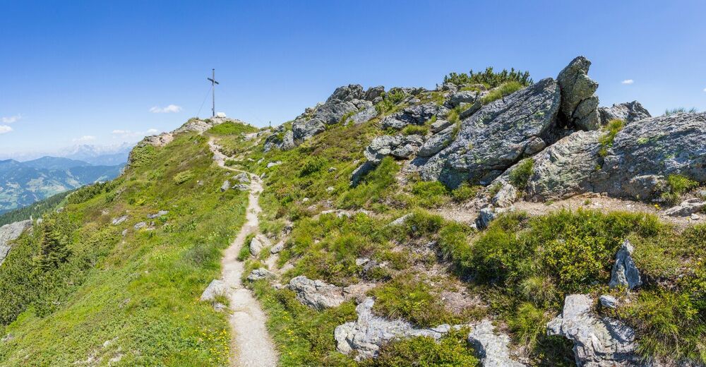
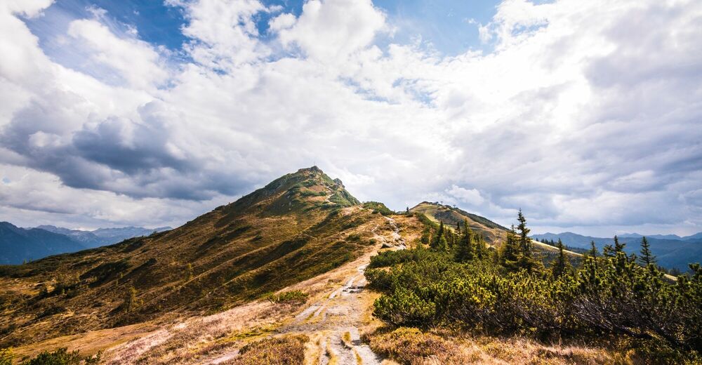
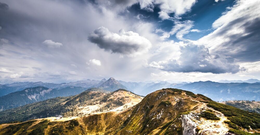
This hike offers a great 360° panoramic view including peak experience.
- Difficulty
-
difficult
- Rating
-
- Starting point
-
Parking lot in the center of Flachau
- Route
-
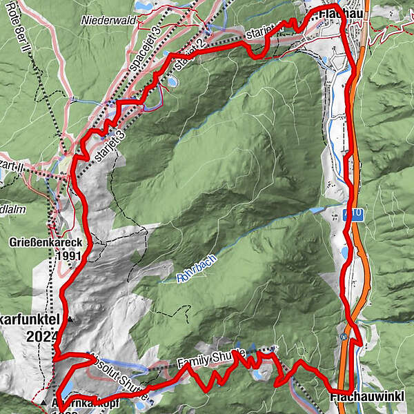
Flachauspacejet 35.9 kmstarjet 36.3 kmGrießenkareck (1,991 m)7.1 kmSaukarfunktel (2,024 m)8.2 kmSaukarkopf (2,014 m)8.6 kmAbsolut Shuttle9.3 kmPowder Shuttle11.2 kmFrauenalm11.5 kmSunshine Shuttle14.9 kmWinklalm14.9 kmFlachauwinkl16.7 kmSeestüberl18.9 kmFlachau21.9 km
- Best season
-
JanFebMarAprMayJunJulAugSepOctNovDec
- Description
-
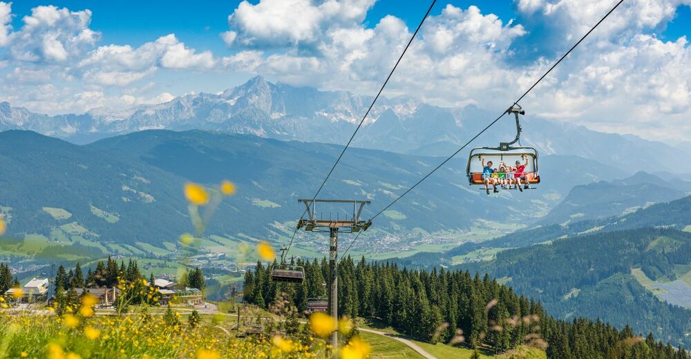
If you don't want to miss the wonderful panorama at the summit and want to save some energy at the beginning of the hike, you can take the starjet 1 + 2 up to the Gasthof Latschenhof during the operating hours of the Flachau mountain railways.
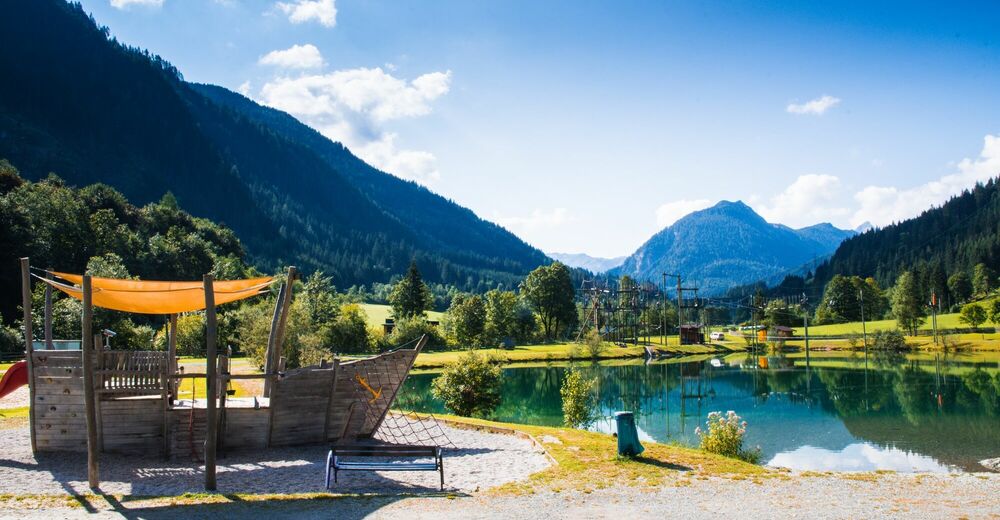
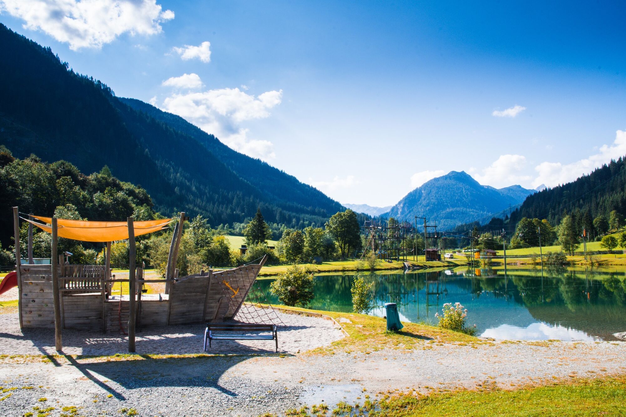
Bathing possibility at the restaurant Seestüberl.
Possibility for lunch: Zum Holzwurm, Waldgasthof, Hofalm, Jandlalm, Latschenhof, Frauenalm, Seestüberl
- Directions
-
Flachau center - towards valley station starjet 1 & 2 - to Pfeiffei Alm - cross the field to hiking path Nr. 42 - carry on path Nr. 41/42 - turn right above the "Berggasthof Latschenhof" - pass the War Memorial crosses and follow the track to the Grießenkareck (1991 m) - carry on via Saukarfunktel (2028 m) - to Saukarkopf (2024 m) - junction Frauenalm Nr. 41 - walk further to the valley Flachauwinkel Nr. 45 - from there walk towards Flachau Nr. 1 or take the Sportwelt-Bus from the bus stop "Flachau Steinfeld"
During the operating hours of the Flachau cable cars, the ascent to Berggasthof Latschenhof is possible with the starjet 1 & 2 cable cars.
- Highest point
- 1,986 m
- Endpoint
-
Parking lot in the center of Flachau
- Height profile
-

- Equipment
-
The basic equipment of a hiker includes:
o sturdy, high shoes with a grippy sole
o suitable mountain clothing
o enough to drink
o snacks for in-between
o sunglasses, sunscreen or rain protection if necessary
o mobile phone
o walking sticks
o First aid kit
- Safety instructions
-
Planning & preparation: Precise tour planning is recommended before every mountain tour. Information from local experts such as mountain guides or hut keepers as well as hiking maps will help you.
Check the weather forecast: A must-do before every hike. The weather can change unexpectedly in the mountains. Keep an eye on the current weather conditions at: www.zamg.ac.at.
Important tips:
o Do not overestimate yourself
o Manage your strength and endurance well
o assess your surefootedness and head for heights
o Do not step on stones
o turn around in good time if the weather changes Mountain rescue number: The telephone number 140 is the emergency number for alpine accidents in Austria.
- Tips
-
At the tourist info Flachau you get a hike map with information to this tour.
- Additional information
- Directions
-
to Flachau centre
- Public transportation
-
From June to September, the Sportweltbus is the ideal shuttle service for your hiking tours in the entire region (Flachau, Wagrain-Kleinarl, St. Johann-Alpendorf, Radstadt, Altenmarkt-Zauchensee, Eben, Filzmoos, Obertauern, Großarl & Hüttschlag).
With the Flachau Summer Card you can use the Sportweltbus for only Euro 1,00 per person and route. Children under 6 years travel free!
More information at: https://www.flachau.com/en/more/information/sportweltbus.html
Further connections: www.salzburg-verkehr.at
- Parking
-
Parking possibilities are available at the center of Flachau (BBF-Center & Minigolf).


-

-
AuthorThe tour Flachau - Grießenkareck - Frauenalm - Flachauwinkl is used by outdooractive.com provided.


General info
-
Katschberg Lieser-Maltatal
2554
-
Salzburger Sportwelt
2193
-
Flachau
615


