- Brief description
-
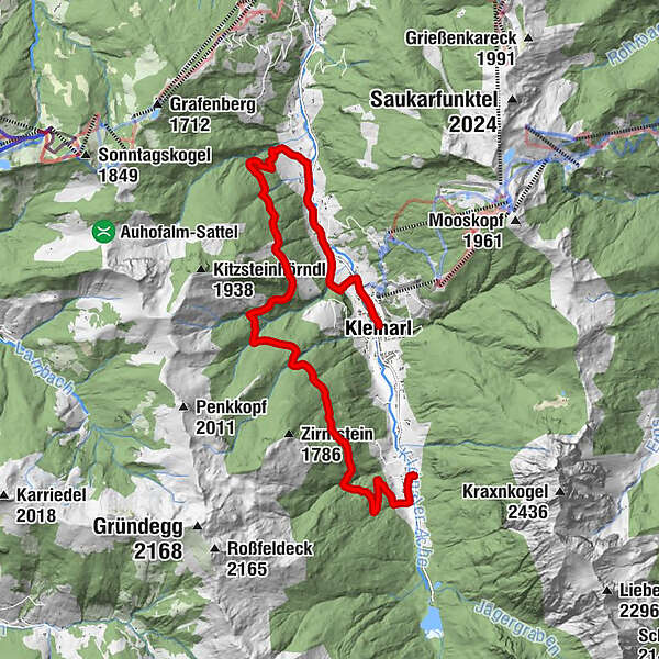
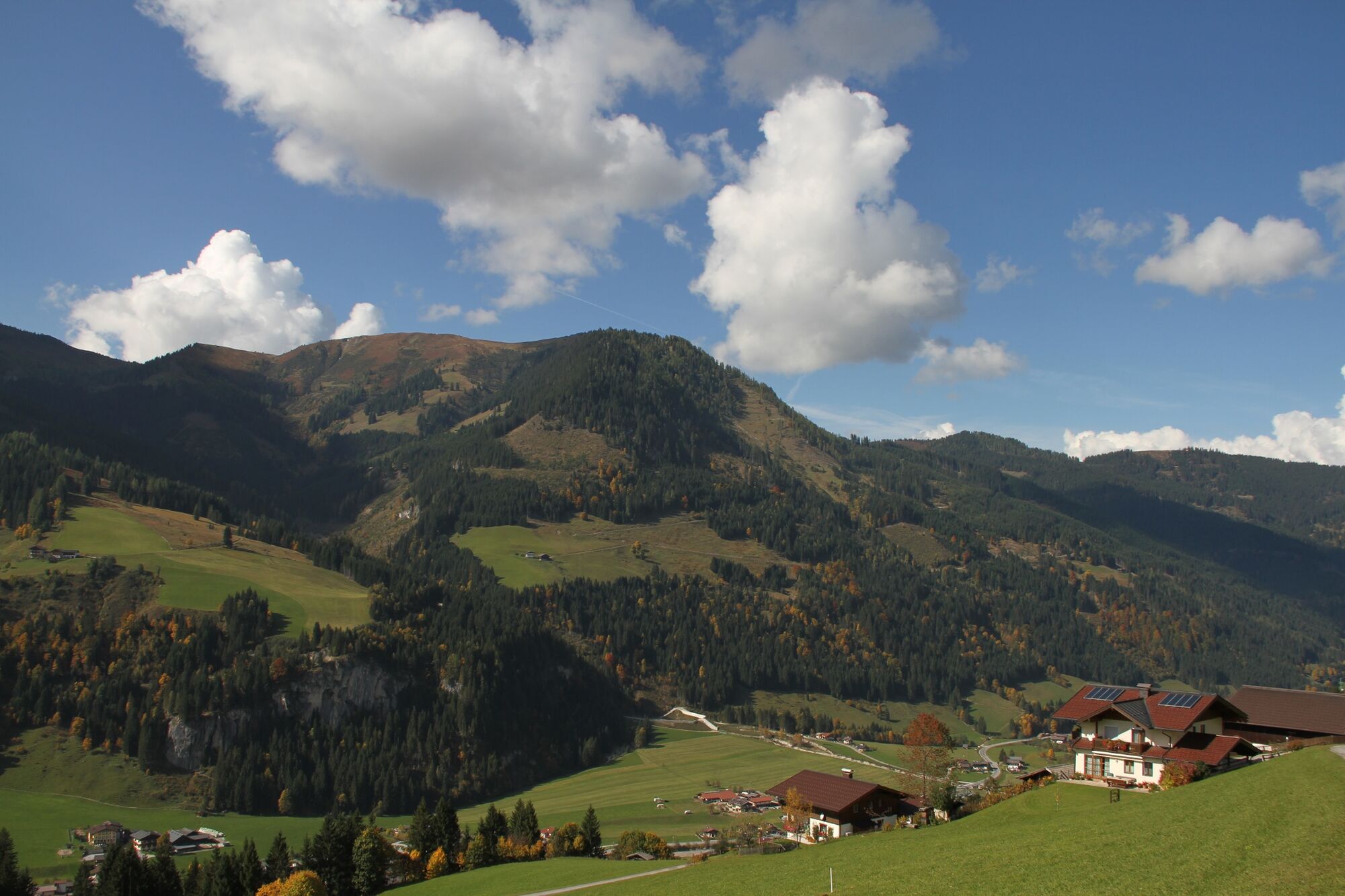
Easy hike on a forest road through the forest above Kleinarl.
- Difficulty
-
medium
- Rating
-
- Starting point
-
Öbristdörfl (Hinterkleinarl)
- Route
-
Hinterkleinarl0.5 kmVorderkleinarl9.4 kmKesselfall13.2 kmBotenwirt13.8 kmKleinarl14.7 km
- Best season
-
JanFebMarAprMayJunJulAugSepOctNovDec
- Description
-
Starting from Öbristdörl, the path leads along the bike and hiking path towards Jägersee. After approx. 200 m turn right into Öbristwaldstrasse (path no. 73). The road leads after a number of serpentines into the high forest, then crosses it to the ascent (approx. 45 minutes) to the Kleinarler hut (managed). From here it is possible to descend on the marked path to Kleinarl (Hirschleiten) or continue on the road to the Sauwald.
From there, the Strasser falls back into the valley in serpentines. Arrived in the valley via the Mitterauweg on hiking trail no.1.
You can either follow the path to the starting point or take the hiking bus.
- Highest point
- 1,447 m
- Endpoint
-
Mitterauweg (between Wagrain - Kleinarl)
- Height profile
-

- Directions
-
Via Wagrain to Kleinarl.
- Public transportation
-
With the hiking bus to the center of Kleinarl.
- Parking
-
Hikers' car park in Kleinarl at the entrance to the village.
-

-
AuthorThe tour Öbristwaldstraße -Sauwaldstraße is used by outdooractive.com provided.