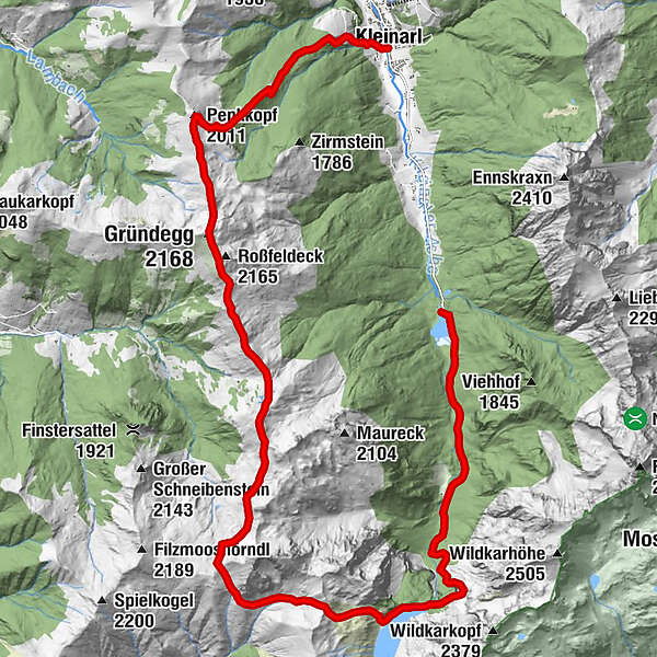
Kleinarl- Penkkopf- Gründegg- Loosbühel - Tappenkarsee - Jägersee


- Brief description
-
Demanding but extremely rich high-altitude hike from Kleinarl via the Penkkopf, Gründegg, Loosbühel, Draugsteintörl, the Tappenkarsee to the Jägersee.
- Difficulty
-
difficult
- Rating
-
- Starting point
-
Kleinarl town center
- Route
-
KleinarlKleinarler Hütte3.3 kmPenkkopf (2,011 m)4.5 kmGründegg (2,168 m)6.4 kmKlaussattel8.5 kmTappenkarsee Alm16.3 kmMaterialseilbahn Tappenkaralm19.6 kmGasthaus zum Jägersee23.2 km
- Best season
-
JanFebMarAprMayJunJulAugSepOctNovDec
- Description
-
The starting point for this high-altitude hike is the center of Kleinarl. Now follow the well-signposted hiking trail alternately across meadows and through sparse forest in about 2 hours to the Kleinarler hut. The hut is beautifully embedded between Penkkopf and Gründegg and spoils hikers with culinary delights with the popular hut classics.
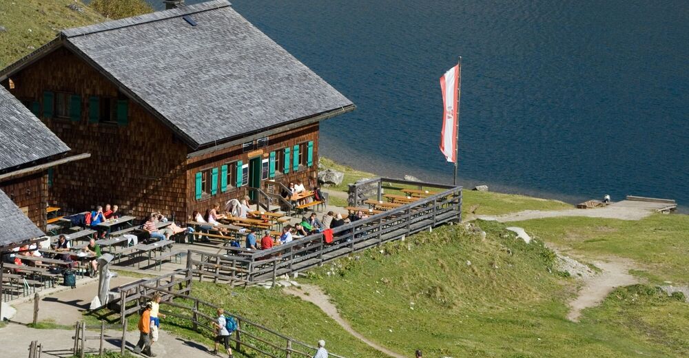
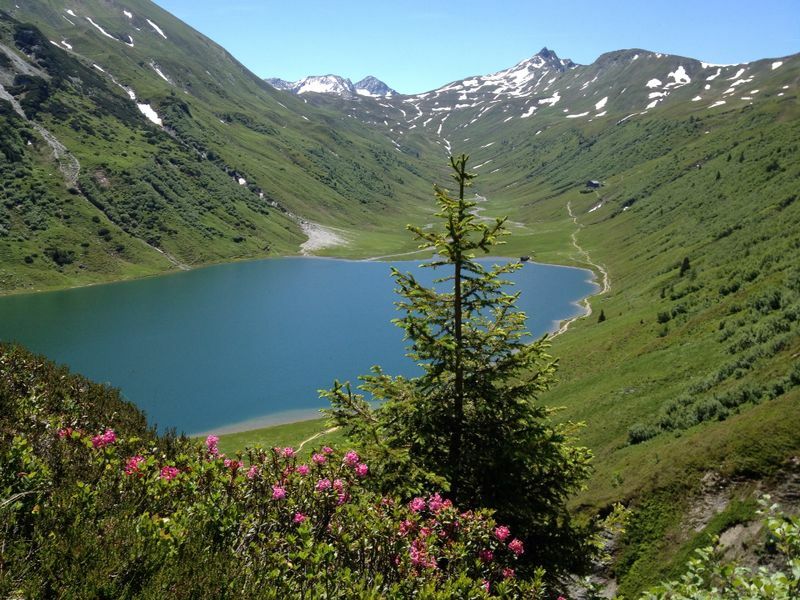
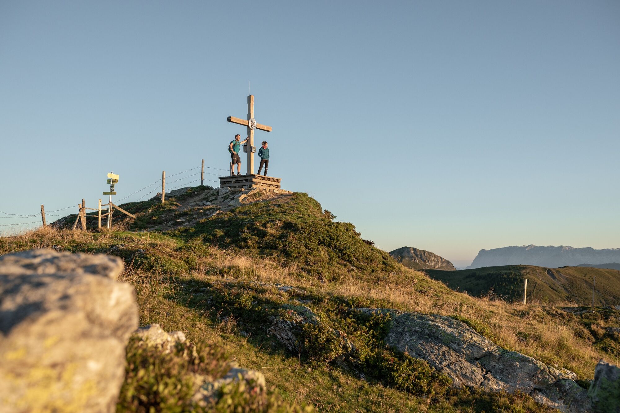
From the Kleinarler Hütte you can reach the summit of the Penkkopf via an easy path. You will be rewarded at the summit with a fantastic 360 ° alpine panorama. From the summit of the Penkkopff you follow the degree, over the Gründegg, the Klaussattel, over the Filzmooshöhe, past the Draugstein, to the Draugsteintörl and down to the Tappenkarsee and the Tappenkarseealm.
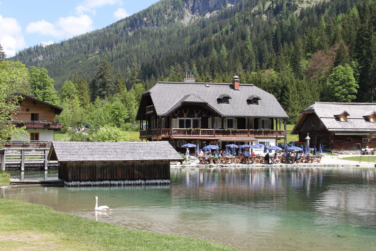
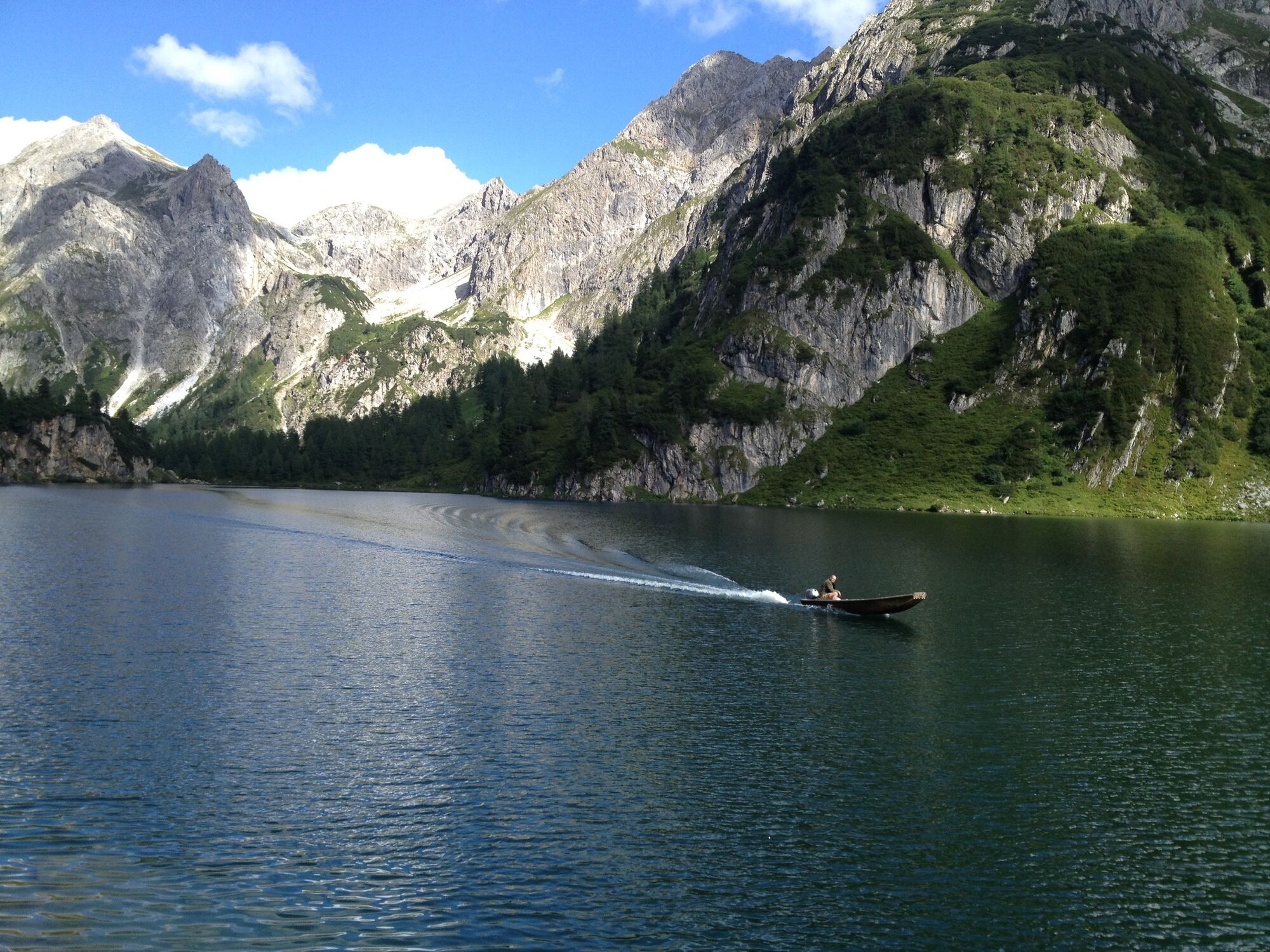
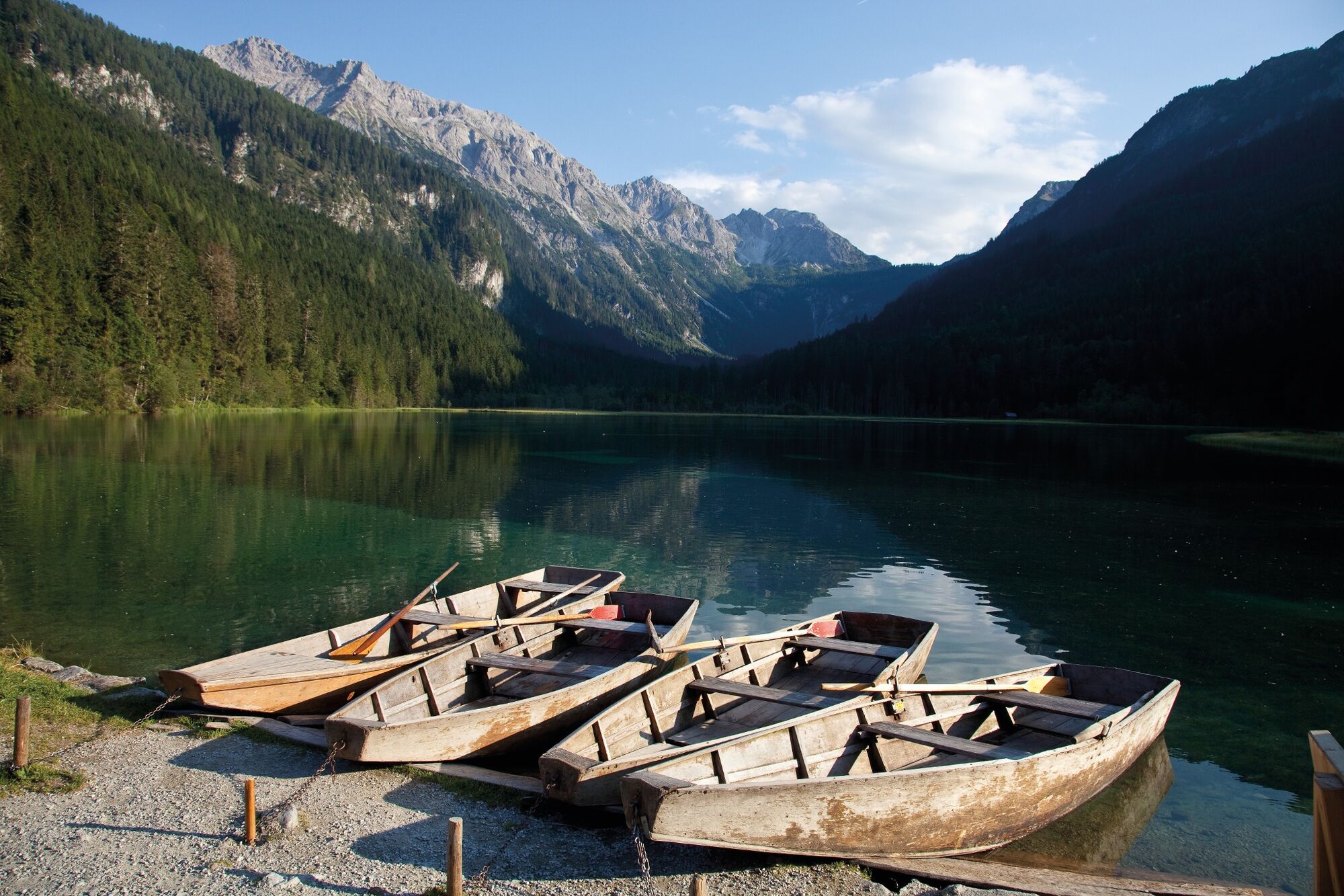
After refreshment at the Tappenkarseealm, you descend to the Jägersee. Here, too, it is worth stopping at Gasthaus Jägersee to enjoy the last rays of sunshine on the terrace directly on the lake.
From the Jägersee inn, the hiking bus takes you back to Kleinarl.
- Directions
-
The starting point for this high-altitude hike is the center of Kleinarl. Now follow the well-signposted hiking trail No. 712, alternating across meadows and through sparse forest in about 2 hours to the Kleinarler Hütte. From the Kleinarler Hütte you can reach the summit of the Penkkopf in about 45 minutes via an easy path. You will be rewarded at the summit with a fantastic 360 ° alpine panorama. From the summit of the Penkkopff follow path no.87 over the mountain degree to Gründegg, on to the Klaussattel, over the Filzmooshöhe (turn left here), past the Draugstein, to the Draugsteintörl and down to the Tappenkarsee and the Tappenkarseealm.
From the Alm you follow path no. 722 along the Tappenkar lake in many serpentines, past a waterfall and through the forest to the Schwabalm. Now follow the path until you come to the Jägersee. The path on the right bank of the river leads to the Gasthaus Jägersee, where the hiking bus stop is located. Return to Kleinarl by bus.
- Highest point
- 2,129 m
- Endpoint
-
Gasthaus Jägersee, bus stop
- Height profile
-

- Equipment
-
solid footwear
- Directions
-
Via Wagrain to Kleinarl, town center.
- Public transportation
-
With the hiking bus to Kleinarl (town center).
- Parking
-
In the center of Kleinarl.

-

-
AuthorThe tour Kleinarl- Penkkopf- Gründegg- Loosbühel - Tappenkarsee - Jägersee is used by outdooractive.com provided.


