ON THE TRAIL OF HERBS - from the Arbesreitalm to the Hinterjetzbachalm


- Brief description
-
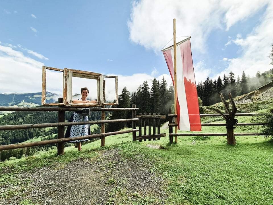
A scenic hike past the Obersteghof to the Arbesreitalm and Hinterjetzbachalm - three herbal pastures in one fell swoop.
- Difficulty
-
medium
- Rating
-
- Starting point
-
Tourist office Maria Alm
- Route
-
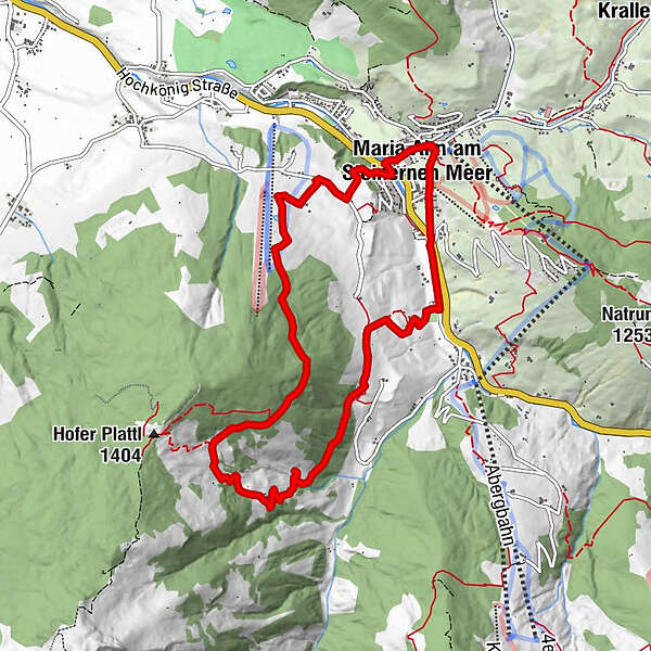
Wallfahrtskirche Maria Alm0.1 kmRaum der Stille0.1 kmMaria Alm am Steinernen Meer0.2 kmArbesreitalm3.9 kmHinterjetzbachalm4.6 kmAusblick auf Hochkönig6.6 kmHinterreit8.1 kmFriedenskapelle9.2 kmSchloßberg9.6 kmMaria Alm am Steinernen Meer10.0 kmWallfahrtskirche Maria Alm10.2 km
- Best season
-
JanFebMarAprMayJunJulAugSepOctNovDec
- Description
-
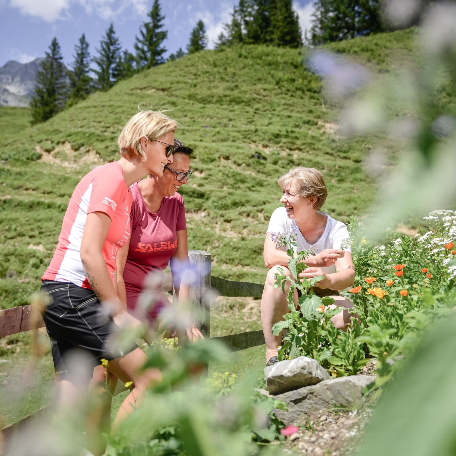
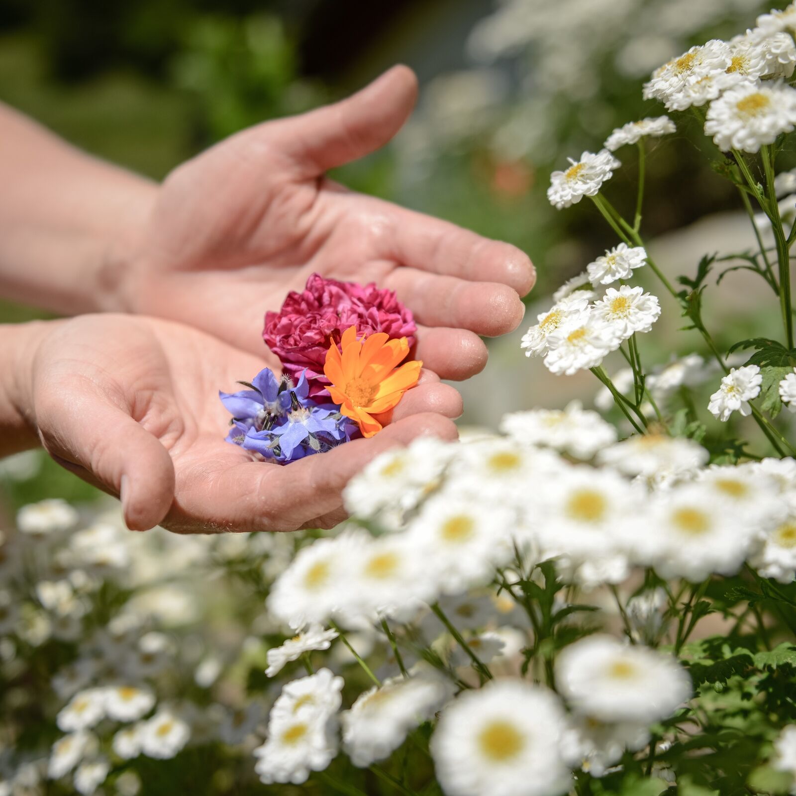
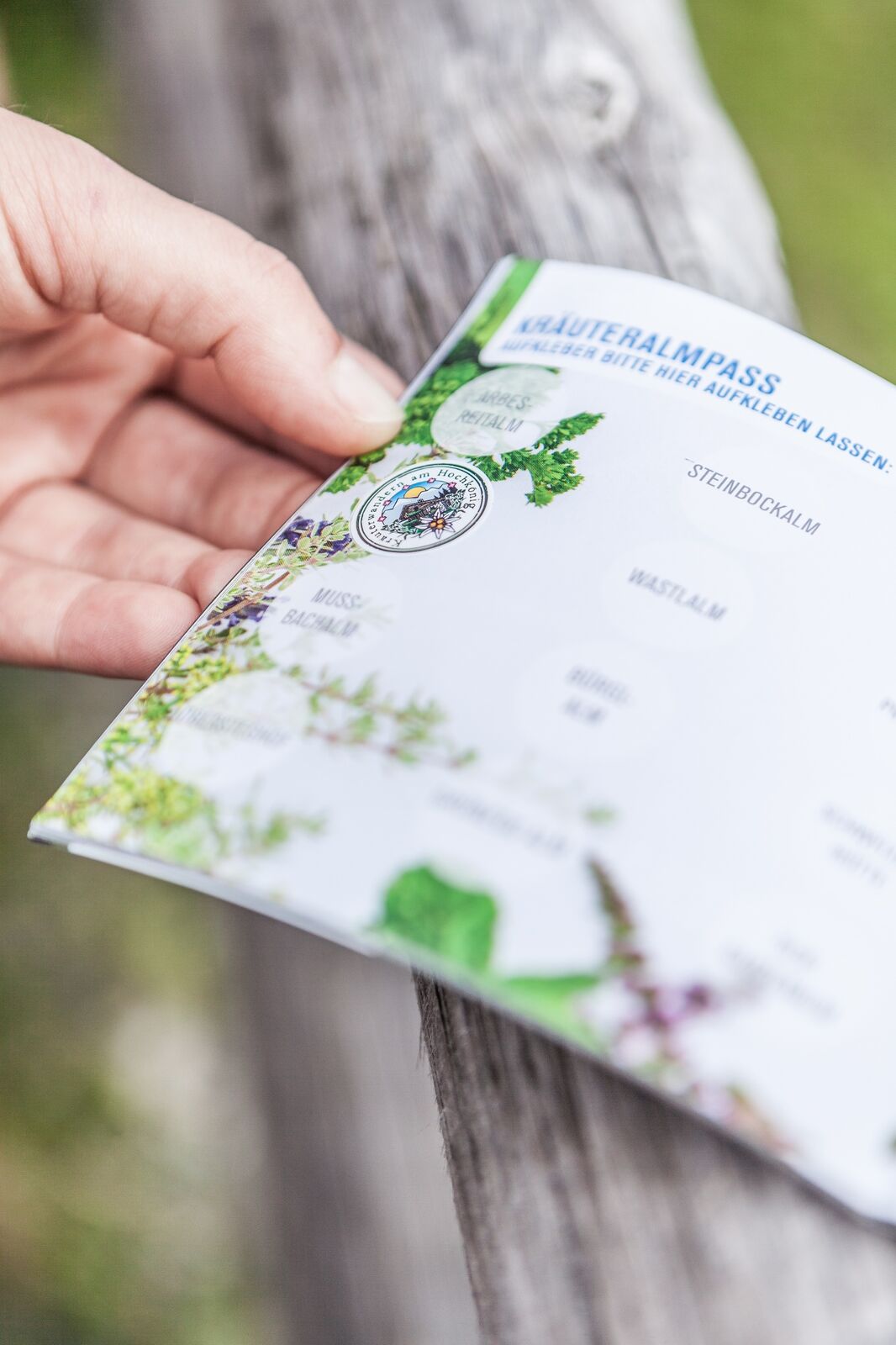
There is much to discover on this tour! At Obersteghof we will be initiated into natural cosmetics (courses by appointment with Rosi Rainer, T: +43 680 4033800) and also at the Arbesreitalm and the Hinterjetzbachalm the knowledge about the herbs on the Hochkönig will be expanded.
- Directions
-
One thing we can promise - this circular hike is not short on enjoyment.
Start at the Maria Alm tourist office in the direction of the Natrunbahn cable car, but turn off shortly before and follow the cemetery wall for about 200 metres to Urchenstraße. Past the Haus der Begegnung, the kindergarten and the primary schools, this road finally leads to the Hochkönig Bundesstraße. Cross this road and walk over the bridge, always following the Urslau upwards to the football pitch. There, a wide Schotteweg leads up to the Obersteghof farm.In the last bend below the Obersteghof, a narrower trail branches off and leads along a small stream to trail no. 27. Here you keep to the left and follow the path to the Arbesreitalm/Mitterstegenalm at 1,090 metres. Now it's time to fortify yourself, and the best way to do that is with the guaranteed best herbal delicacies that are served here. From the sun terrace, you can already catch a glimpse of the next stage destination - the Hinterjetzbachalm.
Even if it is not far to get there, with one of the tasty herbal liqueurs or schnapps in your stomach, the hike is even more exhilarating.Continue on trail no. 27 up to the Oberstegalm (not managed), which you pass and take the Wiesensteig trail to the right at the crossroads, which leads via trail no. 446 to the Hinterreit inn. On the road below the inn, keep left and follow the path that takes you back to the main road to Maria Alm. - Highest point
- 1,288 m
- Endpoint
-
Tourist office Maria Alm
- Height profile
-

- Equipment
-
Sturdy, ankle-high footwear
Walking sticks
Headgear
Sun protection
Sunglasses
Rain protection
Drinks and a snack
Necessary medication
First aid kit
Hiking map - Safety instructions
-
Self-assessment Check your physical fitness before every mountain tour and correctly assess your strength as well as that of your companions - especially those of your children! Surefootedness and a head for heights are often very important!
Planning and preparation Plan each intended mountain tour in detail beforehand. Hiking maps and guides as well as information from alpine associations and local experts such as mountain guides and mountain hut keepers can be helpful.
Equipment On the mountain, you will need appropriate equipment and clothing, especially sturdy, high shoes with good grip soles. Weather and cold protection are essential, as the weather can often change unexpectedly.
Weather forecasts Take note of the current weather conditions at: www.zamg.at
Together Follow the 10 rules for the correct handling of grazing animals and do not leave any waste in nature!
Do not kick stones Do not kick stones as this can seriously endanger other hikers. Marked places with a danger of falling rocks should be crossed as quickly as possible and with attention and caution.
Turn back in good time This is not a disgrace, but a sign of common sense. It becomes necessary when the weather changes, fog rolls in, and also when the path is too difficult or not in good condition.Emergency numbers: Alpine emergency call: 140
International emergency call: 122 - Tips
-
At Obersteghof you can book courses on natural cosmetics.
- Additional information
- Directions
-
Coming from Salzburg: Take the A10 motorway to the Bischofshofen exit, then take the B311 towards Bischofshofen. Follow the Hochkönig Bundesstraße/B164 to Maria Alm.
Coming from Innsbruck/ Kufstein: Take the Loferer Straße/B178 in the direction of St. Johann i.T., then follow the Hochkönig Bundesstraße/B164 via Saalfelden to Maria Alm.
A valid vignette is required to use the Austrian motorway and motorway network. It is also compulsory to carry a first-aid kit, warning triangle and high-visibility waistcoat. Further information can be found under Asfinag. - Public transportation
- Parking
-
Free parking at the beginning of the village and in the center of Maria Alm

- Author
-
The tour ON THE TRAIL OF HERBS - from the Arbesreitalm to the Hinterjetzbachalm is used by outdooractive.com provided.


General info
-
Saalfelden - Leogang
1814
-
Maria Alm
489


