© xxlstier
© xxlstier
© xxlstier
© xxlstier
© xxlstier
© xxlstier
Tour data
3.78km
670
- 1,128m
465hm
465hm
04:00h

- Brief description
-
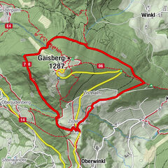
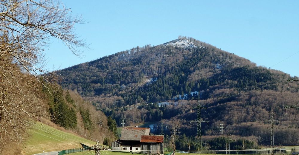
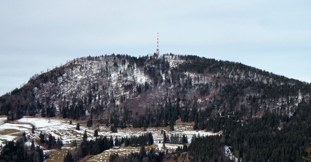
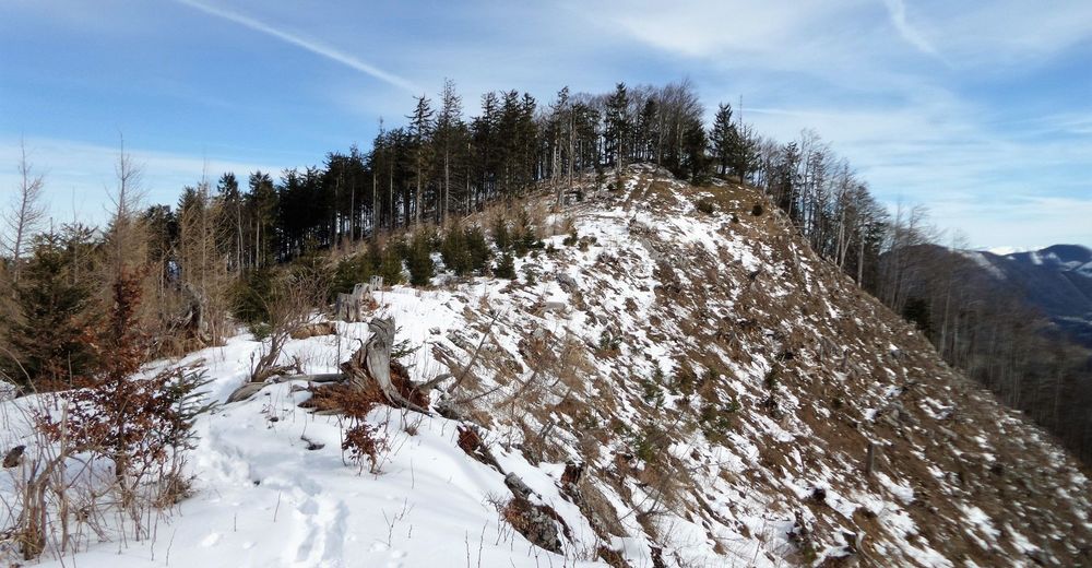
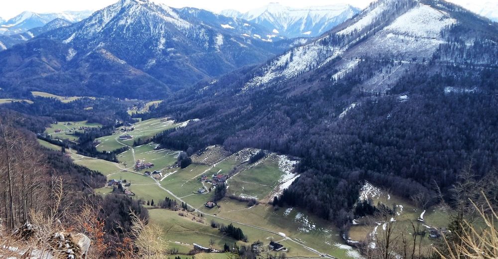
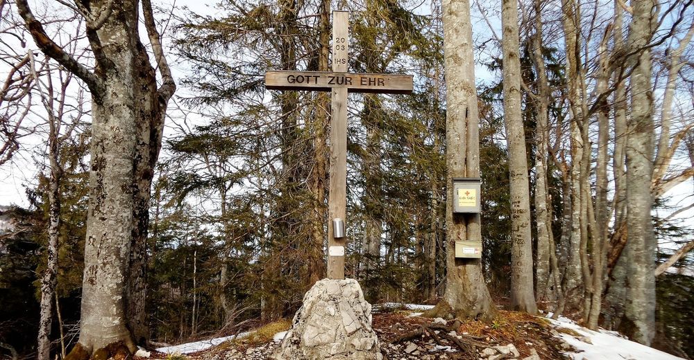
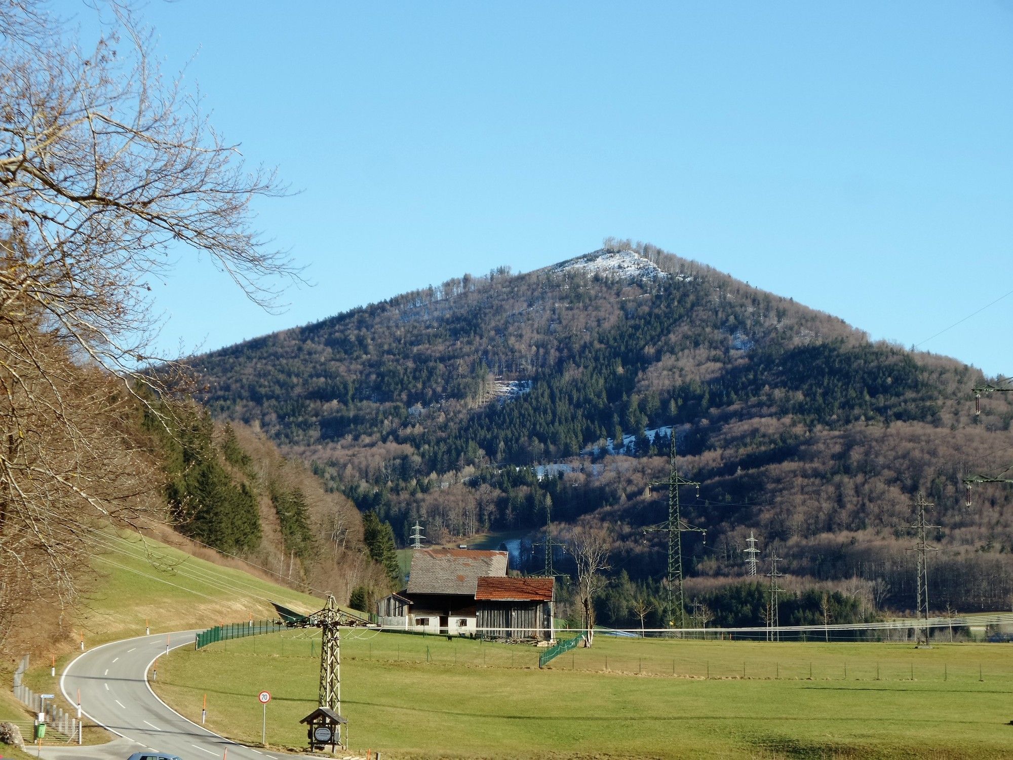
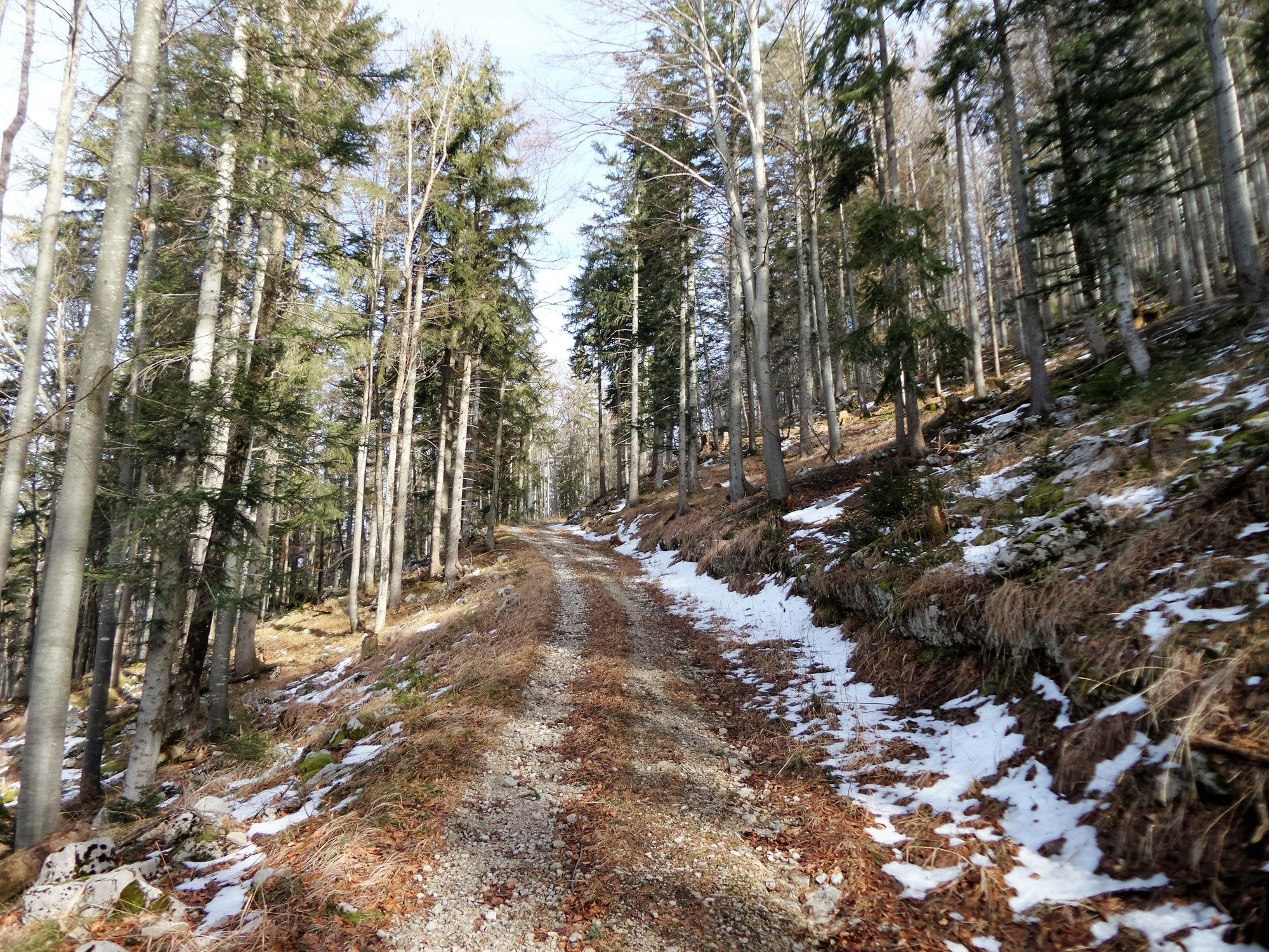
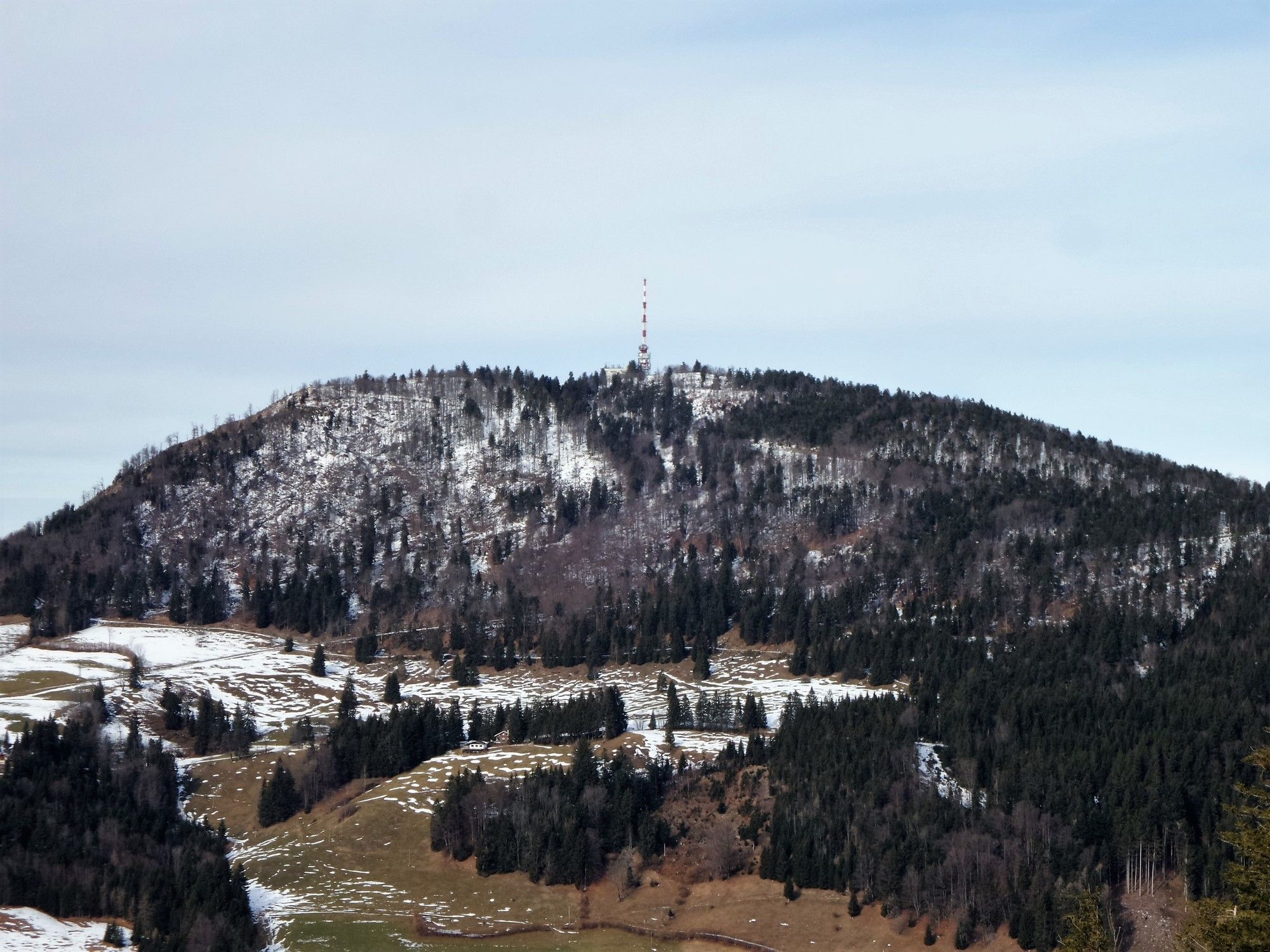
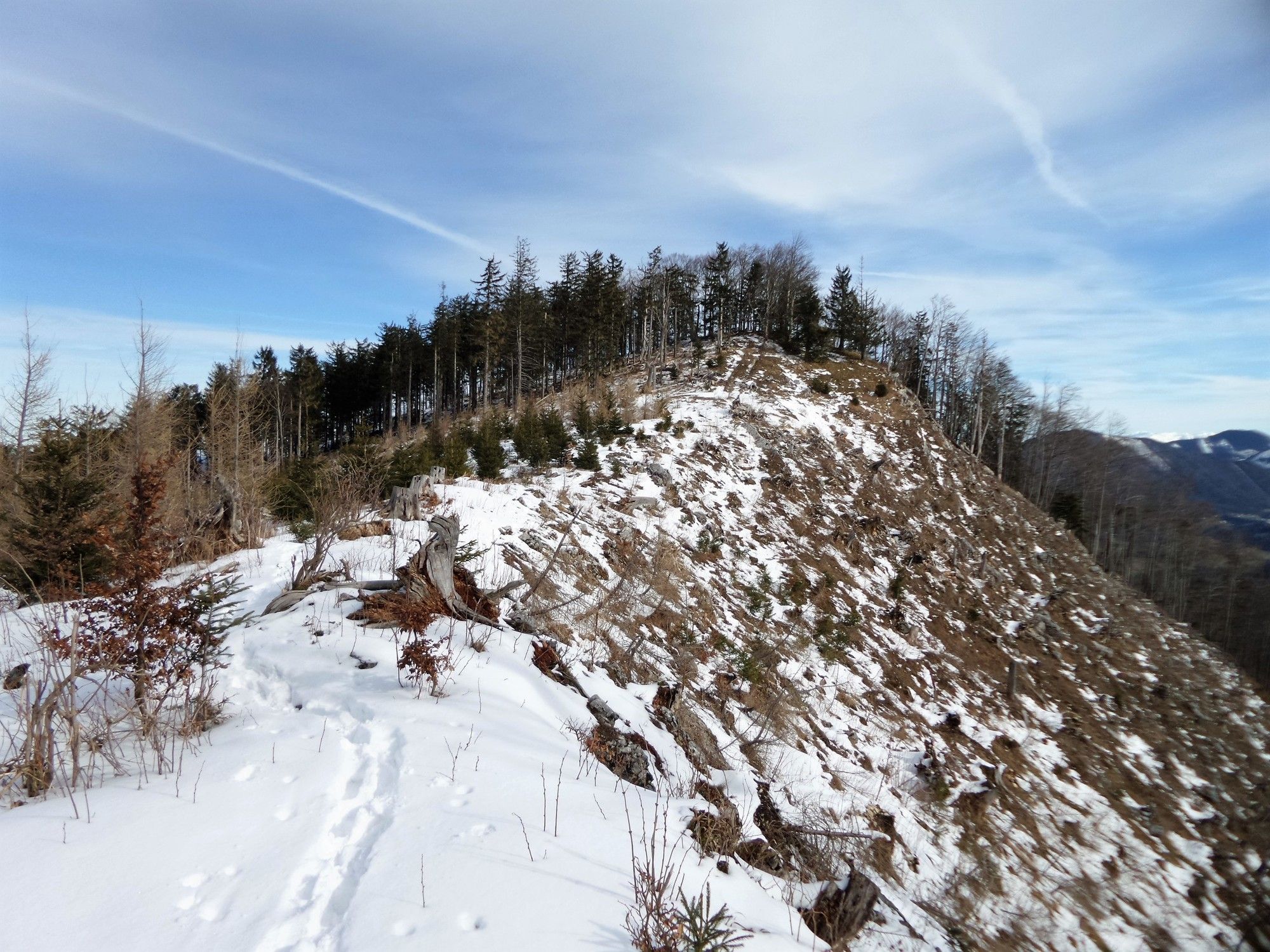
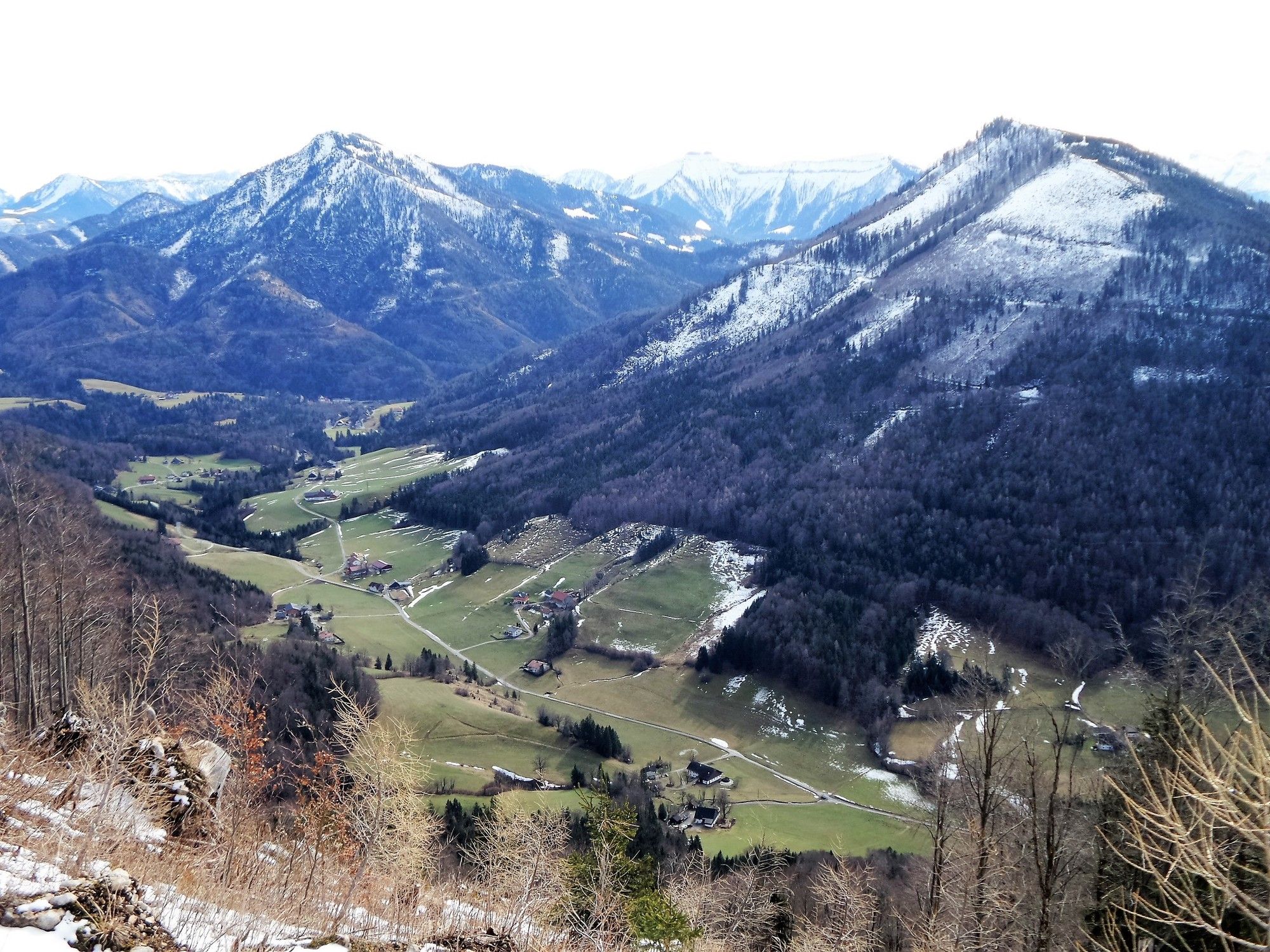
Elsbethen: Gurlspitze
- Difficulty
-
medium
- Rating
-
- Starting point
-
Elsbethen/Vorderfager/Schwaitlalm
- Route
-
Schwaitlalm0.1 kmGurlspitze (1,158 m)3.7 km
- Best season
-
JanFebMarAprMayJunJulAugSepOctNovDec
- Highest point
- 1,128 m
- Endpoint
-
Gurlspitze
- Rest/Retreat
-
keine

- Source
- xxlstier
GPS Downloads


Trail conditions
Asphalt
Gravel
(80)
Meadow
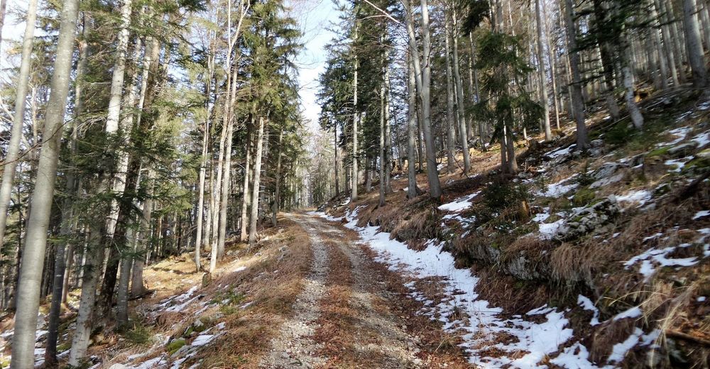
Forest
(20)
Rock
Exposed
Other tours in the regions
-
Fuschlsee - Ferienregion
1659
-
Koppl
489