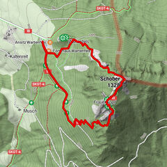

Tour data
12.53km
502
- 554m
113hm
110hm
02:51h
- Difficulty
-
easy
- Rating
-
- Route
-
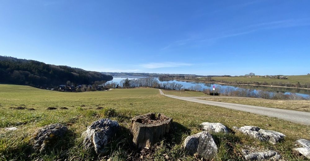
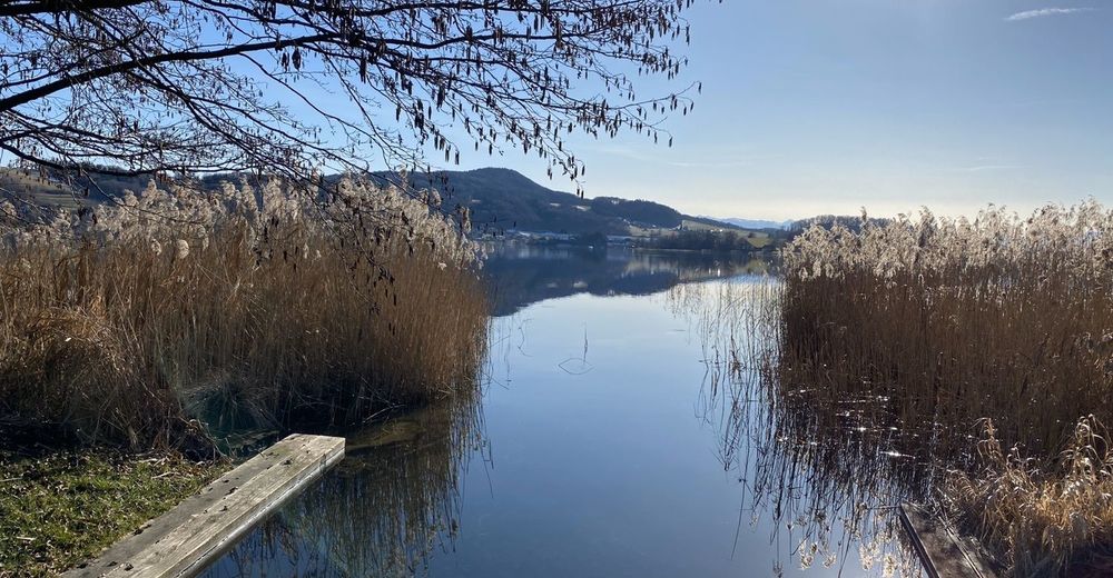
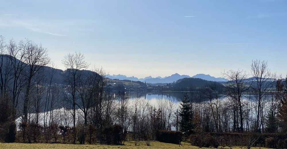
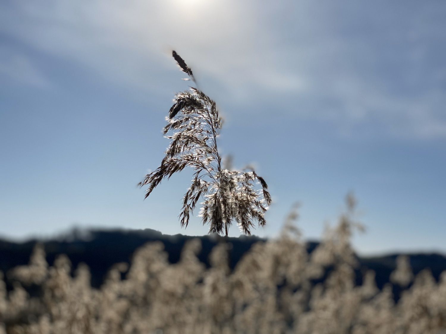
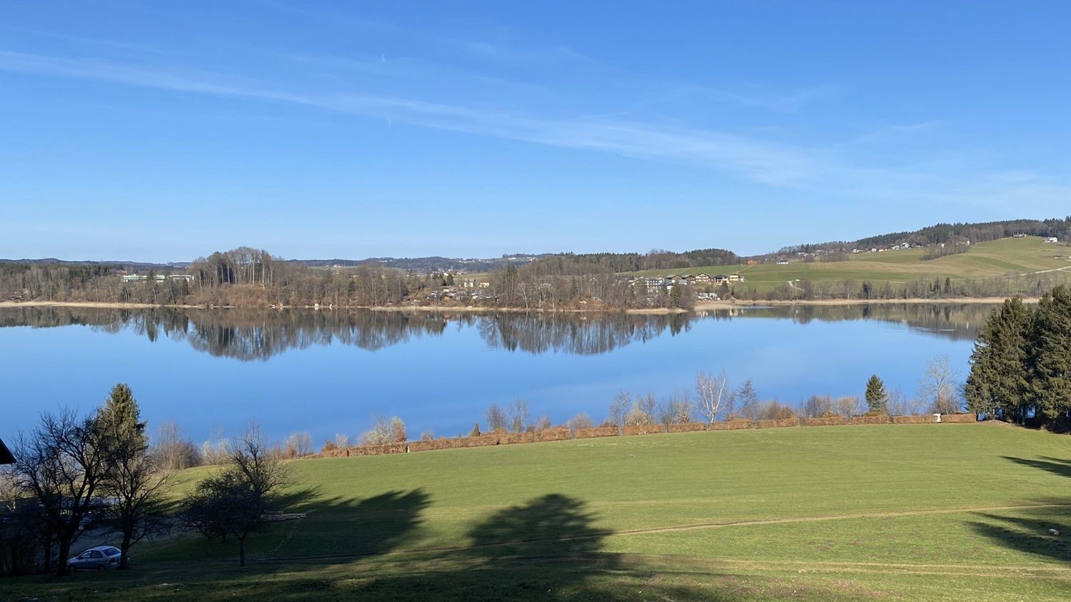
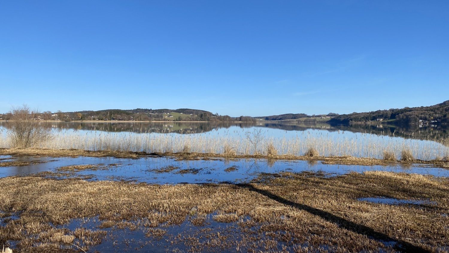
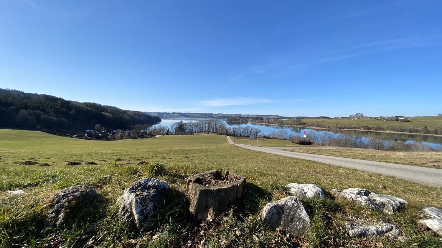
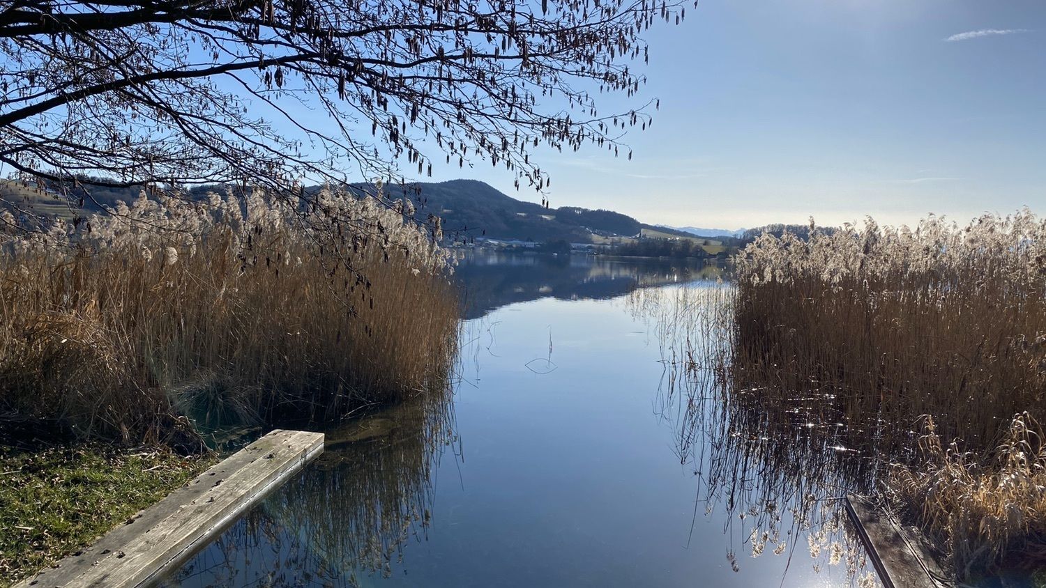
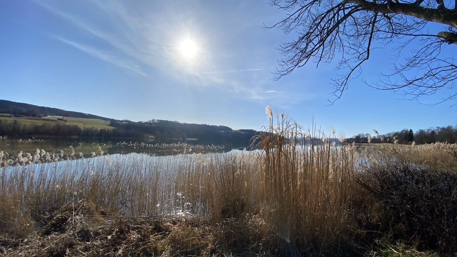
Schloßberg (535 m)0.8 kmMattsee0.9 kmWeyer1.4 kmRamoos2.4 kmRamoosquelle2.8 kmBerndler3.6 kmFilialkirche Gebertsham Zum Heiligen Kreuz5.5 kmGebertsham5.6 kmNiedertrum6.9 kmStein8.9 kmAug10.4 kmÜberfuhr12.0 km
- Best season
-
JanFebMarAprMayJunJulAugSepOctNovDec
- Highest point
- 554 m


GPS Downloads


Trail conditions
Asphalt
Gravel
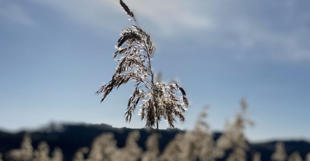
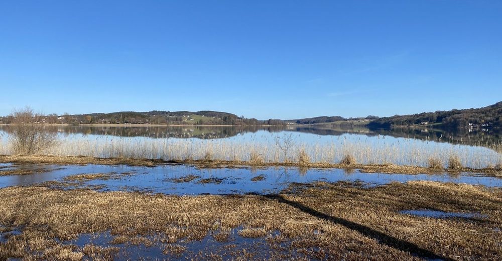
Meadow
Forest
Rock
Exposed
Other tours in the regions
-
Innviertel
799
-
Salzburger Seenland
1047
-
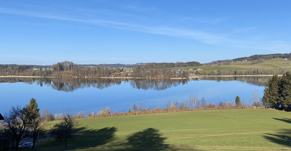
Mattsee
163