- Brief description
-
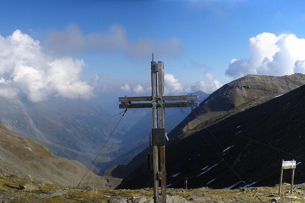
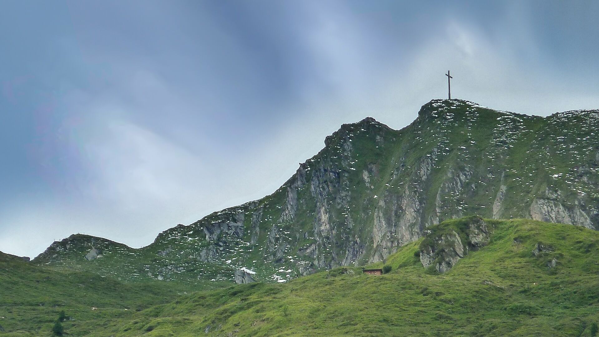
Enjoy the scenic landscape and discover the fauna and flora in the mountains. The day hike with summit experience rewards you with a view of a special kind.
- Difficulty
-
medium
- Rating
-
- Starting point
-
Hiking info point Niedernsill
- Route
-
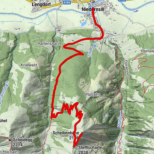
Niedernsill0.1 kmPfarrkirche hl. Luzia0.1 kmCafe Zur Pinzgauerin0.4 kmStefflscharte (2,038 m)11.0 kmScheibenhöhe (2,126 m)11.6 kmCafe Zur Pinzgauerin22.6 kmPfarrkirche hl. Luzia22.8 kmNiedernsill23.1 km
- Best season
-
JanFebMarAprMayJunJulAugSepOctNovDec
- Description
-
The summit experience in the Glockner group awaits you after an ascent of approx. 1,400 metres in altitude. Hike through the picturesque alpine landscape of the Rattensbachtal valley and enjoy the beautiful view from the summit.
- Directions
-
Starting at the hiking info point, hike along Dorfstraße, trail no. 1 and Zillerstraße to the fork in the road. Now turn right and follow the Rattensbachweg trail and the forest road, trail no. 720 into the Rattensbachtal valley. At the Samer Grundalm, continue left and then the hike leads past the Samer Hochalm and over the Stefflscharte to the Scheibenhöhe. The descent is via the same route.
- Highest point
- 2,116 m
- Endpoint
-
Hiking info point Niedernsill
- Height profile
-

- Equipment
-
Ankle-high hiking boots, drinks & snacks, backpack, rain protection, mobile phone
- Safety instructions
-
Dear nature lovers!
We hope that the snacks and drinks you take with you on your hike will give you the strength to carry back the packaging material and empty cans and bottles.We kindly ask you to observe the Fair Play & Rules of Conduct!
Fairness and mutual consideration form the basis for a common together and the protection of the various interests in the natural region!
- Additional information
- Public transportation
- Parking
-
Sufficient parking available in the centre of the village.
-

-
AuthorThe tour Niedernsill: Scheibenhöhe is used by outdooractive.com provided.