

© Zell am See-Kaprun Tourismus GmbH - Harry Liebmann


© Zell am See-Kaprun Tourismus GmbH - Harry Liebmann

© Zell am See-Kaprun Tourismus GmbH - Harry Liebmann

- Brief description
-
on a paved road to the neighboring village
- Difficulty
-
easy
- Rating
-
- Starting point
-
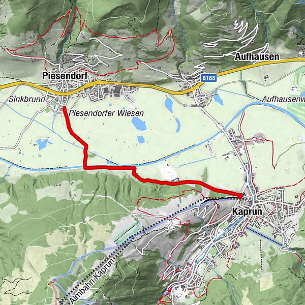
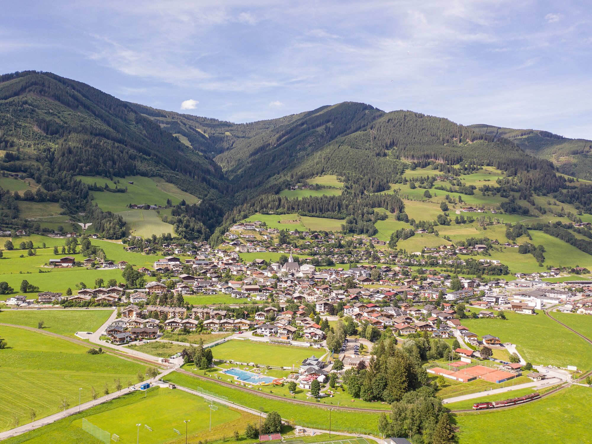
Kaprun Center at the entrance to the village
- Route
-
KaprunEinödhof1.8 km
- Best season
-
JanFebMarAprMayJunJulAugSepOctNovDec
- Description
-
The starting point is the Kaprun Center at the Maisiflitzer. From there, an asphalt road surrounded by fields leads to the neighboring town of Piesendorf. The inn Köttingeinöden is about halfway. (Attention rest day!)
- Directions
-
At the entrance to the village, starting point Kaprun Center, the Einödweg access road to the MK Maiskogelbahn/Maisi Flitzer branches off to the right from the main road. Continue through the subway to the Tauern substation to Köttingeinöden to the bridge over the Salzach to Piesendorf.
- Highest point
- 786 m
- Endpoint
-
Piesendorf village centre
- Height profile
-

- Public transportation
-
back by train or bus 670 and bus 660 to Kaprun
- Parking
-
car park Maiskogel


-

-
AuthorThe tour Walk to Piesendorf is used by outdooractive.com provided.
GPS Downloads


Other tours in the regions


