


- Brief description
-
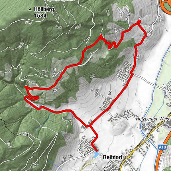
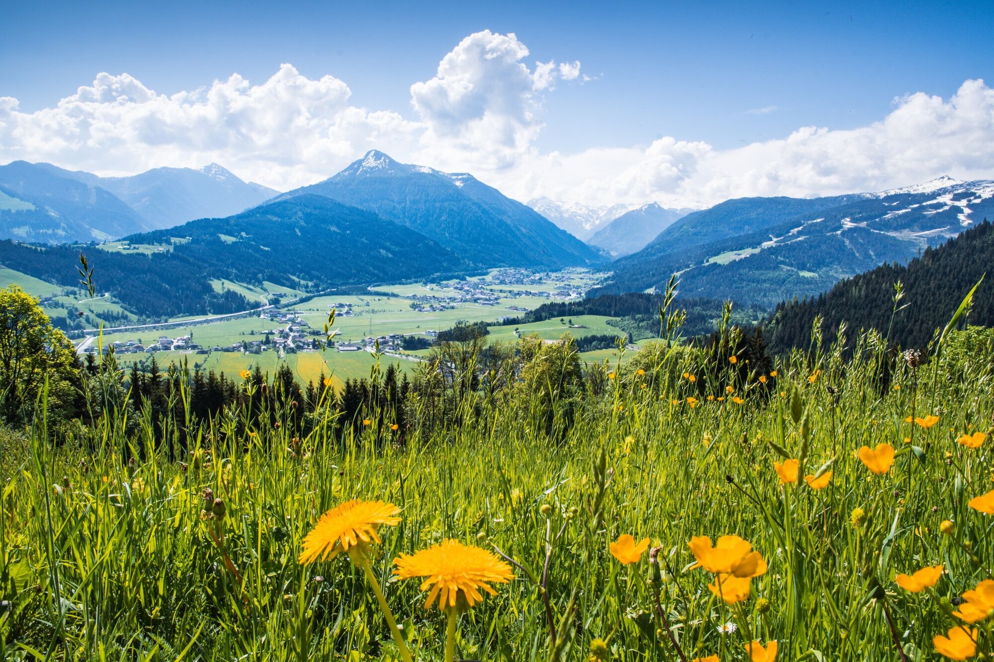
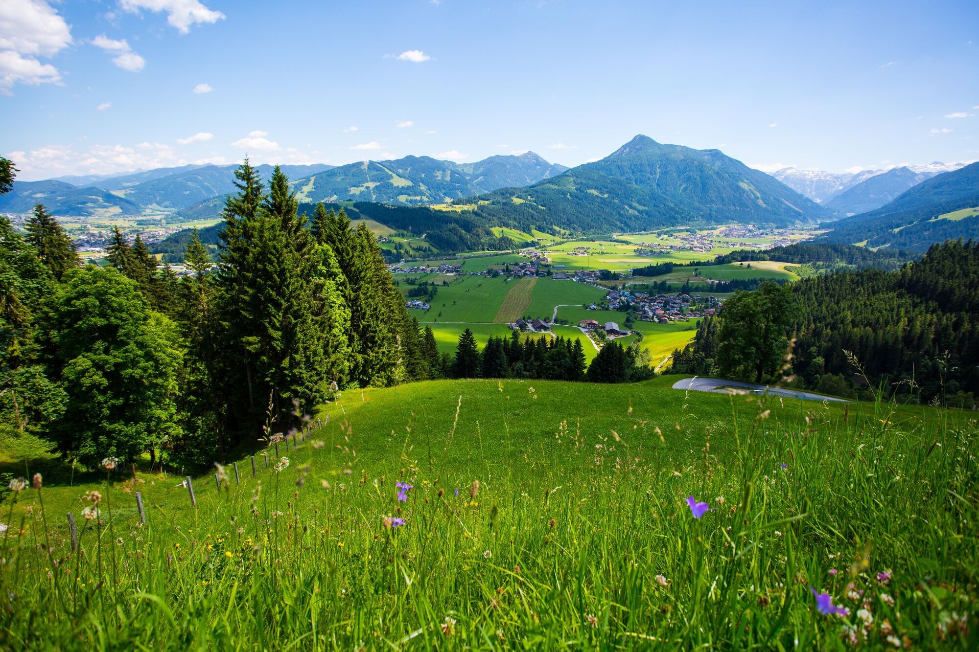
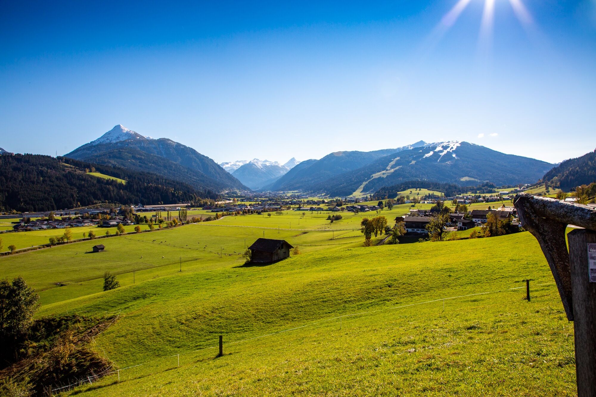
A tour around the Aigenberg, through the cool forest and down to the lake.
- Difficulty
-
medium
- Rating
-
- Starting point
-
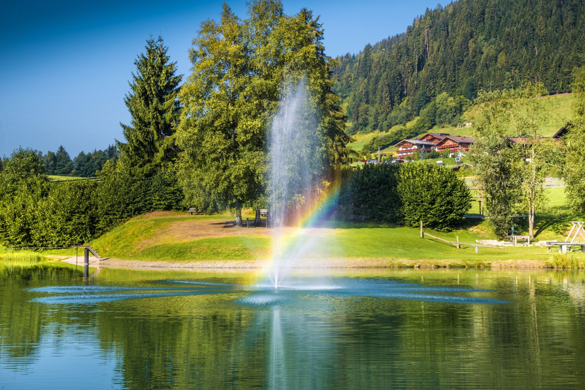
Lake Reitdorf
- Route
-
ReitdorfAignstadel0.0 kmAigenstadl0.4 kmBurnstein5.2 kmBichlkapelle5.5 kmAigenstadl6.9 kmAignstadel7.3 kmReitdorf7.4 km
- Best season
-
JanFebMarAprMayJunJulAugSepOctNovDec
- Description
-
This local hike along a quiet mountain road, where you pass some mountain farms, offers a wonderful view of the valley from Flachau. At the end of the hike you can reward yourself with a jump into the lake.
Swimming possibility at the lake Reitdorf.
Possibility for lunch: Aignstadl, small snack bar at lake Reitdorf
- Directions
-
Lake Reitdorf - path Nr. 2 to Aignerbauer - carry on path Nr. 40 - Pürstingbauer - Steinlehenbauer - after ca. 400 m a field track leads downhill to Maderlehenbauer - Gasthof Burnstein - return to the starting point on the meadow path Nr. 2 via Oberlehengut and Aignerbauer
- Highest point
- 1,163 m
- Endpoint
-
Lake Reitdorf
- Height profile
-

- Equipment
-
The basic equipment of a hiker includes:
o sturdy, high shoes with a grippy sole
o suitable mountain clothing
o enough to drink
o snacks for in-between
o sunglasses, sunscreen or rain protection if necessary
o mobile phone
o walking sticks
o First aid kit
- Safety instructions
-
Planning & preparation: Precise tour planning is recommended before every mountain tour. Information from local experts such as mountain guides or hut keepers as well as hiking maps will help you.
Check the weather forecast: A must-do before every hike. The weather can change unexpectedly in the mountains. Keep an eye on the current weather conditions at: www.zamg.ac.at.
Important tips:
o do not overestimate yourself
o manage your strength and endurance well
o assess your surefootedness and head for heights
o do not step on stones
o turn around in good time if the weather changes
Mountain rescue number: The telephone number 140 is the emergency number for alpine accidents in Austria.
- Tips
-
At the tourist info Flachau you get a hike map with information to this tour.
- Additional information
- Directions
-
to lake Reitdorf
- Public transportation
-
Sporwelt-bus to Reitdorf "Gemeindeamt/Badesee"
From June to September, the Sportweltbus is the ideal shuttle service for your hiking tours in the entire region (Flachau, Wagrain-Kleinarl, St. Johann-Alpendorf, Radstadt, Altenmarkt-Zauchensee, Eben, Filzmoos, Obertauern, Großarl & Hüttschlag).
With the Flachau Summer Card you can use the Sportweltbus for only Euro 1,00 per person and route. Children under 6 years travel free!
More information at: https://www.flachau.com/en/more/information/sportweltbus.html
Further connections: www.salzburg-verkehr.at
- Parking
-
Lake Reitdorf
-

-
AuthorThe tour Around the Aigenberg is used by outdooractive.com provided.


General info
-
Schladming - Dachstein
3000
-
Salzburger Sportwelt
2193
-
Eben im Pongau
561


