- Brief description
-
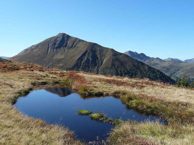
Let's go up to one of the typical grassy mountains of Pinzgau! A magnificent panoramic view from the Hohe Tauern over the Kitzbühel Alps awaits you.
- Difficulty
-
medium
- Rating
-
- Starting point
-
Hiking info point Niedernsill
- Route
-
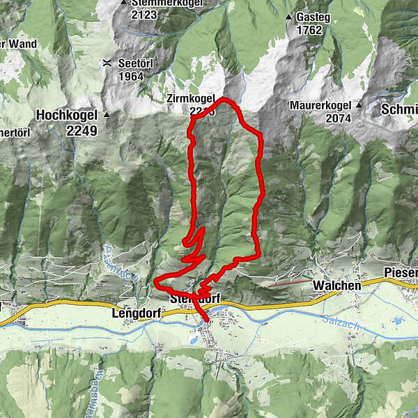
NiedernsillSteindorf0.5 kmGaisbichl2.4 kmHochsonnberg (2,150 m)9.1 kmZirmkogel (2,215 m)10.0 kmKlammscharte (1,993 m)10.5 kmEmaten17.0 kmSteindorf17.9 kmNiedernsill18.4 km
- Best season
-
JanFebMarAprMayJunJulAugSepOctNovDec
- Description
-
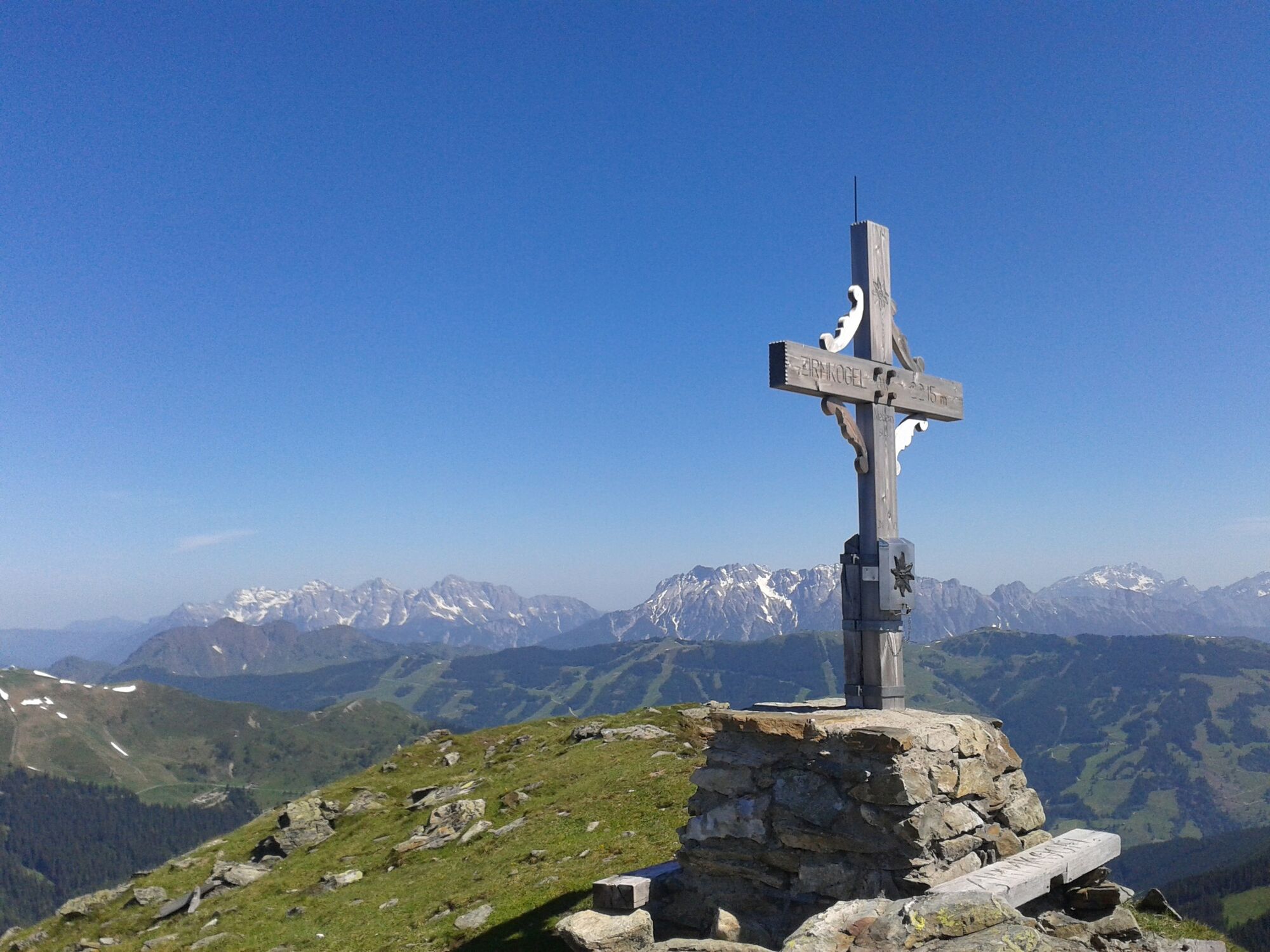
This moderately difficult but very beautiful tour leads to the summit at 2,215 m above sea level of the typical grass mountain in the Kitzbühel Alps/Pinzgauer Grasberge. The Zirmkogel is located between the neighbouring peaks of Gernkogel to the east and Hochsonnberg to the southwest, with the Pinzgauer Spaziergang trail to the south.
- Directions
-
Starting from the hiking info point, follow the road to the roundabout and continue left through the underpass into Steindorfer Straße road. Now hike uphill along trails 3 & 5 via Gaisbichl to Hochprack. Continue along the forest road, turn left at the fork in the road after the barrier and follow trail no. 13 for a short distance. Turn right onto trail no. 748A, which takes you over the Steinbachriedel and Hochsonnberg to the summit of the Zirmkogel. The descent is via the Kammscharte and further on along trails nos. 19 and 748 to Röderlehen. Afterwards, take trail no. 5 via Gitschen and Ematen back to the starting point.
Limited parking spaces Hochprack - hiking time approx. 6.5 hours (there & back)
- Highest point
- 2,184 m
- Endpoint
-
Hiking info point Niedernsill
- Height profile
-

- Equipment
-
Ankle-high hiking boots, drinks & snacks, backpack, rain protection & mobile phone
- Safety instructions
-
Dear nature lovers!
We hope that the snacks and drinks you take with you on your hike will give you the strength to carry back the packaging material and empty cans and bottles.We kindly ask you to observe the Fair Play & Rules of Conduct!
Fairness and mutual consideration form the basis for a common together and the protection of the various interests in the natural region!
- Additional information
- Public transportation
- Parking
-
Sufficient parking available in the centre of the village. Limited parking at parking lot Hochprack.
-

-
AuthorThe tour Niedernsill: Zirmkogel is used by outdooractive.com provided.