


- Brief description
-
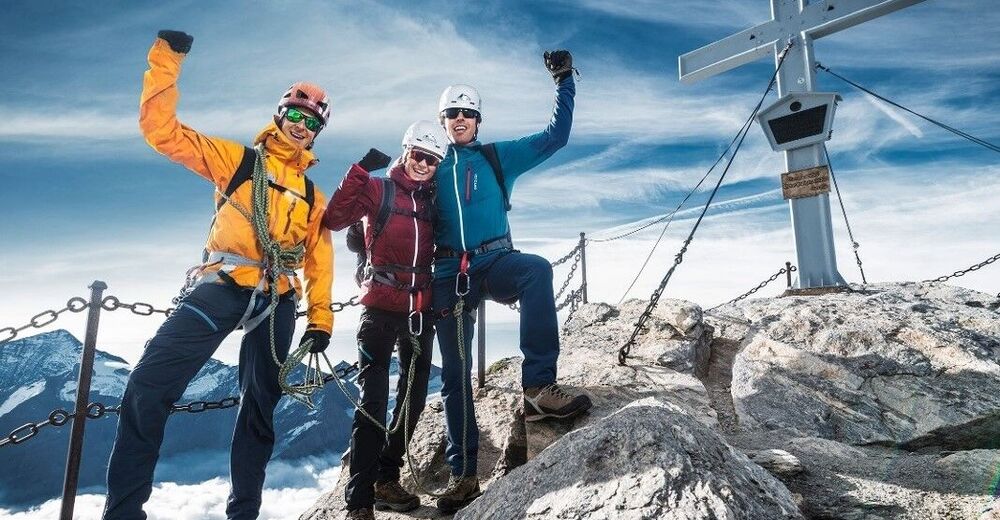
Have an amazing tour to the peak of the Kitzsteinhorn!
- Difficulty
-
difficult
- Rating
-
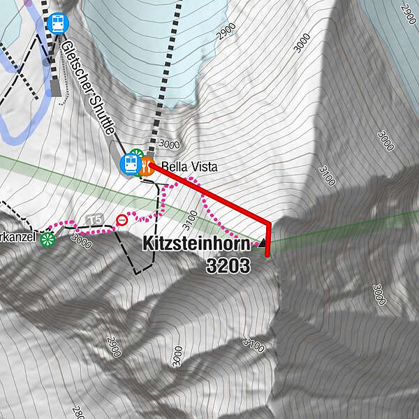
- Route
-
Gletscher ShuttleBella VistaKitzsteinhorn (3,203 m)0.3 km
- Best season
-
JanFebMarAprMayJunJulAugSepOctNovDec
- Description
-
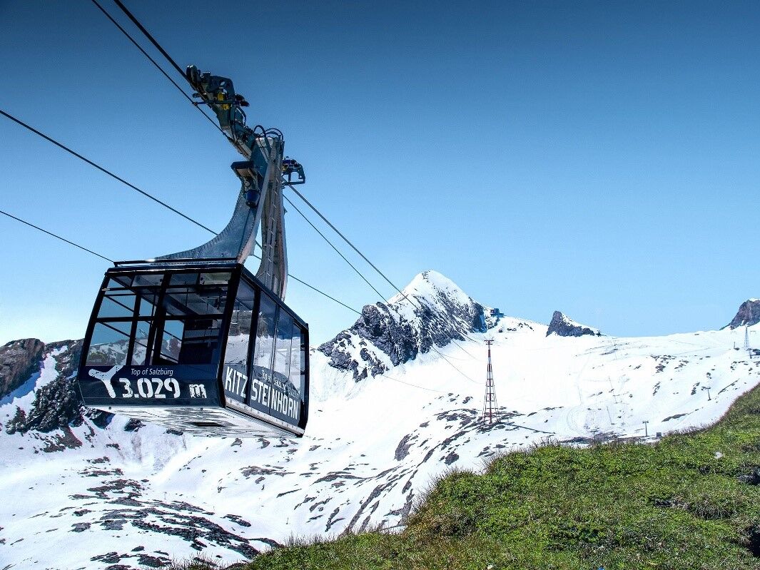
Take the Kitzsteinhorn cable car up to the “Top of Salzburg” panorama platform. Surrounded by 360-degree views, a steep hike leads from the Kitzsteinhorn summit station to the summit itself. (Hiring a local mountain guide is recommended for this path.) From the summit station, you’ll have to conquer just 200 metres of elevation gain via steel ropes up to 3,203m. Once arrived, you’ll be rewarded with an impressive mountain panorama – on a clear day, the horizon will seem almost infinite.
- Directions
-
There is a steep path to the peak from the Panorama Platform "Top of Salzburg" in the Kitzsteinhorn Gipfelstation.
- Highest point
- 3,165 m
- Endpoint
-
Gipfel auf 3.203 m
- Height profile
-

- Equipment
-
Sturdy shoes, windbreaker, hood and gloves
- Tips
-
Gloves for the steel cables are recommended.
- Additional information
- Directions
- Public transportation
-
By Bus 660 to the valley station Kitzsteinhorn
- Parking
-
free parking place at the Kitzsteinhorn bottom station. Kesselfallstraße 64 in 5710 Kaprun


-

-
AuthorThe tour Kitzsteinhorn 3.203 m - Ascent to the peak is used by outdooractive.com provided.