© peziM

© peziM

© peziM

© peziM

© peziM
Tour data
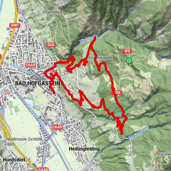
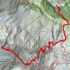
6.08km
1,271
- 2,073m
981hm
06:00h
- Brief description
-
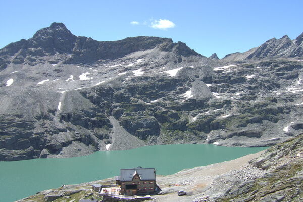
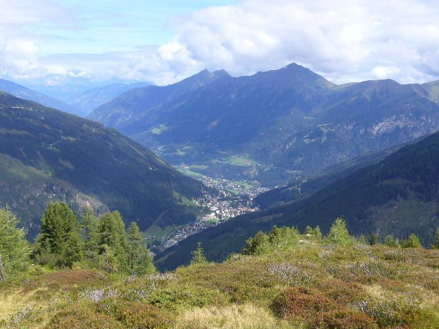
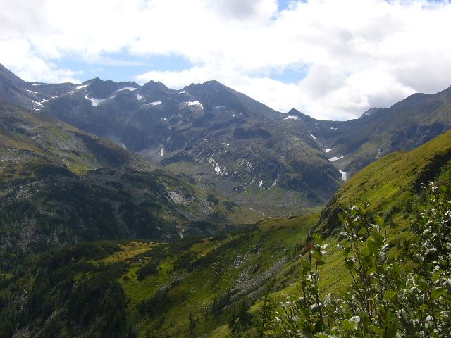
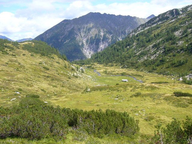
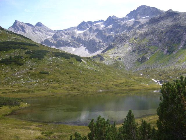
Schöne Wanderung,nicht sehr steil,nicht durchgehend markiert,schöne Ausblicke ins hintere Gasteinertal
- Difficulty
-
medium
- Rating
-
- Starting point
-
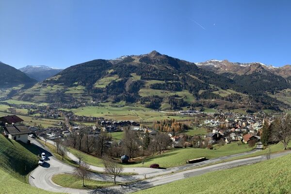
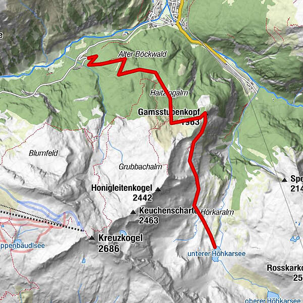
Transformator vor dem Heilstollenparkplatz (kostenlos)
- Route
-
Gamsstubenkopf (1,963 m)3.0 km
- Best season
-
JanFebMarAprMayJunJulAugSepOctNovDec
- Highest point
- 2,073 m
- Rest/Retreat
-
Böckstein
- Ticket material
-
freytag&berndt "Gasteiner Tal" WK 191
GPS Downloads


Trail conditions
Asphalt
Gravel
(30%)
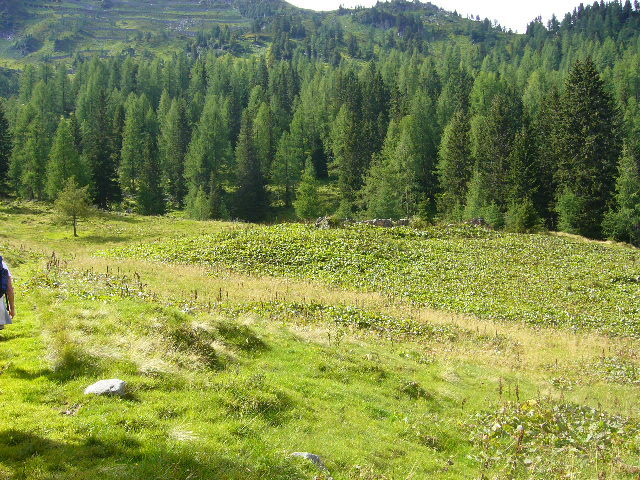
Meadow
(70%)
Forest
(20%)
Rock
Exposed
(10%)
Other tours in the regions