
- Brief description
-
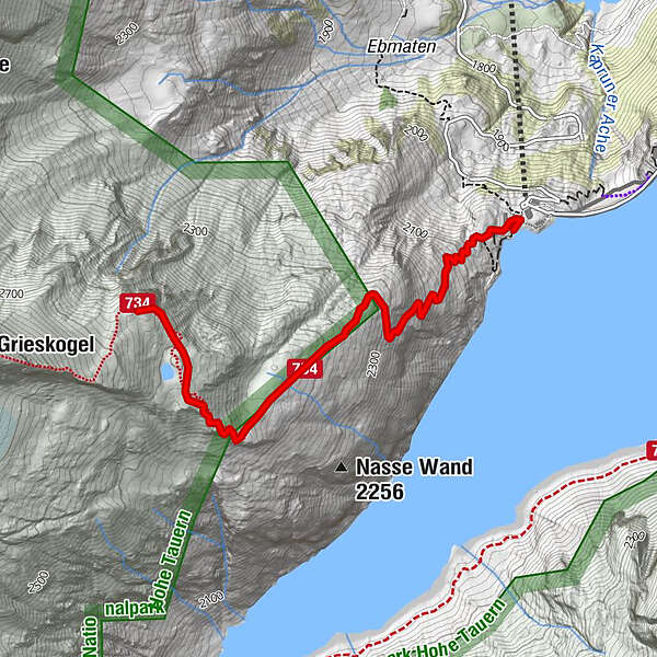
from the dam up to the summit of the Kleinen Grieskogel.
- Difficulty
-
difficult
- Rating
-
- Starting point
-
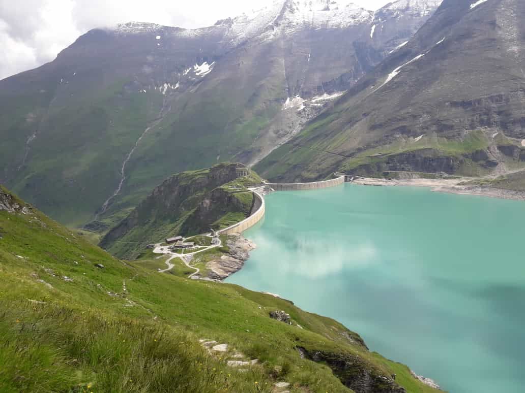
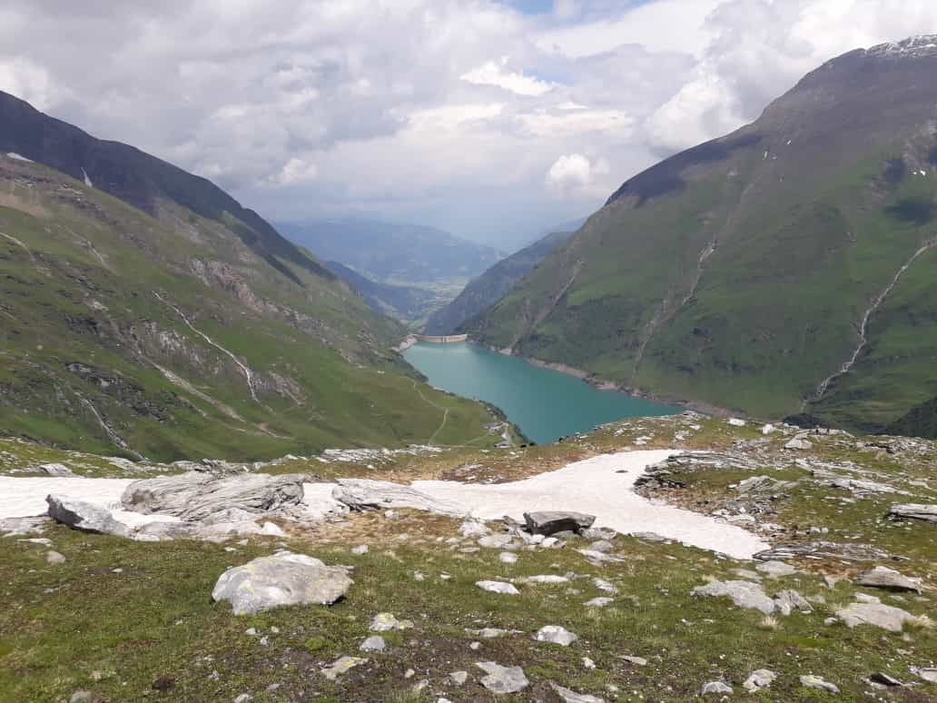
Mooserboden reservoir
- Route
-
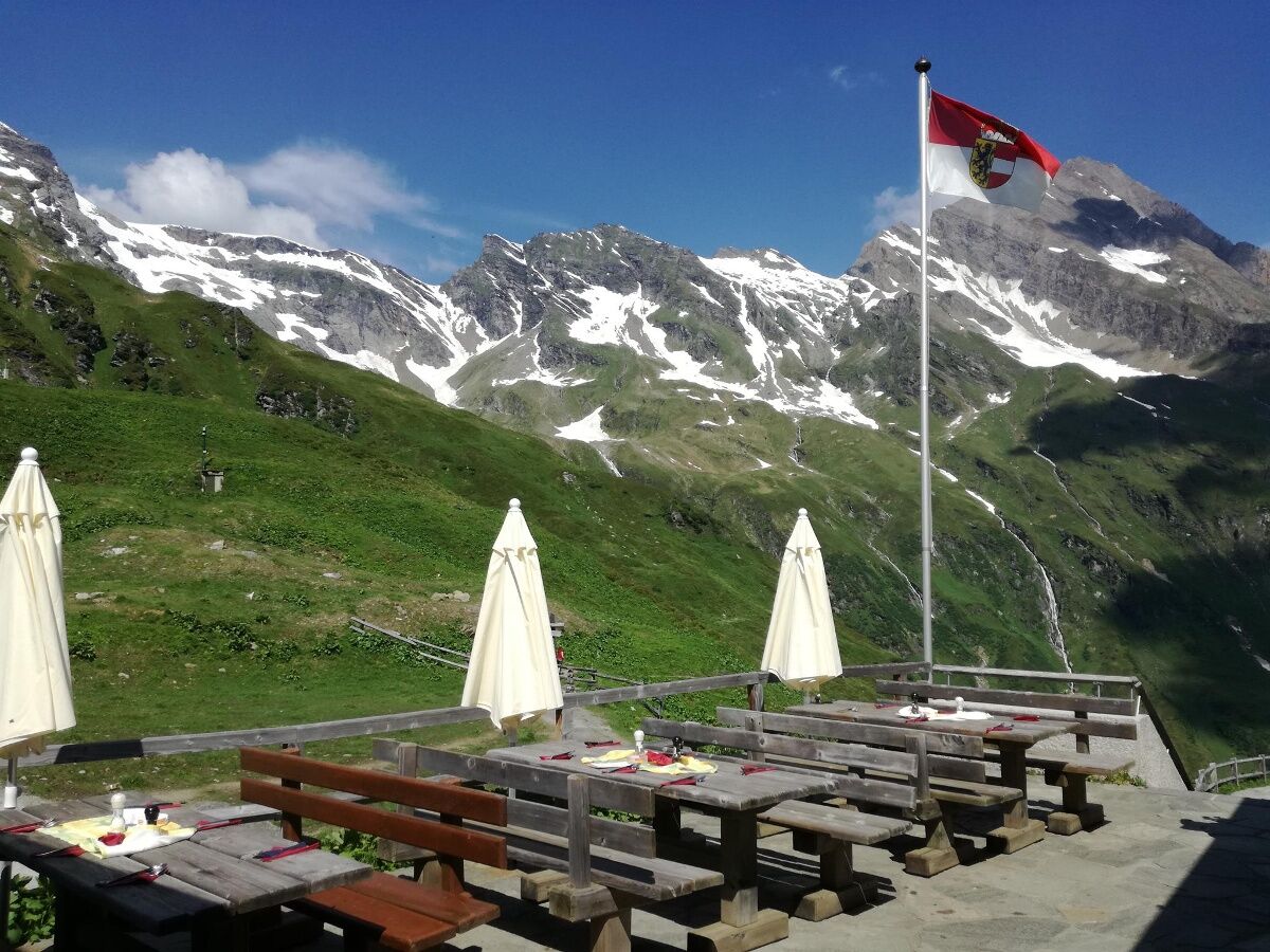
Bergrestaurant Mooserboden0.0 km
- Best season
-
JanFebMarAprMayJunJulAugSepOctNovDec
- Description
-
From the Mooserboden along a steeper alpine meadow path, the path to the Sedlgratkopf is marked in red, white and red, and then via an unsecured, unmarked path to the summit of the Little Grieskogel. Which is located at 2,669 m.
Now continue over a coarse area of boulders and an exposed ridge until you reach the summit of the Großen Grieskogels.
From here, it is possible to continue ascending up to the
Hocheiser. This tour should only be undertaken in the company of the mountain guide!
- Highest point
- 2,641 m
- Endpoint
-
Kleiner Grieskogel
- Height profile
-

- Equipment
-
Sun, wind or rain protection and good hiking shoes,
- Safety instructions
-
The first section is moderately difficult, then the tour towards the Sedlgratkopf and Kleinen Grießkogel is rated as a black, high-alpine tour.
The ascent to the Großer Grieskogel or further to the Hocheiser is only recommended for those with mountain experience!
The ascent to the Großer Grieskogel or further to the Hocheiser can only be recommended with experience in the mountains!
- Directions
-
address Kesselfall cash desk: Kesselfall cash desk Kesselfallstraße 98 5710 Kaprun
- Public transportation
-
Bus 660, further with shuttle buses up to the lake reservoir Mooserboden
- Parking
-
free of charge in the Kesselfall car park


-

-
AuthorThe tour Kleiner Grieskogel is used by outdooractive.com provided.