


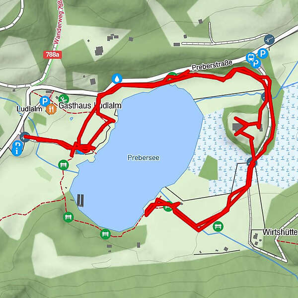
Tour data
2.72km
1,519
- 1,538m
30hm
15hm
00:54h
- Brief description
-
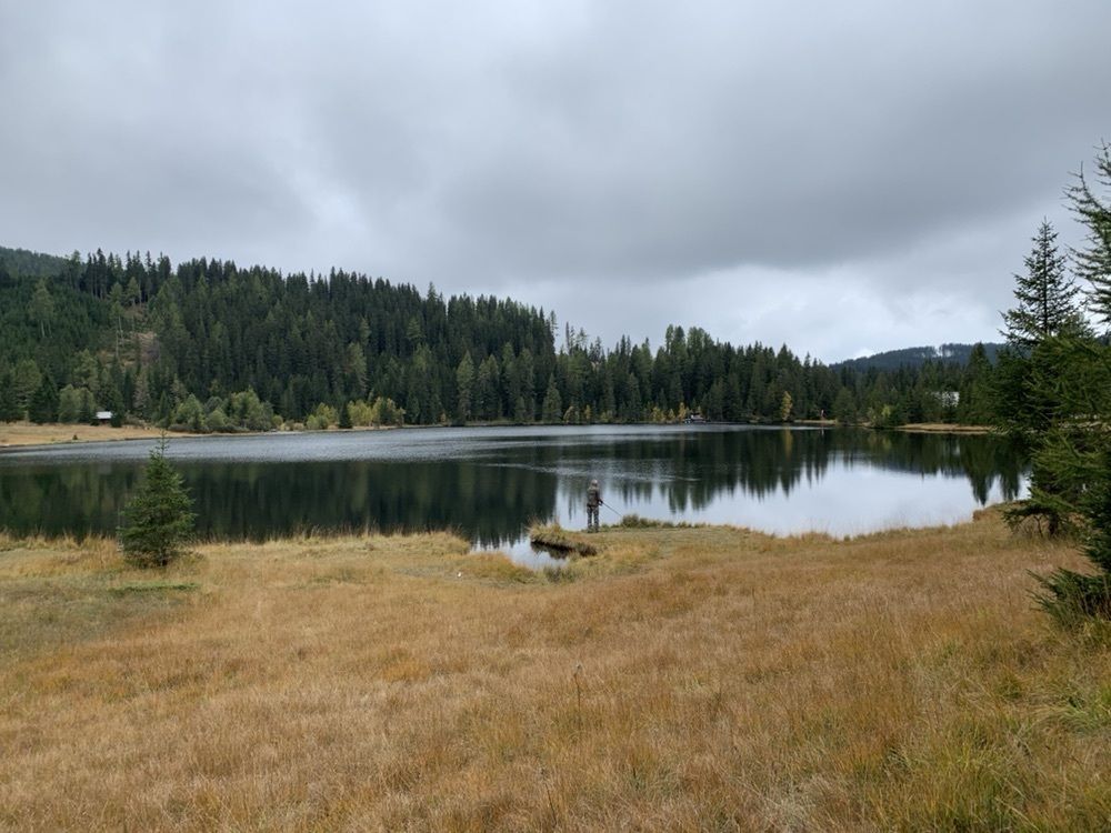
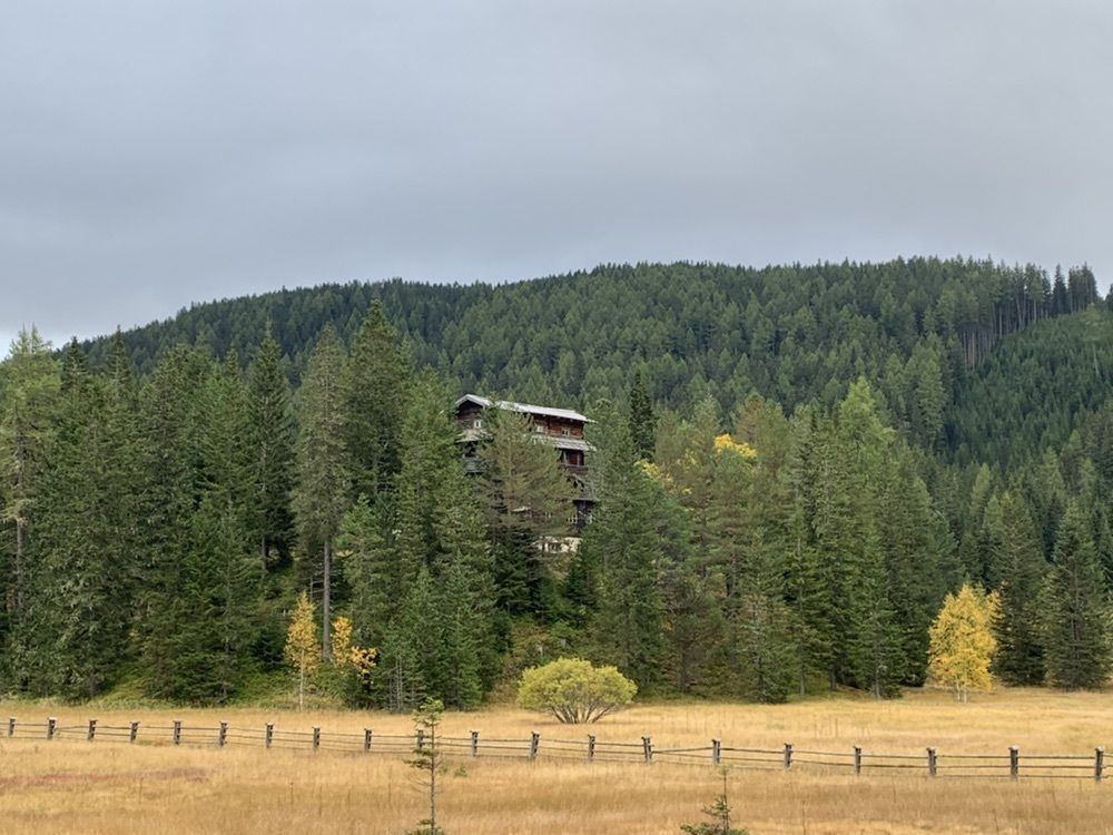
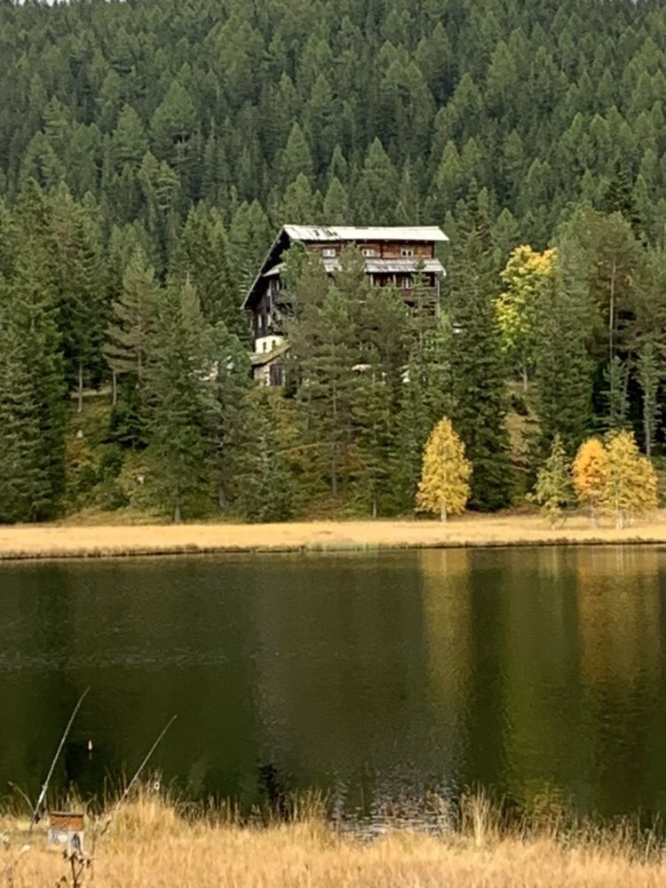
Kleiner flacher Rundweg um den see
- Difficulty
-
easy
- Rating
-
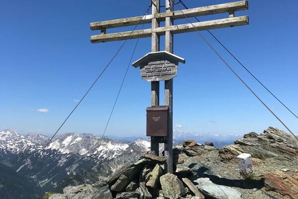
- Highest point
- 1,538 m

GPS Downloads


Other tours in the regions
-
Schladming - Dachstein
3001
-
Lungau - Ferienregion
871
-
Lessach
181