


- Brief description
-
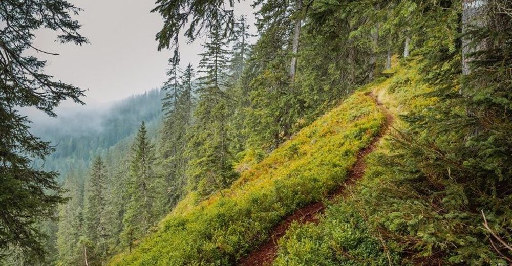
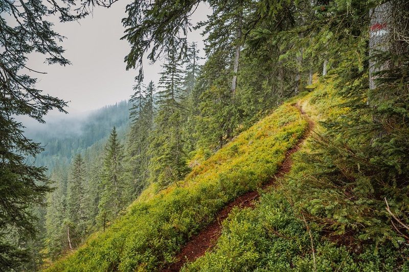
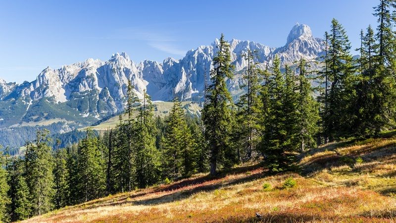
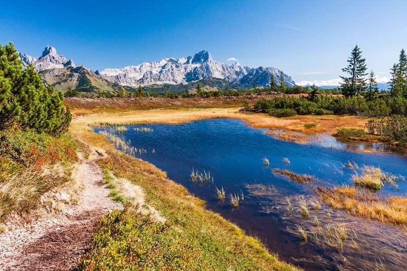
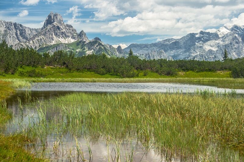
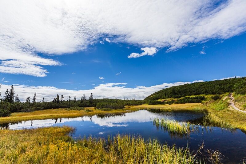
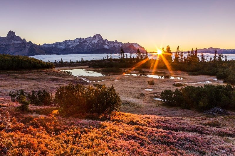
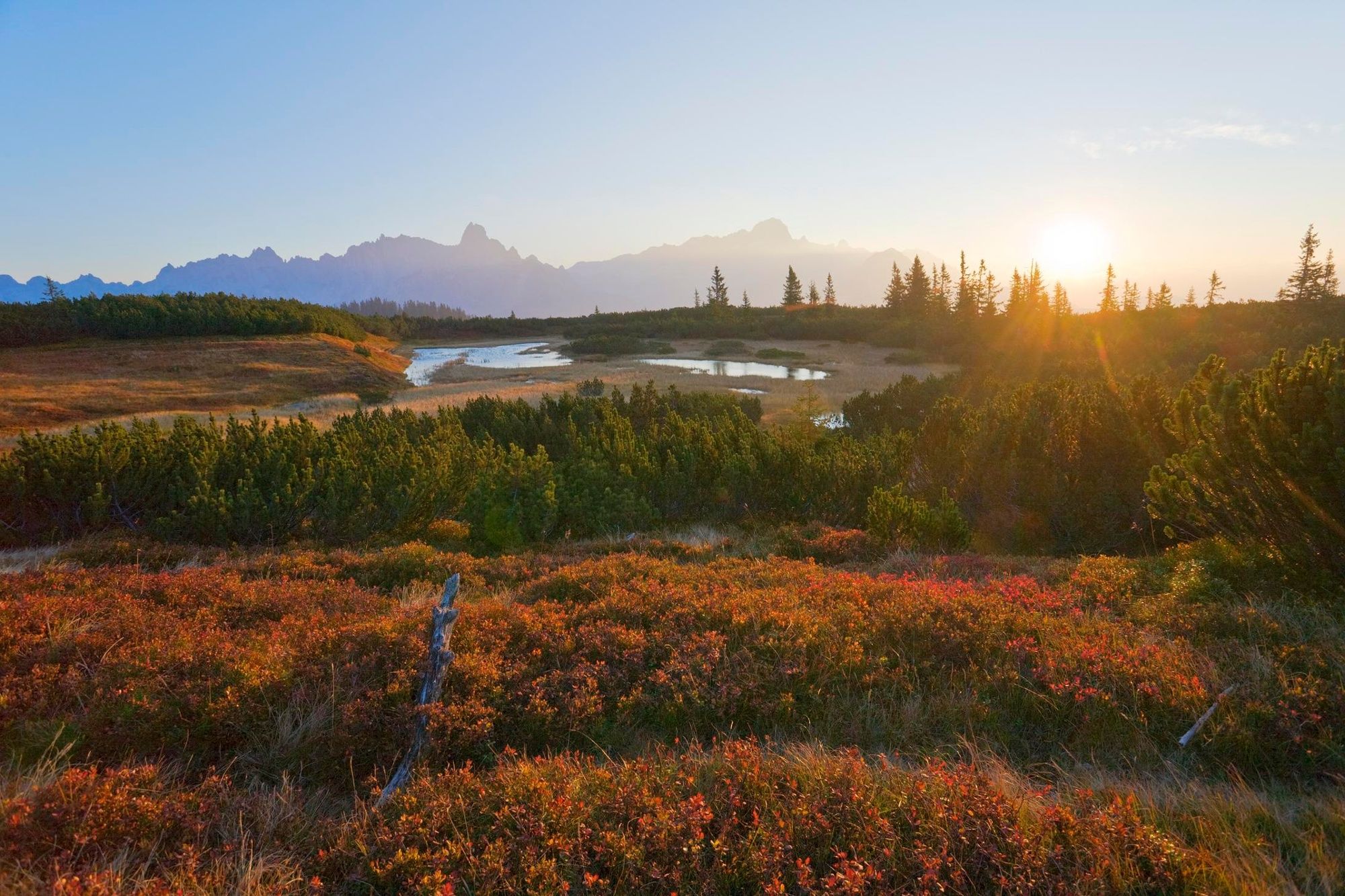
The path to the Gerzkopf leads through a quiet, untouched and pristine landscape.
- Difficulty
-
medium
- Rating
-
- Starting point
-
Turn off Gseng or Nestlerhof
- Route
-
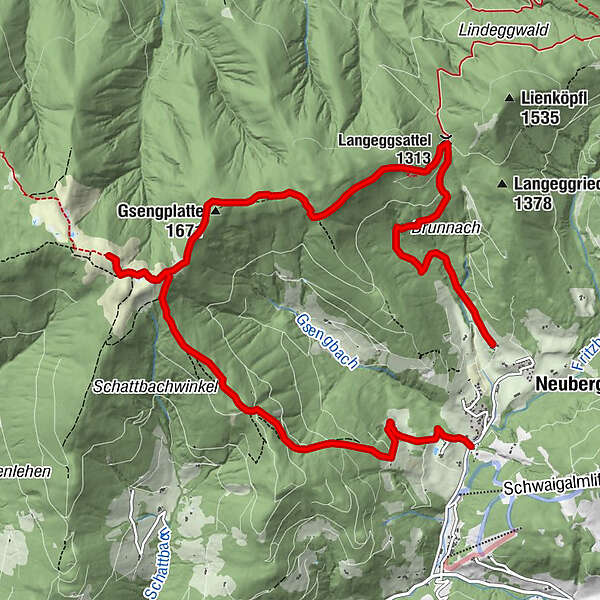
Bischofsmützenblick4.3 kmGerzkopf (1,728 m)4.9 kmGsengplatte (1,671 m)6.4 kmLangeggsattel (1,313 m)8.9 km
- Best season
-
JanFebMarAprMayJunJulAugSepOctNovDec
- Description
-
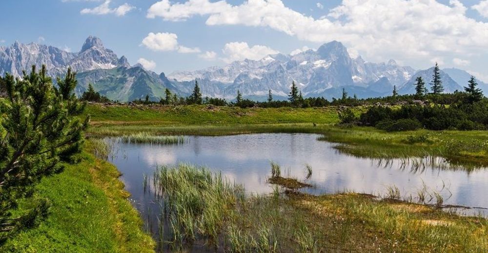
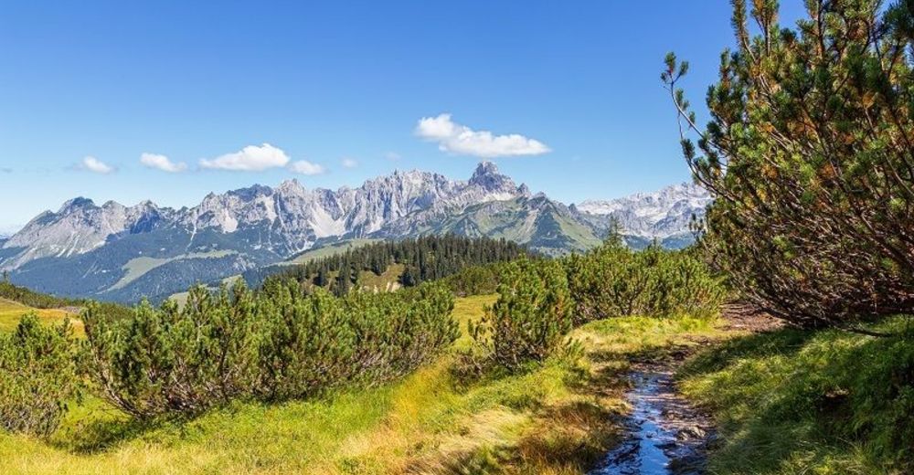
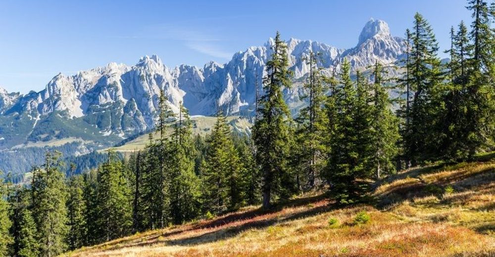
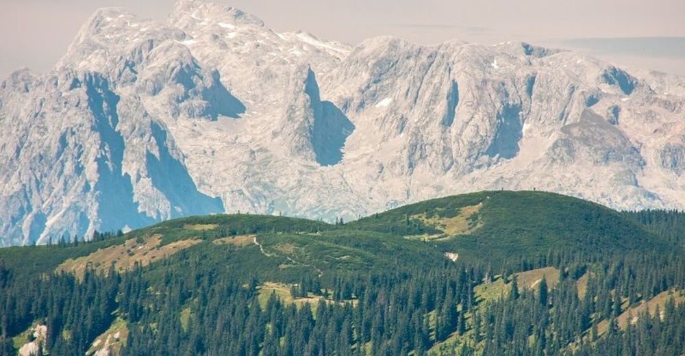
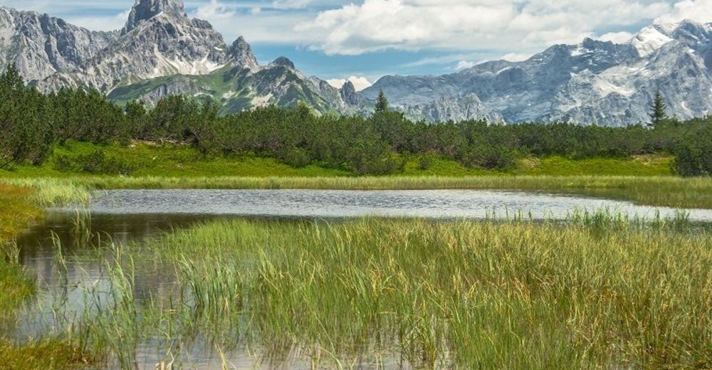
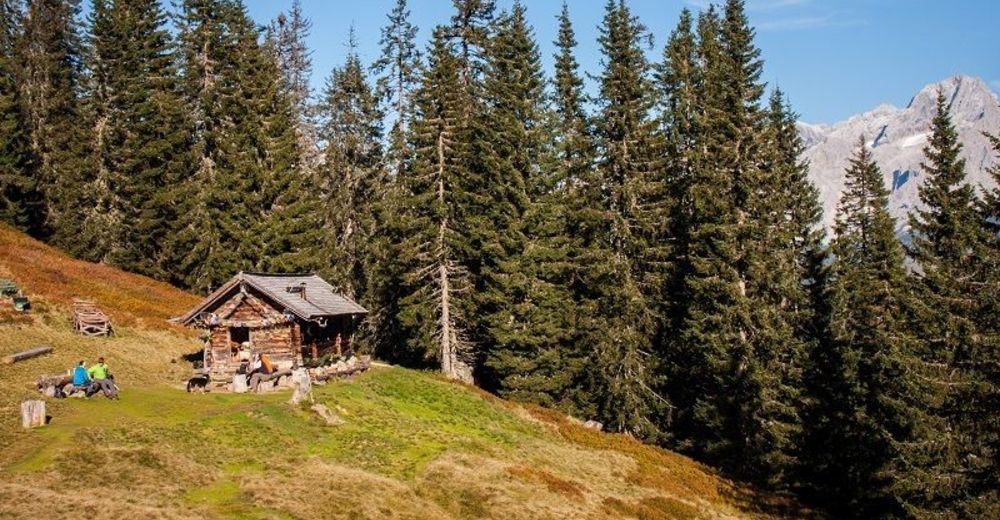
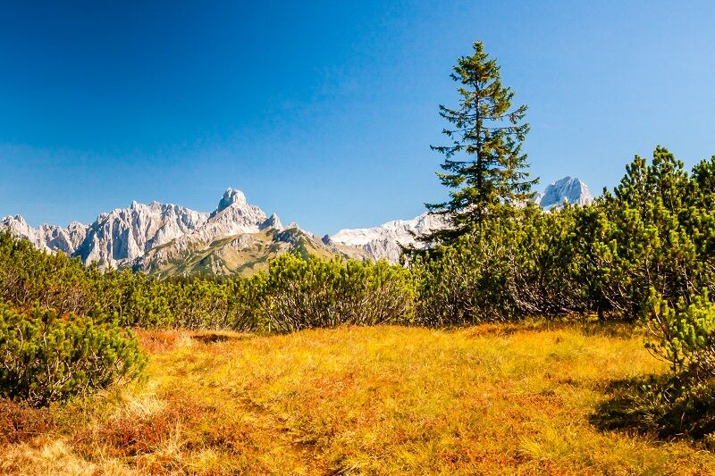
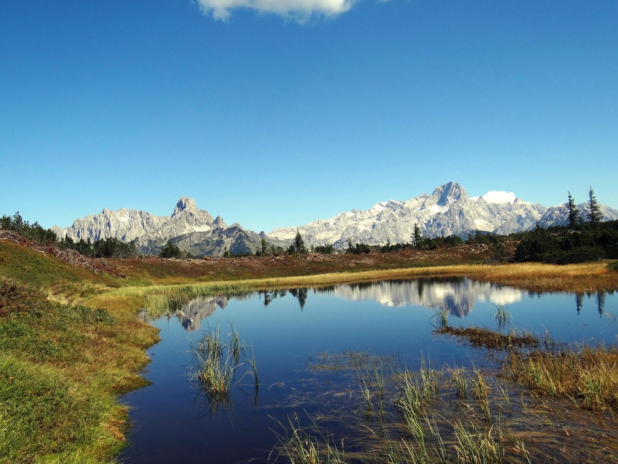
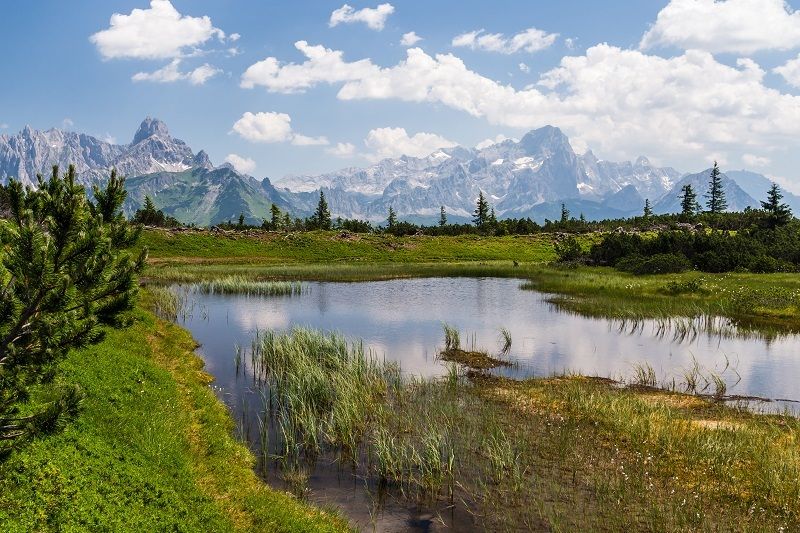
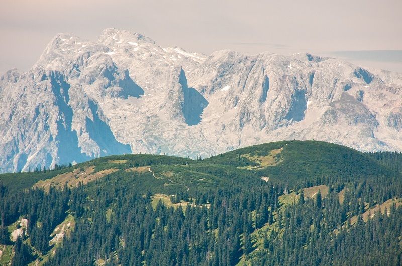
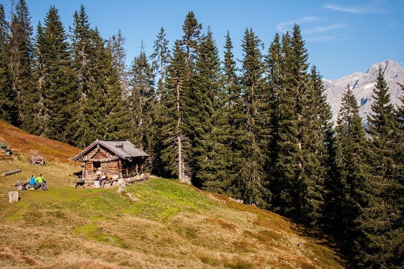
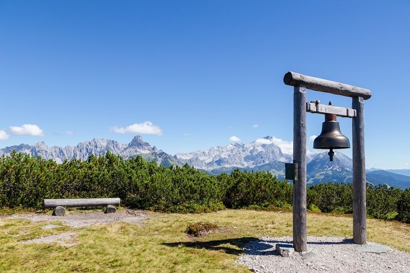
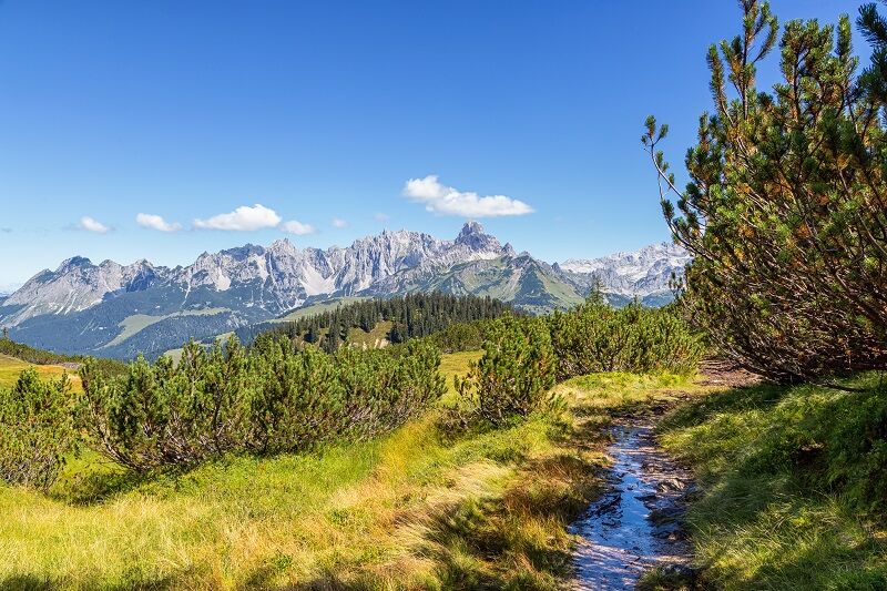
With the hiking bus from Filzmoos you quickly reach the starting point in Neuberg. The path to the Gerzkopf leads through a quiet, untouched and pristine landscape. Through the fairy-tale spruce forest, you reach a dense "Latschengürtel", where the "Gerzkopfmoore" are embedded as small natural jewels. These are unique in the province of Salzburg and of particular ecological value. The hiker enjoys a magnificent view over the Gosaukamm, the Dachstein massif, the Tennengebirge, the Niederen Tauern from the summit. The prominent bishop's cap dominates the image in the east; the peaks of the Hohentauern rise in the far distance. Directly in front of the Neubergerhof is a hiking bus stop to get back to Filzmoos. From the beginning of June to the beginning of september the Schäferhütte is managed.
- Directions
-
Just before the old sawmill in Neuberg turn left towards the Nestlerhof. Walk right past the Nestlerhof. Just before the Perlmaishaus a forest path leads off to the right. You cross over serveral forest paths until you reach the tree line on the mountain ridge. To the right of the path lies the Schäferhütte. You walk up to the left, at first over somewhat rocky terrain, past the "Schwarze Lacke" and then on partly through mountain pine forest until you come to the peak of the Gerzkopf.
- Highest point
- 1,710 m
- Endpoint
-
Hotel Neubergerhof
- Height profile
-

- Tips
-
Glorious views, fabulous high alpine moor landscape with small lake. Peak cross with bell.
- Public transportation
-
Filzmoos Walkin Map.


- Author
-
The tour IVV-Gerzkopf Runde is used by outdooractive.com provided.