


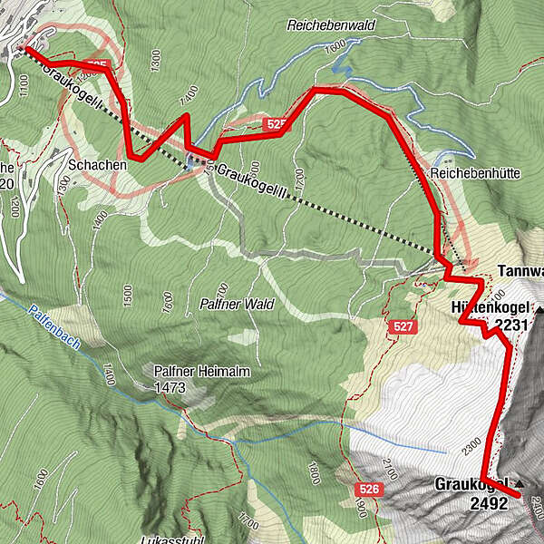
Tour data
5.1km
1,086
- 2,446m
1,342hm
06:00h
- Brief description
-
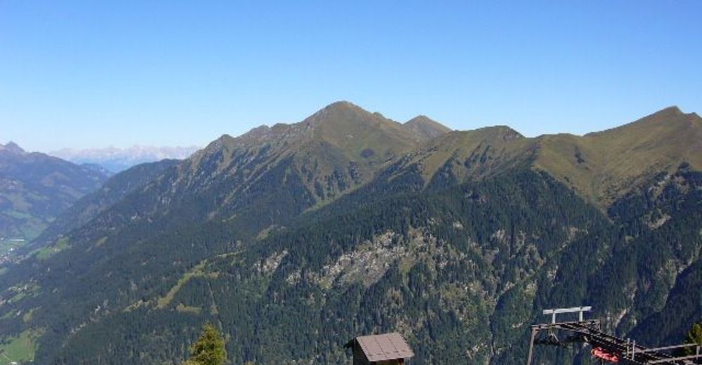
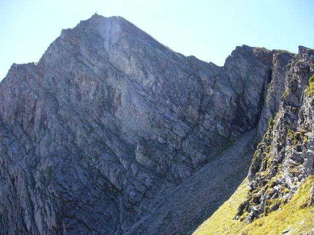
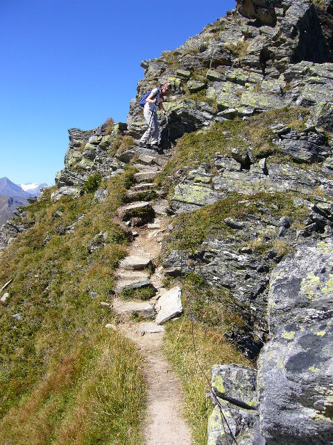
Wunderschöne Wanderung auf einen der Hausberge Bad Gasteins
- Difficulty
-
medium
- Rating
-
- Starting point
-
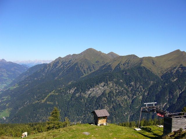
Graukogellift Talstation Bad Gastein
- Route
-
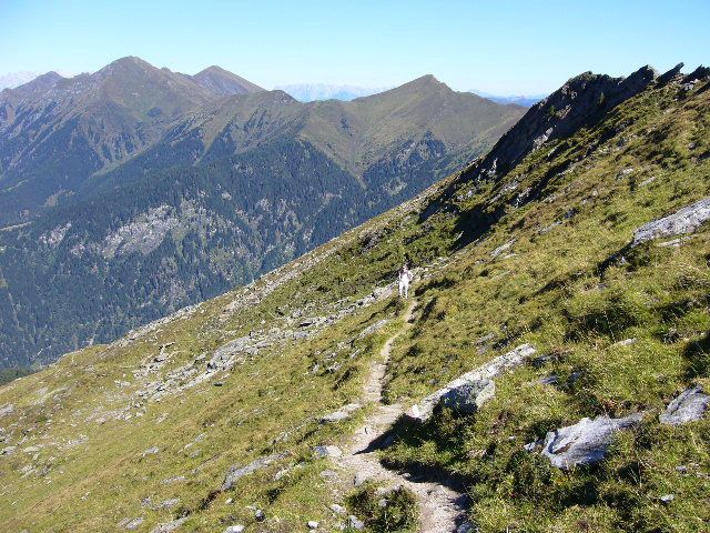
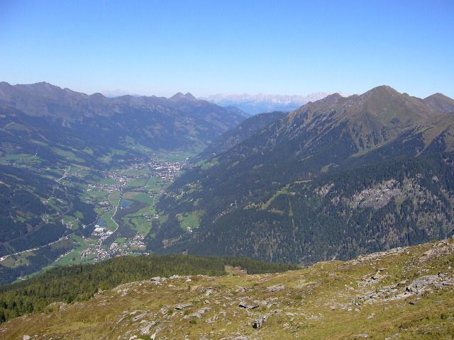
Bad GasteinGraukogel Bergstation3.2 kmGraukogelhütte3.2 kmGraukogel II (1,956 m)3.3 kmVinzenzkapelle3.3 kmGraukogel (2,492 m)4.9 km
- Best season
-
JanFebMarAprMayJunJulAugSepOctNovDec
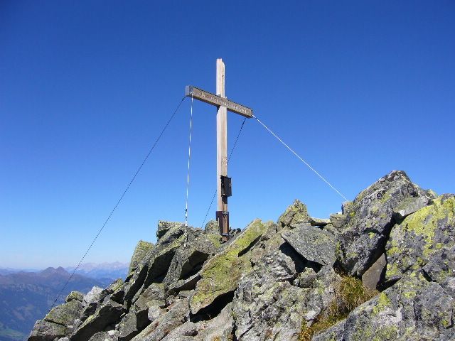
- Highest point
- 2,446 m
- Endpoint
-
Graukogelgipfel 2492m
- Rest/Retreat
-
Bei der Talstation gibts eine Imbissbude,bei der Mittelstaton eine Hütte,und an der Bergstation die Graukogelhütte
- Ticket material
-
freytag&berndt WK191


GPS Downloads


Trail conditions
Asphalt
Gravel
Meadow
Forest
Rock
Exposed
Other tours in the regions


