

© Zell am See-Kaprun Tourismus GmbH - Dominik Wartbichler

© Zell am See-Kaprun Tourismus GmbH - Dominik Wartbichler

© Zell am See-Kaprun Tourismus GmbH - Dominik Wartbichler

© Zell am See-Kaprun Tourismus GmbH - Dominik Wartbichler

© Zell am See-Kaprun Tourismus GmbH - Dominik Wartbichler

- Brief description
-
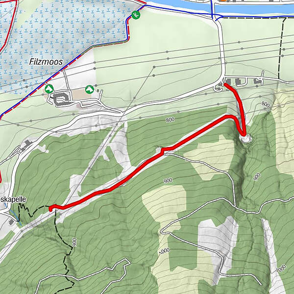
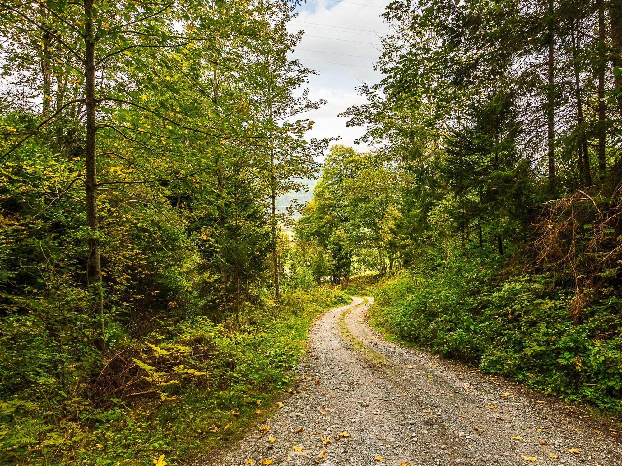
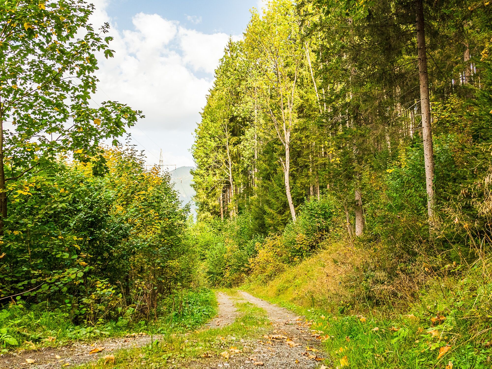
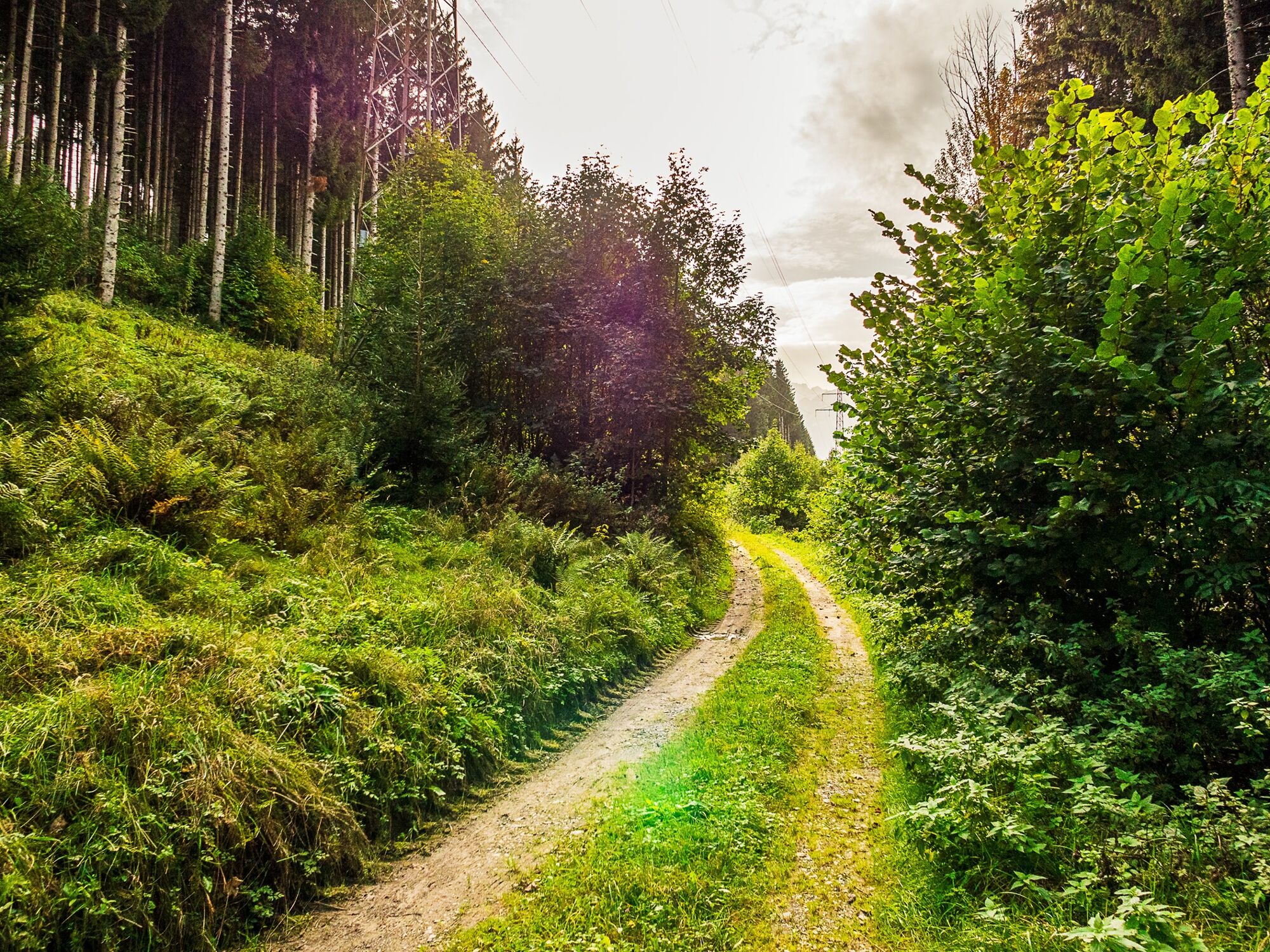
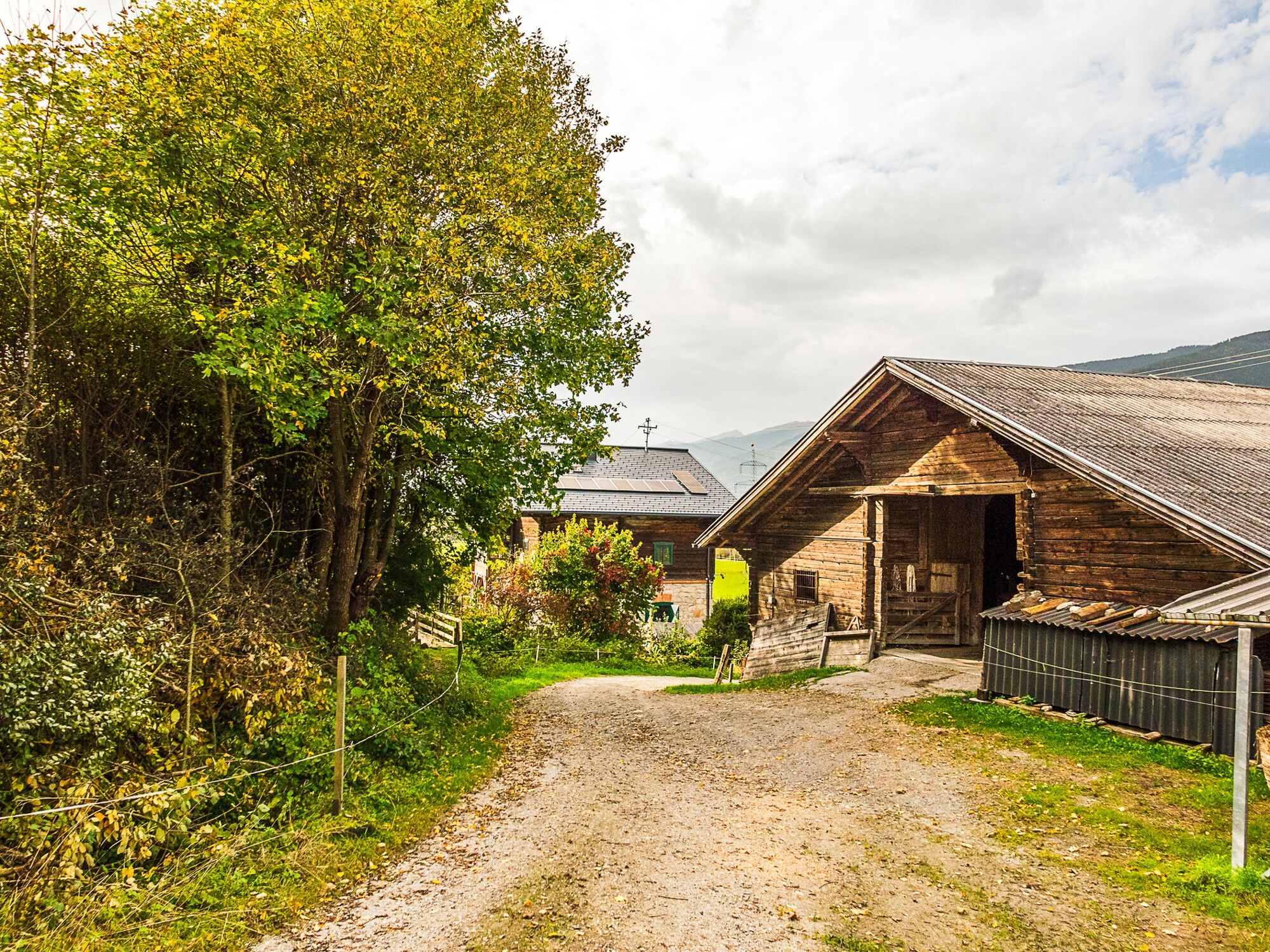
This path begins at Kaprun castle and goes uphill through the wood. Back it is possible along the Tauern cycle path.
- Difficulty
-
easy
- Rating
-
- Starting point
-
Kaprun castle
- Description
-
Starting point at Kaprun Castle. Nice view! Uphill along a forest. The same way back or via the Tauern bike path.
- Directions
-
At Kaprun Castle, first turn right onto the Guggenhöhen Trail no. 30 to a spring catchment where the Murlehen Trail begins on the left.
The trail leads through meadows and forest terrain downhill to Mayreinöden. Continue from there to the Salzach bridge and turn left along the Tauern Cycle Route back to Kaprun.
- Highest point
- 886 m
- Endpoint
-
entrance to the village of Kaprun
- Height profile
-

- Tips
-
In spring you can find many signs of spring there (spring knot flowers or coltsfoot)
- Parking
-
beginning of the Kaprun centre or near the castle

-

-
AuthorThe tour Murlehen path is used by outdooractive.com provided.
GPS Downloads


General info
Flora
Other tours in the regions


