

© Salzburger Sportwelt/Coen Weesjes - Coen Weesjes

- Brief description
-
Walking time: 4 hours
- Difficulty
-
medium
- Rating
-
- Starting point
-
Hotel "Die Gewürzmühle"
- Route
-
Unterbergalm7.1 kmLechneralm7.4 kmAualm8.7 kmTrinkeralm9.1 kmZeffereralm9.2 km
- Best season
-
JanFebMarAprMayJunJulAugSepOctNovDec
- Description
-
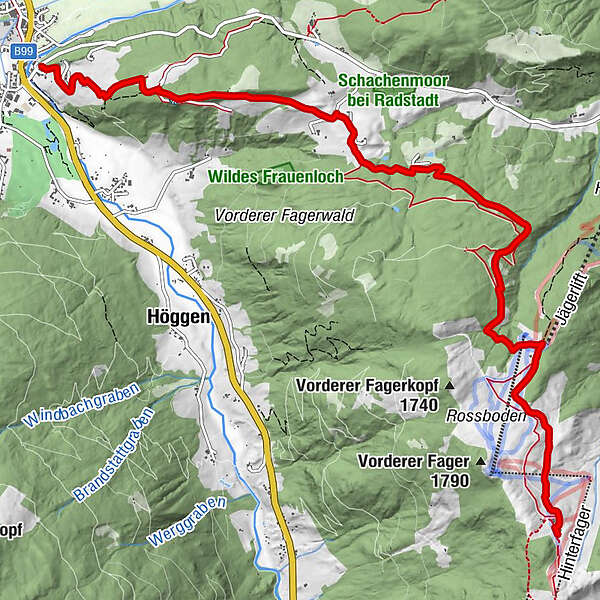
Gewürzmühle - Sauschneidgut - Gasthof Innviertler - Trinkeralm - hike to Hintere Fageralm
- Directions
-
You can reach the Sauschneidhof from the Hotel Gewürzmühle via an asphalt driveway (Sauschneidweg). Behind the Sauschneidhof the trail continues to the Kranabeth-chapel. From there a very quiet forest path (part of the Marienweg) takes you via the Premgut to Fagerstraße. After a short distance, the Bachseitenweg branches off from Fagerstraße to the Innviertler mountain-inn. You continue to hike along the Alpine Club Path No. 715 and reach the Trinkeralm.
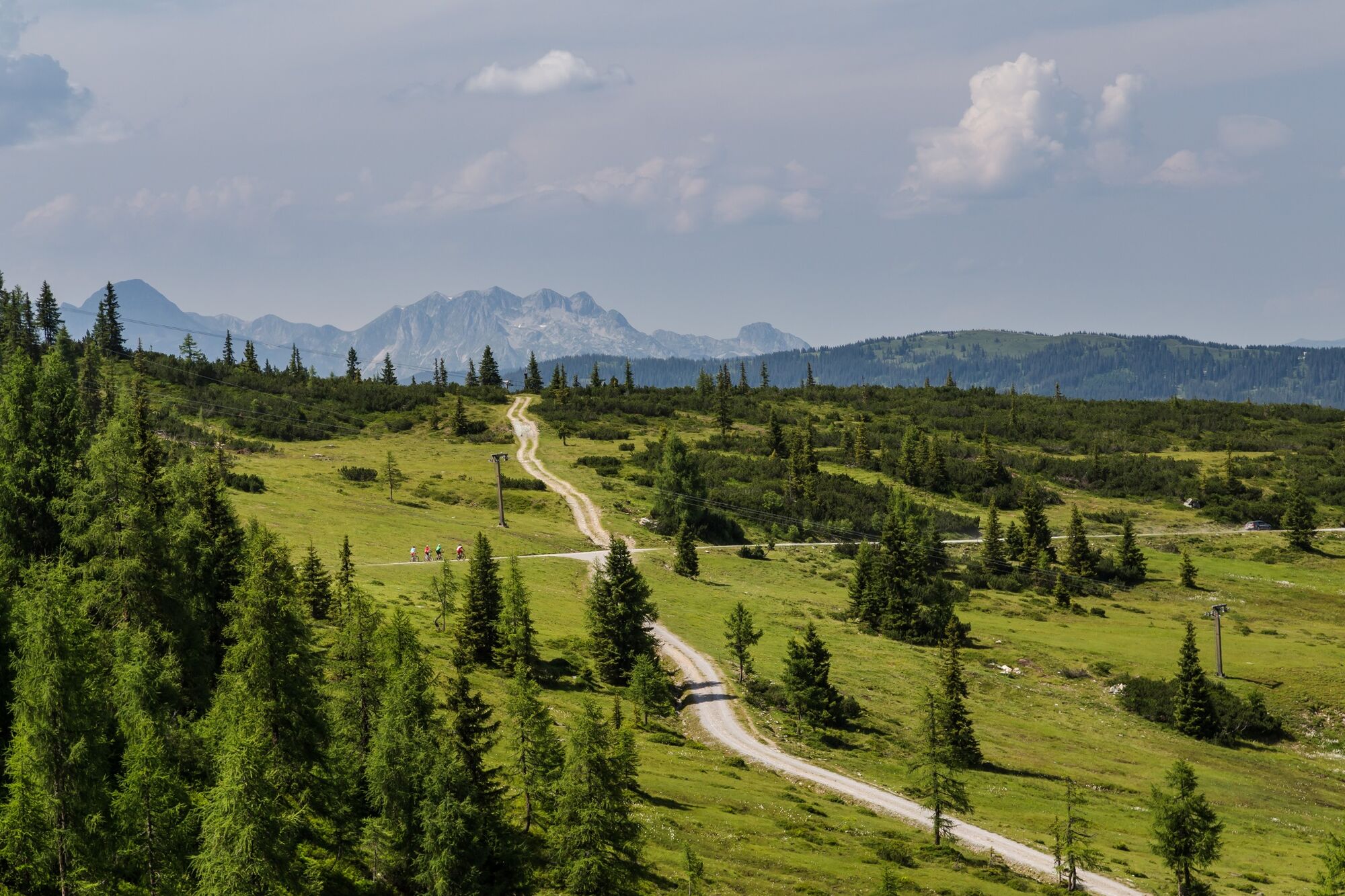
From the Trinkeralm, you can hike on the Fager hill and to the Hinterfager (1971 m, walking time approx. 1½ hours, red). On this high trail you can enjoy a wonderful panoramic view of all the surrounding mountains. This hike is particularly attractive at the time of the alpine blossom (June / July).
- Highest point
- 1,744 m
- Endpoint
-
Trinkeralm
- Height profile
-

- Equipment
-
In our hiking test center in Radstadt you can rent and test hiking shoes, hiking sticks, backpacks and child carriers. With the guest card, the first day is free.
-
-
AuthorThe tour Gewürzmühle - Innviertler Berggasthof - Trinkeralm (715) is used by outdooractive.com provided.
GPS Downloads


General info
Refreshment stop
Other tours in the regions
-
Schladming - Dachstein
3001
-
Obertauern
1648
-
Fageralm / Forstau
631


