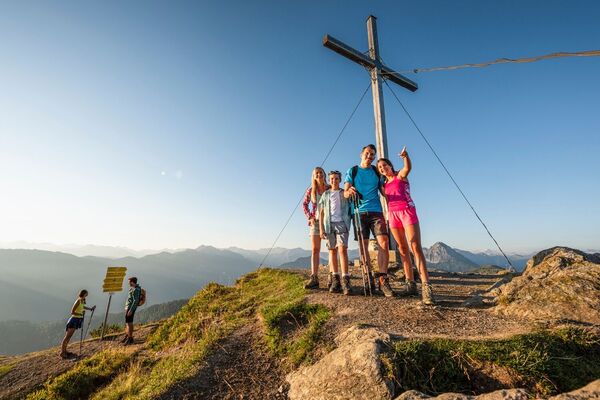

- Brief description
-
Moderate hike crossing Hochklingenberg Mountain to the Rettenebenalm.
- Difficulty
-
medium
- Rating
-
- Starting point
-
Reinbach
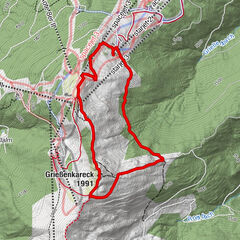
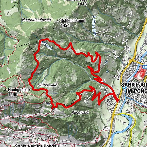
- Route
-
Sankt Johann im Pongau0.0 kmReinbach0.1 kmRettenebenalm (Roslalm)8.3 kmSteg11.6 kmSankt Johann im Pongau15.3 km
- Best season
-
JanFebMarAprMayJunJulAugSepOctNovDec
- Description
-
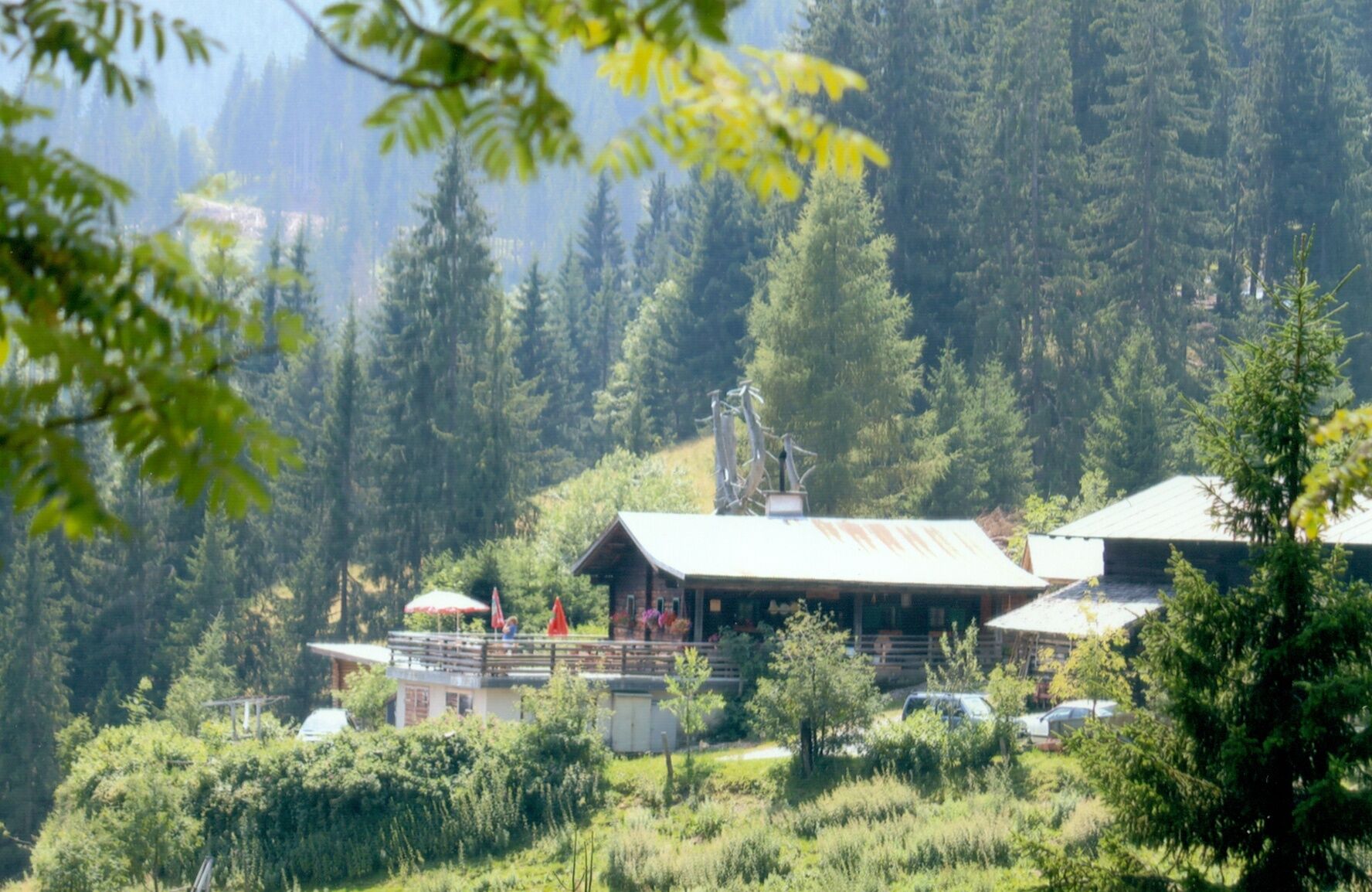
The lookout point on Hochklingen Mountain and the Paradise of Mary Convent provide worthwhile destinations for two hiking tours which begin both in St. Johann and in St. Veit. The convent was built on the Kinder Alm mountain pasture in 1985 and is run by an order of nuns who are also willing to share for a few days the experience of convent life with those looking for peace and time alone.
From the B311 in St. Johann-Reinbach (Jet Petrol Station-south) a road meanders along the Reinbach stream. Shortly after this road leaves the path of the stream, the Hedegg Service road on your left will lead uphill - follow this road to its end. When you reach a left-hand curve in the road where there is also a bench for resting, you have the choice of taking the well-signed trail #14 – in effect a short-cut (turn to your left shortly after entering the forest!) - or continuing on. Once you reach the end of the road in Hedegg you will come to a trail that continues at length through the forest leading you to a small wooden bridge. Cross the bridge and continue on the gravel road to your left. Walk here for about 20m to the right, then left through the woods to another gravel road by which you will reach the Kinder Alm Convent. Circumnavigate the convent on the left side along the fence via “Hochkönigs- and Dachstein Blick” to Hochklingenberg Mountain. Should you not wish to return along the same route, take the gravel road and hiking path #14 across wooded terrain to the Retteneben Alm Alpine Hut. Begin your decent after Troistein on the Katzlmoos service road. Once you reach the left-hand curve below the Katzlmoos, leave the road and continue on path #15 to the Reinbachgraben ravine and back to your point of origin.
- Highest point
- 1,348 m
- Endpoint
-
Rettenebenalm
- Height profile
-

- Author
-
The tour Crossing Hochklingenberg Mountain to the Rettenebenalm is used by outdooractive.com provided.