© Tourismusverband Eugendorf - Karin Hofmaier

© Tourismusverband Eugendorf - Karin Hofmaier

© Tourismusverband Eugendorf - Karin Hofmaier

© Tourismusverband Eugendorf - Sonja Schmiedbauer

- Brief description
-
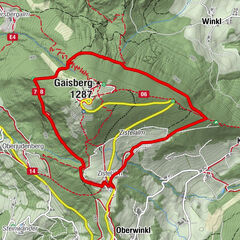
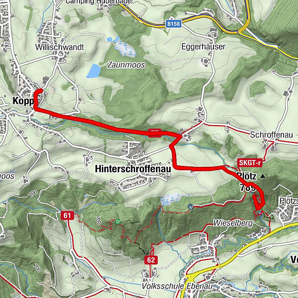
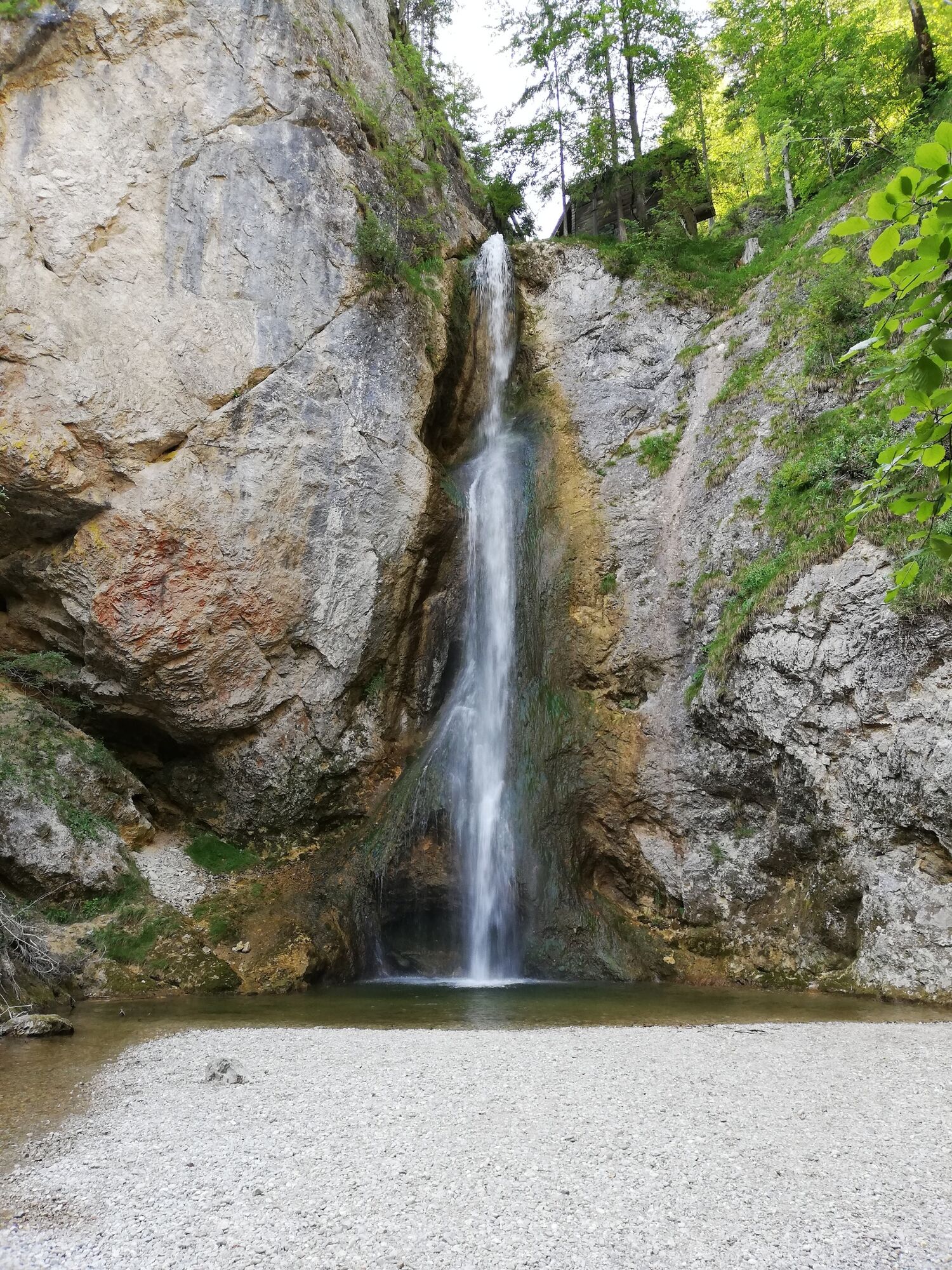
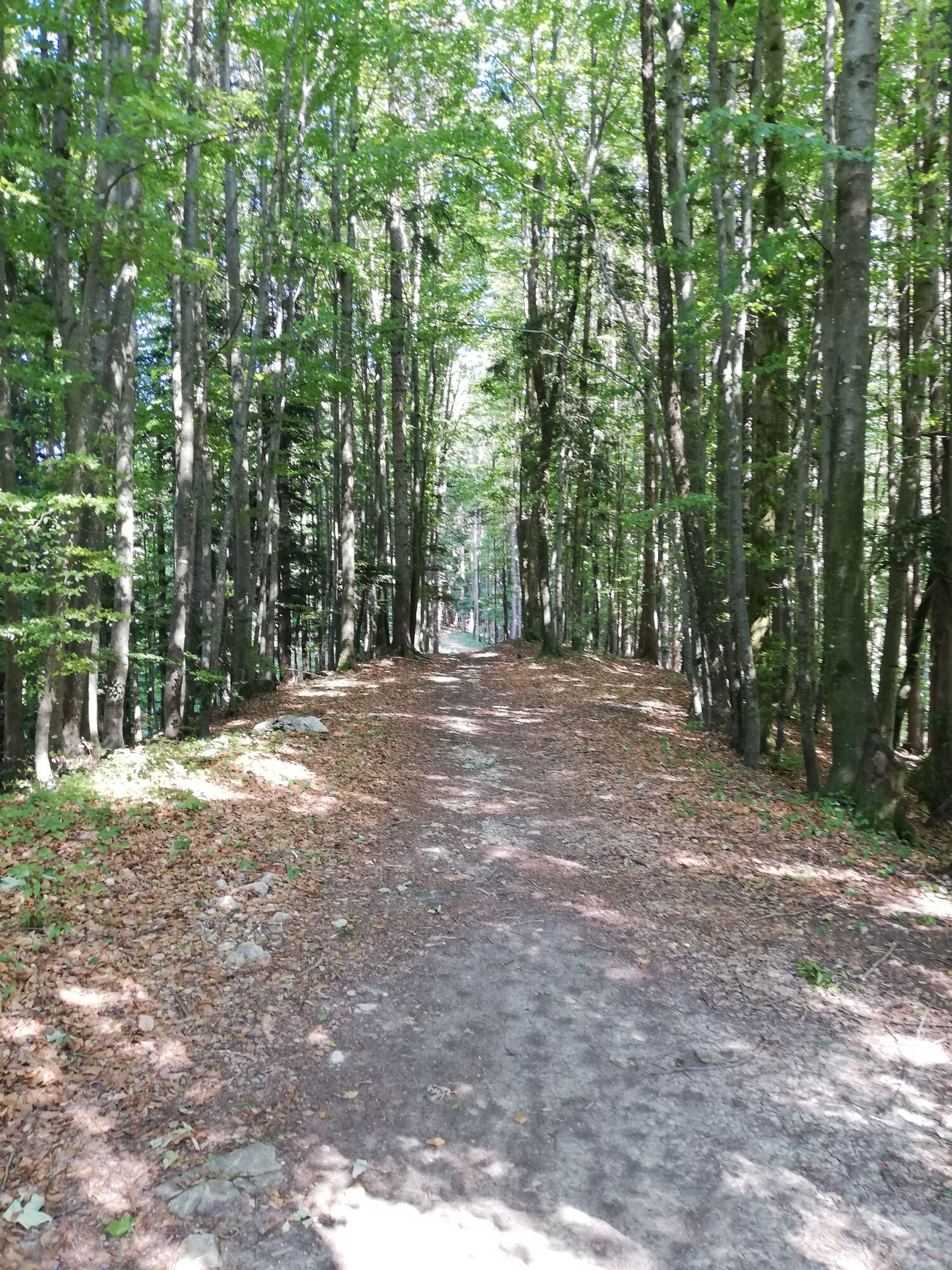
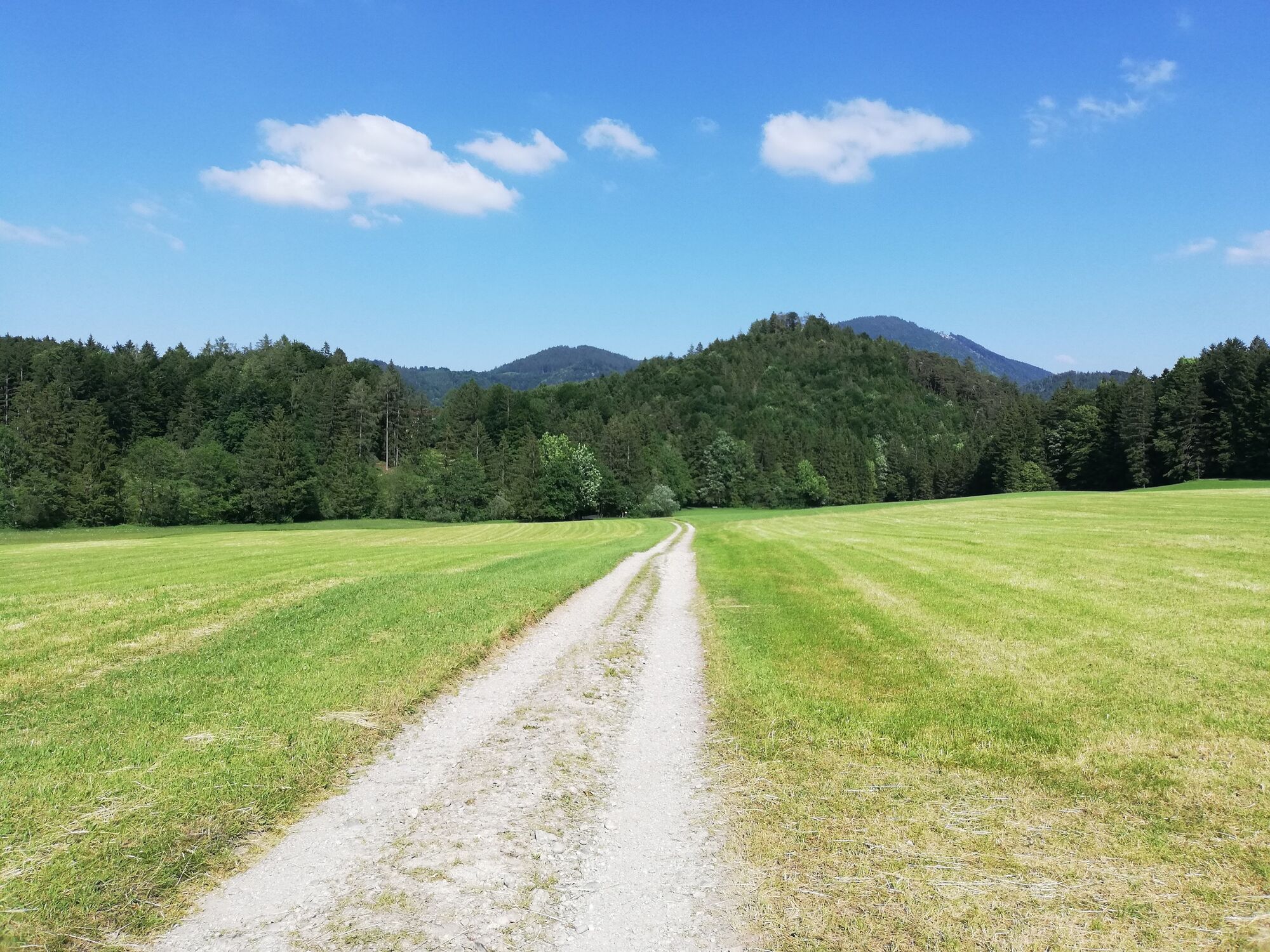
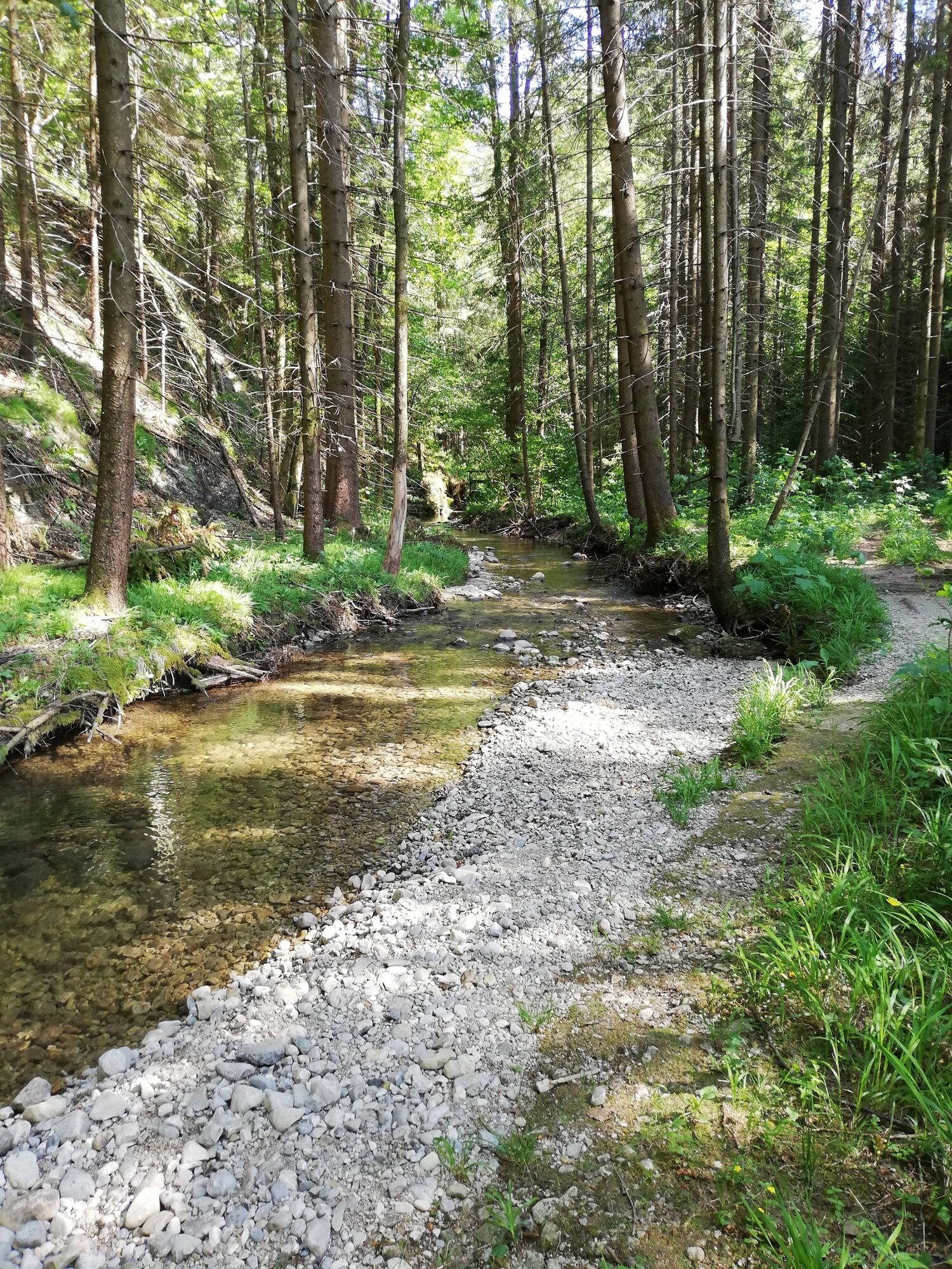
Erfrischende Wanderung vom Ortszentrum Koppl in die Plötz (Ebenau). Waldreiche Strecke entlang des Rettenbaches, die besonders an heißen Sommertagen angenehm ist.
- Route
-
Pfarrkirche Koppl0.1 kmKirchenwirt0.1 kmKoppl (755 m)0.1 kmHinterschroffenau0.8 kmPlötz2.9 kmKoppl (755 m)5.6 kmKirchenwirt5.7 kmPfarrkirche Koppl5.9 km
- Highest point
- 756 m
- Endpoint
-
Koppl, Ortszentrum
- Height profile
-

-

-
AuthorThe tour Wanderung von Koppl in die Plötz is used by outdooractive.com provided.
GPS Downloads


Other tours in the regions
-
Fuschlsee - Ferienregion
1659
-
Ebenau
565