


- Brief description
-
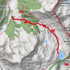
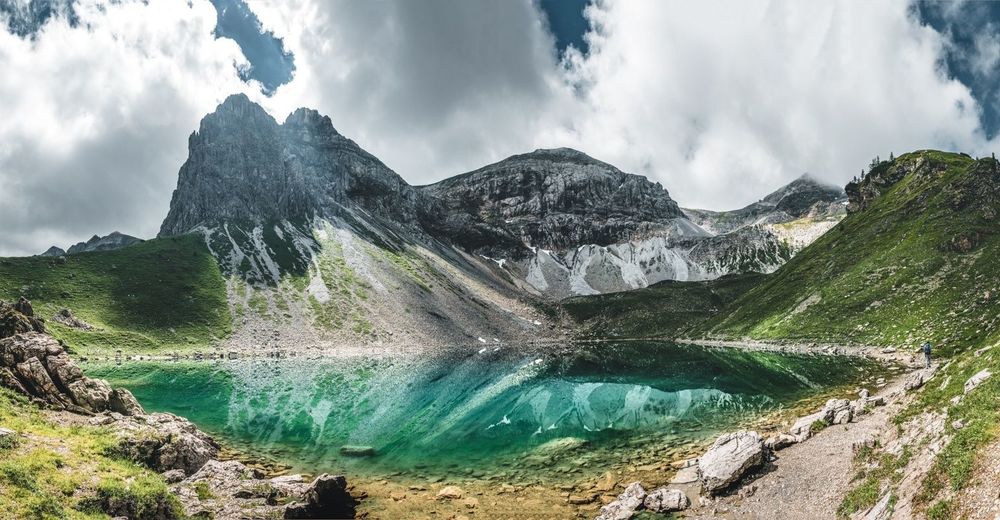
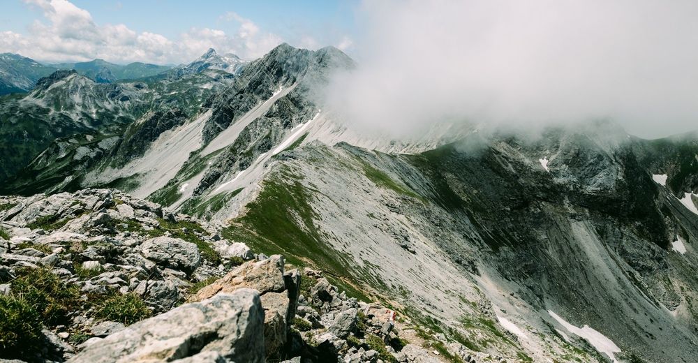
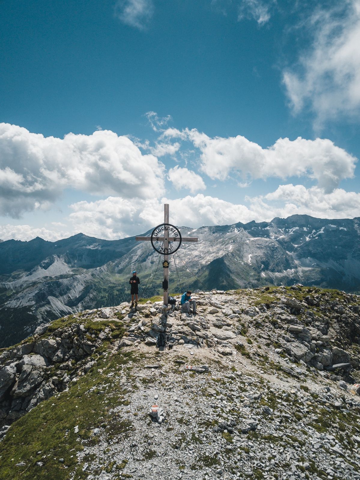
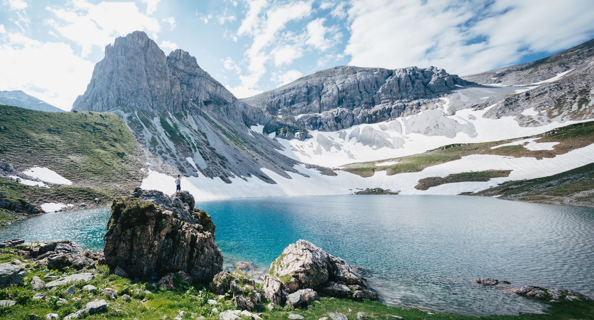
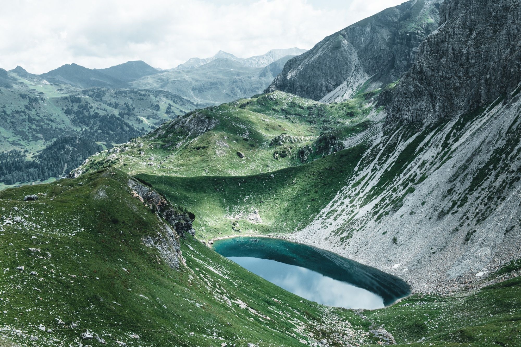
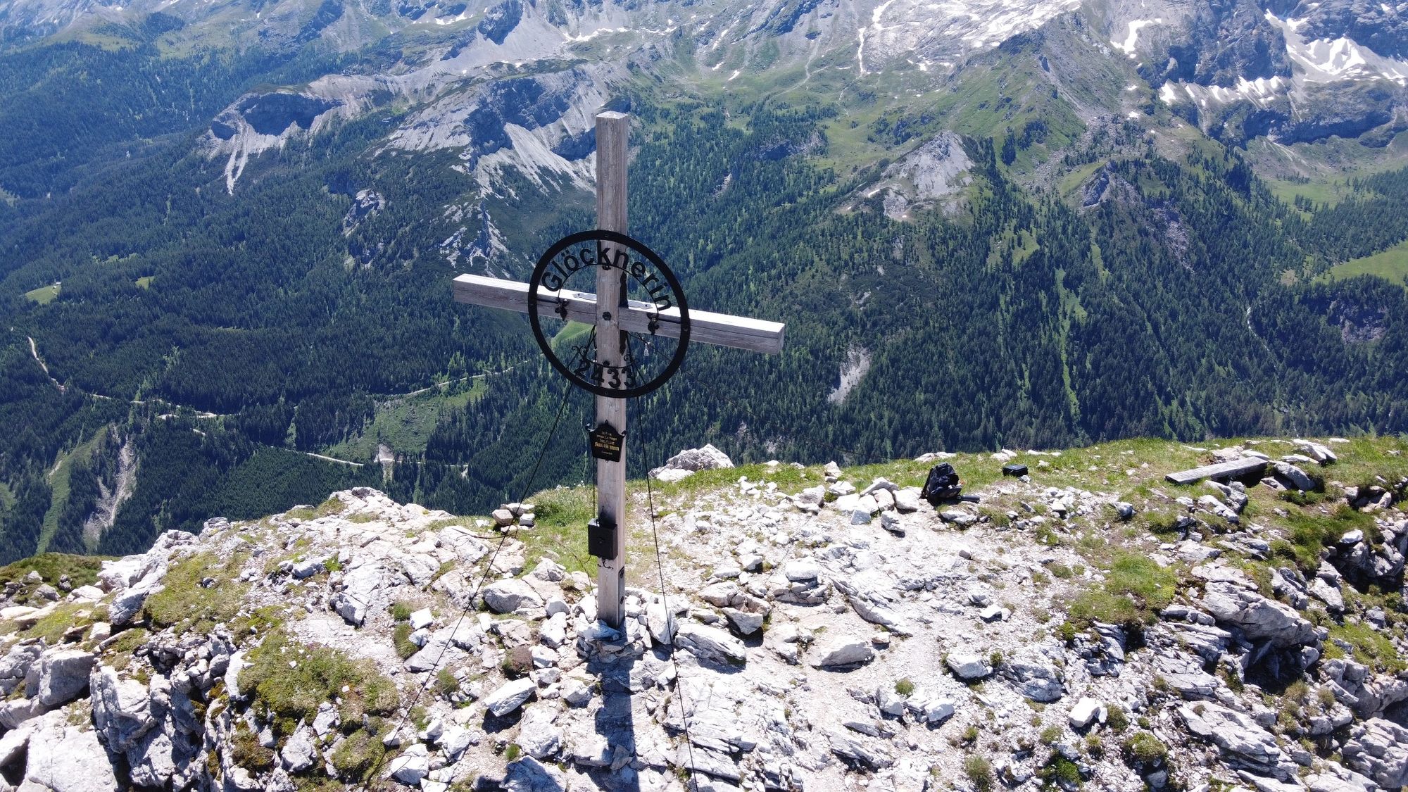
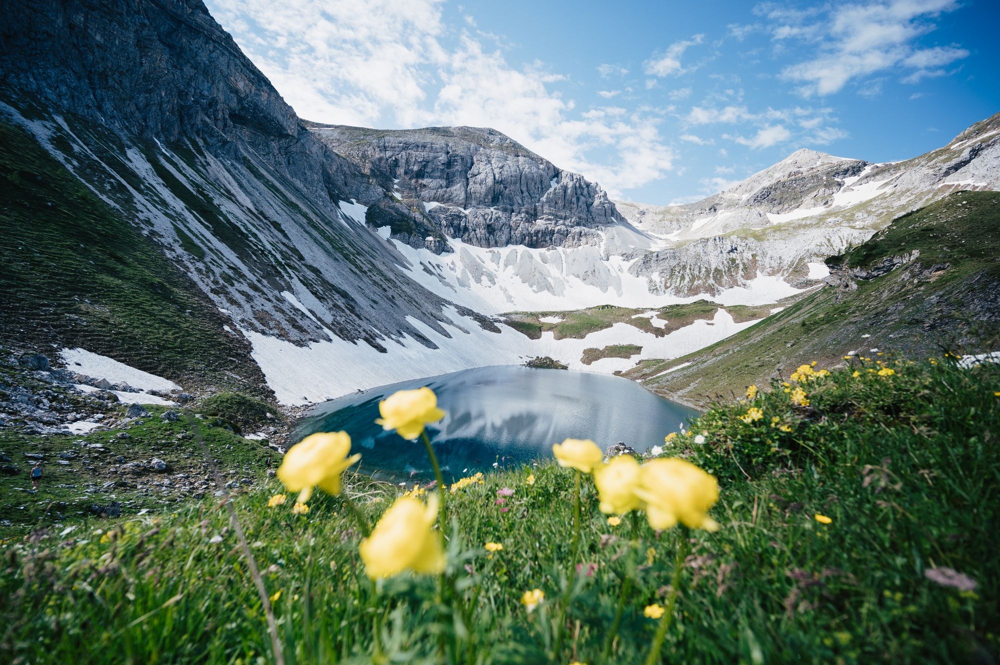
Felseralm - Wildsee - Glöcknerin
- Difficulty
-
medium
- Rating
-
- Route
-
Felseralm1.4 kmBödenalm2.1 kmGlöcknerin (2,433 m)4.9 kmBödenalm7.9 kmFelseralm8.5 km
- Best season
-
JanFebMarAprMayJunJulAugSepOctNovDec
- Highest point
- 2,421 m
- Endpoint
-
Öffentlicher Parkplatz - Felseralm
- Height profile
-


-

-
AuthorThe tour Glöcknerin - Wildsee is used by outdooractive.com provided.
GPS Downloads


General info
A lot of view
Other tours in the regions
-
Katschberg Lieser-Maltatal
2572
-
Obertauern
1646
-
Untertauern
504