- Brief description
-
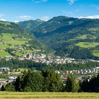
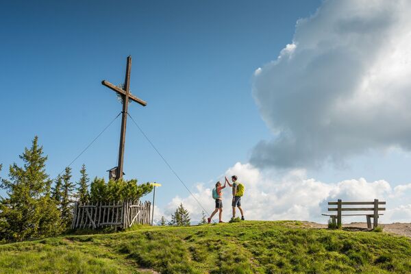
Hike up to the town's landmark mountain Hahnbaum.
- Difficulty
-
medium
- Rating
-
- Starting point
-
City Centre
- Route
-
Sankt Johann im Pongau0.1 kmPfarrkirche St. Johann0.1 kmSankt Johann im Pongau0.2 kmEvang. Annakapelle0.2 kmPrem0.6 kmVögeihütte4.0 km
- Best season
-
JanFebMarAprMayJunJulAugSepOctNovDec
- Description
-
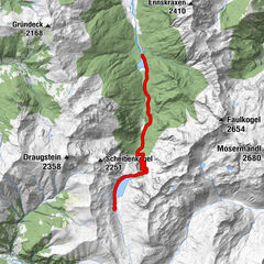
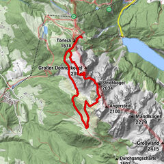
The Arzenbach Graben is a ravine that runs behind the swimming pool to the Zacherlegg farm. From here head right and walk for awhile along the level gravel road, then left along a field which leads you uphill to the top station of the T-bar. From there you will follow a path into the woods and traverse two ravines. A somewhat wider gravel road will take you across a beautiful larch-covered meadow to a service road close to the Hahnbaum. Please be aware that this path can be steep at times.
The Hahnbaum may also be accessed by car. Follow the road towards Wagrain and turn left after about 3km. The drive to the Hahnbaum is about 3km uphill on this route.
- Highest point
- 1,111 m
- Endpoint
-
Hahnbaum
- Height profile
-
- Tips
-
Enthusiastic hikers use the top of Hahnbaum Mountain as a point of departure for a tour up to the popular Hochgründeck Mountain Peak - see From Hahnbaum to Hochgründeck.
- Parking
-
You can park your car in the city centre: area Hans-Kappacher-Straße and Färbergasse.
- Author
-
The tour St. Johann - Hahnbaum is used by outdooractive.com provided.


