- Brief description
-
Geological hike from the village center along the Randobach - continue the forest path to the Schneckenwand - over the trail to the Fallenegg - the road back to Russbach.
- Difficulty
-
easy
- Rating
-
- Starting point
-
Village Square Russbach
- Route
-
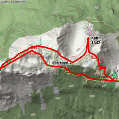
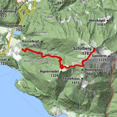
RußbachsaagKirchenwirtRußbachsaag7.9 kmKirchenwirt8.0 km
- Best season
-
JanFebMarAprMayJunJulAugSepOctNovDec
- Description
-
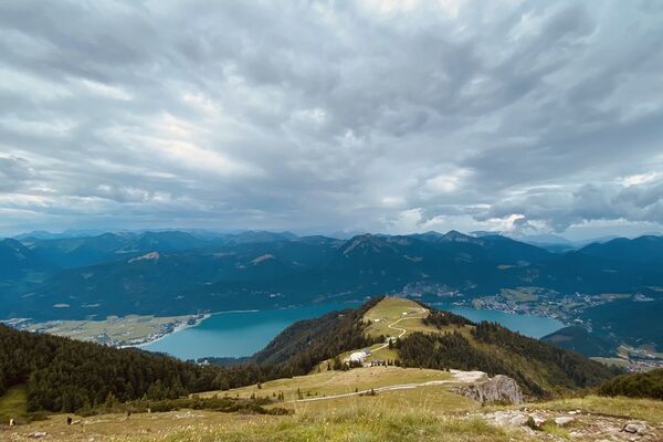
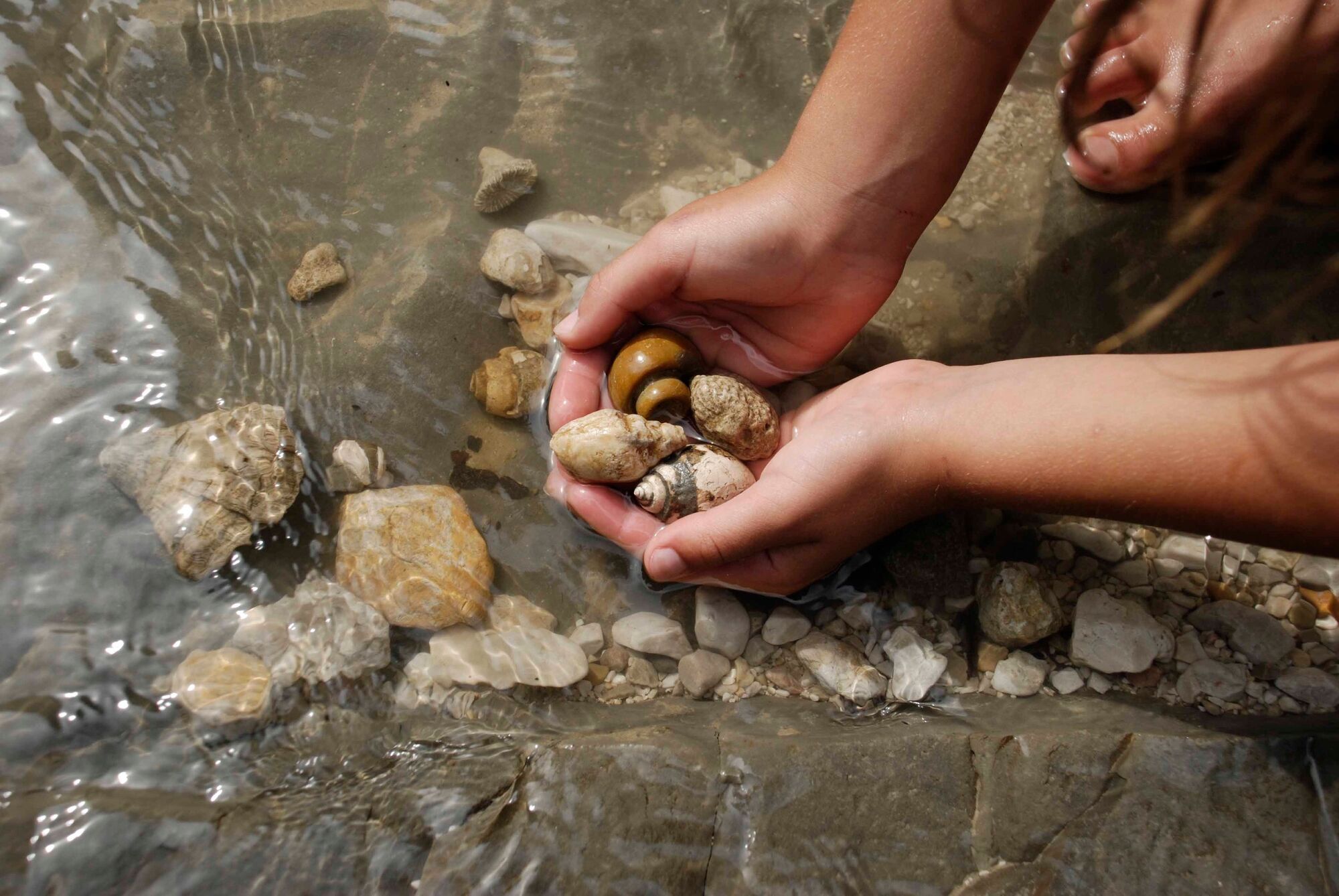
The snail wall is situated on the southern slope of the Gamsfeld at an altitude of around 1,200 m. The circuit takes you along the forest track towards Neuam. After about 3 km the path branches off to the left. You pass a wild game feeding station, and after a total of about 1 1/2 hours you will reach the Snail Wall. The fossil deposit site is to the immediate right of the forest track. The Snail Wall never fails to impress with its massive outcropping of Russbach snails, mainly of the genus trochataeon, and other fossils. You can get a clear view of the fossilised snails on the surface laid bare of the humus layer. Digging and blasting are strictly forbidden! The homeward path leads you through a sparse mountain forest to the Fallenegg farm. Return to the village centre along the road.
- Directions
-
Past the village hall and head left (north) on Rinnbachstrasse to the Rinnbach bridge . After ca. 150 m, turn right onto the paved Fallenegg supply lane and continue to the last farm (Oberstöcklhof). The path continues past this farm out to a clearing below the so-called “Schneckenwand” (“Snail Wall”, location of significant fossil finds). Return via the forestry road towards Neualm and, after crossing the Randobach, make a right and return to Russbach. As you hike alongside the stream, you will likely come across many fossils.
- Highest point
- 1,105 m
- Endpoint
-
Village Square Russbach
- Height profile
-

- Safety instructions
-
Hard shoes, rain jacket and a snack are recommended.
- Tips
-
A visit to the Museum "Fossilienkabinett" at the parish hall is very rewarding.
- Directions
-
Coming from the A10 motorway, take the exit Golling direction Abtenau and Russbach. From Bad Ischl you drive via Bad Goisern and Gosau to Russbach.
- Public transportation
- Parking
-
You will find enough parking area in the center of Russbach or at the parking area „Rinnbach“.
- Author
-
The tour Russbach: Schneckenwand Rundweg (8 Punkte) is used by outdooractive.com provided.