- Brief description
-
Magnificent mountain tour to the highest peak of the Osterhorn Group
- Difficulty
-
difficult
- Rating
-
- Starting point
-
Village Squarre Russbach
- Route
-
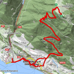
RußbachsaagPfarrkirche zum Hl. KreuzKirchenwirtAngerkarhütte3.6 kmGamsfeld (2,027 m)5.9 kmRußbachsaag11.3 kmKirchenwirt11.3 kmPfarrkirche zum Hl. Kreuz11.4 km
- Best season
-
JanFebMarAprMayJunJulAugSepOctNovDec
- Description
-
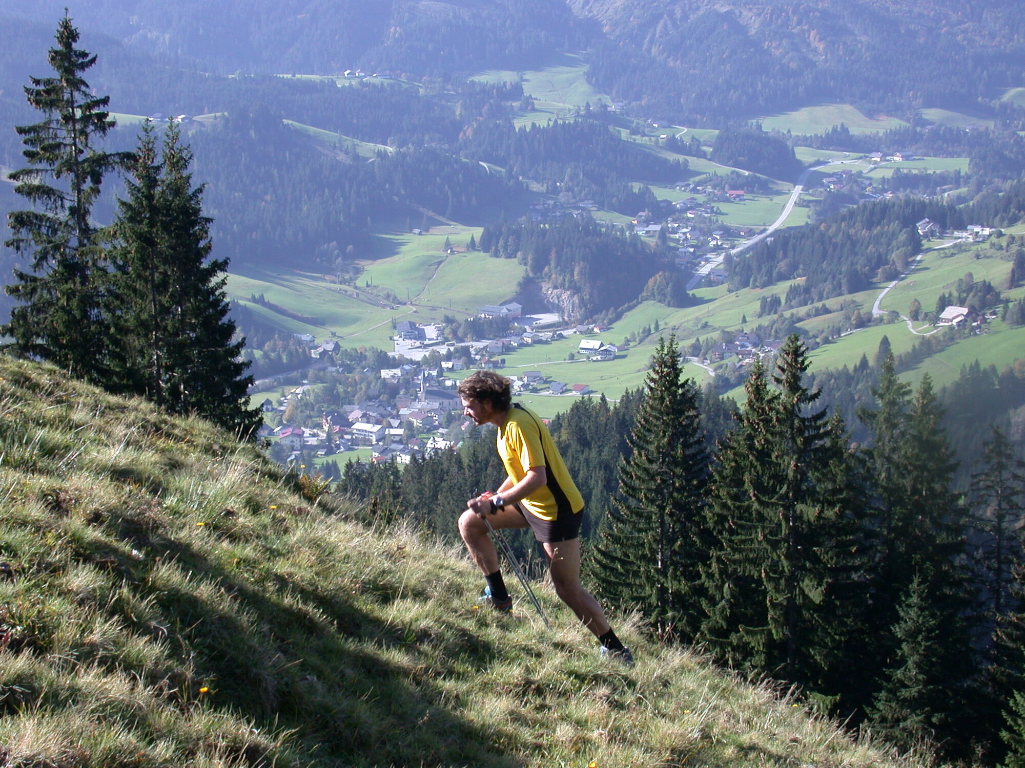
From Russbach you can reach wonderful alpine pastures in a relatively short time. The circular route takes you first to the Traunwandalm, then via the Angerkaralm to the Rinnbergalm. On the way you will learn all sorts of interesting things about life on the alpine pasture. The management of the pastures was once a hard and deprived work. We should imagine them less romantic and relaxing than today may seem to arouse the appearance. In addition to the supervision of the cattle, the cultivation of butter-malt, scotch and cheese was the focus of the farms.Fortunately, cheese production on the pastures has recently undergone a renaissance in the course of tourism and all hikers are well advised to try it.
- Directions
-
Hike across steep alpine grazing areas to the top of the Gamsfeld. Advantage over path No. 35: You will be able to enjoy the morning shade during the hike up. Path No. 30 to the Rinnbach bridge . After the car park continue right, following the paved road for about 150 m. Shortly before the farm (Fallenbachbauer), turn left onto a forest path. After ca. 30 minutes on trail, you will come to a forestry road where you will continue to the left. At the end of the road, left onto a romantic hiking path. Crossing a steep area of pastures, in about 1 hr. you will come to the Angerkaralm (1416 m). The path continues to the right of this hut through a beautiful cirque, then leads via a series of steep switchbacks and a wide alpine saddle to the ridgeline, and finally up to the summit of the Gamsfeld (2028 m). Hike down either the same way or via the Traunwandalm to Russbach. Caution: the path is occasionally in steep terrain and on loose rock!
- Highest point
- 2,007 m
- Endpoint
-
Village Squarre Russbach
- Height profile
-

- Equipment
-
Hard shoes, rain jacket and a snack are recommended.
- Directions
-
Coming from the A10 motorway, take the exit Golling direction Abtenau and Russbach. From Bad Ischl you drive via Bad Goisern and Gosau to Russbach.
- Public transportation
-
You can reach Russbach by bus no. 470 from Gosau and Golling. Information about the travel times can be found at www.oebb.at
- Author
-
The tour Russbach: Angerkaralm-Gamsfeld-Rundweg is used by outdooractive.com provided.