
- Brief description
-
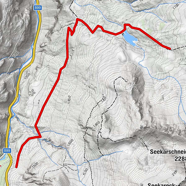
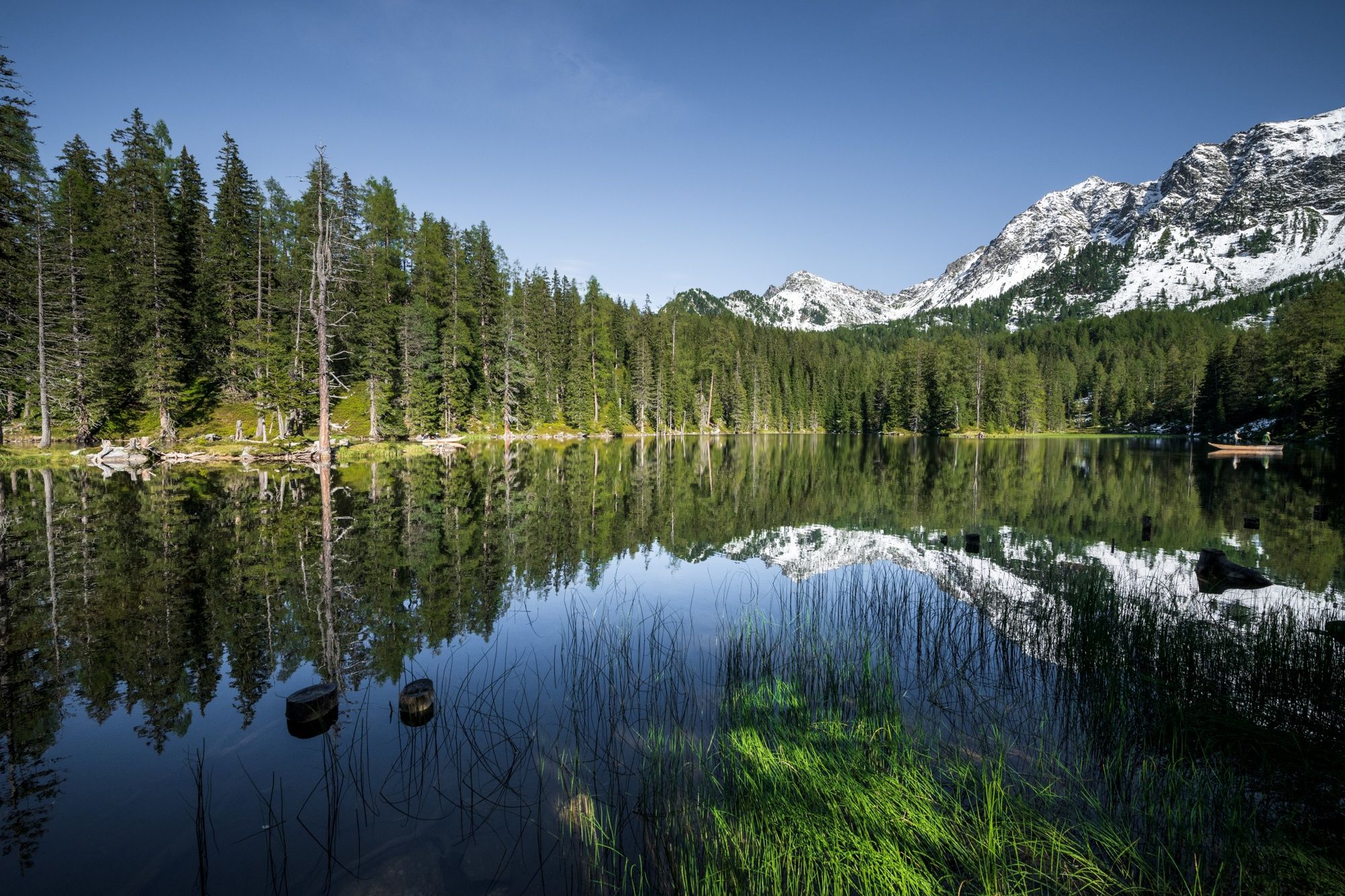
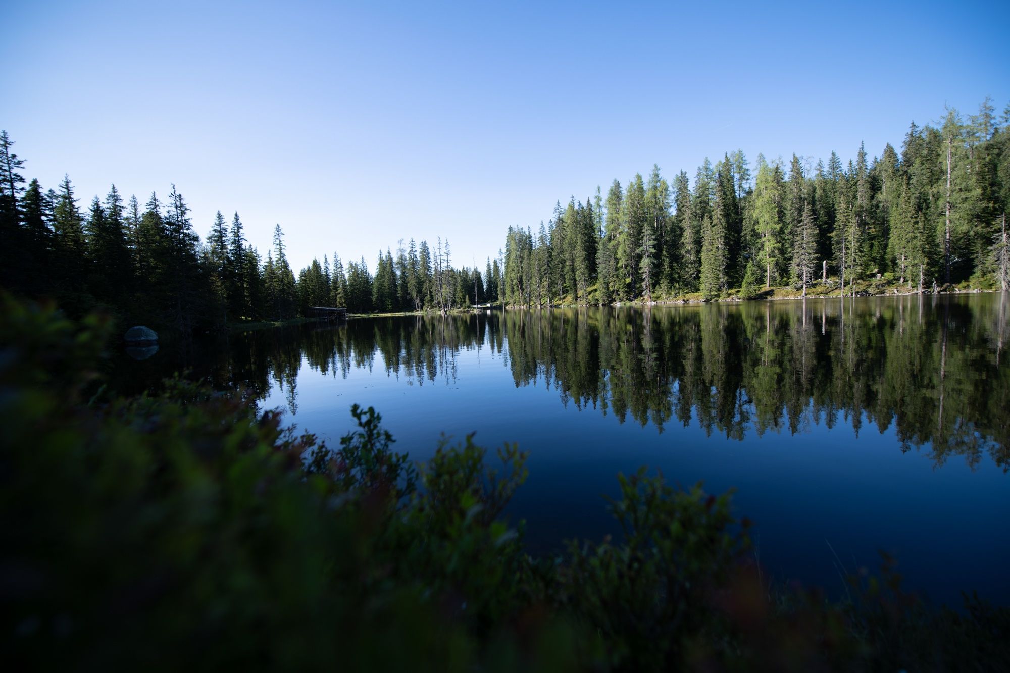
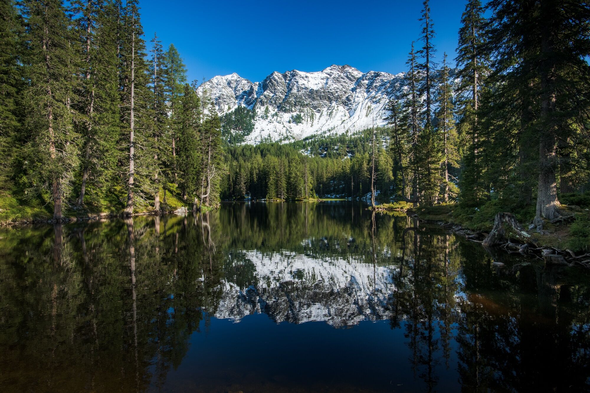
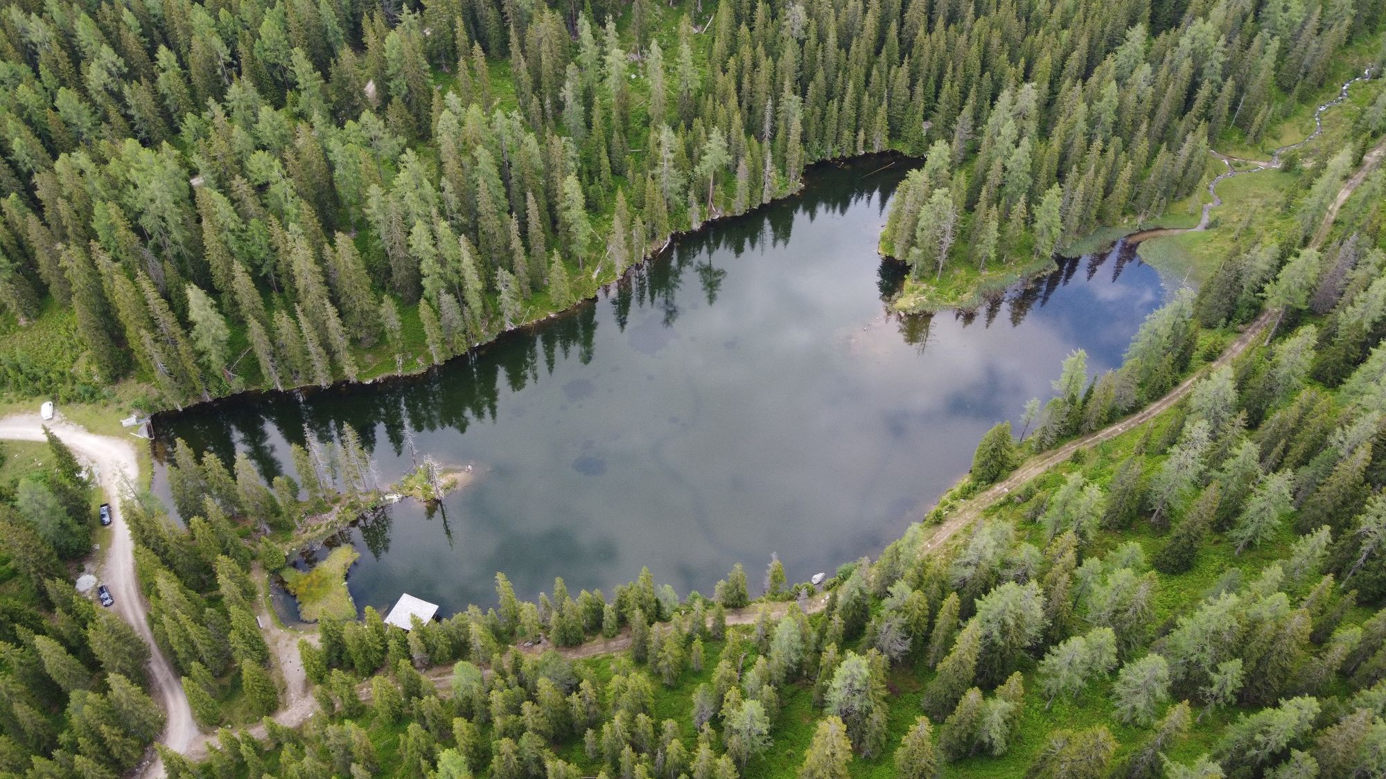
Vordergnadenalm - Maierlalm - Tauernkarsee - Tauernkaralm
- Difficulty
-
easy
- Rating
-
- Route
-
Hauskoppenalm2.5 kmTauernkaralm3.8 km
- Best season
-
JanFebMarAprMayJunJulAugSepOctNovDec
- Highest point
- 1,676 m
- Endpoint
-
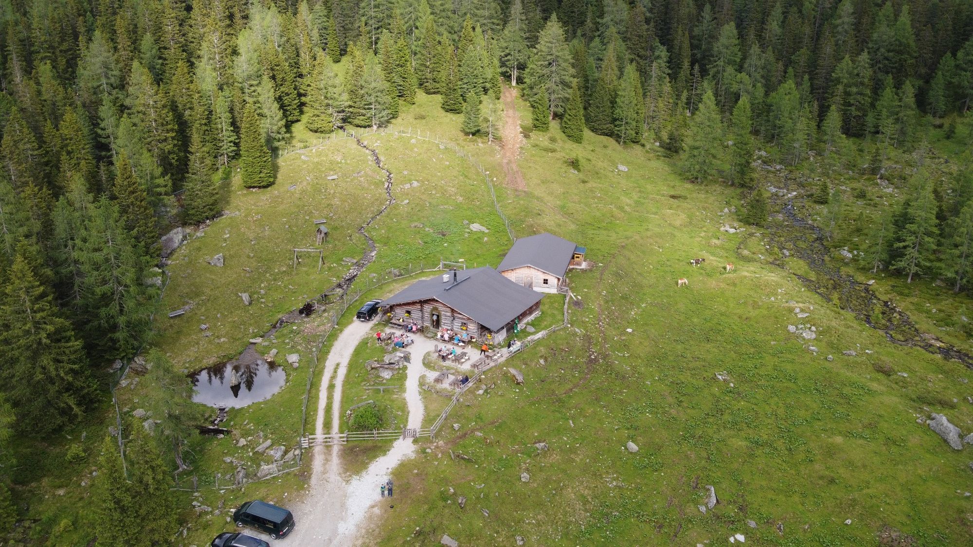
Tauernkaralm
- Height profile
-


-

-
AuthorThe tour Tauernkarsee is used by outdooractive.com provided.
GPS Downloads


General info
Refreshment stop
Insider tip
Other tours in the regions
-
Katschberg Lieser-Maltatal
2556
-
Obertauern
1644
-
Untertauern
505