


- Brief description
-
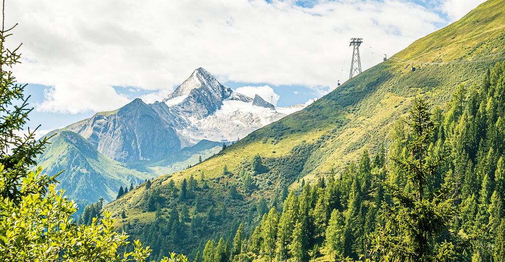
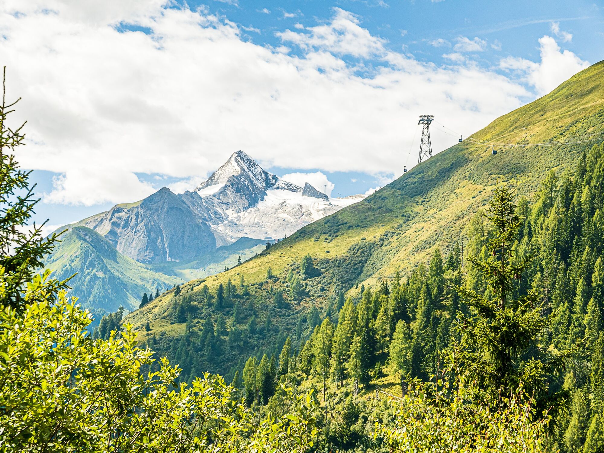
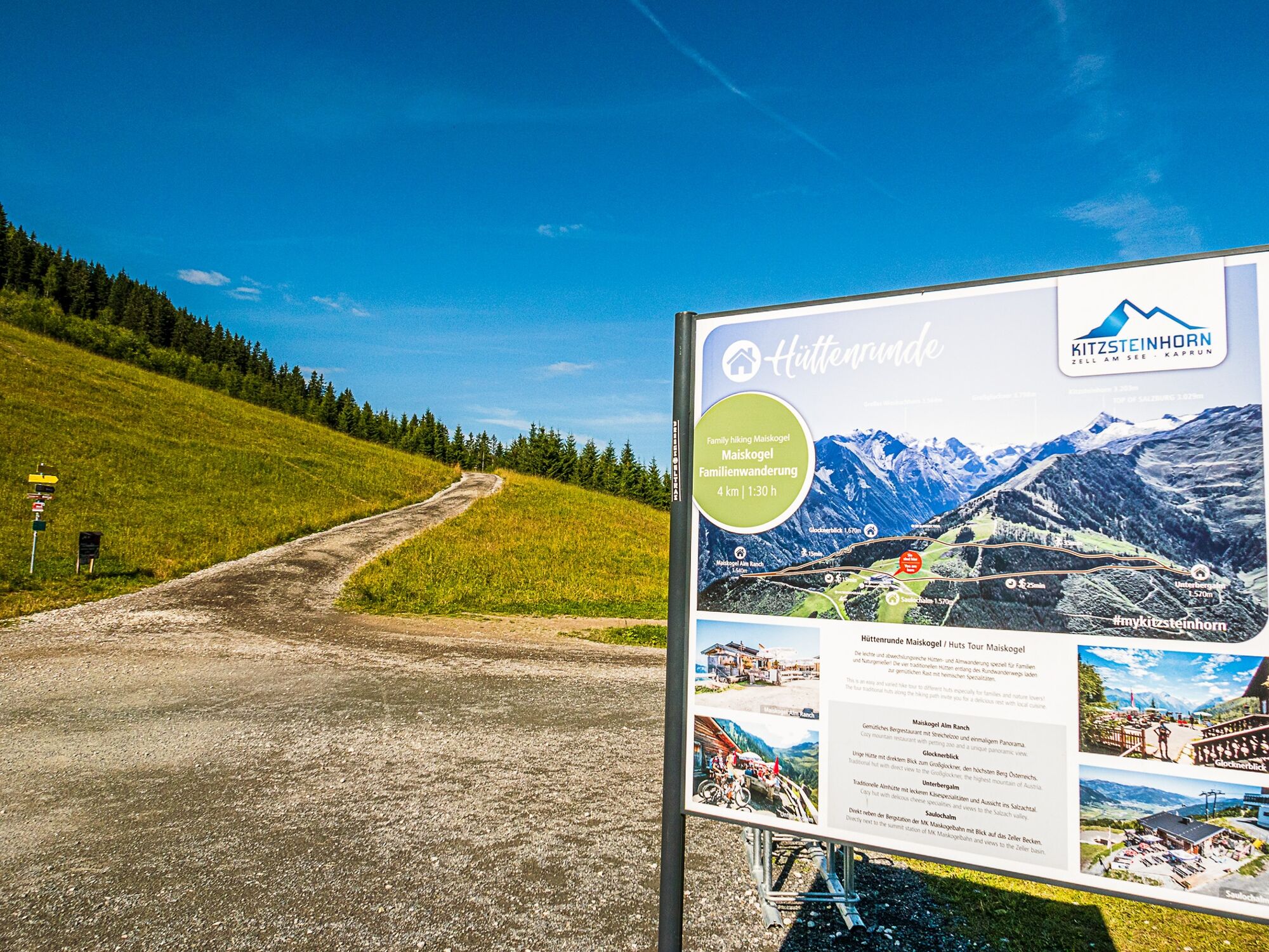
This hike across alpine pastures to mountain huts is easy, filled with variety and very suitable for families as well as nature lovers.
- Difficulty
-
easy
- Rating
-
- Starting point
-
Maiskogel mountain terminal
- Route
-
Unterbergalm1.3 kmGlocknerblick2.6 kmMaiskogelalm3.3 kmSaulochalm4.7 km
- Best season
-
JanFebMarAprMayJunJulAugSepOctNovDec
- Description
-
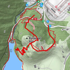
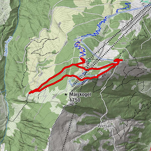
From the town center of Kaprun, you will first enjoy a comfortable lift ride on the MK Maiskogelbahn up to the Maiskogel mountain terminal at 1570 m. This is where the actual Hut Tour begins.
A pram-friendly path: Start out from the Maiskogel mountain terminal, then continue to Alpengasthaus Glocknerblick and Maiskogel Alm Ranch (20 – 30 min between each).
- Directions
-
The flat path leads in a westerly direction through mystical forests to the traditional Unterbergalm (1570 m). Now heading north, you will climb gently to Alpengasthof Glocknerblick (1670 m), which is also a scenic lookout point. Now dropping in elevation, the path brings you to Maiskogel Alm Ranch (1540 m) with its petting zoo. Before returning to the valley, you might wish to treat yourself to one final refreshment break at the Saulochalm (1570 m), located directly below the Maiskogel mountain terminal.
- Highest point
- 1,675 m
- Endpoint
-
Maiskogel mountain terminal
- Height profile
-

- Equipment
-
Sturdy footwear
- Additional information
- Directions
- Public transportation
-
Bus stop Kaprun Maiskogelbahn


-

-
AuthorThe tour Maiskogel hut tour is used by outdooractive.com provided.